Little Prairie Lake
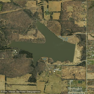
Little Prairie Lake
- Boat Ramps
- 1
- Access Points
- 5
- Campsites
- 0
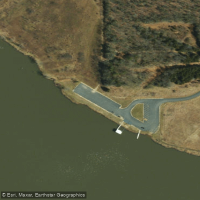
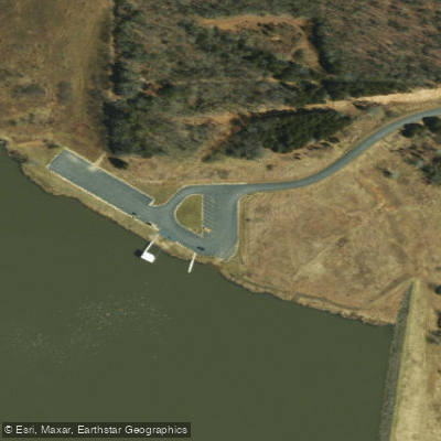
Little Prairie Lake Conservation Area, located between Rolla and St. James, Missouri, features a 95-acre body of water now known as Towell Lake. The lake allows both paddle-powered and prop-powered boats, though water skiing and swimming are prohibited. A concrete boat ramp provides the main access point, reached by taking Interstate 44's north outer road to State Route RA, then following the second entrance road on the left.
The lake's muddy shores are dotted with fallen trees, which create productive fishing areas and interesting features for paddlers to explore. A nearly four-mile hiking trail encircles the entire lake, offering paddlers multiple vantage points and the option to combine paddling with shoreline activities. The landscape transitions from wooded southern and western shores to more open prairie views, with stands of cedar and oak creating a diverse backdrop.
Three separate parking areas with picnic tables and benches serve as convenient put-in points or rest stops. The lake's dam provides one notable landmark, while the northern tip offers scenic woodland vistas. The 29-acre Heilbrunn Prairie along the southeast corner adds to the natural diversity visible from the water.
The lake was created in 1963 by damming an unnamed tributary of the Bourbeuse River. Originally named Little Prairie Lake, it was renamed to honor William E. Towell, a former Missouri Department of Conservation director. The surrounding 342-acre conservation area preserves a mix of restored prairie and woodland habitat.
Facilities include picnic tables, benches, and a boat launch. While motor boats are permitted, the relatively small size of the lake makes it well-suited for peaceful paddling excursions. The conservation area's multiple parking areas and boat launch provide flexibility for planning different paddling routes around the lake.
Water access, boat ramps & amenities
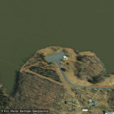
Learn how to get on Little Prairie Lake. Uncover great paddling access points, boat ramps, and all the facilities you need for an unforgettable day on the water. Some locations shown may border or include private property. Always check property boundaries and applicable regulations before visiting. PaddleWays's Public & Private Land layer can help you plan your access with confidence.
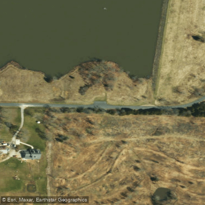
Paddle smarter with real-time insights
Whether you're en route and conditions shift or you're looking for the best spot based on current flows, we enable you to make informed decisions on the fly.








Find Places to Paddle

Over 400,000 Places to Paddle
Every user gets free access to launch points, boat ramps, and public property parcels.


Water and weather conditions (10 day forecast)
See the best times to paddle Little Prairie Lake and check the forecast before you go.
No forecast data available.
Paddling near Little Prairie Lake
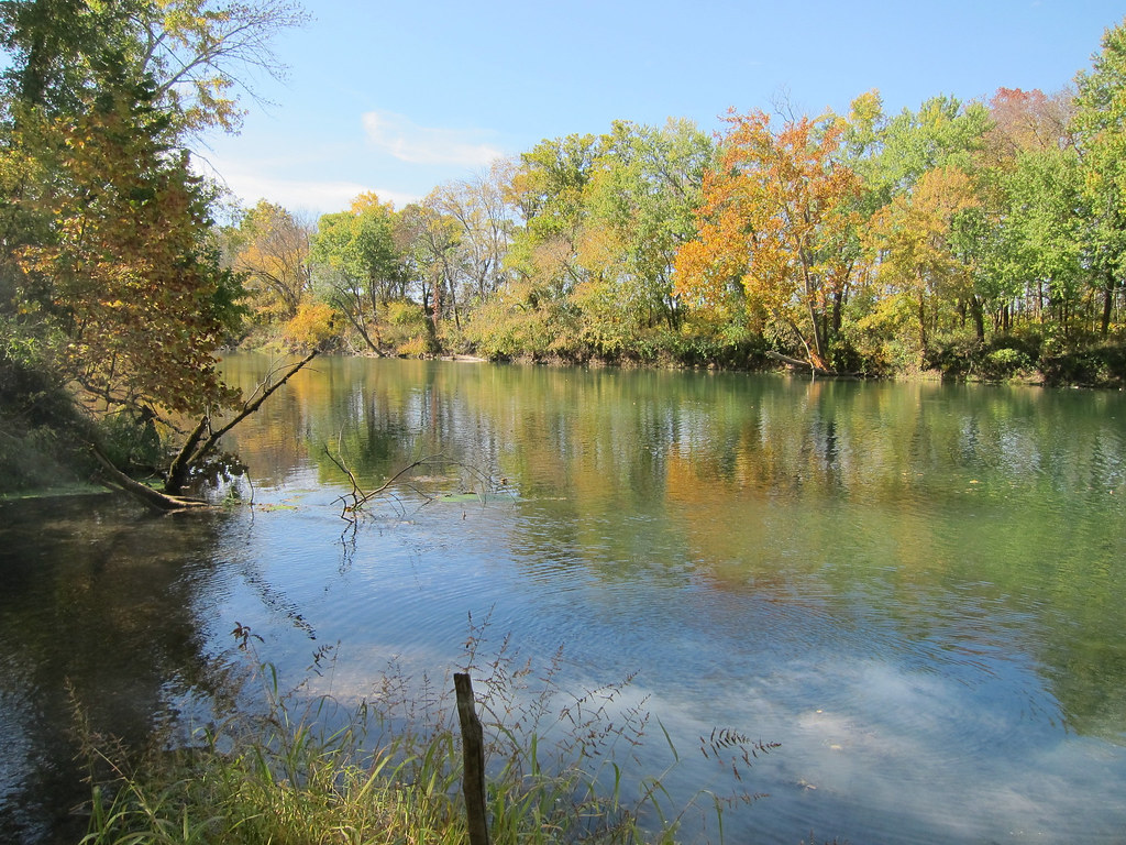
Gasconade River
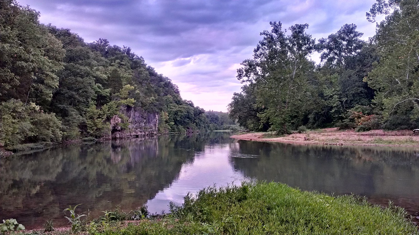
Meramec River
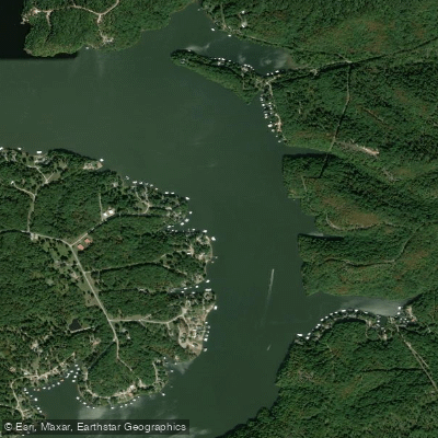
Osage River
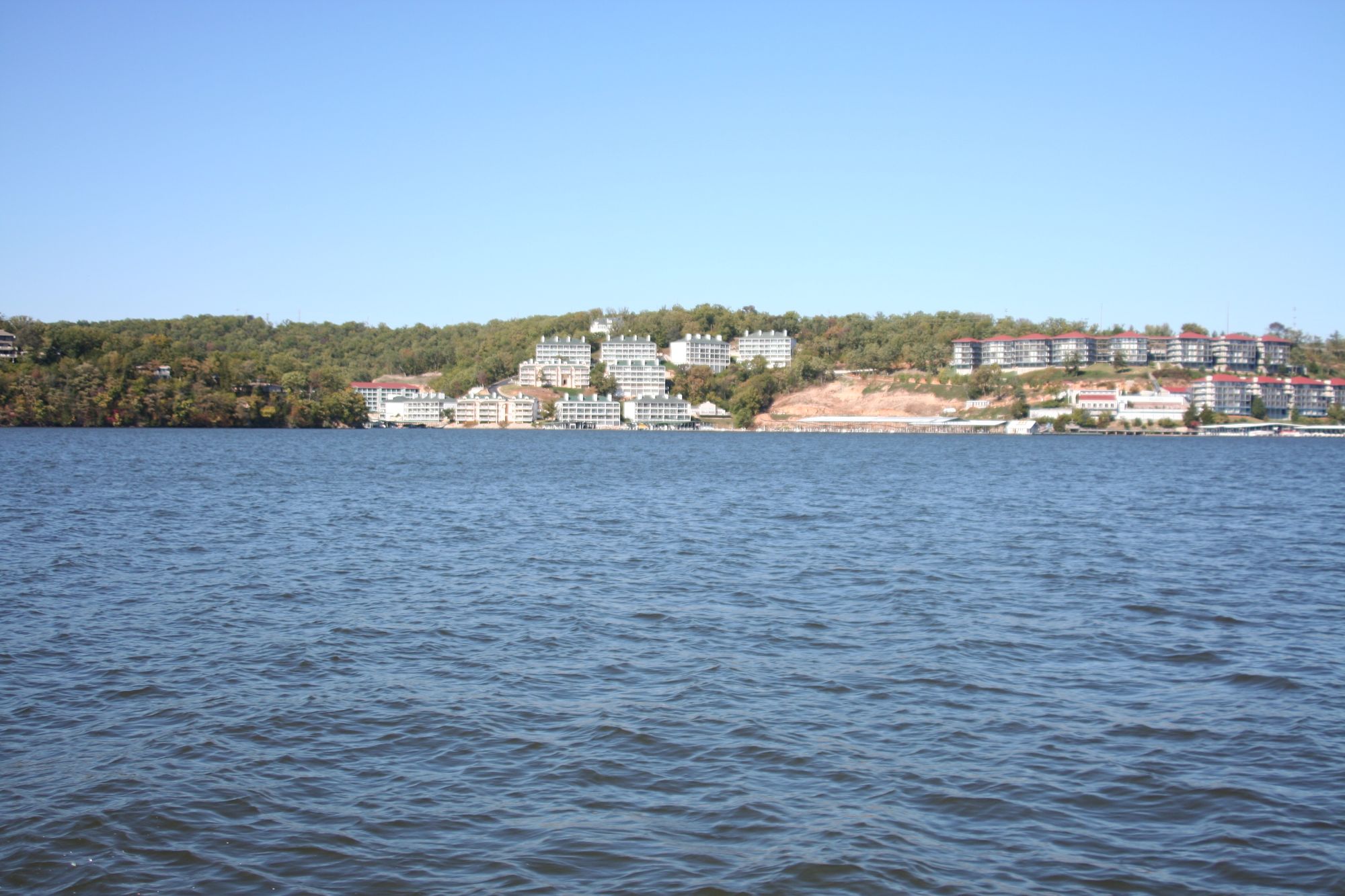
Lake of the Ozarks

Missouri River
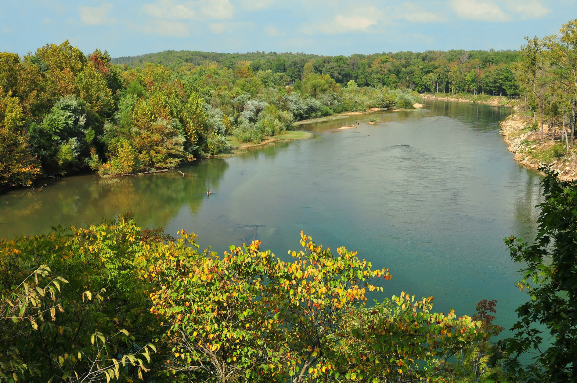
Current River
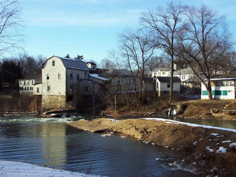
Big River
Bourbeuse River
Big Piney River
Explore Missouri waters
Top paddling waters
Popular Cities
Loading popular cities...
Explore near Little Prairie Lake
Access points
- Little Prairie Conservation Area Boat Ramp
- Little Prairie Conservation Area Access
- Little Prairie Conservation Area Access
- Little Prairie Conservation Area Access
- Little Prairie Conservation Area Access
- Bourbeuse Cr Bridge
- Cox Br Bridge
- Bourbeuse Rvr Bridge
- Dailey Br Bridge
- Br Of Bourbeuse Rv Bridge
- Franz Br Bridge
- Burgher Cr Bridge
- All 19 spots
Nearby waters
More in Missouri

Smarter Paddling Starts in the App.
Paddleways gives you everything you need to plan smarter, paddle better, and own every trip from first launch to takeout.