Castor River Diversion Channel
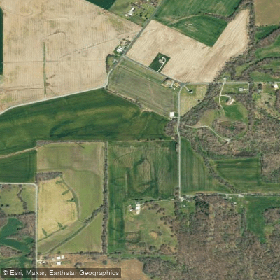
Castor River Diversion Channel
- Boat Ramps
- 2
- Access Points
- 2
- Campsites
- 1
The Castor River Diversion Channel is a unique waterway system in southeast Missouri, originating near Fredericktown and flowing southeast towards Cape Girardeau. This engineered channel, part of a larger flood control project, diverts water from the natural Castor and Whitewater Rivers into the Mississippi River. The upper section of the Castor River, known for its shut-ins, offers an exhilarating paddling experience.
Near Amidon, MO, paddlers can navigate through narrow gorges where the river cuts through exposed bedrock, creating Class II-III rapids. This 15-mile stretch from Amidon to Highway 34 in Bollinger County challenges intermediate to advanced paddlers with its technical whitewater and scenic beauty.
Downstream, the Lower Castor River Diversion Channel presents a stark contrast. This 50-mile flatwater section from near Fredericktown to the diversion channel near Cape Girardeau is suitable for novice paddlers and a variety of watercraft. However, paddlers should be prepared for potentially stagnant conditions, especially during warm weather when unpleasant odors may occur.
The channel's flow is heavily influenced by seasonal patterns, with spring typically offering the most reliable water levels. Summer paddling is possible but may be less enjoyable due to water quality issues. Wildlife enthusiasts might spot various fish species, including catfish and crappie, though the altered nature of the waterway impacts the ecosystem.
Key access points include Amidon for the upper section, while the lower channel can be accessed near Fredericktown. For shorter trips, paddlers can use the Scott City Diversion Channel access as a take-out point. The nearby towns of Fredericktown and Cape Girardeau serve as logistical hubs for paddlers.
The Castor River Diversion Channel holds historical significance as part of early 20th-century flood control efforts in the region. Its construction in 1913 dramatically altered the natural hydrology of southeast Missouri, redirecting water that once flowed freely across the Missouri Bootheel into the Arkansas Delta.
Safety considerations include being aware of water quality issues, especially during warm months. Paddlers should also be mindful of the channel's engineered nature, which can create unexpected currents or obstacles. While multi-day trips are possible on the lower section, careful planning is necessary due to limited camping options along the channel.
This waterway offers a unique blend of natural river features in its upper reaches and a glimpse into large-scale water management in its lower section, providing paddlers with a diverse and educational experience in Missouri's waterways.
Water access, boat ramps & amenities
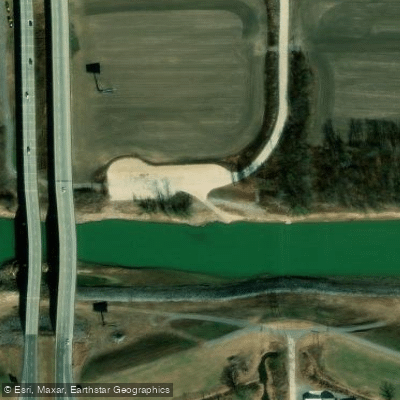
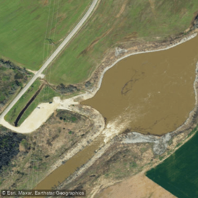
Learn how to get on Castor River Diversion Channel. Uncover great paddling access points, boat ramps, and all the facilities you need for an unforgettable day on the water. Some locations shown may border or include private property. Always check property boundaries and applicable regulations before visiting. PaddleWays's Public & Private Land layer can help you plan your access with confidence.
Paddle smarter with real-time insights
Whether you're en route and conditions shift or you're looking for the best spot based on current flows, we enable you to make informed decisions on the fly.








Find Places to Paddle

Over 400,000 Places to Paddle
Every user gets free access to launch points, boat ramps, and public property parcels.


Water and weather conditions (10 day forecast)
See the best times to paddle Castor River Diversion Channel and check the forecast before you go.
No forecast data available.
Paddling near Castor River Diversion Channel

Mississippi River

Ohio River
Crab Orchard Lake
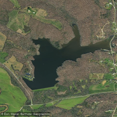
Lake Girardeau
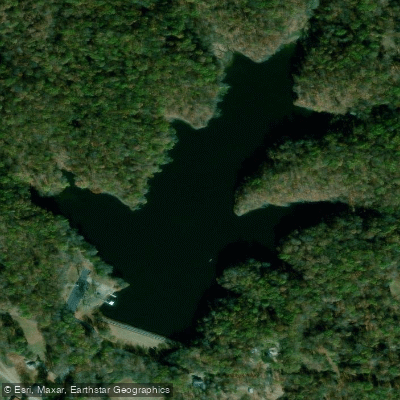
Lake Tywappity
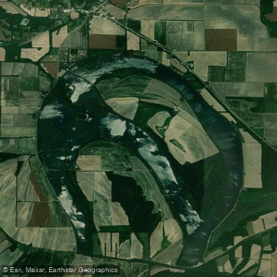
Horseshoe Lake
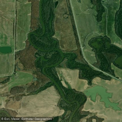
Big Muddy River
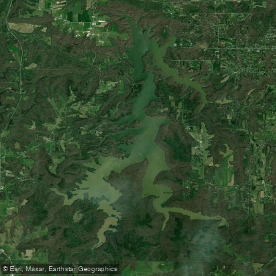
Cedar Lake
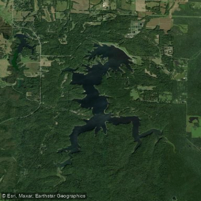
Little Grassy Lake
Explore Missouri waters
Top paddling waters
Popular Cities
Loading popular cities...
Explore near Castor River Diversion Channel
Access points
Nearby waters
More in Missouri

Smarter Paddling Starts in the App.
Paddleways gives you everything you need to plan smarter, paddle better, and own every trip from first launch to takeout.