Curated by PaddleWays
RouteFlatwater
- Distance
- 17.9 mi
- Paddle time
- ~6 hrs
- Best for
- Canoe
- Put-in → take-out
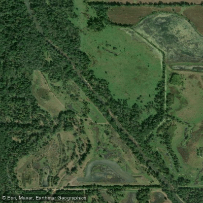
- Outlet Park Boat Ramp → Sharon Bluffs State Park Boat Ramp
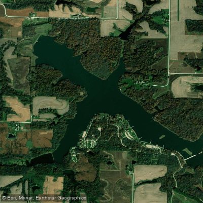
Dam below Rathbun Lake
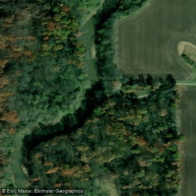
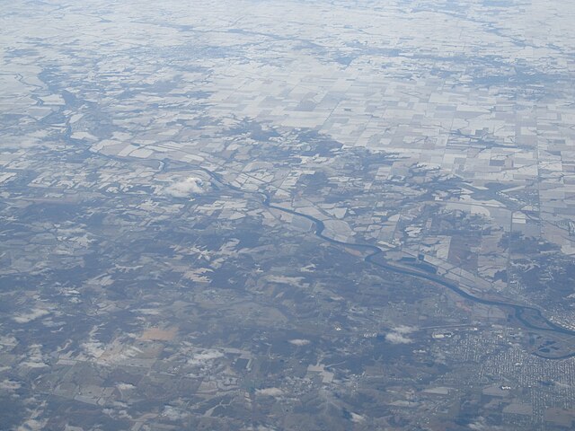
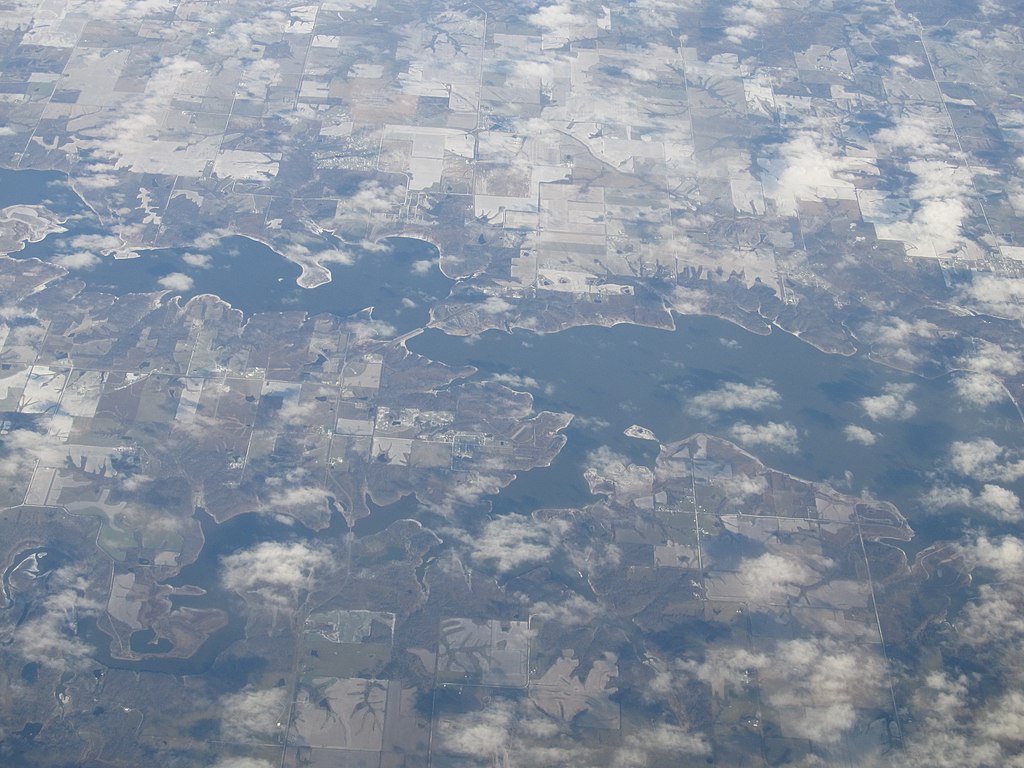
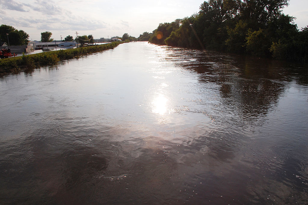
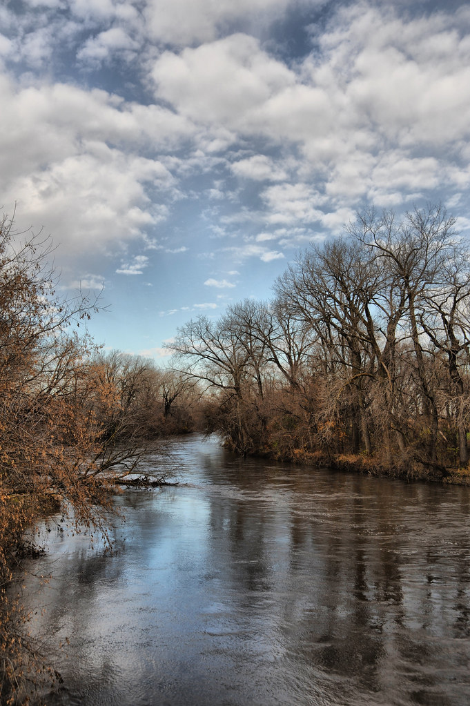
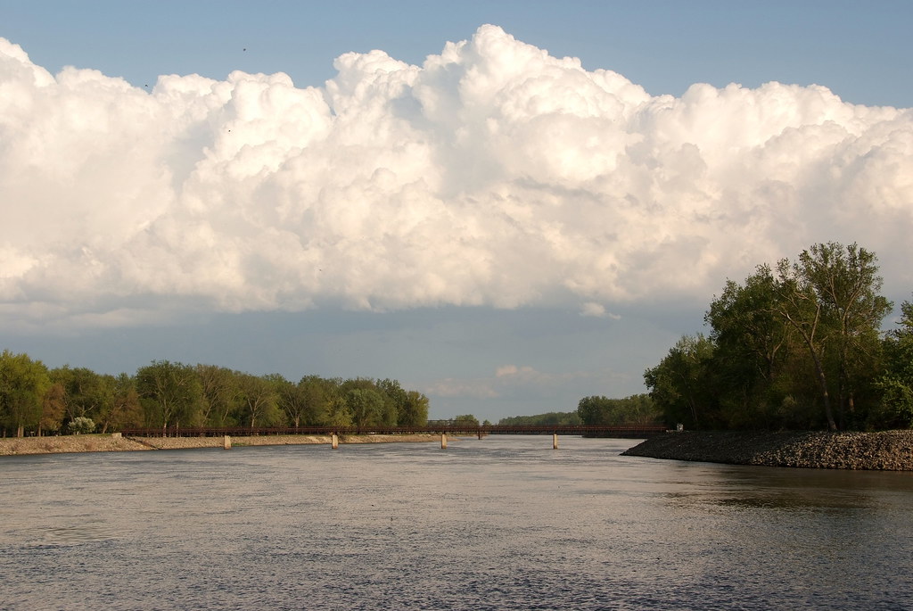
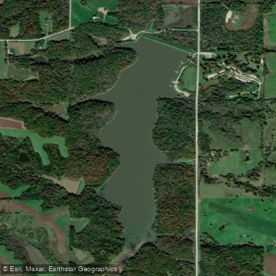
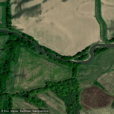
The Chariton River is a significant waterway that originates in southeastern Clarke County, Iowa, and flows southward for approximately 218 miles before joining the Missouri River near Keytesville, Missouri. This river forms an essential part of the Missouri River watershed, draining portions of southern Iowa and northern Missouri. Paddling opportunities on the Chariton River are diverse and appealing, with the most popular section being the 50-mile stretch from Rathbun Lake to the Iowa-Missouri border. The first 15 miles below Rathbun Lake Dam to Sharon Bluffs State Park offer the best canoeing experience, featuring largely unchannelized waters that wind through a picturesque landscape of timber, pasture, and cropland.
The river is primarily classified as flatwater, making it suitable for paddlers of various skill levels. However, water levels can fluctuate, and paddlers should check conditions before embarking, especially below Rathbun Lake where flow rates are controlled by the U.S. Army Corps of Engineers. The best paddling times are typically when water is being discharged from Rathbun Lake at a rate of 100 cubic feet per second or higher.
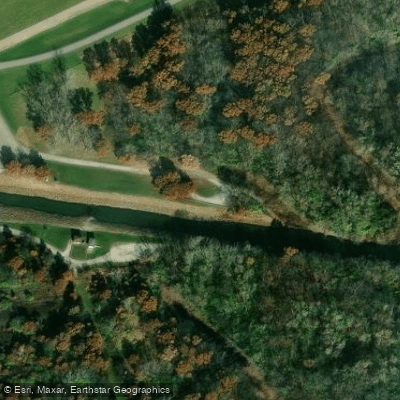
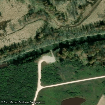
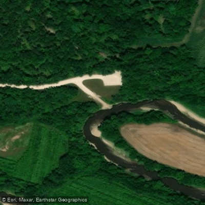
The Chariton River valley supports a rich ecosystem with diverse wildlife, including various bird species, deer, and small mammals. The wooded terrain along the river banks provides excellent opportunities for nature observation and photography. Key landmarks include Rathbun Lake, a popular recreational area, and Sharon Bluffs State Park, which offers camping and picnicking facilities. The river passes through or near several small towns in Iowa and Missouri, with notable Outlet Park below Rathbun Lake Dam and Sharon Bluffs State Park.
For those interested in multi-day trips, the full 50-mile stretch from Rathbun Lake to the Iowa-Missouri border offers an extended paddling adventure. Paddlers should be prepared for primitive camping along the route and should carry sufficient supplies. Safety considerations include checking water levels and weather forecasts before trips, wearing life jackets, and being aware of potential snags or logjams, especially in less maintained sections of the river. Paddlers should also be cautious when approaching the confluence with the Missouri River, as conditions can change rapidly.
The Chariton River played a role in the early settlement and agricultural development of the region, and paddling its waters offers a unique perspective on the rural landscapes of southern Iowa and northern Missouri. Whether embarking on a short day trip or a multi-day adventure, the Chariton River provides a serene and scenic paddling experience in the heart of the Midwest.
Curated routes
Hand-picked by the PaddleWays team, with put-ins, take-outs, paddle times and the hazards along the way.
RouteFlatwater
RouteFlatwater
Hazards
No paddler has reported a hazard here yet, so these are the dams, falls and big rapids on our map. Hazards change with flows and storms, so check them before you launch.
From the community
Nobody has shared a trip on Chariton River yet. Paddle it, then tell the next paddler how it went.
See exactly where the public can get on and off the river. Launch points and boat ramps are paired with PaddleWays' public land data so you know where you can legally land.
Public shoreline
22%of the river's shoreline is public
Most of the riverbank is private. Launch, land and camp only at public access points.
Flows, weather and a route-by-route verdict, so you know which stretch of the Chariton River is worth paddling today.
All Flow Stations
Live flows, marked hazards and fresh trip reports from paddlers who were just on the water, all in one place.





Every user gets free access to launch points, boat ramps, and public property parcels.
Loading popular cities...
PaddleWays gives you everything you need to plan smarter, paddle better, and own every trip from first launch to takeout.