Curated by PaddleWays
RouteFlatwater
- Distance
- 3 mi
- Paddle time
- ~1 hr
- Best for
- Canoe, SUP
- Put-in → take-out
- Weldon Springs Access → Weldon Spring Conservation Area Boat Ramp
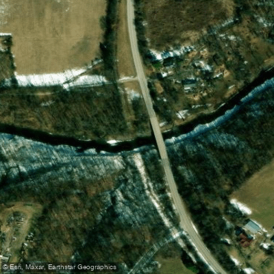
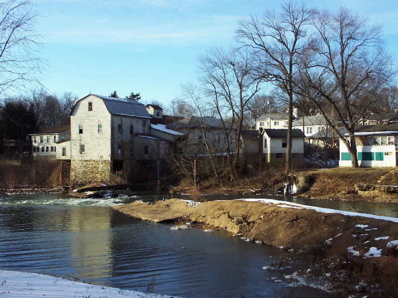
Femme Osage Creek Road Bridge crossing
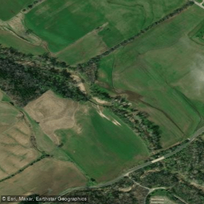
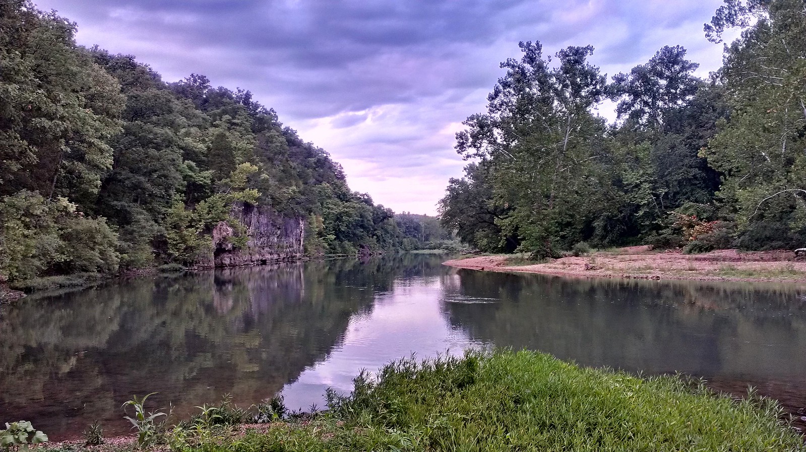
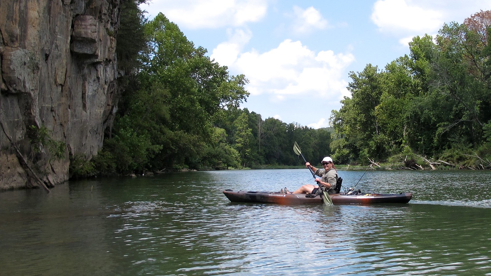
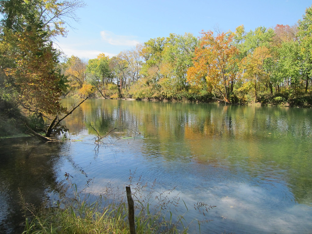
Femme Osage Creek is a scenic waterway located in eastern Missouri, flowing through St. Charles County before joining the Missouri River. This picturesque stream originates in the rolling hills west of Defiance and meanders eastward for approximately 15-20 miles before its confluence with the Missouri River near Weldon Spring. The creek offers peaceful flatwater paddling opportunities, ideal for canoeists and kayakers of all skill levels. While not known for whitewater, Femme Osage Creek provides a serene natural setting for leisurely floats and fishing excursions.
The main paddleable section runs about 1.75 miles from access points in the Weldon Spring Conservation Area to the Missouri River confluence. Water levels fluctuate seasonally, with spring typically offering the most reliable flows. During periods of backwater from the Missouri River, paddlers can enjoy longer stretches, sometimes accessing the full 1.75 miles to the confluence. Late summer and fall may see lower water levels, better suited for fishing or short paddling trips.
The creek's ecosystem supports a diverse array of wildlife. Paddlers may spot great blue herons, bald eagles, and various waterfowl along the shoreline. The waters teem with fish, including largemouth bass, blue catfish, and channel catfish, making it a popular destination for anglers.
Key landmarks include the Femme Osage Creek Road Bridge, which crosses a tributary of the creek. The nearby Katy Trail State Park offers additional recreational opportunities, with hiking and biking trails that complement a creek adventure. Primary access points are located within the Weldon Spring Conservation Area, providing convenient put-in spots for paddlers. The town of Defiance, known for its historic connections to Daniel Boone, serves as a nearby hub for visitors.
Femme Osage Creek holds historical significance, with its name derived from French, meaning Osage woman. The area was once frequented by Daniel Boone, who hunted and trapped along its banks. Today, the creek offers a glimpse into Missouri's natural beauty and pioneer history.
Safety considerations include checking water levels before paddling, as low water can make navigation challenging. Paddlers should also be aware of potential snags and fallen trees, especially after storms. While multi-day trips are not common on Femme Osage Creek itself, its proximity to the Missouri River and Katy Trail allows for extended outdoor adventures combining paddling, hiking, and cycling in the surrounding area.
Curated routes
Hand-picked by the PaddleWays team, with put-ins, take-outs, paddle times and the hazards along the way.
RouteFlatwater
Hazards
No hazards are marked on Femme Osage Creek yet. That is not the same as none being there: if you find one, report it for the next paddler.
From the community
Nobody has shared a trip on Femme Osage Creek yet. Paddle it, then tell the next paddler how it went.
See exactly where the public can get on and off the river. Launch points and boat ramps are paired with PaddleWays' public land data so you know where you can legally land.
Public shoreline
0%of the river's shoreline is public
Most of the riverbank is private. Launch, land and camp only at public access points.
Flows, weather and a route-by-route verdict, so you know which stretch of the Femme Osage Creek is worth paddling today.
No forecast data available.
Live flows, marked hazards and fresh trip reports from paddlers who were just on the water, all in one place.





Every user gets free access to launch points, boat ramps, and public property parcels.

Loading popular cities...
PaddleWays gives you everything you need to plan smarter, paddle better, and own every trip from first launch to takeout.