Sinking Creek
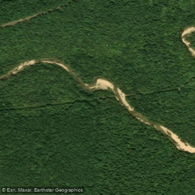
Sinking Creek
- Boat Ramps
- 0
- Access Points
- 0
- Campsites
- 3
Sinking Creek flows through the heart of the Missouri Ozarks in Shannon, Dent, and Reynolds Counties, earning its name from its characteristic behavior as a losing stream that disappears underground along portions of its course before reemerging. The creek originates in western Reynolds County near Missouri Route 72 and flows generally southward through southeastern Dent County before entering northeastern Shannon County, where it joins the Current River approximately 0.7 miles north of Round Spring at an elevation of roughly 520 feet. The creek's most distinctive feature is its journey through Echo Bluff State Park, where it has carved a dramatic landscape including the park's namesake Echo Bluff towering over the water. The creek maintains remarkably clear, spring-fed water with temperatures typically ranging from 55-60°F year-round, creating ideal habitat for aquatic life. Approximately 1.9 miles of the lower section comprises the Pulltite Springs Complex, where numerous springs contribute an estimated 77-88 cubic feet per second during low-flow conditions.
Paddling opportunities on Sinking Creek vary considerably with water levels. The upper sections require recent rainfall to be navigable, with Class I-II rapids developing during higher flows. A unique feature exists in the upper drainage where the creek flows through approximately 150 feet of cave passage beneath a bluff—a remarkable tunnel that becomes impassable when water levels rise too high, creating a swirling vortex at the entrance. This section demands precise timing and is suitable only for experienced paddlers comfortable with confined spaces. The lower reaches near Echo Bluff State Park offer more consistent paddling conditions, with the creek accessible from the park's facilities. The final stretch before the Current River confluence provides gentle water ideal for beginners and families, particularly during summer months when creek-sitting in the shallow, sun-warmed waters becomes a popular pastime. Spring through early summer typically provides optimal paddling conditions, though the creek's flow can diminish significantly during dry periods.
The surrounding Mark Twain National Forest provides habitat for white-tailed deer, wild turkey, and occasionally the wild horses of Shannon County that may be spotted crossing between watersheds.
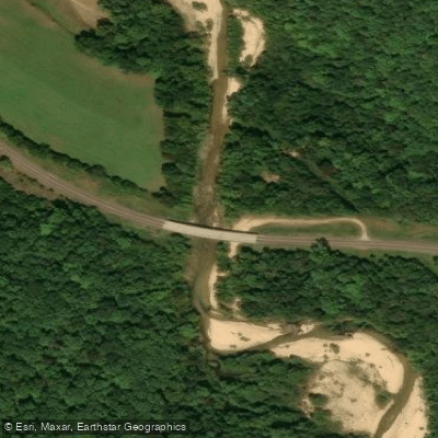
Access points include the state park facilities off Highway 19 between Salem and Eminence, with additional put-ins at various road crossings along County Roads. The nearest substantial towns are Eminence (population 548) and Salem to the north. The creek's karst geology creates numerous sinkholes and underground drainage features that have shaped both the landscape and local history.
Safety considerations include the potential for flash flooding in the narrow valley, cold water temperatures even in summer, and the technical challenges of the cave section in the upper watershed. The lower sections within Ozark National Scenic Riverways fall under National Park Service regulations.
Water access, boat ramps & amenities
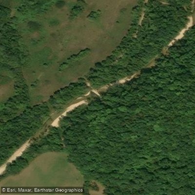
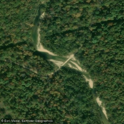
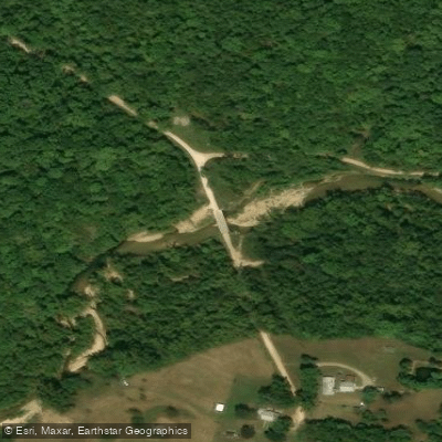
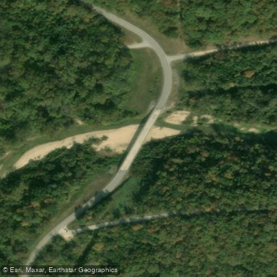
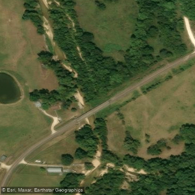
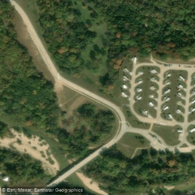
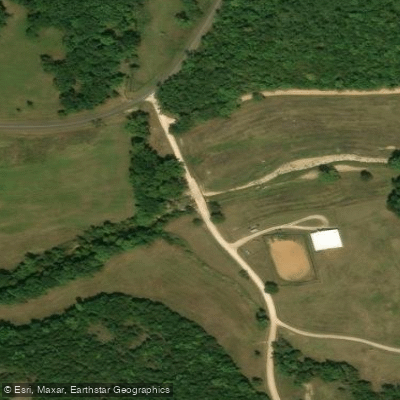
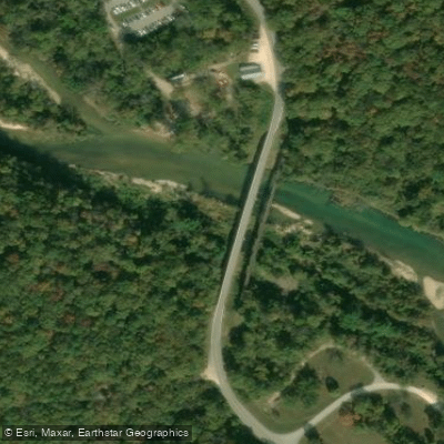
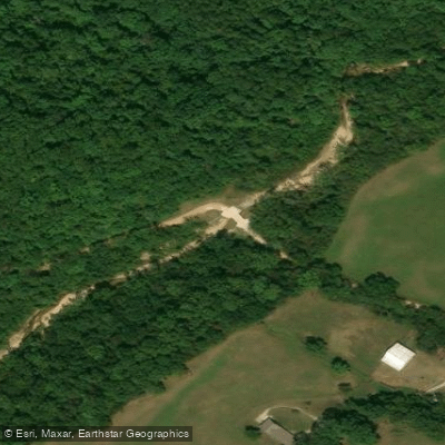
Learn how to get on Sinking Creek. Uncover great paddling access points, boat ramps, and all the facilities you need for an unforgettable day on the water. Some locations shown may border or include private property. Always check property boundaries and applicable regulations before visiting. PaddleWays's Public & Private Land layer can help you plan your access with confidence.
Paddle smarter with real-time insights
Whether you're en route and conditions shift or you're looking for the best spot based on current flows, we enable you to make informed decisions on the fly.








Find Places to Paddle

Over 400,000 Places to Paddle
Every user gets free access to launch points, boat ramps, and public property parcels.


Water and weather conditions (10 day forecast)
See the best times to paddle Sinking Creek and check the forecast before you go.
No forecast data available.
Paddling near Sinking Creek
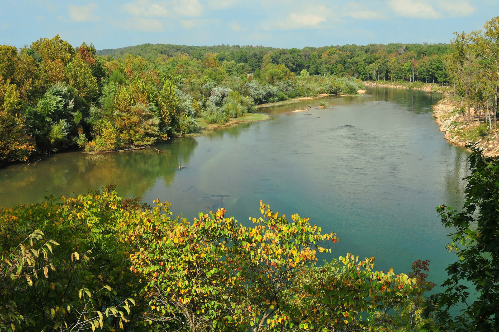
Current River
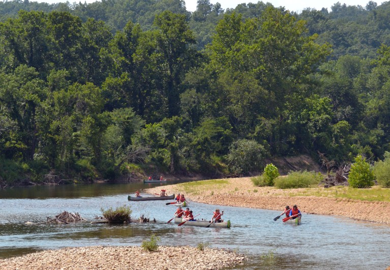
Black River
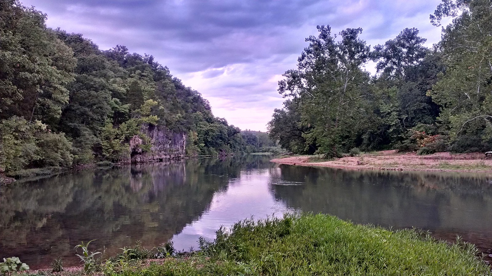
Meramec River
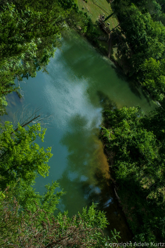
Spring River
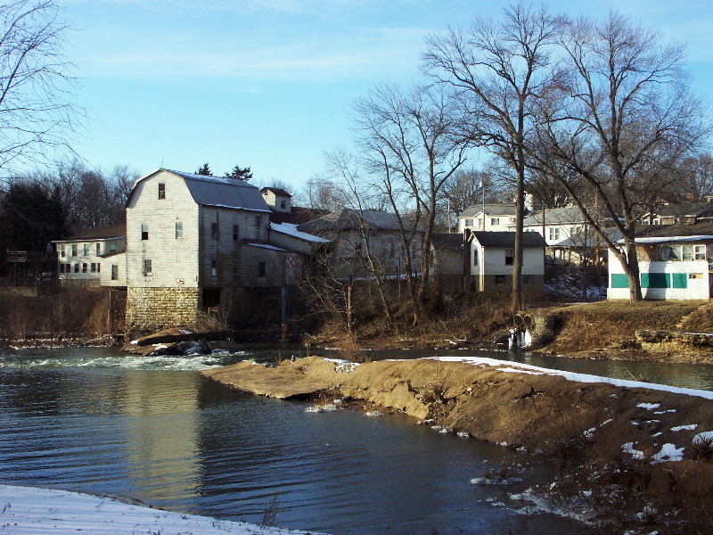
Big River
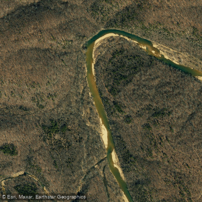
Jacks Fork
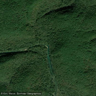
Eleven Point River
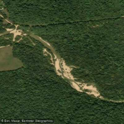
West Fork Black River
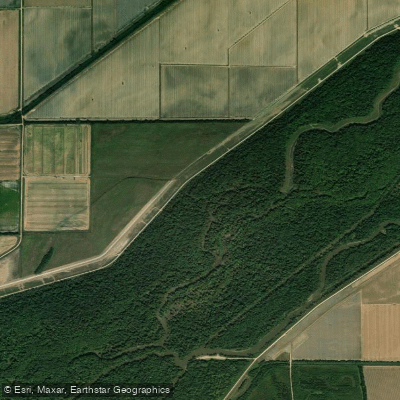
Saint Francis River
Explore Missouri waters
Top paddling waters
Popular Cities
Loading popular cities...
Explore near Sinking Creek
Access points
Nearby waters
More in Missouri

Smarter Paddling Starts in the App.
Paddleways gives you everything you need to plan smarter, paddle better, and own every trip from first launch to takeout.