Little Pine Creek
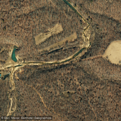
Little Pine Creek
- Boat Ramps
- 0
- Access Points
- 0
- Campsites
- 0
Little Pine Creek originates in Howell County, Missouri, flowing southeastward into Texas County before joining the South Prong of Jacks Fork. This tributary system drains a portion of the Ozark Plateau characterized by karst topography, with springs, caves, and losing stream segments common throughout the watershed. The creek is fed by the largest spring in Howell County, which emerges near the headwaters and provides consistent cold-water flow even during dry periods. This spring influence creates distinctive aquatic habitat, with water temperatures remaining relatively stable year-round compared to surface-fed streams in the region. The creek's channel cuts through cherty limestone and dolomite formations typical of the Salem Plateau subdivision, creating a substrate of gravel, cobble, and exposed bedrock in many reaches.
Little Pine Creek flows through heavily forested terrain dominated by oak-pine woodlands on the uplands and mixed hardwoods along the riparian corridor. The watershed remains largely undeveloped, with the Mark Twain National Forest encompassing significant acreage in the drainage area. This forested cover contributes to relatively stable water quality and provides habitat for wildlife including white-tailed deer, wild turkey, and various songbird species.
The stream supports a typical Ozark aquatic community adapted to clear, cool waters. Smallmouth bass inhabit deeper pools, while various darter species occupy riffle habitats. The spring-fed nature of the system may support species requiring cooler temperatures, though specific fish community data for this creek is limited in available documentation.
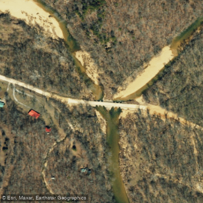
Access to Little Pine Creek is constrained by its relatively small size and remote location. The creek flows through rugged terrain with limited road crossings, and no developed public access points are documented specifically for this waterway. The nearest communities providing services are Houston in Texas County and West Plains in Howell County, both located several miles from the creek itself. Land ownership patterns include both Mark Twain National Forest holdings and private property, requiring permission for access across private lands. The primitive nature of the watershed means paddling opportunities are extremely limited or non-existent due to insufficient water volume, shallow depths, and potential obstructions including fallen trees and low-water bridges.
The creek's primary significance lies in its contribution to the Jacks Fork watershed, which eventually flows into the Current River system. As a headwater tributary, Little Pine Creek plays an important role in maintaining water quality and providing spawning and nursery habitat for fish populations in the larger Jacks Fork drainage.
Water access, boat ramps & amenities
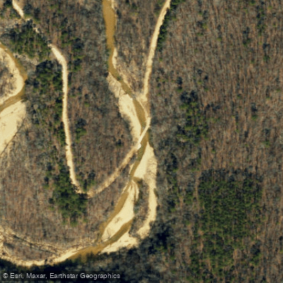
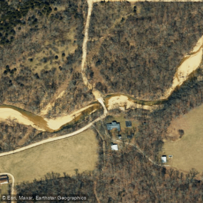
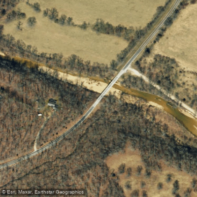
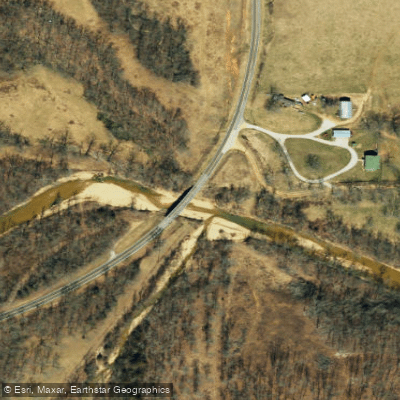
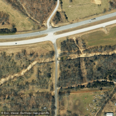
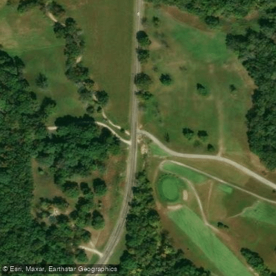
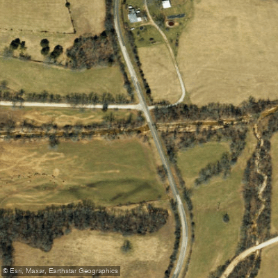
Learn how to get on Little Pine Creek. Uncover great paddling access points, boat ramps, and all the facilities you need for an unforgettable day on the water. Some locations shown may border or include private property. Always check property boundaries and applicable regulations before visiting. PaddleWays's Public & Private Land layer can help you plan your access with confidence.
Paddle smarter with real-time insights
Whether you're en route and conditions shift or you're looking for the best spot based on current flows, we enable you to make informed decisions on the fly.








Find Places to Paddle

Over 400,000 Places to Paddle
Every user gets free access to launch points, boat ramps, and public property parcels.


Water and weather conditions (10 day forecast)
See the best times to paddle Little Pine Creek and check the forecast before you go.
No forecast data available.
Paddling near Little Pine Creek
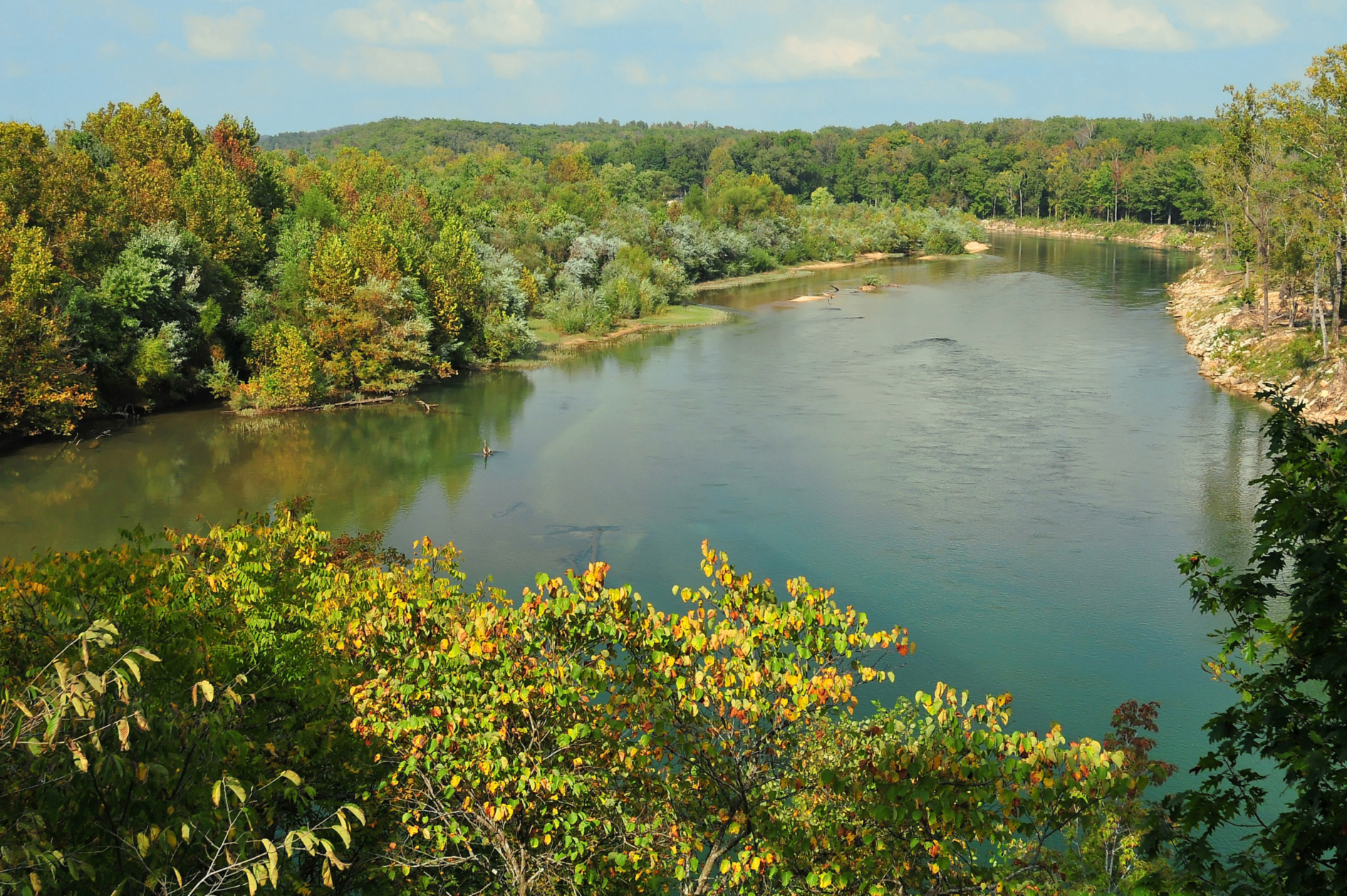
Current River
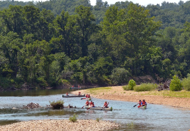
Black River
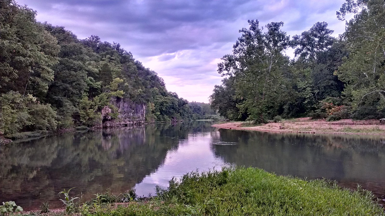
Meramec River
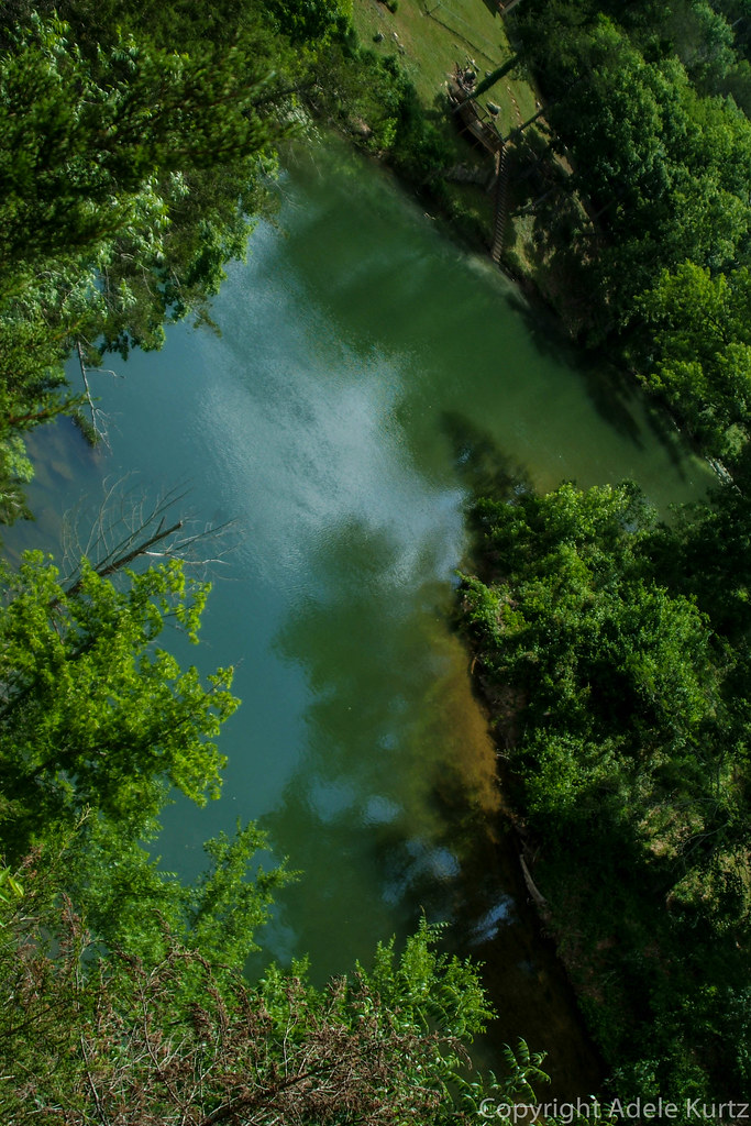
Spring River
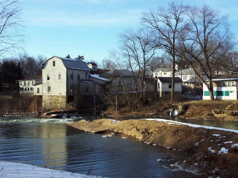
Big River
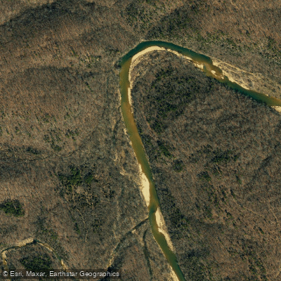
Jacks Fork
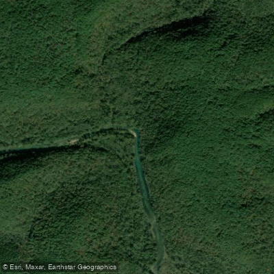
Eleven Point River
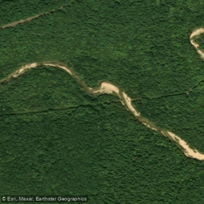
Sinking Creek
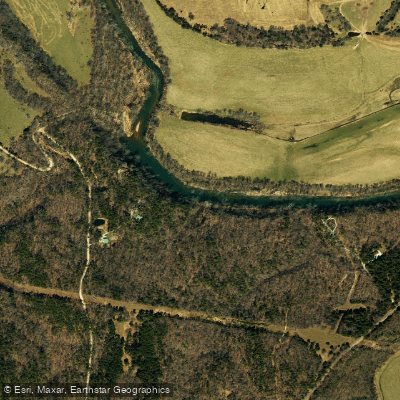
Big Piney River
Explore Missouri waters
Top paddling waters
Popular Cities
Loading popular cities...
Explore near Little Pine Creek
Access points
Nearby waters
More in Missouri

Smarter Paddling Starts in the App.
Paddleways gives you everything you need to plan smarter, paddle better, and own every trip from first launch to takeout.