Lake Springfield
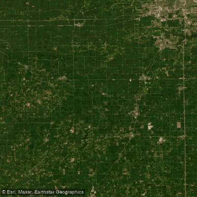
Lake Springfield
- Boat Ramps
- 7
- Access Points
- 16
- Campsites
- 0
Lake Springfield Lake Springfield is a 4,200-acre reservoir on the southeast edge of Springfield, Illinois, with about 57 miles of shoreline. Built in the 1930s by damming Sugar Creek, it provides drinking water and power-plant cooling for the city while also serving as one of central Illinois’ most popular recreation areas. The lake is ringed by public parks, boat launches, and more than 700 private homes and docks. Visitors come for boating, sailing, fishing, and picnicking, with largemouth bass, catfish, crappie, and bluegill among the most sought-after fish. Designated areas allow swimming and no-wake boating..
Water access, boat ramps & amenities
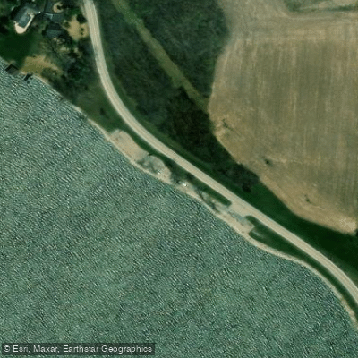
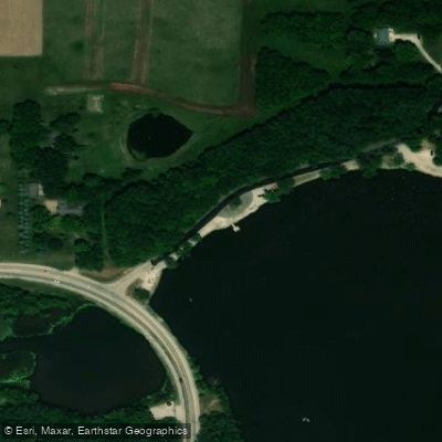
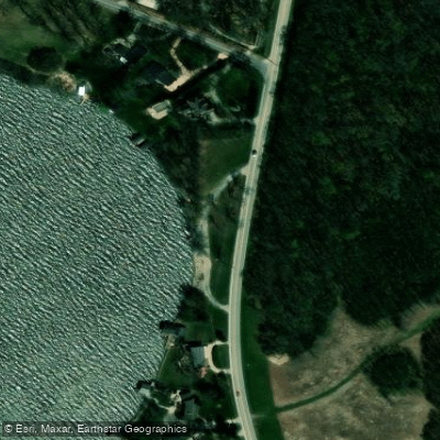
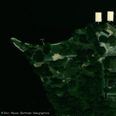
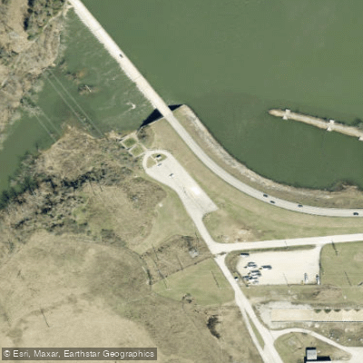
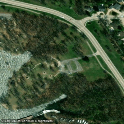
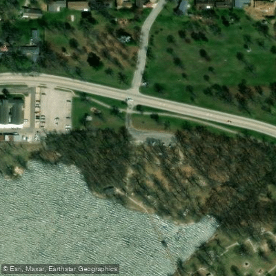
Learn how to get on Lake Springfield. Uncover great paddling access points, boat ramps, and all the facilities you need for an unforgettable day on the water. Some locations shown may border or include private property. Always check property boundaries and applicable regulations before visiting. PaddleWays's Public & Private Land layer can help you plan your access with confidence.
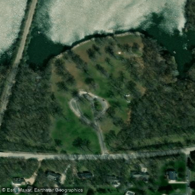
Paddle smarter with real-time insights
Whether you're en route and conditions shift or you're looking for the best spot based on current flows, we enable you to make informed decisions on the fly.








Find Places to Paddle

Over 400,000 Places to Paddle
Every user gets free access to launch points, boat ramps, and public property parcels.


Water and weather conditions (10 day forecast)
See the best times to paddle Lake Springfield and check the forecast before you go.
SUGAR CREEK AT LAKE SPRINGFIELD, IL
Paddling near Lake Springfield
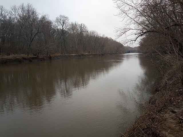
Sangamon River
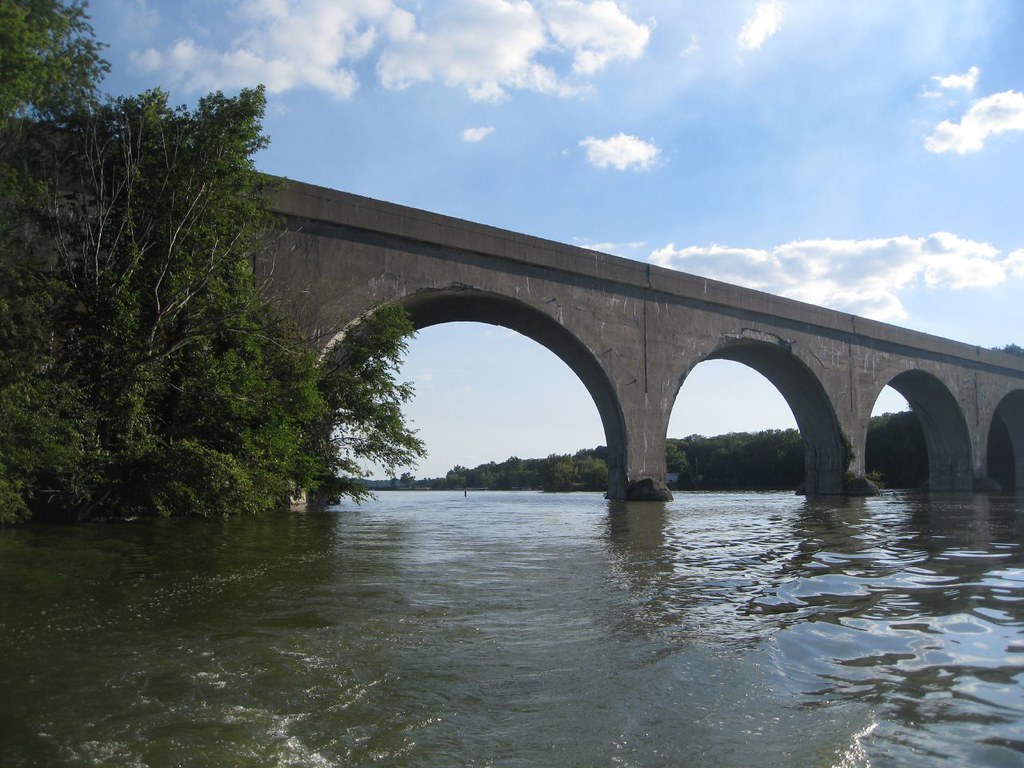
Lake Decatur
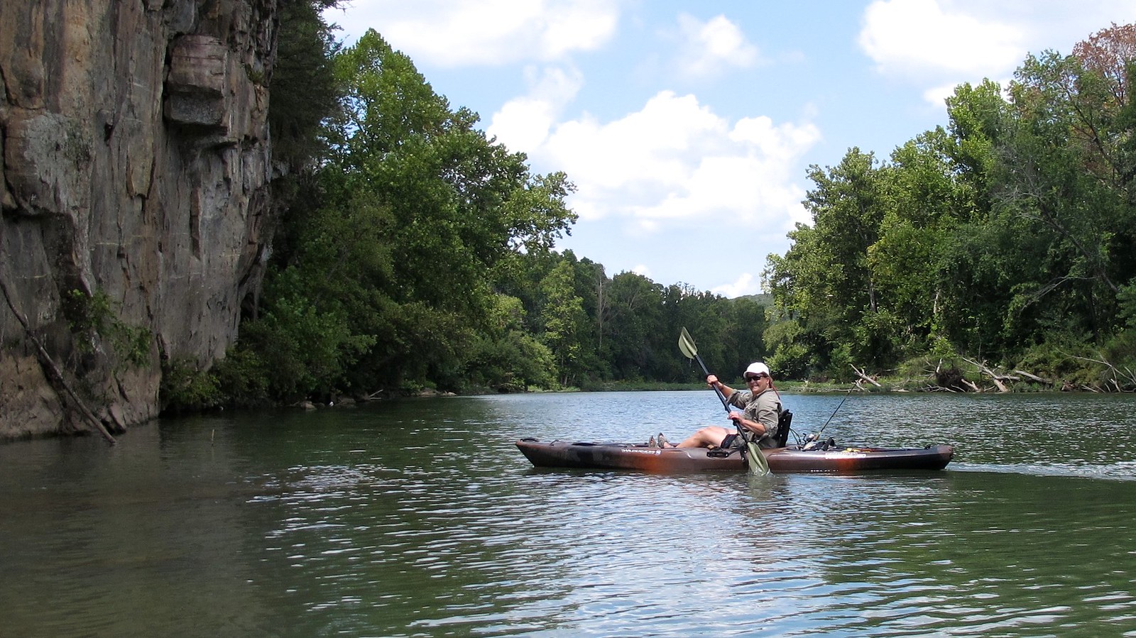
Illinois River
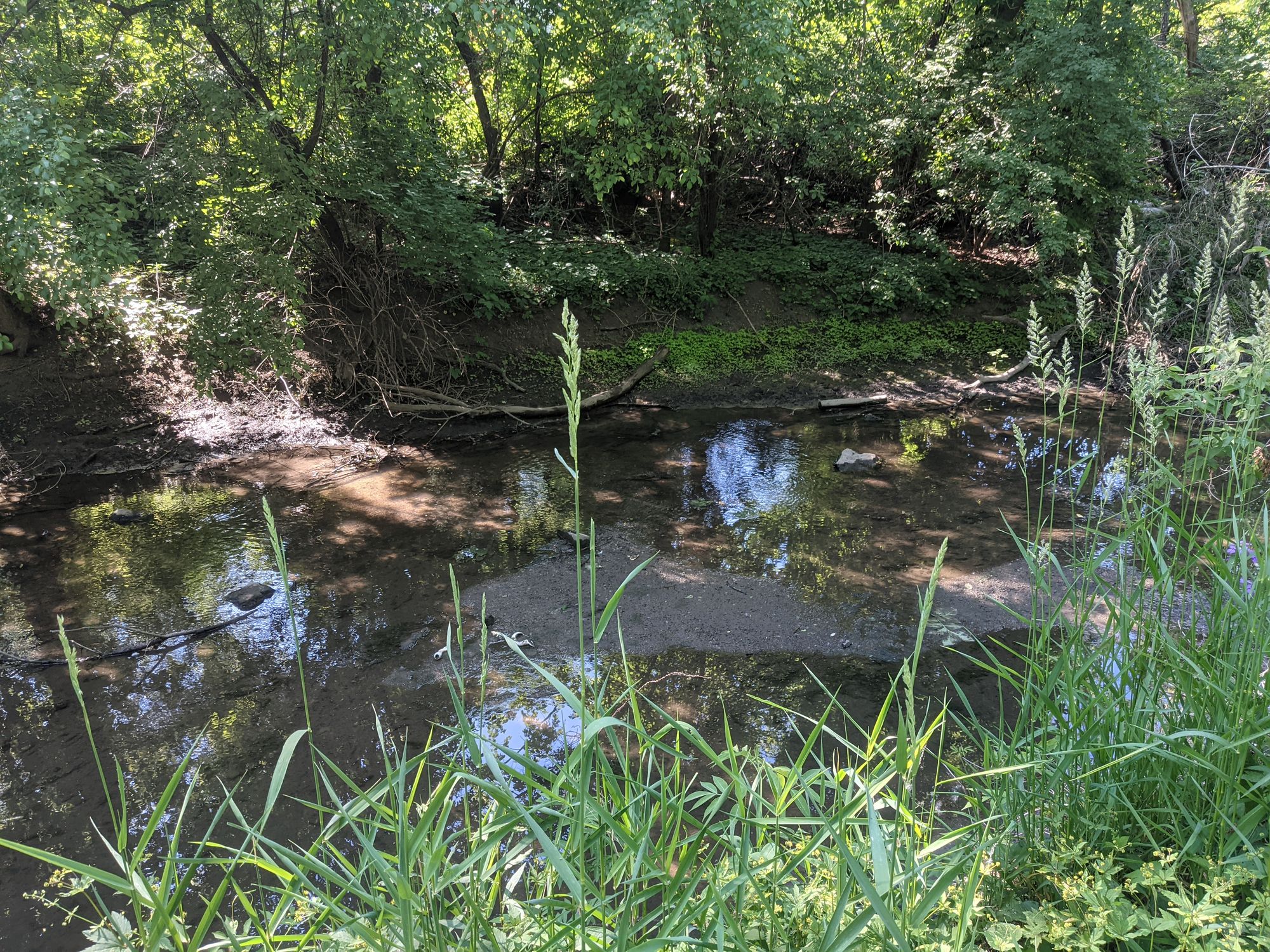
Salt Creek
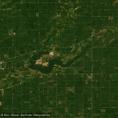
Lake Clinton
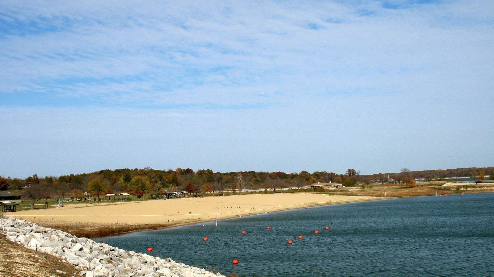
Lake Shelbyville
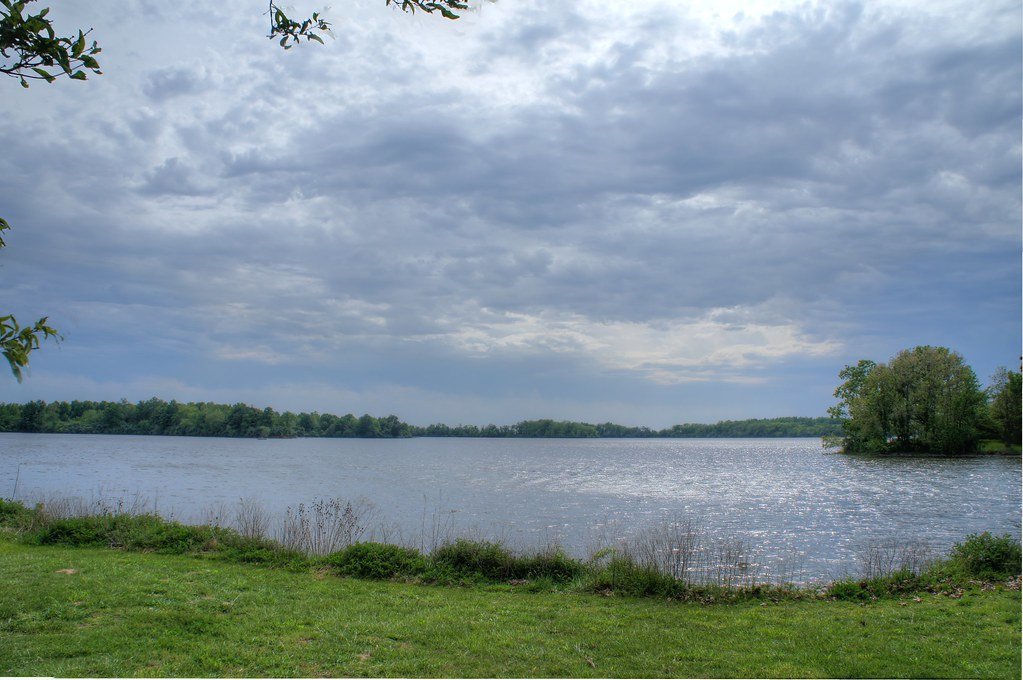
Sangchris Lake
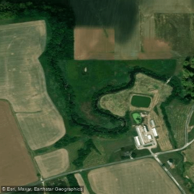
Sugar Creek
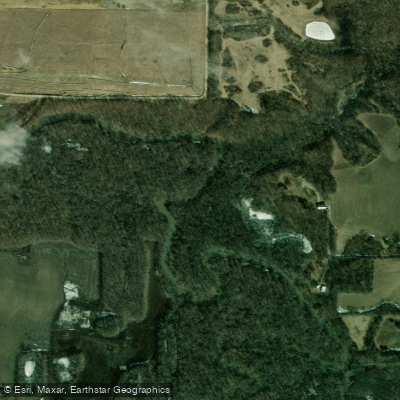
South Fork Sangamon River
Explore Missouri waters
Top paddling waters
Popular Cities
Loading popular cities...
Explore near Lake Springfield
Access points
Nearby waters
More in Missouri

Smarter Paddling Starts in the App.
Paddleways gives you everything you need to plan smarter, paddle better, and own every trip from first launch to takeout.