West Fork Black River
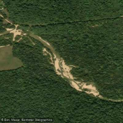
West Fork Black River
- Boat Ramps
- 1
- Access Points
- 2
- Campsites
- 1
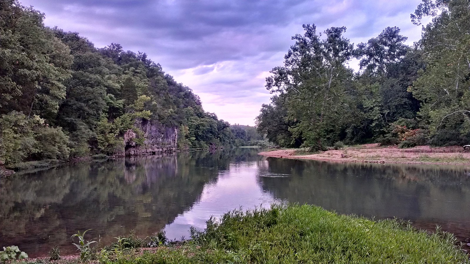
The West Fork Black River originates in the Ozark highlands of southeast Missouri, flowing generally southeast before joining the Middle Fork to form the main stem of the Black River. This scenic waterway winds through the rugged landscape of Reynolds and Iron counties, carving a path through forested hills and rocky outcrops characteristic of the region. Paddlers can experience a range of conditions on the West Fork, from placid pools to swift riffles and occasional Class II rapids, especially during higher water levels.
The river offers several distinct sections suitable for day trips or multi-day adventures. The upper reaches from State Highway 21 Bridge above Centerville to the Middle Fork confluence provide a more remote and challenging experience, while the lower sections offer easier floating conditions ideal for families and beginners. A popular 25-mile float trip runs from the Lesterville Access to the Highway K Bridge near Annapolis. This stretch features a mix of calm water and occasional riffles, showcasing the natural beauty of the Ozarks with minimal development along the banks. Paddlers should be aware that the Lesterville put-in has experienced changes in recent years due to the river shifting course, potentially requiring a short portage to reach the main flow.
The West Fork is best paddled in spring or after periods of rainfall when water levels are sufficient. Summer can bring low water conditions, necessitating occasional dragging in shallower sections. The river corridor supports a diverse ecosystem, with opportunities to spot wildlife such as deer, turkey, and various bird species among the towering pines and hardwoods lining the shores.
Key access points include the State Highway 21 Bridge, Lesterville Access, and Highway K Bridge, all within a short drive of small Ozark communities. Camping is possible at designated sites along the river, including areas near Highway K Bridge where a small spring adds to the rustic appeal. Paddlers should be prepared for the relative remoteness of the area, bring appropriate safety gear, and check water levels before their trip. The West Fork Black River offers a quintessential Ozark floating experience, combining natural beauty, mild whitewater, and a sense of wilderness that has drawn outdoor enthusiasts for generations.
Water access, boat ramps & amenities
Learn how to get on West Fork Black River. Uncover great paddling access points, boat ramps, and all the facilities you need for an unforgettable day on the water. Some locations shown may border or include private property. Always check property boundaries and applicable regulations before visiting. PaddleWays's Public & Private Land layer can help you plan your access with confidence.
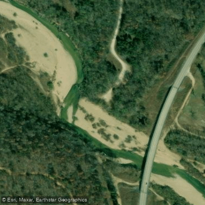
Paddle smarter with real-time insights
Whether you're en route and conditions shift or you're looking for the best spot based on current flows, we enable you to make informed decisions on the fly.








Find Places to Paddle

Over 400,000 Places to Paddle
Every user gets free access to launch points, boat ramps, and public property parcels.


Water and weather conditions (10 day forecast)
See the best times to paddle West Fork Black River and check the forecast before you go.
No forecast data available.
Paddling near West Fork Black River
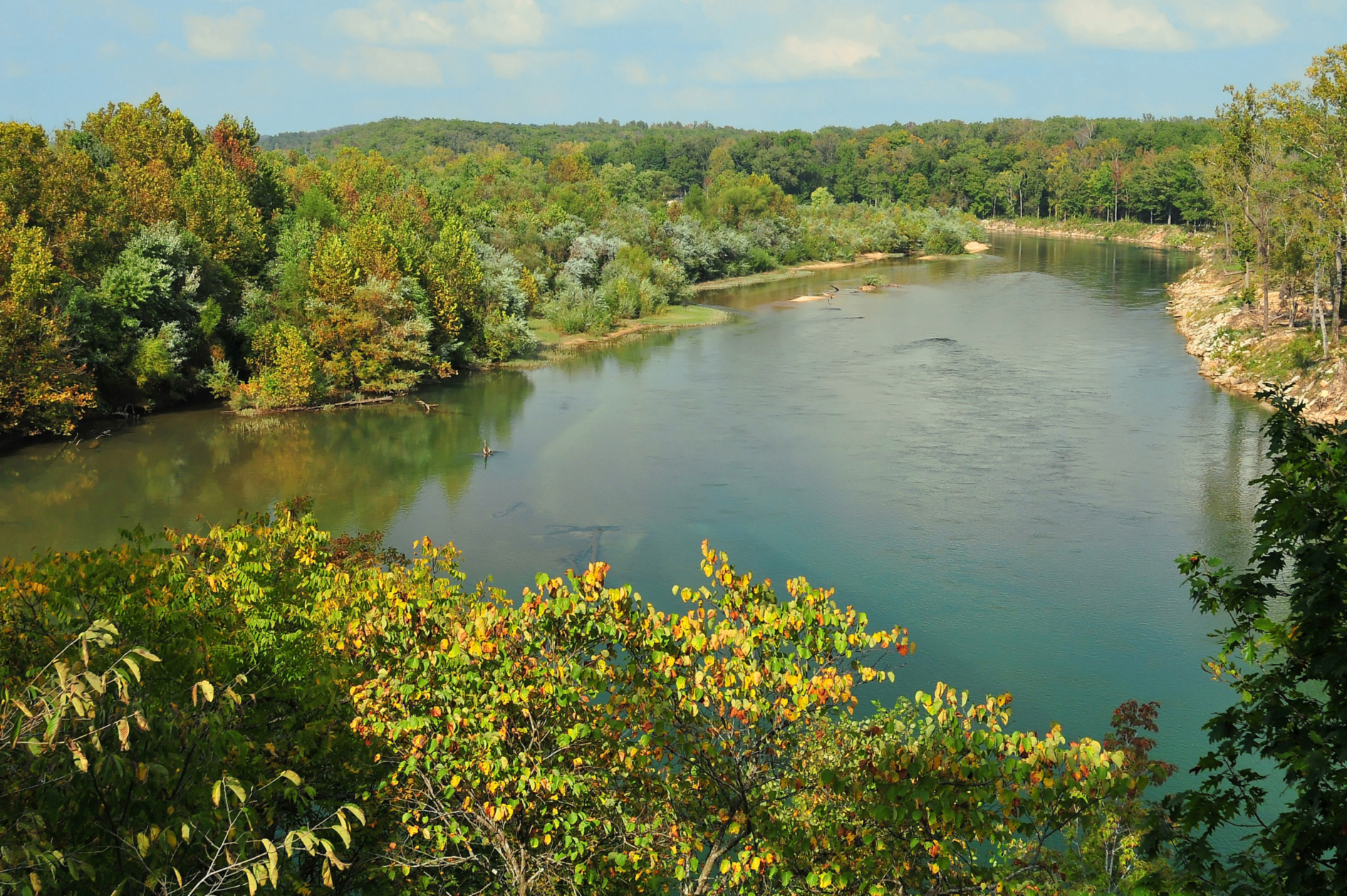
Current River
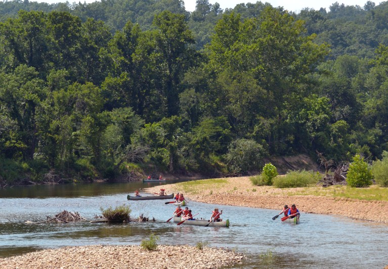
Black River
Meramec River
Spring River
Big River
Jacks Fork
Eleven Point River
Sinking Creek
Saint Francis River
Explore Missouri waters
Top paddling waters
Popular Cities
Loading popular cities...
Explore near West Fork Black River
Access points
Nearby waters
More in Missouri

Smarter Paddling Starts in the App.
Paddleways gives you everything you need to plan smarter, paddle better, and own every trip from first launch to takeout.