Amargosa River
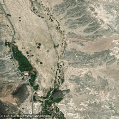
Amargosa River
- Boat Ramps
- 0
- Access Points
- 0
- Campsites
- 2
The Amargosa River, often called the "Crown Jewel of the Mojave Desert," is a unique and vital waterway that flows through the arid landscapes of southern Nevada and eastern California. This 185-mile long river is primarily underground, surfacing only in a few key areas, making it a critical lifeline for the desert ecosystem and a fascinating subject for explorers and nature enthusiasts.
The river begins its journey in the Oasis Valley north of Beatty, Nevada, flowing south into California before making a dramatic U-turn north into Death Valley National Park. While mostly subterranean, the Amargosa surfaces in two main areas: near Beatty, Nevada, and in the Amargosa Canyon near Tecopa, California. These surface flows create rare and lush riparian habitats in the midst of the harsh Mojave Desert.
Paddling opportunities on the Amargosa River are extremely limited and unconventional. The river's intermittent nature means that traditional kayaking or canoeing is only possible during rare flood events. In October 2015, during an exceptional high-water period, adventurous paddlers were able to navigate the section from Shoshone to Tecopa in inflatable dinghies. However, such opportunities are extremely rare and unpredictable.
Instead of paddling, the Amargosa River is best explored on foot through hiking trails that follow its course. The Amargosa Canyon Trail, accessible from China Ranch Date Farm near Tecopa, offers a 9.1-mile out-and-back hike that showcases the river's beauty and ecological importance. This trail is considered moderately difficult and is best attempted between November and May to avoid extreme desert heat.
The river's ecosystem supports a diverse array of flora and fauna, including rare and endangered species. The Amargosa vole, Amargosa pupfish, and Amargosa speckled dace are among the unique species that depend on the river's waters. The riparian areas also provide crucial habitat for migratory birds, making it a popular spot for birdwatching.
Notable landmarks along the Amargosa River include the China Ranch Date Farm, a verdant oasis that offers a stark contrast to the surrounding desert, and the Amargosa Opera House in Death Valley Junction, a quirky cultural landmark. The river also passes through the Ash Meadows National Wildlife Refuge, home to a remarkable concentration of endemic species.
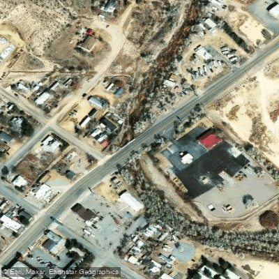
Access points to explore the Amargosa River include Beatty in Nevada, and Shoshone, Tecopa, and China Ranch in California. These small desert towns serve as gateways to the river and offer basic amenities for visitors.
Historically, the Amargosa River played a crucial role in supporting Native American communities and later became important for miners and settlers in the region. Today, a 26-mile stretch of the river is designated as a Wild and Scenic River, highlighting its ecological and recreational significance.
Visitors should be aware of the extreme desert conditions when exploring the Amargosa River area. Proper preparation, including carrying ample water, sun protection, and being aware of flash flood risks, is essential. The best times to visit are during the cooler months from late fall to early spring. While multi-day paddling trips are not feasible on the Amargosa, hikers can explore various sections of the river over multiple days, staying in nearby towns or campgrounds. The Amargosa River Trail, following an old railroad right-of-way, offers an extended hiking experience through this unique desert ecosystem.
The Amargosa River, with its hidden flows and rare surface appearances, embodies the resilience and hidden beauty of the Mojave Desert. It serves as a critical water source for the region's wildlife and offers visitors a chance to experience one of the most unique river systems in the United States.
Water access, boat ramps & amenities
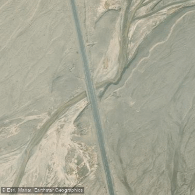
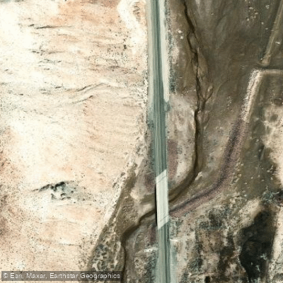
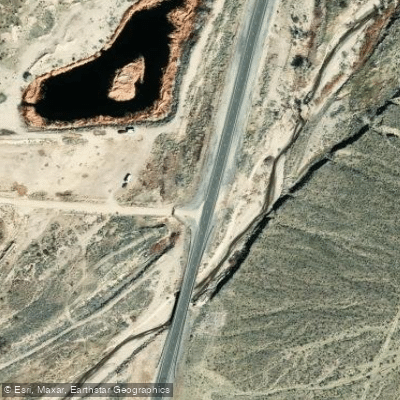
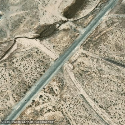
Learn how to get on Amargosa River. Uncover great paddling access points, boat ramps, and all the facilities you need for an unforgettable day on the water. Some locations shown may border or include private property. Always check property boundaries and applicable regulations before visiting. PaddleWays's Public & Private Land layer can help you plan your access with confidence.
Paddle smarter with real-time insights
Whether you're en route and conditions shift or you're looking for the best spot based on current flows, we enable you to make informed decisions on the fly.








Find Places to Paddle

Over 400,000 Places to Paddle
Every user gets free access to launch points, boat ramps, and public property parcels.


Water and weather conditions (10 day forecast)
See the best times to paddle Amargosa River and check the forecast before you go.
AMARGOSA RV AT HWY 127 NR CA-NV STATE LINE
All Flow Stations
Paddling near Amargosa River
Clear Lake
Shasta Lake

San Joaquin River
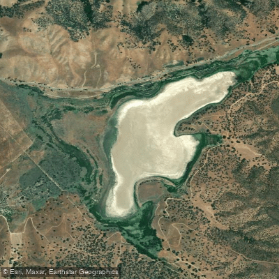
Castac Lake
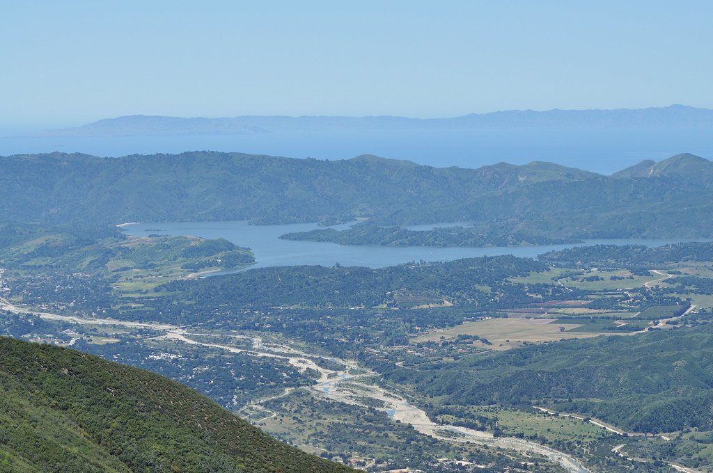
Lake Casitas
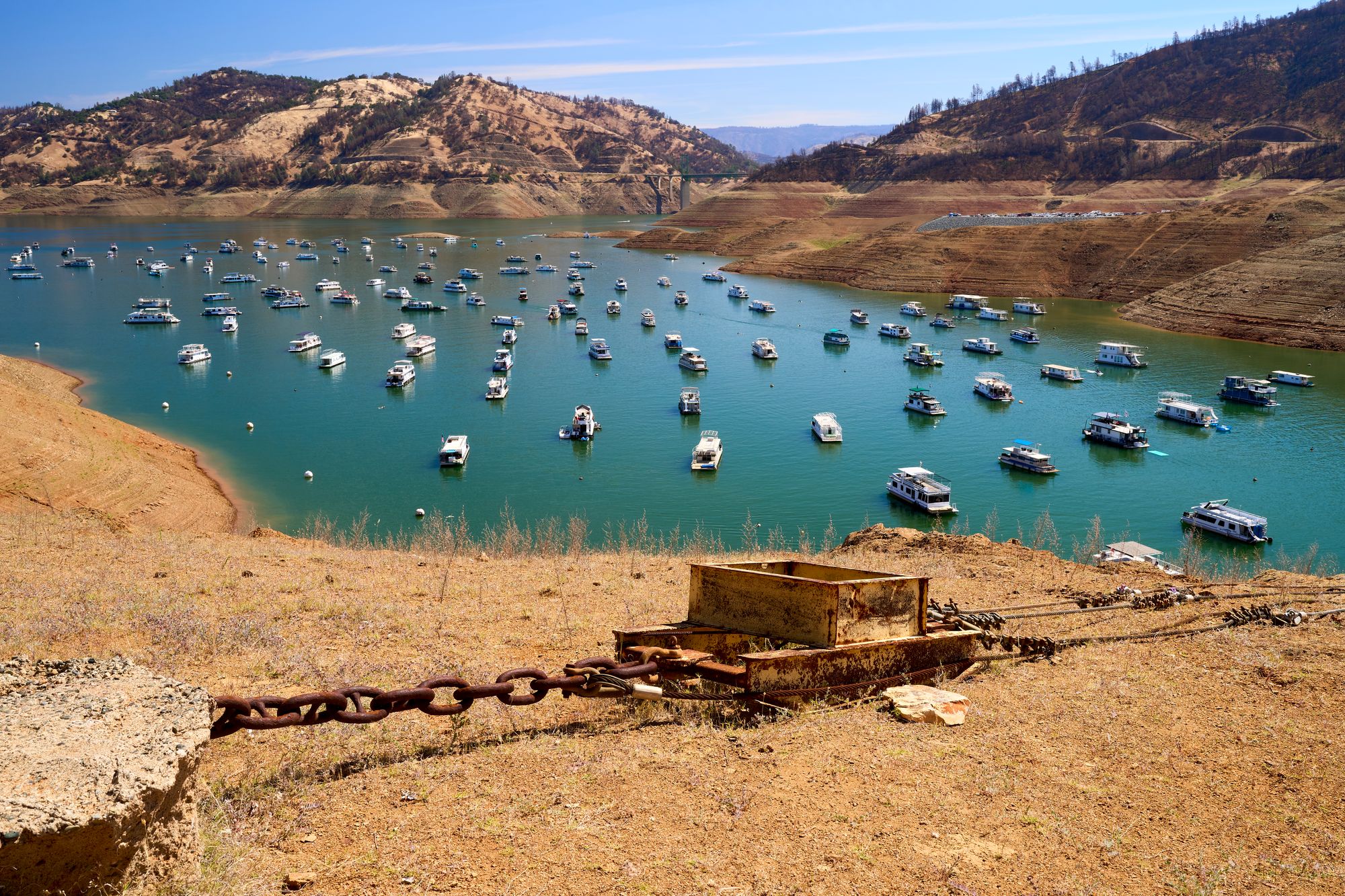
Lake Oroville
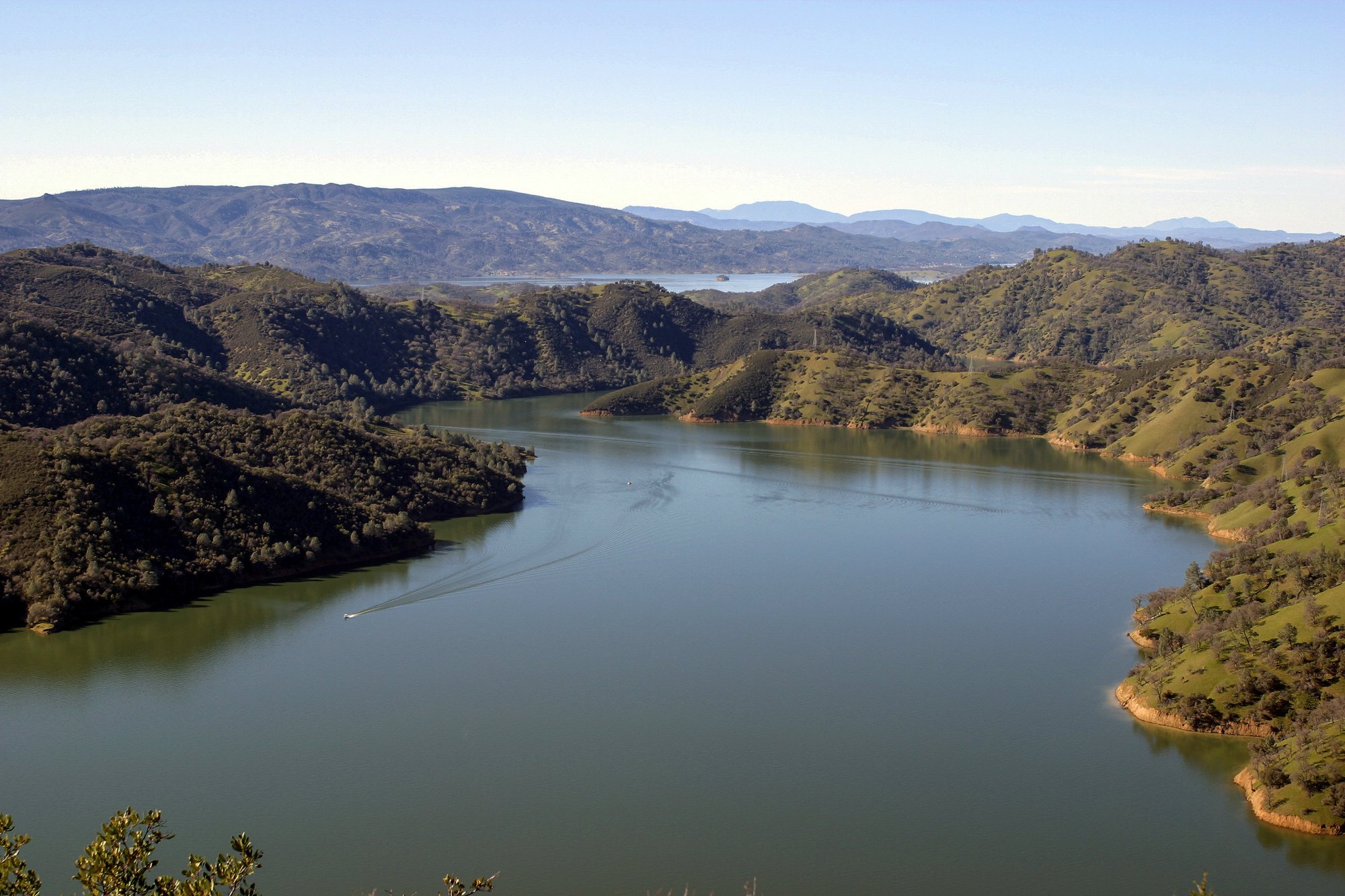
Lake Berryessa
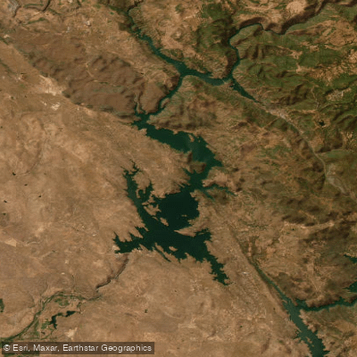
Don Pedro Reservoir
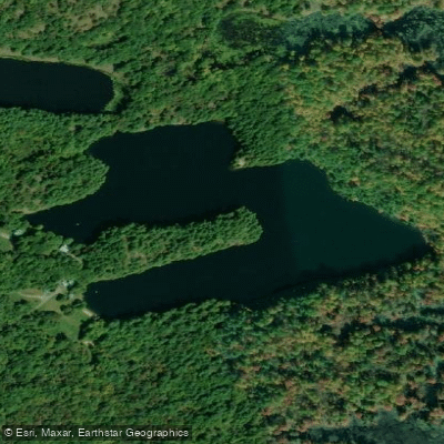
Folsom Lake
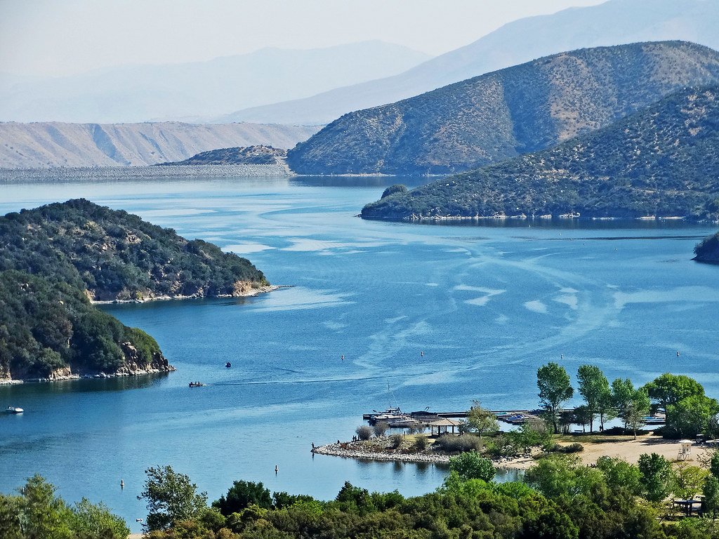
Silverwood Lake
Explore Nevada waters
Top paddling waters
Popular Cities
Loading popular cities...
Explore near Amargosa River
Access points
Nearby waters
More in Nevada

Smarter Paddling Starts in the App.
Paddleways gives you everything you need to plan smarter, paddle better, and own every trip from first launch to takeout.