West Walker River
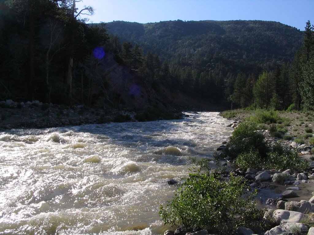
West Walker River
- Boat Ramps
- 0
- Access Points
- 8
- Campsites
- 14
The West Walker River is a scenic waterway originating high in California's Sierra Nevada mountains near Yosemite National Park. It flows north through Mono County, California before entering Nevada and joining the East Walker River to form the main Walker River. The West Walker travels approximately 95 miles, draining a watershed of over 1,000 square miles.
For paddlers, the West Walker offers diverse experiences ranging from challenging whitewater to peaceful flatwater. The upper reaches feature technical Class IV-V rapids suitable only for expert kayakers, particularly the 2.3-mile Leavitt Station to Pickel Meadow section with its steep 180 feet per mile gradient. Downstream, an 11-mile stretch from Highway 395 Bridge to Walker provides Class III-V whitewater popular with intermediate to advanced paddlers. This section alternates between exciting rapids and calmer recovery zones.
The river's flow is highly seasonal, with peak runoff typically occurring in May and June from Sierra snowmelt. Late spring through early summer offers the best paddling conditions, though sections remain runnable into fall. Winter paddling is generally not recommended due to cold temperatures and low water levels.
The West Walker's corridor supports diverse plant and animal life. Cottonwoods and willows line the banks, while mule deer, black bears, and a variety of bird species inhabit the surrounding forests and meadows. The river is also known for its trout fishing.
Key access points include the Leavitt Meadows trailhead, Highway 395 Bridge, and the town of Walker. Nearby communities like Bridgeport and Coleville offer services for paddlers. The river passes through scenic landscapes like Leavitt Meadows and follows portions of Highways 108 and 395.
Historically, the West Walker played a role in Native American trade routes and later in early pioneer settlement of the region. Today, it remains an important water source for local agriculture.
Paddlers should be aware of fluctuating water levels, wood hazards, and remote sections with limited access. Personal flotation devices are required, and paddlers should check current conditions before trips. Multi-day adventures are possible by combining river sections with hiking in the adjacent Hoover Wilderness.
The West Walker River offers a quintessential Sierra Nevada paddling experience, from challenging whitewater to serene mountain scenery, making it a prized destination for outdoor enthusiasts in eastern California and western Nevada.
Water access, boat ramps & amenities
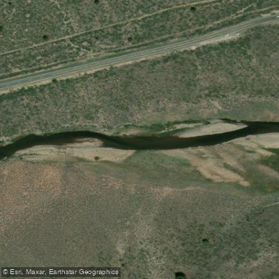
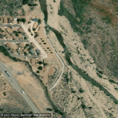
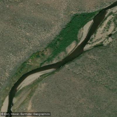
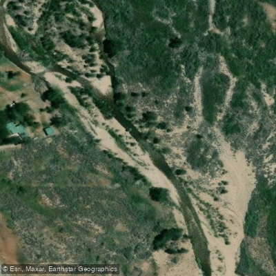
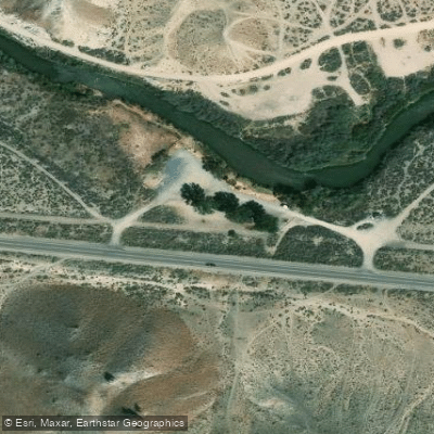
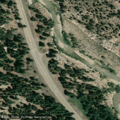
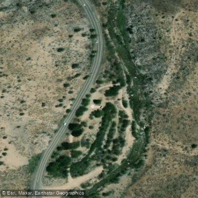
Learn how to get on West Walker River. Uncover great paddling access points, boat ramps, and all the facilities you need for an unforgettable day on the water. Some locations shown may border or include private property. Always check property boundaries and applicable regulations before visiting. PaddleWays's Public & Private Land layer can help you plan your access with confidence.
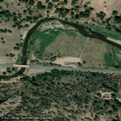
Paddle smarter with real-time insights
Whether you're en route and conditions shift or you're looking for the best spot based on current flows, we enable you to make informed decisions on the fly.








Find Places to Paddle

Over 400,000 Places to Paddle
Every user gets free access to launch points, boat ramps, and public property parcels.


Water and weather conditions (10 day forecast)
See the best times to paddle West Walker River and check the forecast before you go.
W WALKER RV AT HOYE BRG NR WELLINGTON, NV
All Flow Stations
Paddling near West Walker River
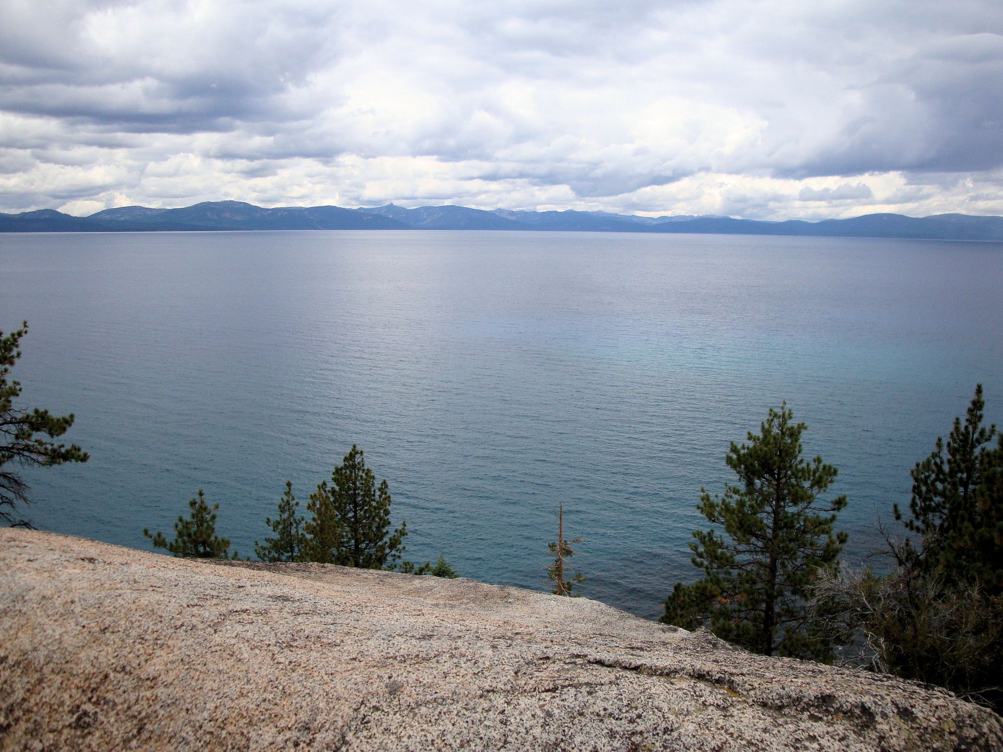
Lake Tahoe
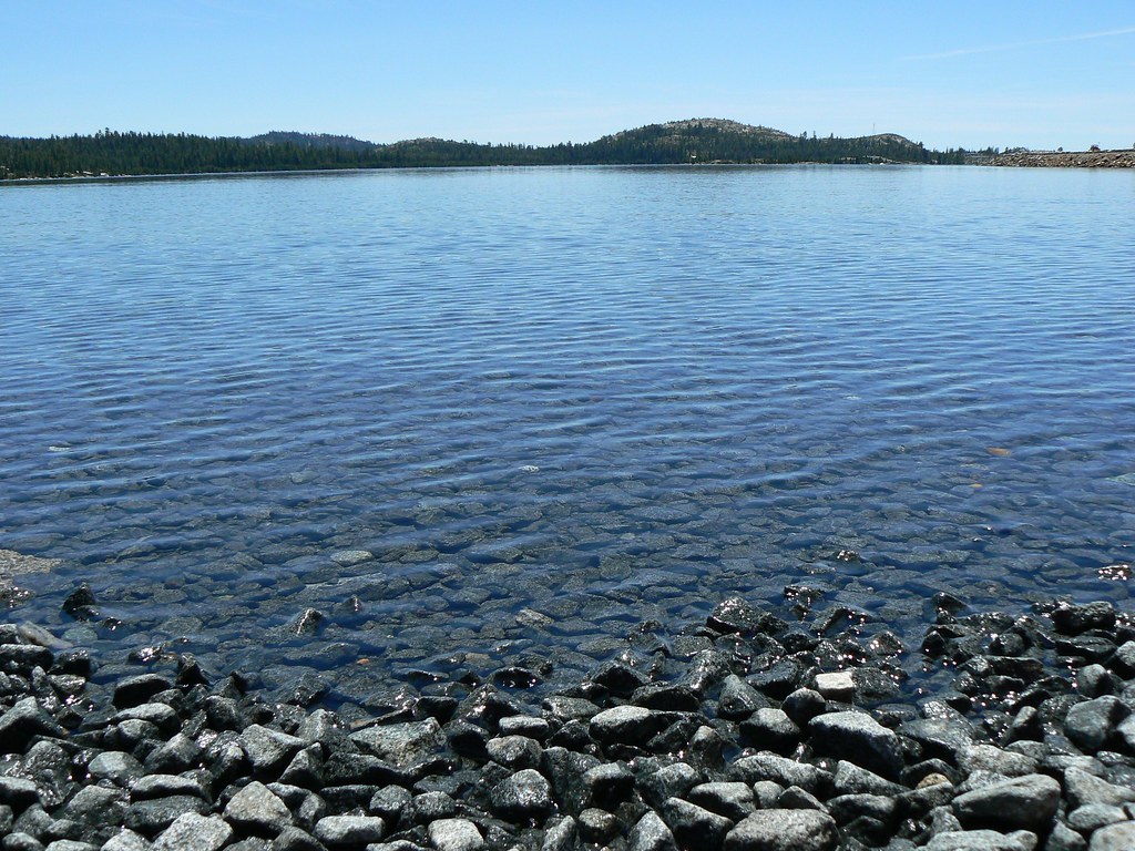
Loon Lake
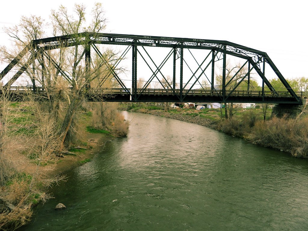
Truckee River

North Fork American River
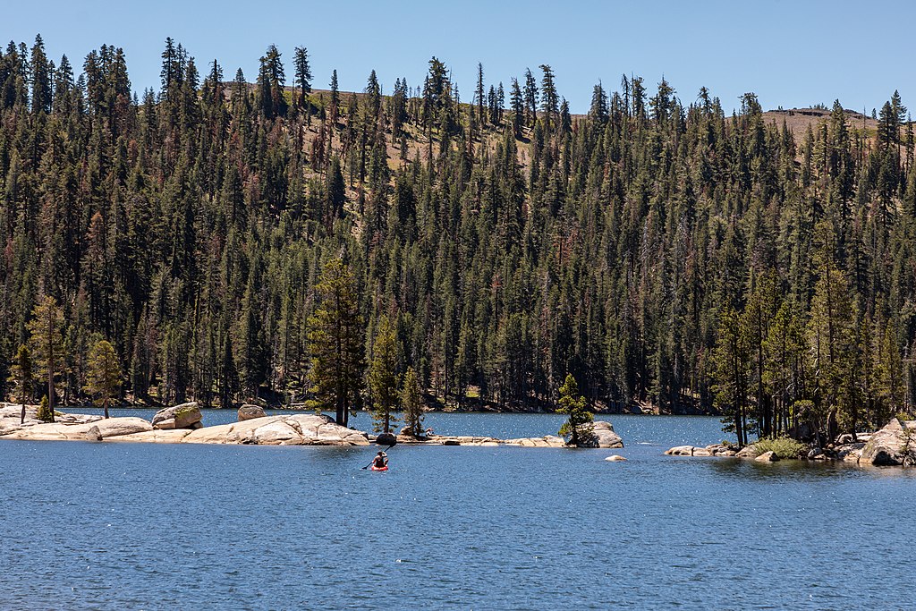
Lake Alpine
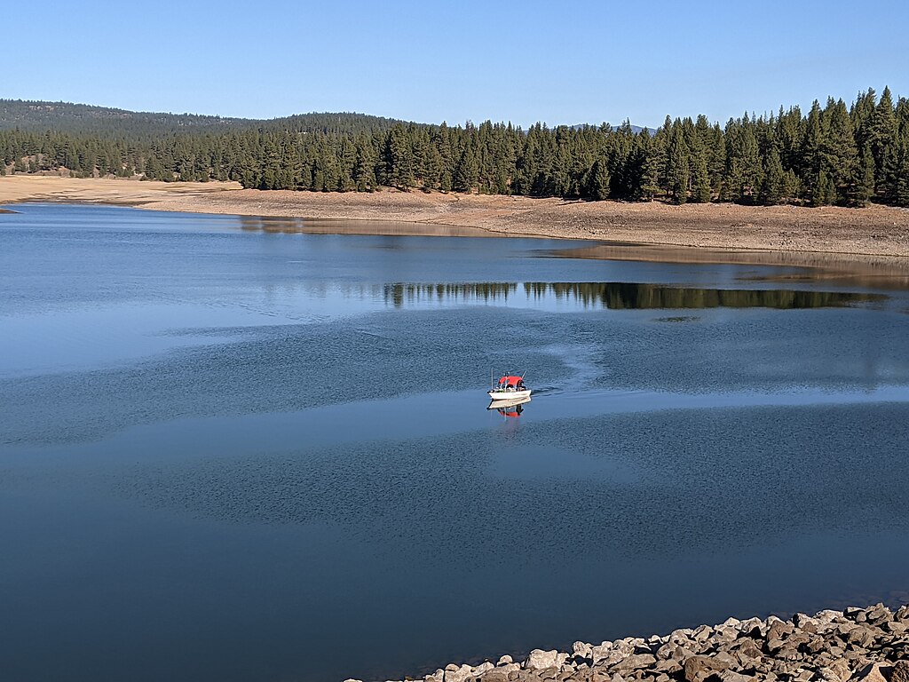
Prosser Creek Reservoir
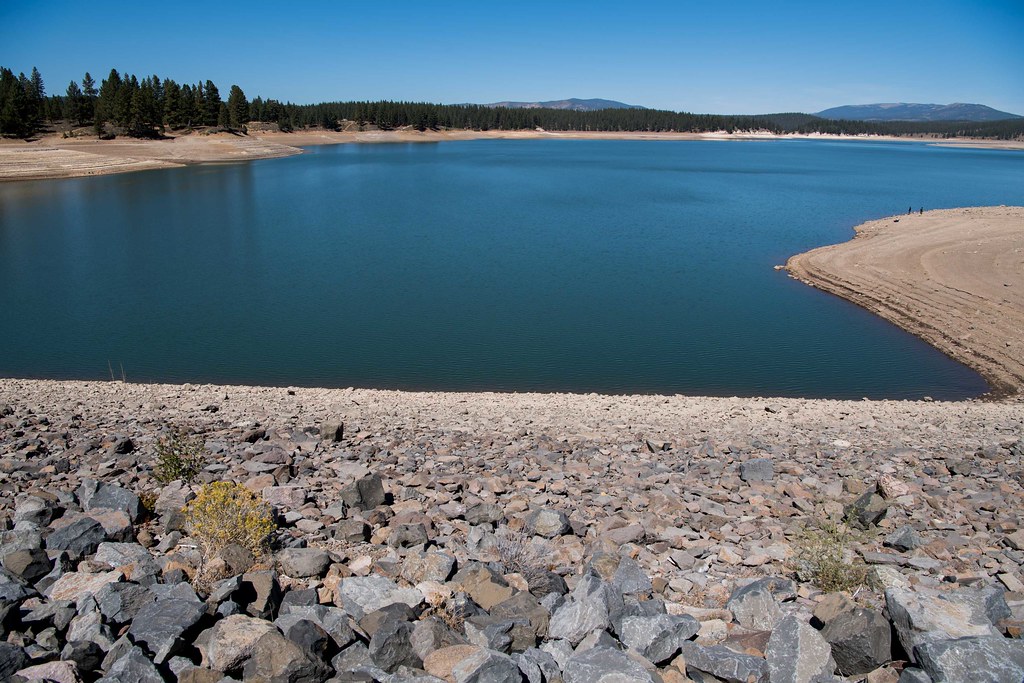
Boca Reservoir
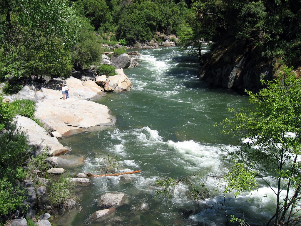
North Fork Mokelumne River
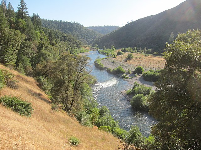
Middle Fork American River
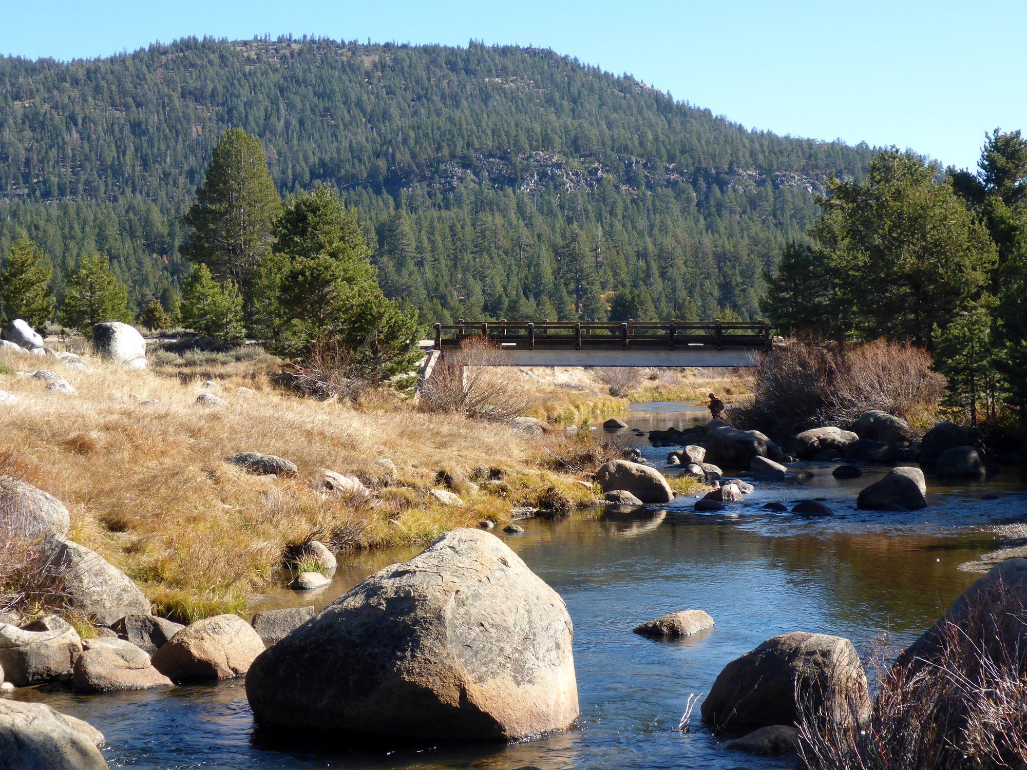
West Fork Carson River
Explore Nevada waters
Top paddling waters
Popular Cities
Loading popular cities...
Explore near West Walker River
Access points
Nearby waters
More in Nevada

Smarter Paddling Starts in the App.
Paddleways gives you everything you need to plan smarter, paddle better, and own every trip from first launch to takeout.