West Fork Carson River
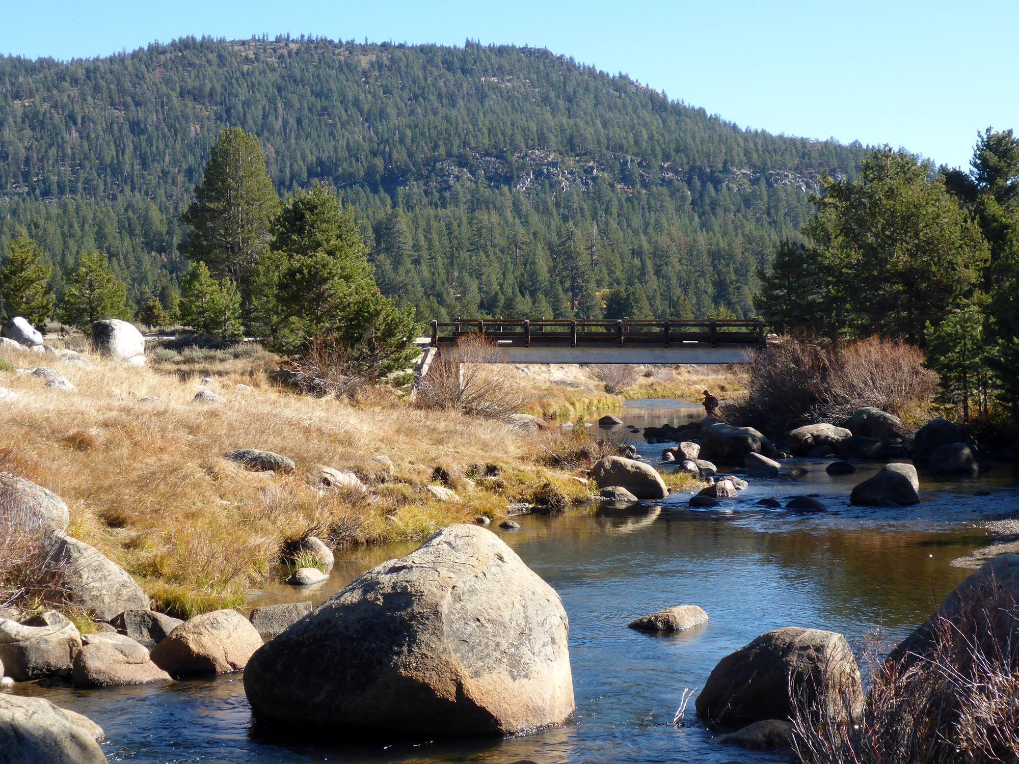
West Fork Carson River
- Boat Ramps
- 0
- Access Points
- 2
- Campsites
- 14
The West Fork Carson River originates in the Sierra Nevada mountains of California, flowing northward through scenic alpine valleys before joining the East Fork to form the main stem of the Carson River in Nevada. This important waterway spans approximately 40 miles, draining a watershed that includes Hope Valley and parts of the Humboldt-Toiyabe National Forest.
For paddlers, the West Fork offers a diverse range of experiences across several distinct sections. The upper reaches from Hope Valley Campground to Sorensens provide a gentle 7-mile stretch of Class I-III rapids, perfect for beginners and intermediate paddlers. This section is renowned for its excellent dry fly fishing and picturesque mountain scenery. Downstream, the river intensifies dramatically with a challenging 3.5-mile Class V section from Sorensens to the Highway 88/89 bridge. This expert-only run demands advanced whitewater skills and careful scouting. Below the bridge, a 5.4-mile stretch of Class II-IV rapids offers exciting paddling for skilled enthusiasts. The final major section spans 15.5 miles from Diamond Valley Road to the Highway 206 bridge, crossing from California into Nevada. This longer, mellower stretch features primarily Class I-II water, ideal for relaxed full-day floats, though paddlers should be alert for potential hazards like fences and dams.
Spring snowmelt typically provides the best paddling conditions, usually peaking in May and June. However, the river's flow can vary significantly based on seasonal precipitation and upstream water management. The West Fork's corridor supports diverse wildlife, including rainbow and cutthroat trout, black bears, and numerous bird species. Aspen groves line much of the riverbank, offering spectacular fall colors.
Key access points include Hope Valley Campground, Sorensens, and various highway bridge crossings. The towns of Markleeville and Woodfords in California, and Gardnerville in Nevada, serve as the nearest population centers for supplies and services. Historically, the river played a crucial role in the region's logging and mining industries. Today, it's valued for its recreational opportunities and as a vital water source for local communities and agriculture.
Paddlers should be aware of rapidly changing weather conditions in the high Sierra and the potential for cold water even in summer months. All users should practice Leave No Trace principles to help preserve the river's pristine character for future generations. For those seeking a multi-day adventure, it's possible to combine several sections of the West Fork with stretches of the East Fork Carson River, creating extended trips through the scenic Carson River watershed.
Water access, boat ramps & amenities
Learn how to get on West Fork Carson River. Uncover great paddling access points, boat ramps, and all the facilities you need for an unforgettable day on the water. Some locations shown may border or include private property. Always check property boundaries and applicable regulations before visiting. PaddleWays's Public & Private Land layer can help you plan your access with confidence.
Paddle smarter with real-time insights
Whether you're en route and conditions shift or you're looking for the best spot based on current flows, we enable you to make informed decisions on the fly.








Find Places to Paddle

Over 400,000 Places to Paddle
Every user gets free access to launch points, boat ramps, and public property parcels.


Water and weather conditions (10 day forecast)
See the best times to paddle West Fork Carson River and check the forecast before you go.
W FK CARSON RV AT WOODFORDS, CA
All Flow Stations
Paddling near West Fork Carson River
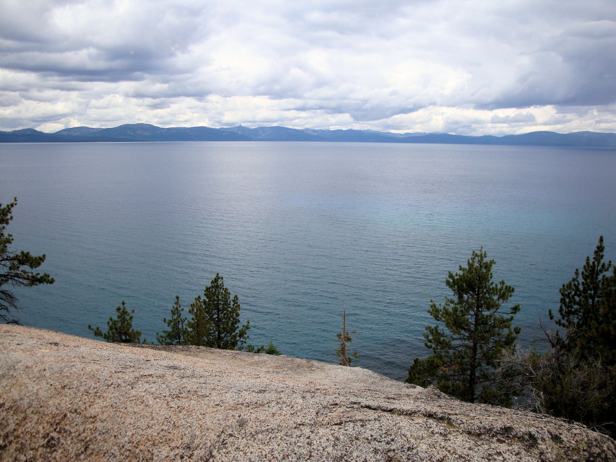
Lake Tahoe
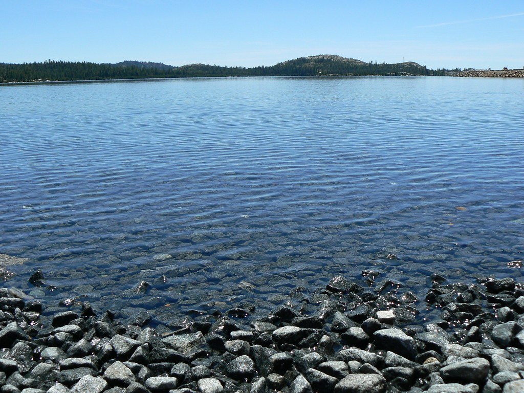
Loon Lake
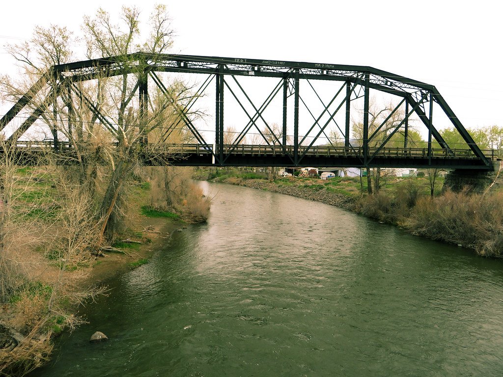
Truckee River

North Fork American River
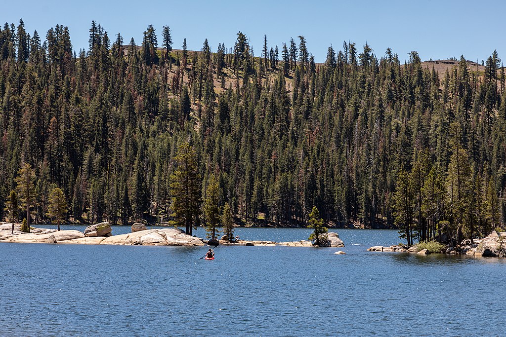
Lake Alpine
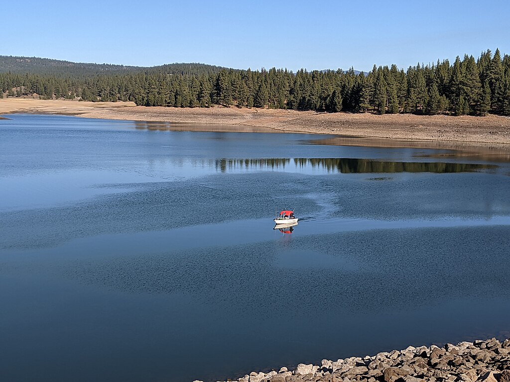
Prosser Creek Reservoir
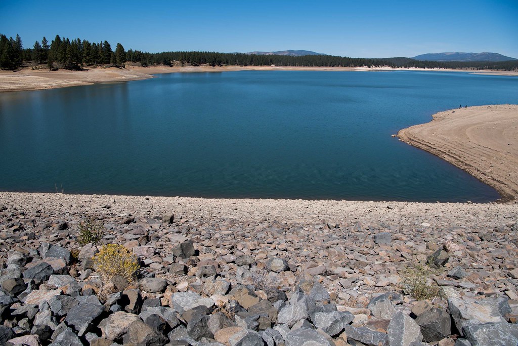
Boca Reservoir
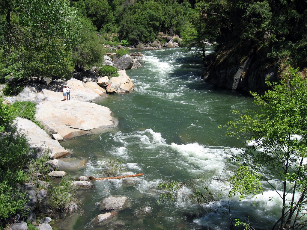
North Fork Mokelumne River
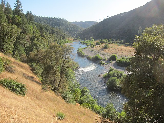
Middle Fork American River
Explore California waters
Top paddling waters
Popular Cities
Loading popular cities...
Explore near West Fork Carson River
Access points
- Lost Lakes Access
- River Fork Ranch Preserve Access
- West Fork Carson River Bridge
- West Fork Carson River Bridge
- West Fork Carson River Bridge
- West Fork Carson River Bridge
- Mid Chnl Carson Rvr Bridge
- West Fork Carson River Bridge
- West Fork Carson River Bridge
- 88 Bridge
- West Fork Carson River Bridge
- West Fork Carson River Bridge
- All 64 spots
Nearby waters
More in California

Smarter Paddling Starts in the App.
Paddleways gives you everything you need to plan smarter, paddle better, and own every trip from first launch to takeout.