Middle Fork American River
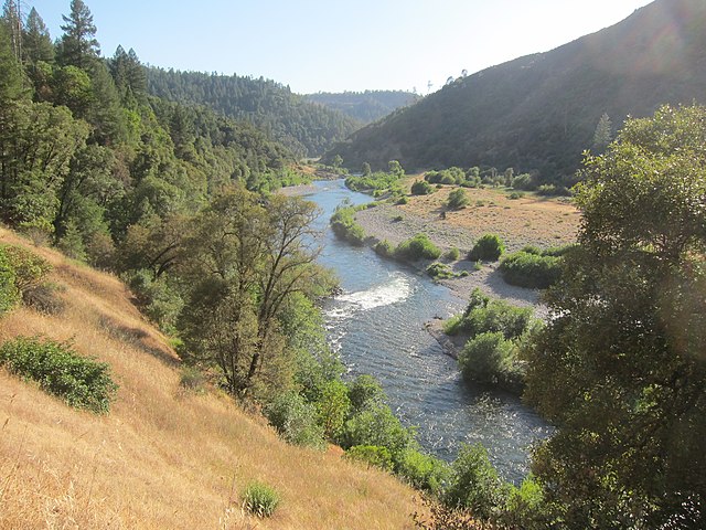
Middle Fork American River
- Boat Ramps
- 8
- Access Points
- 13
- Campsites
- 35
The Middle Fork American River is a premier whitewater destination in California's Sierra Nevada foothills. Originating high in the mountains near French Meadows Reservoir, it flows southwest for approximately 62 miles before joining the North Fork to form the main stem American River. The river carves through a deep, scenic canyon within Tahoe National Forest. The most popular paddling section is the 18-mile Tunnel Chute Run from Oxbow Powerhouse to Greenwood Bridge near Auburn.
This stretch offers thrilling Class IV whitewater with infamous rapids like Tunnel Chute, a unique man-made chute blasted by gold miners. Other notable rapids include Last Chance (III), Kanaka Falls (IV), and Chunder (IV). The run culminates with Ruck-A-Chucky Falls, a mandatory Class VI portage. Skill levels range from intermediate to advanced, with most commercial trips requiring previous rafting experience. The river is dam-controlled, providing reliable flows from late spring through early fall. Peak season is typically May through September.
The river corridor hosts diverse wildlife including black bears, river otters, and bald eagles. Towering pines and oaks line the banks. Historic mining remnants can be spotted along the way, offering glimpses into California's Gold Rush era. Popular access points include the put-in at Oxbow Powerhouse and take-out at Greenwood Bridge, both near Auburn. Nearby towns like Foresthill and Colfax provide amenities for paddlers.
Multi-day trip options abound, with outfitters offering 2-3 day adventures. These often combine the Middle Fork with runs on the South Fork American River for a comprehensive whitewater experience. Overnight camping along the river enhances the wilderness feel.
Safety is paramount, with Class IV rapids demanding respect and proper equipment. All paddlers should wear approved life jackets and helmets. Commercial trips are regulated by state and federal agencies to ensure proper safety standards. The Middle Fork American River offers a perfect blend of challenging whitewater, pristine wilderness, and rich history, making it a bucket-list destination for rafting enthusiasts seeking a classic California paddling adventure.
Water access, boat ramps & amenities
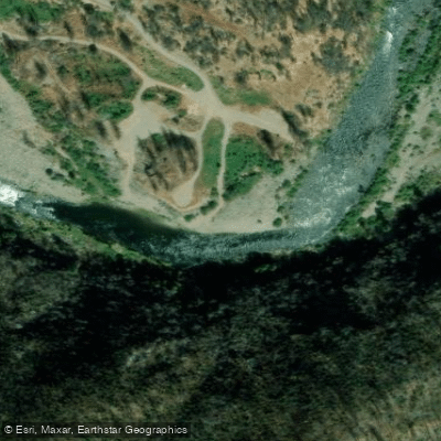
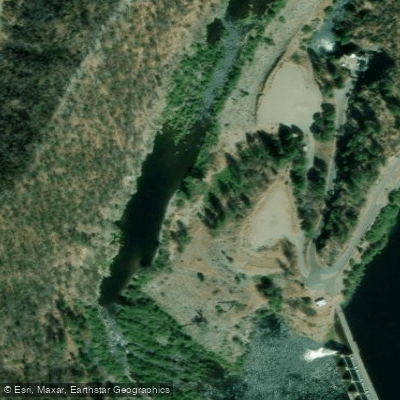
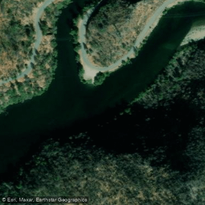
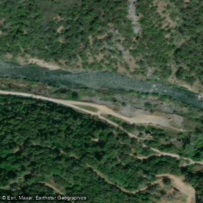
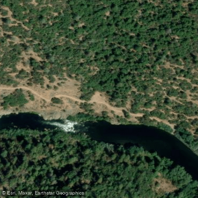
Learn how to get on Middle Fork American River. Uncover great paddling access points, boat ramps, and all the facilities you need for an unforgettable day on the water. Some locations shown may border or include private property. Always check property boundaries and applicable regulations before visiting. PaddleWays's Public & Private Land layer can help you plan your access with confidence.
Paddle smarter with real-time insights
Whether you're en route and conditions shift or you're looking for the best spot based on current flows, we enable you to make informed decisions on the fly.








Find Places to Paddle

Over 400,000 Places to Paddle
Every user gets free access to launch points, boat ramps, and public property parcels.


Water and weather conditions (10 day forecast)
See the best times to paddle Middle Fork American River and check the forecast before you go.
MIDDLE FK AMERICAN R NR OXBOW PH
Paddling near Middle Fork American River
Folsom Lake

North Fork American River
Snodgrass Slough
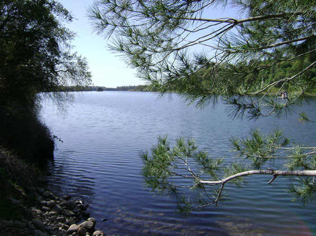
Lake Natoma

American River
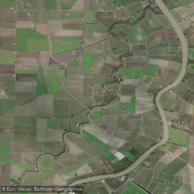
Elk Slough

Sacramento River
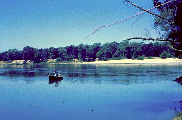
Feather River
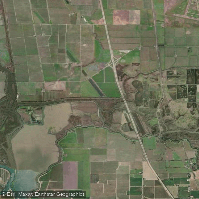
Lost Slough
Explore California waters
Top paddling waters
Popular Cities
Loading popular cities...
Explore near Middle Fork American River
Access points
Nearby waters
More in California

Smarter Paddling Starts in the App.
Paddleways gives you everything you need to plan smarter, paddle better, and own every trip from first launch to takeout.