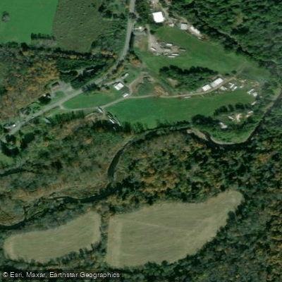
Curated by PaddleWays
RouteClass I–III
- Distance
- 8.1 mi
- Paddle time
- ~2 hrs
- Best for
- Intermediate paddlers
- Put-in → take-out
- East Branch Callicoon Creek Access → Hortonville-Main Street Access
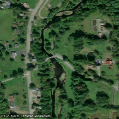
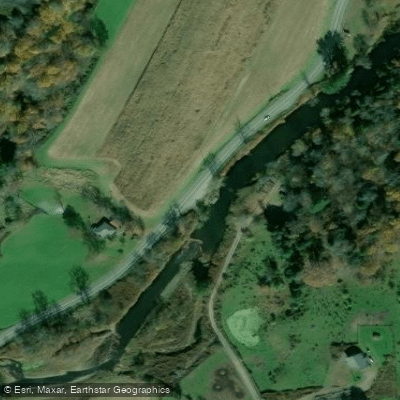
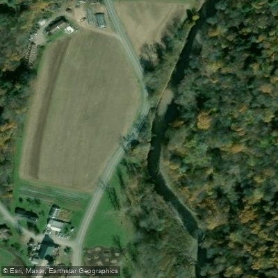
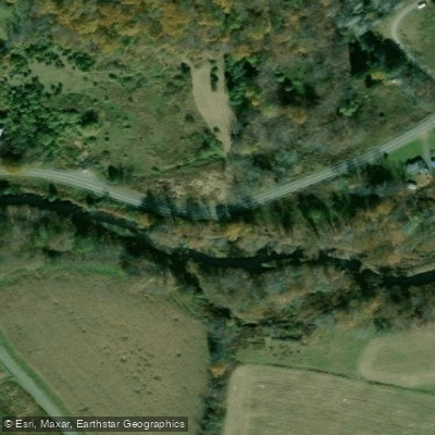
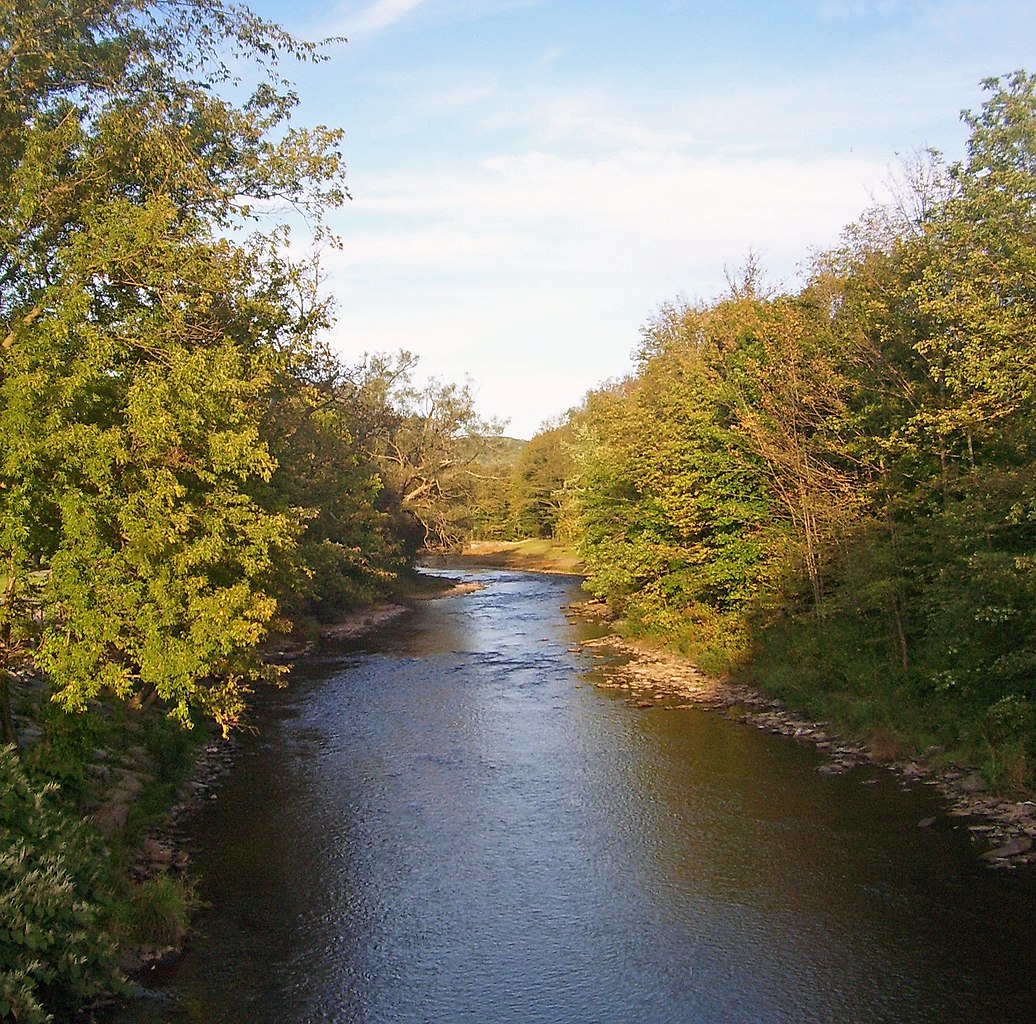
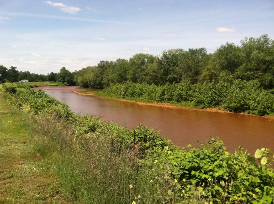
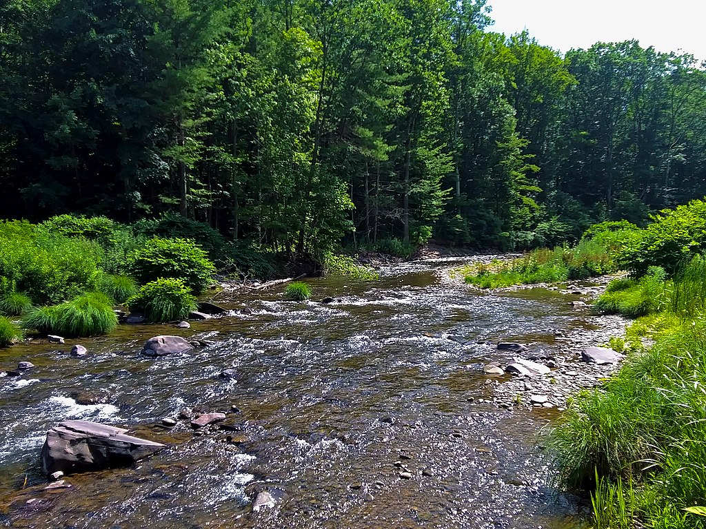
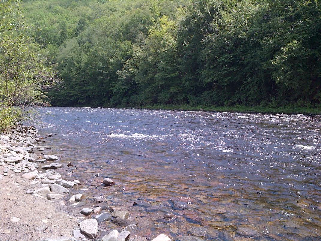
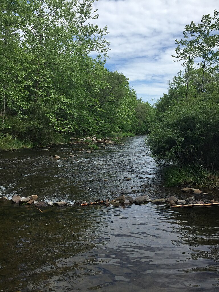
The East Branch Callicoon Creek is a picturesque waterway flowing through the western Catskills region of Sullivan County, New York. Originating in the hills near Jeffersonville, this stream meanders southwest for approximately 15 miles before joining the North Branch Callicoon Creek to form the main stem of Callicoon Creek, which ultimately empties into the Delaware River. The most popular paddling section runs 10 miles from the Route 52 bridge near Youngsville to the confluence with the North Branch. This stretch offers an excellent mix of Class I to III rapids, making it suitable for intermediate paddlers with some whitewater experience.
The creek's character changes with water levels - at low flows it's a technical rock-dodging affair, while higher water creates more continuous rapids and wave trains. Spring runoff typically provides the most reliable flows, usually from late March through May. Summer paddling is possible after heavy rains, but the creek can become too low by mid-summer in dry years. Fall colors make for a stunning backdrop when water levels cooperate.
The surrounding landscape is a mix of hemlock forests, meadows, and small farms. Wildlife sightings may include deer, wild turkey, and a variety of songbirds. Brook trout inhabit the cooler upstream reaches, while brown trout become more prevalent in the lower sections.
Key landmarks include the historic Youngsville Covered Bridge, visible from the put-in at Route 52. The small hamlet of Youngsville offers basic services for paddlers. Midway through the run, paddlers will pass under the Buck Brook Road bridge near the village of North Branch.
Access is relatively straightforward, with the main put-in at the Route 52 bridge and take-out at the North Branch confluence. Both are near public roads, though parking can be limited. The nearby town of Callicoon, about 10 miles southwest of the take-out, serves as a good base for overnight trips.
The East Branch played a role in the region's logging history, with remnants of old mill sites occasionally visible along the banks. Today, it's valued for its recreational opportunities and as an important tributary in the Upper Delaware watershed. Paddlers should be aware of strainers, especially in the upper reaches, and should scout unfamiliar rapids. New York state fishing regulations apply, and a fishing license is required for angling. While it's possible to complete the run in a long day, splitting it into a two-day trip allows for a more relaxed pace and the chance to fully appreciate this charming Catskills waterway.
Curated routes
Hand-picked by the PaddleWays team, with put-ins, take-outs, paddle times and the hazards along the way.
RouteClass I–III
Hazards
No paddler has reported a hazard here yet, so these are the dams, falls and big rapids on our map. Hazards change with flows and storms, so check them before you launch.
From the community
Nobody has shared a trip on East Branch Callicoon Creek yet. Paddle it, then tell the next paddler how it went.
See exactly where the public can get on and off the river. Launch points and boat ramps are paired with PaddleWays' public land data so you know where you can legally land.
Public shoreline
1%of the river's shoreline is public
Most of the riverbank is private. Launch, land and camp only at public access points.
Flows, weather and a route-by-route verdict, so you know which stretch of the East Branch Callicoon Creek is worth paddling today.
No forecast data available.
Live flows, marked hazards and fresh trip reports from paddlers who were just on the water, all in one place.





Every user gets free access to launch points, boat ramps, and public property parcels.


Loading popular cities...
PaddleWays gives you everything you need to plan smarter, paddle better, and own every trip from first launch to takeout.