Curated by PaddleWays
RouteFlatwater
- Distance
- 6.3 mi
- Paddle time
- ~2 hrs
- Best for
- Beginners
- Put-in → take-out
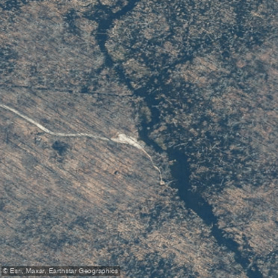
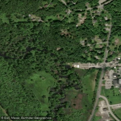
- Patterson Environmental Park, gravel Boat Ramp → Green Chimneys Access
The East Branch Croton River is a significant waterway in southeastern New York, originating in Putnam County and flowing south through the Great Swamp watershed. This river forms a crucial part of the larger Croton River system, which ultimately feeds into the New York City water supply. The river's journey begins near Pawling and meanders south through Patterson and Southeast before entering Westchester County. Along its course, it passes through the ecologically rich Great Swamp, one of the largest freshwater wetlands in New York State. The East Branch eventually joins with other tributaries to form the main stem of the Croton River, which empties into the Croton Reservoir system.
Paddling opportunities on the East Branch Croton River cater to a range of skill levels. The upper sections, particularly through the Great Swamp, offer serene flatwater paddling ideal for beginners and nature enthusiasts. A popular 7-mile stretch from Patterson Environmental Park to Green Chimneys School in Brewster provides a pleasant half-day trip through diverse wetland habitats. As the river approaches the Croton Dam, the character changes, offering more challenging conditions for experienced paddlers. The section from Croton Dam to the Hudson River includes Class II rapids, with some areas potentially reaching Class IV, especially near features like the pumping station dam and Rock. The best paddling times are typically spring through fall, with water levels varying based on rainfall and reservoir management. Paddlers should always check current conditions before embarking.
The river's ecosystem supports a rich variety of flora and fauna. The Great Swamp area is particularly known for its biodiversity, hosting numerous bird species, making it a favorite spot for birdwatchers and nature photographers. Key access points include Patterson Environmental Park, Donald B. Smith Conservation Area, and Green Chimneys School. The Echo Canoe and Kayak Launch near Croton-on-Hudson provides access to the lower sections and connection to the Hudson River.
Historically, the East Branch Croton River has played a vital role in the development of New York City's water supply system. Today, it continues to be an important water source and a cherished recreational asset for the region. Safety considerations include being aware of varying water levels, potential strainers in the swamp sections, and boat traffic in the lower reaches near the Hudson. Paddlers are advised to wear life jackets and clean their boats to prevent the spread of invasive species. While primarily suited for day trips, the river's connection to the larger Croton system and the Hudson offers possibilities for extended paddling adventures for those willing to plan logistics carefully.
Curated routes
Hand-picked by the PaddleWays team, with put-ins, take-outs, paddle times and the hazards along the way.
RouteFlatwater
Hazards
No paddler has reported a hazard here yet, so these are the dams, falls and big rapids on our map. Hazards change with flows and storms, so check them before you launch.
From the community
Nobody has shared a trip on East Branch Croton River yet. Paddle it, then tell the next paddler how it went.
See exactly where the public can get on and off the river. Launch points and boat ramps are paired with PaddleWays' public land data so you know where you can legally land.
Public shoreline
38%of the river's shoreline is public
Most of the riverbank is private. Launch, land and camp only at public access points.
Flows, weather and a route-by-route verdict, so you know which stretch of the East Branch Croton River is worth paddling today.
All Flow Stations
Live flows, marked hazards and fresh trip reports from paddlers who were just on the water, all in one place.





Every user gets free access to launch points, boat ramps, and public property parcels.

Loading popular cities...
PaddleWays gives you everything you need to plan smarter, paddle better, and own every trip from first launch to takeout.