Saugatuck River
- Saltwater
- Tidal river
Saugatuck River
- Saltwater
- Tidal river
- Sq. miles
- 0.3
- Boat Ramps
- 2
- Access Points
- 0
- Campsites
- 0
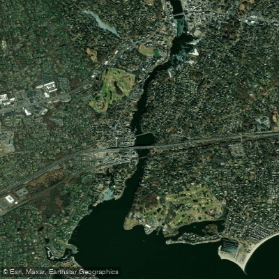
The Saugatuck River is a tidal river in Westport, Connecticut, that flows into Long Island Sound. It offers a saltwater paddling environment suitable for kayaks, canoes, and stand-up paddleboards. The primary public access point is the Connecticut DEEP Saugatuck River Boat Launch, located on Elaine Road under the I-95 bridge. This launch features a concrete slab ramp, a paved parking lot with approximately 25 spaces, and a seasonal chemical toilet. Parking is free. Another commercial access point is a private dock at 575 Riverside Avenue, used by a rental and tour company. The river's character is entirely defined by the tides. Paddling is most comfortable and recommended at high tide, as low tide exposes mudflats and can be unpleasant. The tidal range is significant, with a specific example noting a low of 0.92 feet and a high of 7.22 feet on a given evening. Currents are present but generally described as mild or gentle. Planning a trip to paddle with the tidal flow, especially on a flood tide heading upriver, is advisable. The river meanders through a mix of natural and developed areas. From the main launch, paddlers can explore upstream towards the town of Westport, where it's possible to land for amenities like a coffee shop, or downstream towards the river's mouth. The mouth opens into Westport Harbor and the wider Long Island Sound, providing access to points like Compo Beach, Grays Creek, Kitts Island, and Saugatuck Shores. Venturing into the Sound increases exposure to wind, waves, and boat traffic. Within the harbor, river, and adjacent marshes, a strict 5 MPH speed limit is enforced, and waterskiing and surfboarding are prohibited in channels. The area is popular for summer fireworks displays viewed from the water. Wildlife includes various bird species. The paddle is considered suitable for beginners, especially on guided tours or within the protected river sections, though entering the open Sound requires greater skill and awareness of conditions. The best seasons for paddling are spring, summer, and fall.
Water access, boat ramps & amenities
Learn how to get on Saugatuck River. Uncover great paddling access points, boat ramps, and all the facilities you need for an unforgettable day on the water. Some locations shown may border or include private property. Always check property boundaries and applicable regulations before visiting. PaddleWays's Public & Private Land layer can help you plan your access with confidence.

Paddle smarter with real-time insights
Whether you're en route and conditions shift or you're looking for the best spot based on current flows, we enable you to make informed decisions on the fly.








Find Places to Paddle

Over 400,000 Places to Paddle
Every user gets free access to launch points, boat ramps, and public property parcels.


Tides, wind & water conditions (10 day forecast)
On open water, wind and tide matter as much as the weather. See the best times to paddle Saugatuck River and check the marine forecast before you launch.
Loading tide predictions…
Paddling near Saugatuck River

Housatonic River

Hudson River
Norwalk Islands

Croton River
Naugatuck River
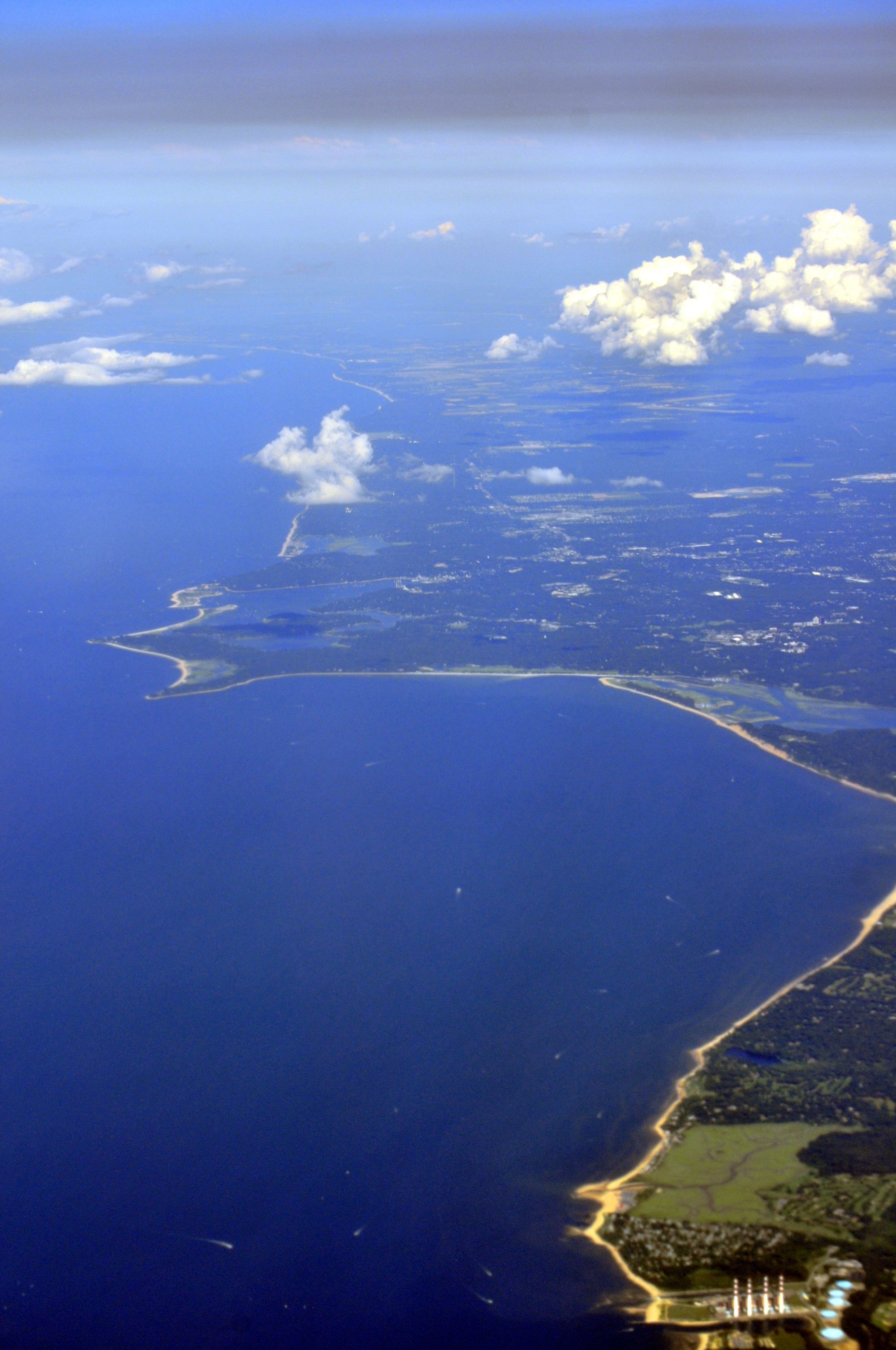
Smithtown Bay
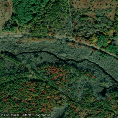
Peconic River
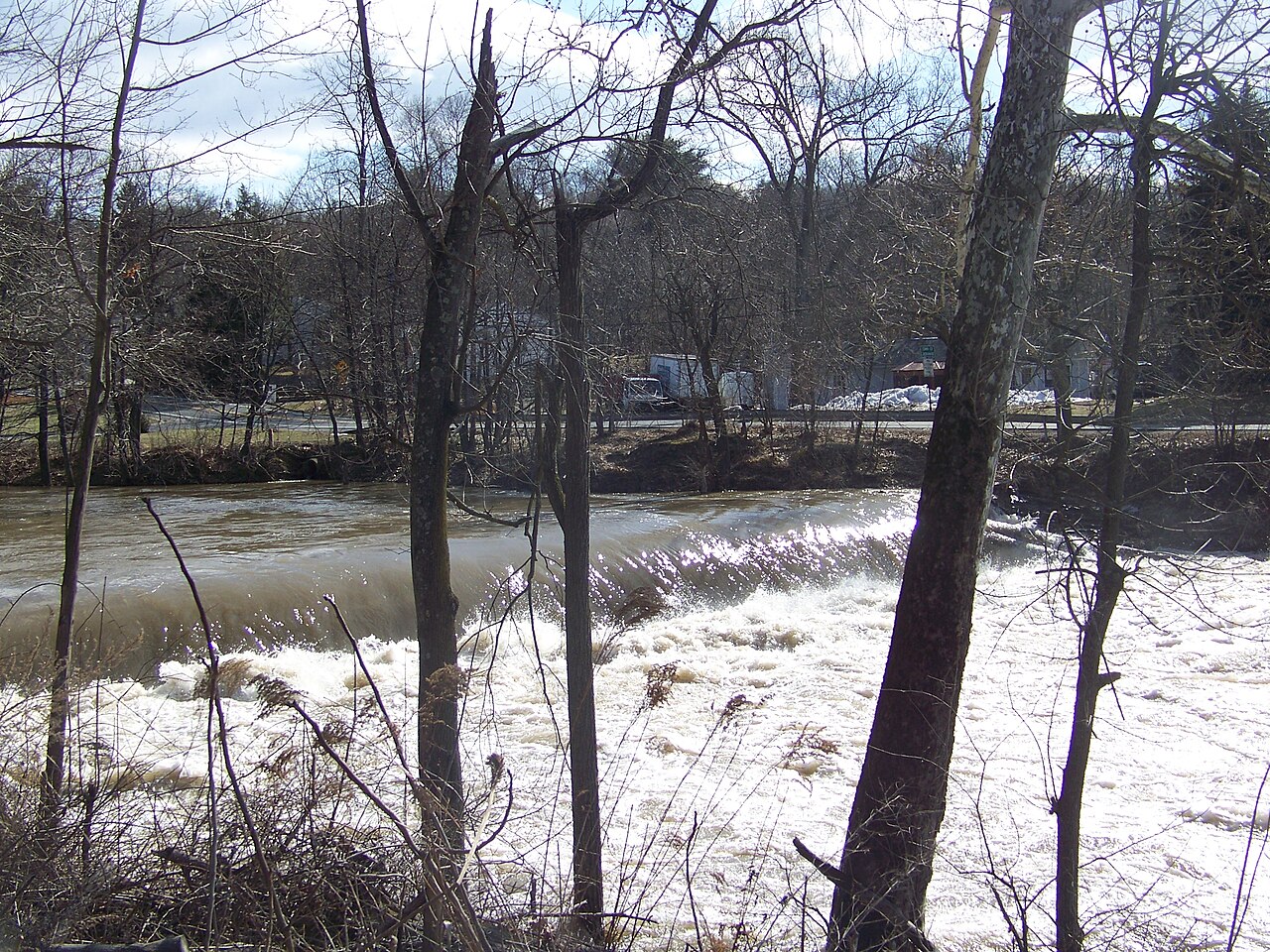
Wappinger Creek
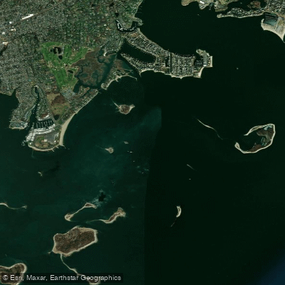
Cockenoe Harbor
Explore Connecticut waters
Top paddling waters
Popular Cities
Loading popular cities...
Explore near Saugatuck River
Access points
Nearby waters
More in Connecticut

Smarter Paddling Starts in the App.
Paddleways gives you everything you need to plan smarter, paddle better, and own every trip from first launch to takeout.