Great Peconic Bay
- Saltwater
- Bay
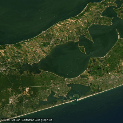
Great Peconic Bay
- Saltwater
- Bay
- Sq. miles
- 36
- Boat Ramps
- 1
- Access Points
- 4
- Campsites
- 1
Great Peconic Bay is a large, open saltwater bay on Long Island, offering a challenging paddling environment that is not suitable for beginners except under the best conditions. The bay connects to other bodies of water like Little Peconic Bay and Flanders Bay, with the waterway narrowing as you pass Red Cedar. A notable and popular paddling route circles the perimeter of Robins Island, which is located within the bay, typically launching from the beach in New Suffolk. Access points are limited and often informal. One secluded put-in is at Red Creek Pond, which provides access to the bay via the tidal pond and then Flanders Bay to the west; this spot has short carry, beach launch, and parking for only 2-4 cars, and it may not be in the best neighborhood. Another potential access is from Meschutt Beach. Paddlers must be acutely aware of tidal currents, which can be significant. The South Race, located just south of Robins Island, has swift currents averaging about 3.5 knots during peak incoming tide and up to 4 knots during peak outgoing tide over a hard, shell-strewn bottom. Planning put-in and takeout times with the tide is essential, as some adjacent areas like Mount Sinai Harbor become essentially inaccessible at low tide. The bay is also active with pleasure boat traffic. Participants must provide their own paddling equipment, and local permits or parking fees may apply at some town-maintained locations.
Water access, boat ramps & amenities
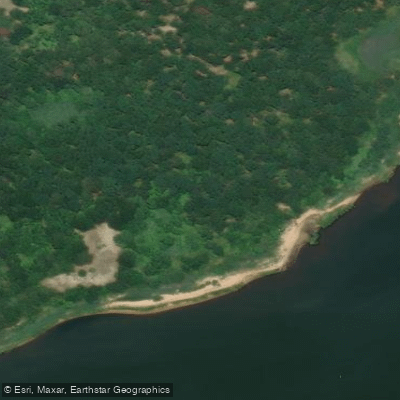
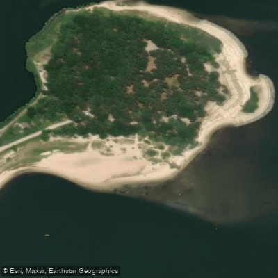
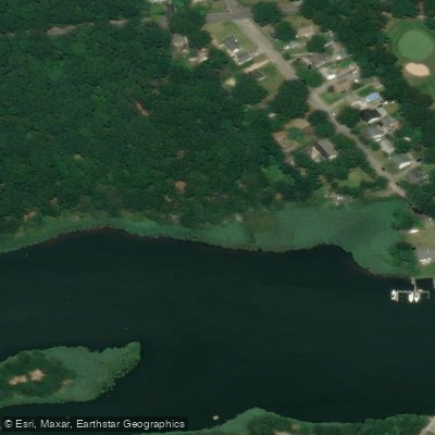
Learn how to get on Great Peconic Bay. Uncover great paddling access points, boat ramps, and all the facilities you need for an unforgettable day on the water. Some locations shown may border or include private property. Always check property boundaries and applicable regulations before visiting. PaddleWays's Public & Private Land layer can help you plan your access with confidence.
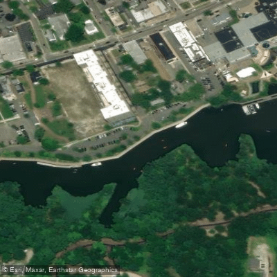
Paddle smarter with real-time insights
Whether you're en route and conditions shift or you're looking for the best spot based on current flows, we enable you to make informed decisions on the fly.








Find Places to Paddle

Over 400,000 Places to Paddle
Every user gets free access to launch points, boat ramps, and public property parcels.


Tides, wind & water conditions (10 day forecast)
On open water, wind and tide matter as much as the weather. See the best times to paddle Great Peconic Bay and check the marine forecast before you launch.
Loading tide predictions…
Paddling near Great Peconic Bay
Peconic River

Housatonic River

Great South Bay

Connecticut River
Naugatuck River
Moriches Bay
Carmans River
Nissequogue River
Explore New York waters
Top paddling waters
Popular Cities
Loading popular cities...
Explore near Great Peconic Bay
Access points
Nearby waters
More in New York

Smarter Paddling Starts in the App.
Paddleways gives you everything you need to plan smarter, paddle better, and own every trip from first launch to takeout.