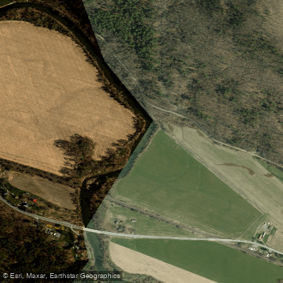
Curated by PaddleWays
RouteClass II
- Distance
- 3.3 mi
- Paddle time
- 4 hrs
- Put-in → take-out
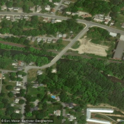
- Joe Girardi Park Boat Ramp → Lauren's Launch Boat Ramp
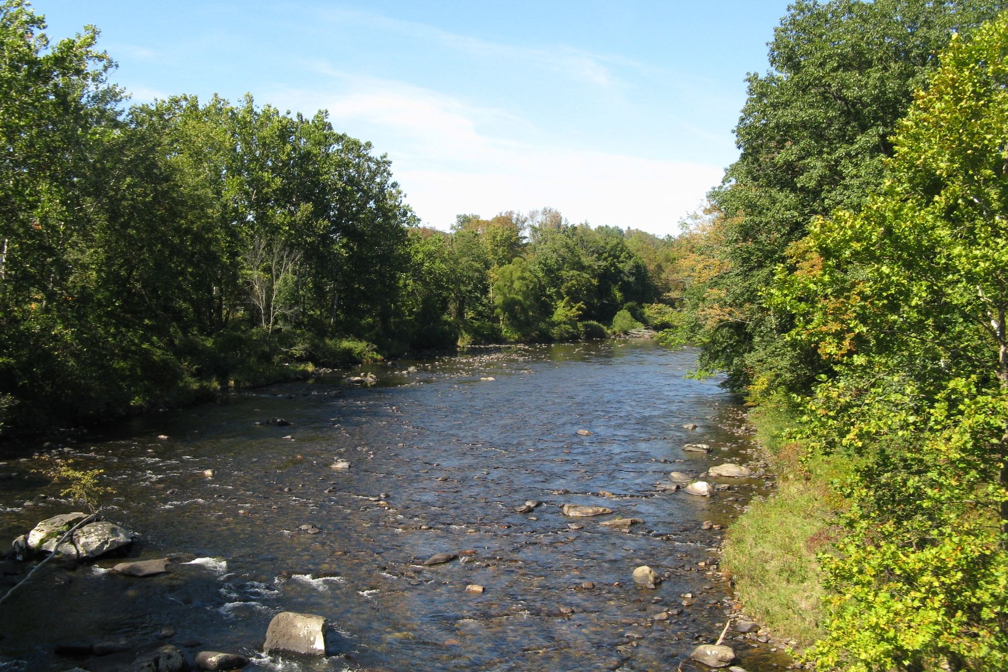
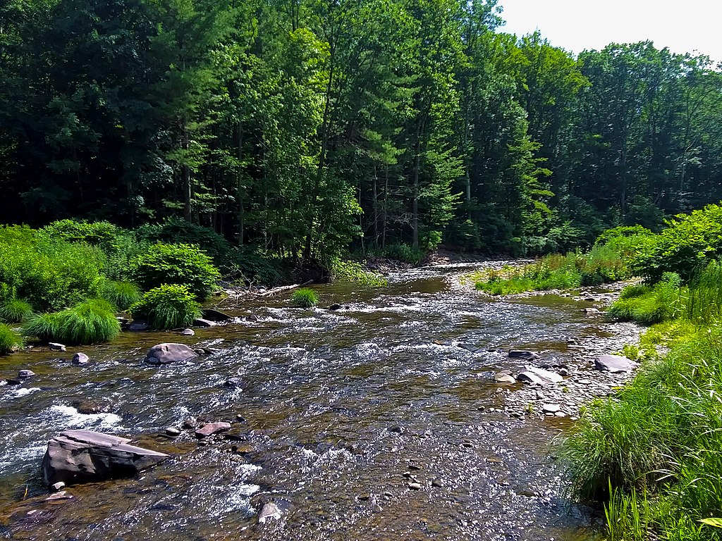
The Hoosic River is a scenic and historically significant waterway that flows through Massachusetts, Vermont, and New York. Originating on the western slopes of North Mountain in Massachusetts, the river's main stem begins in Cheshire, flowing northward through Adams and North Adams. It then continues through Williamstown, MA; Pownal, VT; and several New York towns before joining the Hudson River at Lock 4 of the Champlain Canal near Stillwater, NY. The river's total length is approximately 70 miles.
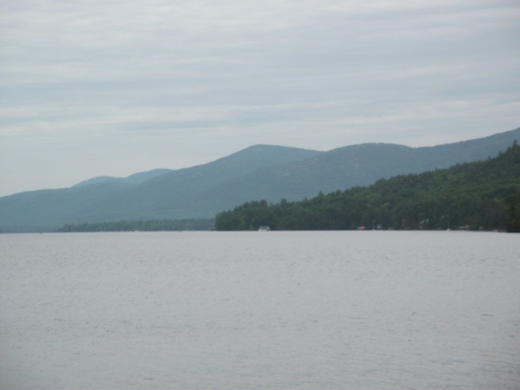
Paddling opportunities on the Hoosic range from calm flatwater sections to challenging whitewater, offering something for all skill levels. The river can be divided into several distinct sections, each with its own character. From North Adams to Williamstown, paddlers enjoy a scenic 4-mile stretch with occasional swift water and beautiful views of Mount Greylock and the Green Mountains. As the river enters Vermont and New York, it provides longer stretches of flatwater paddling interspersed with some rapids.
The difficulty of the Hoosic varies greatly, from easy Class I flatwater to expert-level Class V rapids in the Schaghticoke Gorge near Valley Falls, NY. Most sections are suitable for intermediate paddlers, with Class II-III rapids being common in certain areas. However, the river's character can change dramatically with water levels, so paddlers should always check conditions before embarking.
Spring and fall are typically the best seasons for paddling the Hoosic, as water levels are generally higher and more reliable. Summer can offer pleasant conditions, but some sections may become too low for enjoyable paddling. The river is known for its fast-draining nature, so it's best paddled shortly after rainfall or during seasonal high water periods.
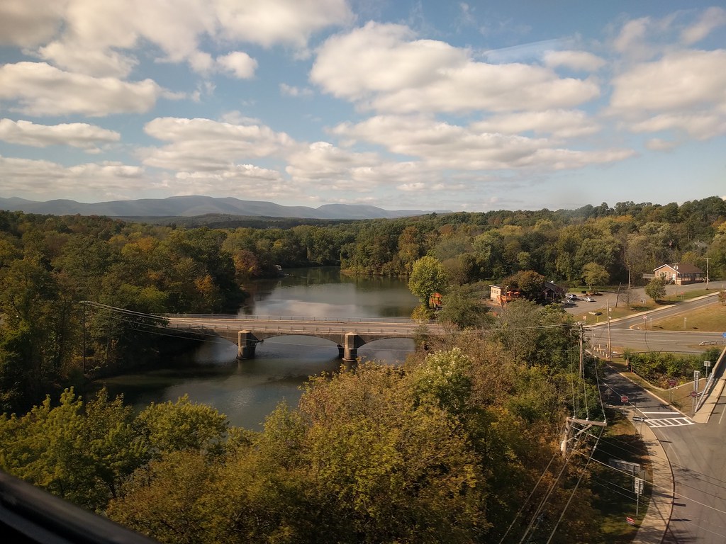
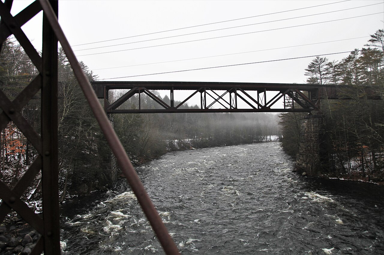
The Hoosic River valley is home to diverse wildlife, including numerous bird species, making it an excellent destination for nature enthusiasts. Paddlers can expect to see a variety of landscapes, from wooded areas to rural farmland and small towns. Key landmarks along the river include the historic Buskirk covered bridge, Eagle Bridge, and several dams and hydroelectric facilities. The river passes through or near several notable towns, including North Adams and Williamstown in Massachusetts, and Hoosick Falls in New York.
Access points are plentiful, with over 27 put-in and take-out locations along the river's course. Some popular access points include Ashton Avenue in North Adams, Lauren's Launch in Williamstown, and various locations in Hoosick Falls and Schaghticoke.
The Hoosic River holds significant historical and cultural importance, having played a role in early colonial conflicts and later industrial development. Today, it serves as a valuable recreational resource and is the focus of various conservation efforts.
Safety considerations include being aware of water levels, avoiding paddling near dams, and exercising caution in the more challenging whitewater sections. Some areas, particularly around dams and in the Schaghticoke Gorge, should only be attempted by expert paddlers.
For those interested in multi-day trips, the Hoosic offers the possibility of paddling from North Adams to Hoosick Falls, a journey of about 30.5 miles that can be broken into shorter segments if desired. This trip provides a comprehensive experience of the river's varied character and the beautiful landscapes of the Berkshires and surrounding areas.
Curated routes
Hand-picked by the PaddleWays team, with put-ins, take-outs, paddle times and the hazards along the way.
RouteClass II
RouteClass II
RouteFlatwater
RouteFlatwater
RouteFlatwater
Hazards
No paddler has reported a hazard here yet, so these are the dams, falls and big rapids on our map. Hazards change with flows and storms, so check them before you launch.
From the community
Nobody has shared a trip on Hoosic River yet. Paddle it, then tell the next paddler how it went.
See exactly where the public can get on and off the river. Launch points and boat ramps are paired with PaddleWays' public land data so you know where you can legally land.
Public shoreline
10%of the river's shoreline is public
Most of the riverbank is private. Launch, land and camp only at public access points.
Flows, weather and a route-by-route verdict, so you know which stretch of the Hoosic River is worth paddling today.
All Flow Stations
Live flows, marked hazards and fresh trip reports from paddlers who were just on the water, all in one place.





Every user gets free access to launch points, boat ramps, and public property parcels.

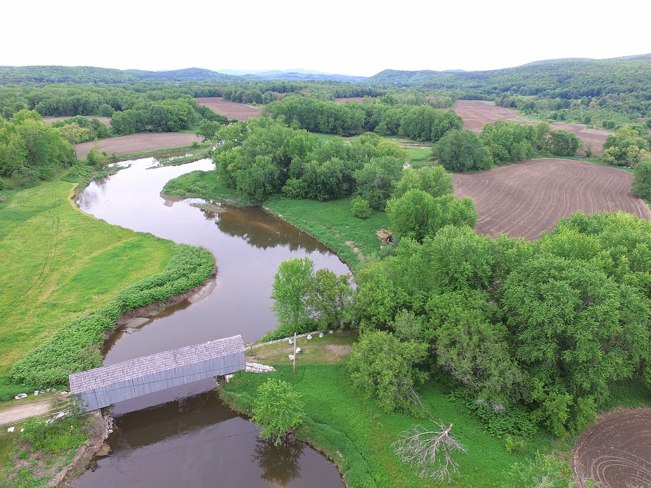

Loading popular cities...
PaddleWays gives you everything you need to plan smarter, paddle better, and own every trip from first launch to takeout.