Curated by PaddleWays
Long Pond
- Lake
- 1 hazard marked
Long Pond
- Lake
- 1 hazard marked
- Curated route
- 1
- Trip report
- 1
- Hazard marked
- 1
- Public shoreline
- 100%
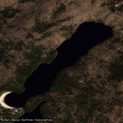
Long Pond is the largest of four neighboring lakes within Grafton Lakes State Park in Rensselaer County, covering 113 acres. This long and narrow body of water lives up to its name, providing ample paddling opportunities in a forested state park setting just outside the Albany region.
**Access and Facilities** The pond offers multiple launch points for hand-carried watercraft. Primary access is available off North Long Pond Road and near the park's main beach area off Parkway Road. A day-use fee applies during the season, though the launch remains open year-round. Parking accommodates approximately 25 cars and trailers. Boat rentals are available on-site, making this an accessible destination for those without their own equipment.
**Paddling Character** With electric motors only permitted, Long Pond maintains a peaceful atmosphere ideal for paddling. The elongated shape provides approximately 2.4 miles of shoreline to explore, offering distance for exercise while remaining manageable for beginners. The pond's configuration creates a sense of intimacy despite its 113-acre size, as paddlers can explore both open water and the narrower sections that give the pond its distinctive character.
**Scenery and Wildlife** The forested surroundings create a natural setting characteristic of the Adirondack foothills. Paddlers can expect typical northeastern woodland wildlife, including various waterfowl and songbirds along the shoreline. The park's network of trails provides opportunities to combine paddling with hiking.
**Fishing Notes** Long Pond supports warmwater fishing opportunities, though specific stocking information should be confirmed with the DEC. The electric-motor-only restriction helps maintain fish habitat quality.
**Nearby Attractions** Long Pond is part of a larger recreational complex including Mill Pond, Second Pond, Shaver Pond, and Dunham Reservoir, all within Grafton Lakes State Park. This allows paddlers to explore multiple waters in a single visit, with the park offering over 25 miles of trails connecting these various water bodies.
Curated routes
Popular routes to paddle
Hand-picked by the PaddleWays team, with put-ins, take-outs, paddle times and the hazards along the way.
Hazards
Hazards on Long Pond
No paddler has reported a hazard here yet, so these are the dams, falls and big rapids on our map. Hazards change with flows and storms, so check them before you launch.
From the community
Long Pond trip reports
Real trips from PaddleWays paddlers: which route they ran, how the water was, and what to watch for.
- Trip reports
- 1
- Most paddled route
- Long Pond
Loading trip reports
PaddleWays paddler
Grafton Lake 2
Water access & public shoreline
See exactly where the public can get on and off the water. Launch points and boat ramps are paired with PaddleWays' public land data so you know where you can legally land.
Public shoreline
100%of the lake's shoreline is public
- Public
- 100%
- Private
- 0%
Largest public stretches
- Grafton Lakes State Park
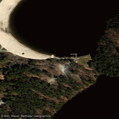
Long Pond Boat Ramp
Boat Ramp
North Long Pond Road Boat Ramp
Boat Ramp
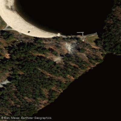
Second Pond Boat Ramp
Boat Ramp
Paddling conditions (10 day forecast)
Weather, wind and a verdict for each route, so you know if Long Pond is worth paddling today.
No forecast data available.
Paddle smarter with real-time insights
Live flows, marked hazards and fresh trip reports from paddlers who were just on the water, all in one place.







Find Places to Paddle

Over 400,000 Places to Paddle
Every user gets free access to launch points, boat ramps, and public property parcels.



Paddling near Long Pond

Hudson River
New Jersey, New York
20.7 miles away
Mohawk River
New York
64.3 miles away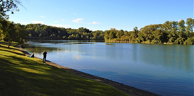
Schoharie Creek
New York
48.7 miles away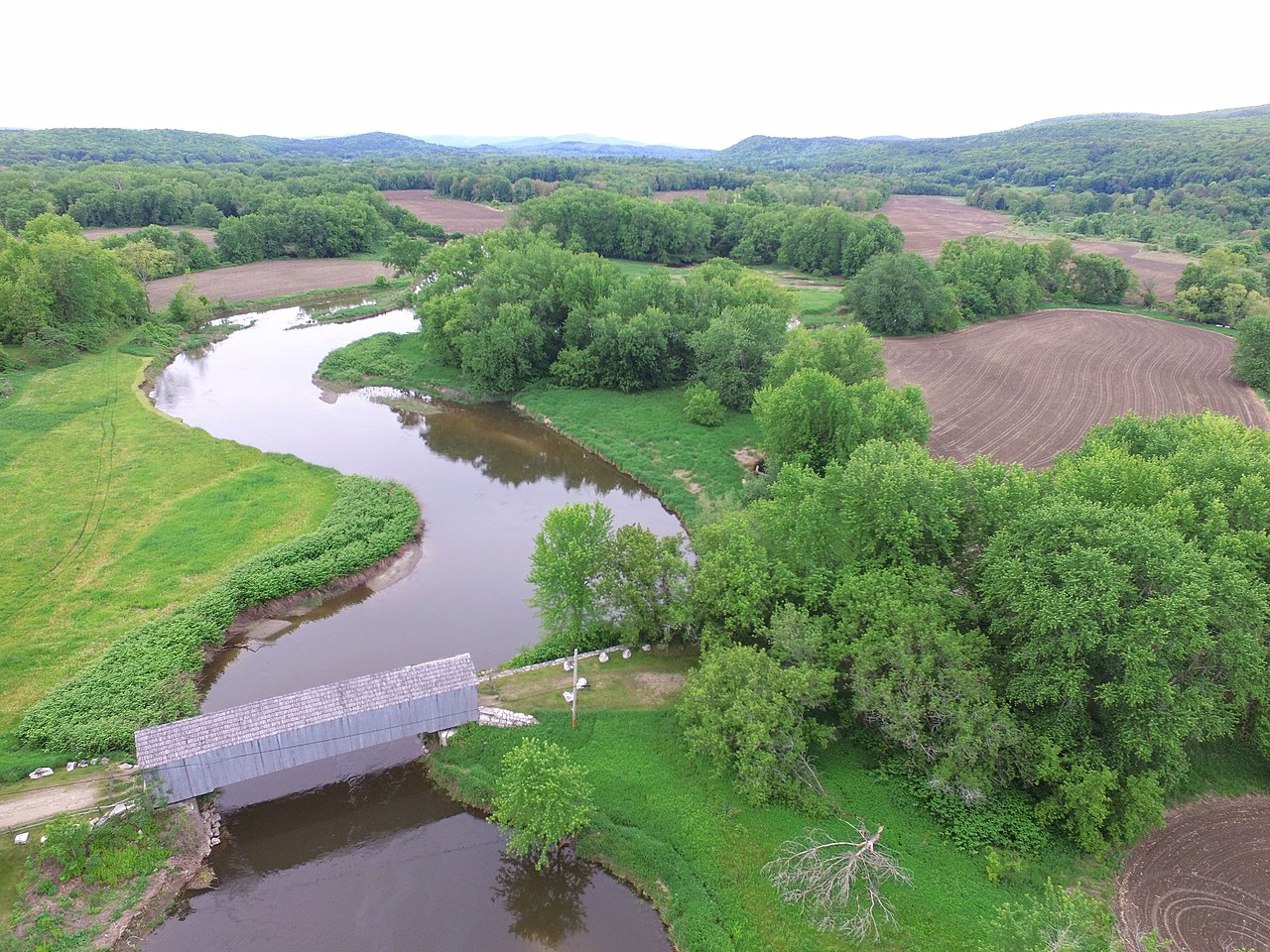
Housatonic River
Connecticut, Massachusetts
63.6 miles away
Lake George
New York
58.2 miles away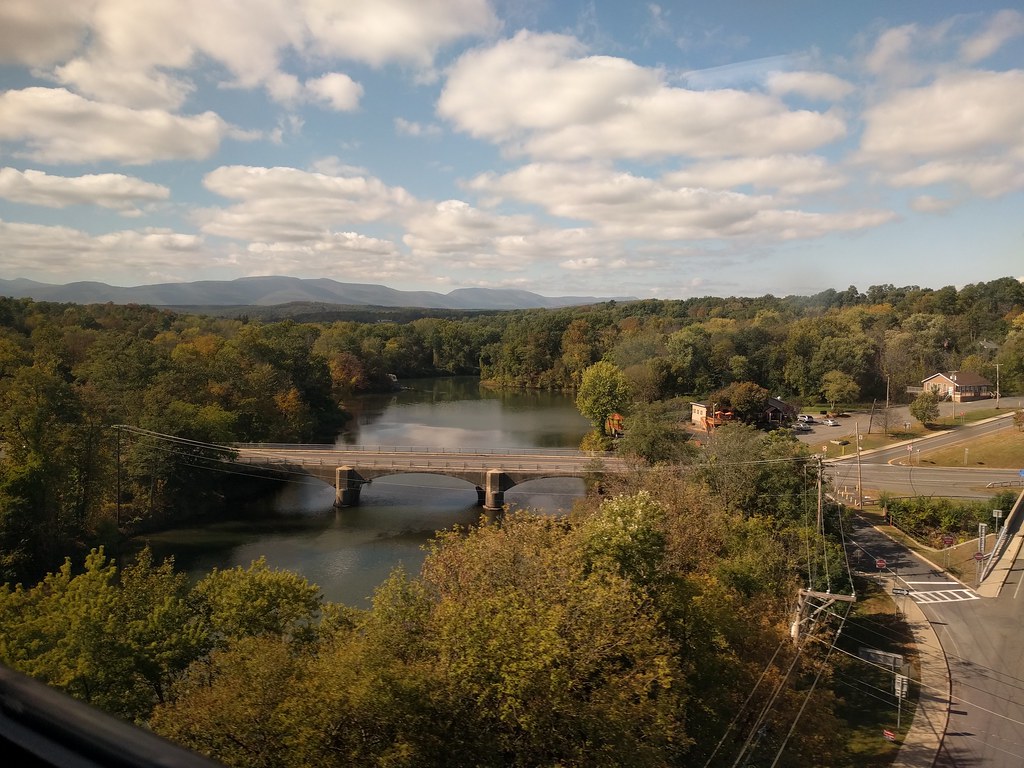
Catskill Creek
New York
43.4 miles away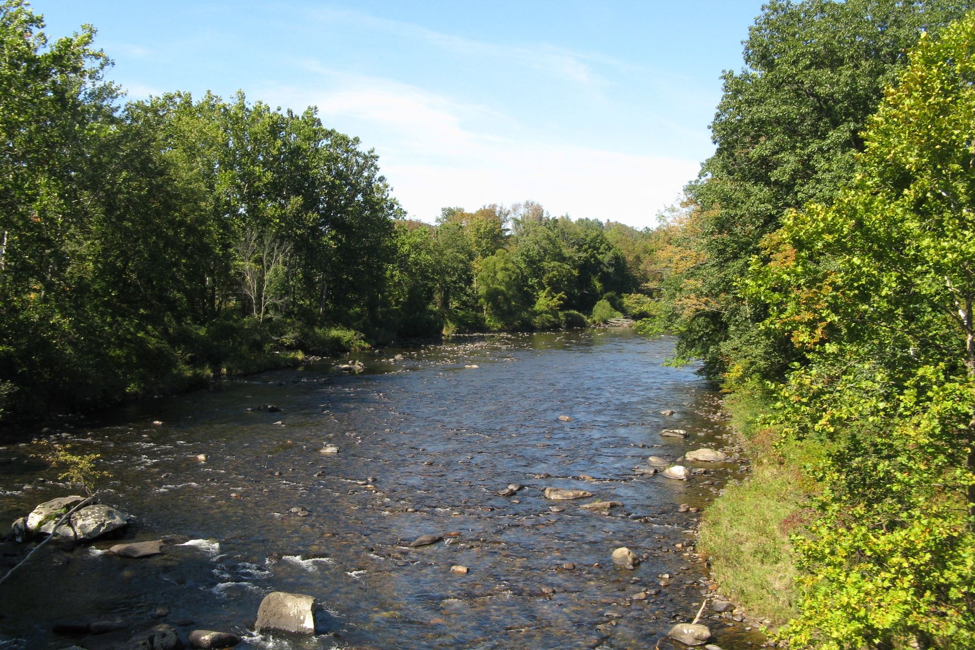
Westfield River
Massachusetts
45 miles away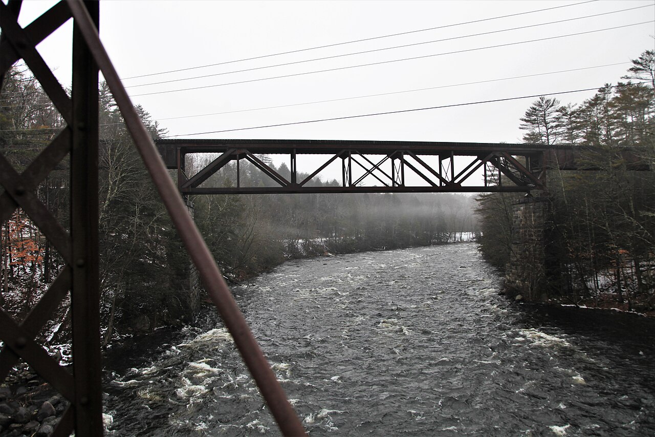
Sacandaga River
New York
52.9 miles away
Otter Creek
Vermont
69.5 miles away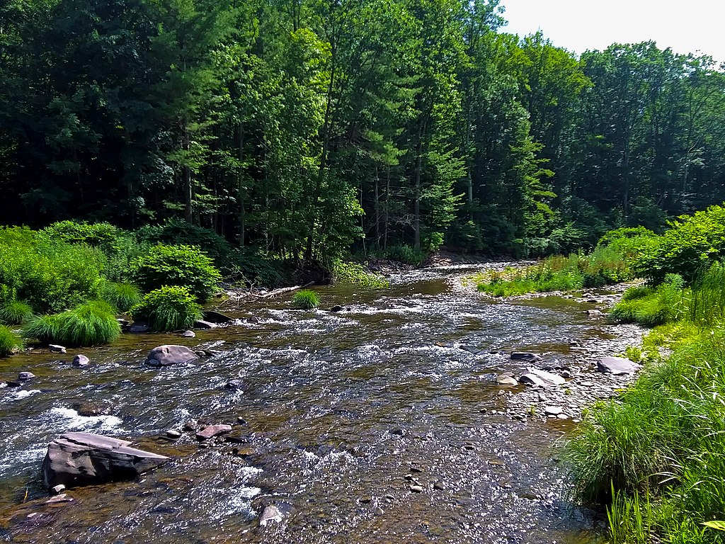
Esopus Creek
New York
70 miles awayExplore New York waters
Top paddling waters
Popular Cities
Loading popular cities...
Explore near Long Pond
Paddling routes
Access points
Nearby waters
More in New York

Smarter Paddling Starts in the App.
PaddleWays gives you everything you need to plan smarter, paddle better, and own every trip from first launch to takeout.