Curated by PaddleWays
RouteClass II–III
- Distance
- 1.9 mi
- Paddle time
- ~0.5 hrs
- Put-in → take-out
- Blue Factory Rd Access → Route 351 Access
Challenging rapids below waterfall, scout first
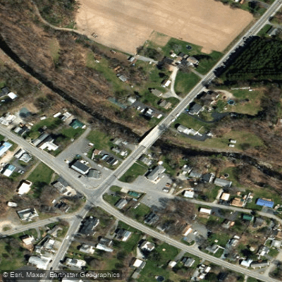
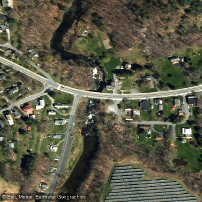
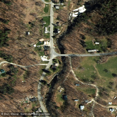
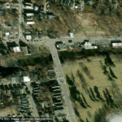
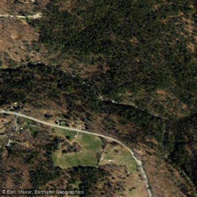
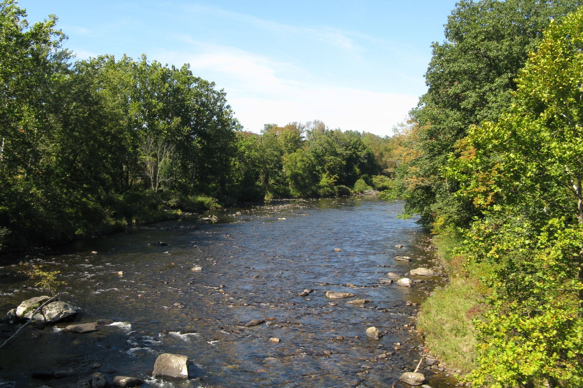
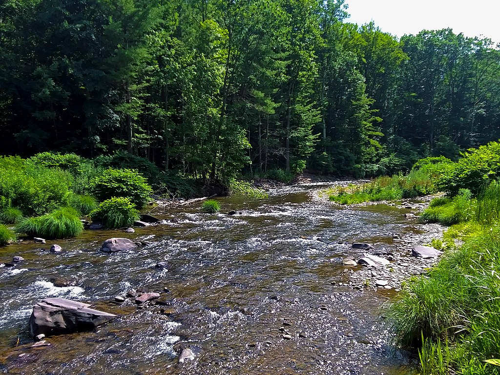
The Poesten Kill is a 26.2-mile creek that flows through Rensselaer County in eastern New York. Originating at Dyken Pond in the Petersburg Mountains, it travels westward through rural and increasingly urban landscapes before joining the Hudson River in Troy. The river carves through clay and shale, creating dramatic features like the 175-foot Mount Ida Falls and the scenic Poesten Kill Gorge near its mouth.
Paddlers can experience a range of whitewater on the Poesten Kill, from calm Class I sections to challenging Class V rapids. The most popular run is the 7-mile stretch from Eagle Mills to Troy, offering Class I-IV rapids suitable for intermediate to advanced paddlers. More experienced kayakers may attempt the intense 2-mile Eagle Mills to Waterfall section, featuring Class III-V+ whitewater. For a milder trip, the 2-mile Poestenkill Gorge section provides Class II-III rapids in a scenic setting.
Water levels are typically best in spring during snowmelt and after heavy rains. Summer paddling is possible but may require navigating shallow rocky sections. The river is lined with hemlock, maple and oak forests, providing habitat for wildlife like deer, foxes and various bird species.
Key landmarks include Barberville Falls, an impressive 100-foot cascade about 8 miles from the Hudson, and the historic Mount Ida Falls in Troy. Primary access points are found in Eagle Mills, Poestenkill, and Troy. Paddlers should be aware of man-made hazards like old mill dams and use caution in the gorge sections.
The Poesten Kill played a significant role in early American industry, powering numerous mills and factories along its banks in the 18th and 19th centuries. Remnants of this industrial heritage can still be seen, particularly near Troy. Today, the river provides recreational opportunities while remaining an important ecological and historical resource for the region.
For more adventurous paddlers, a multi-day trip could combine runs on different sections of the Poesten Kill, potentially linking with paddles on the nearby Hudson River. However, most descents are completed as day trips due to the river's relatively short length. Paddlers should check water levels, scout unknown rapids, and be prepared for technical whitewater in many sections. While some calm stretches exist, much of the Poesten Kill requires solid boat control and self-rescue skills. As always, wearing proper safety gear and paddling within one's ability level is crucial on this dynamic New York waterway.
Curated routes
Hand-picked by the PaddleWays team, with put-ins, take-outs, paddle times and the hazards along the way.
RouteClass II–III
RouteClass II–III
RouteClass I–IV
Hazards
No paddler has reported a hazard here yet, so these are the dams, falls and big rapids on our map. Hazards change with flows and storms, so check them before you launch.
From the community
Nobody has shared a trip on Poesten Kill yet. Paddle it, then tell the next paddler how it went.
See exactly where the public can get on and off the river. Launch points and boat ramps are paired with PaddleWays' public land data so you know where you can legally land.
Public shoreline
1%of the river's shoreline is public
Most of the riverbank is private. Launch, land and camp only at public access points.
Flows, weather and a route-by-route verdict, so you know which stretch of the Poesten Kill is worth paddling today.
No forecast data available.
Live flows, marked hazards and fresh trip reports from paddlers who were just on the water, all in one place.





Every user gets free access to launch points, boat ramps, and public property parcels.


Loading popular cities...
PaddleWays gives you everything you need to plan smarter, paddle better, and own every trip from first launch to takeout.