Curated by PaddleWays
RouteFlatwater
- Distance
- 12.8 mi
- Paddle time
- ~4.5 hrs
- Best for
- Beginners
- Put-in → take-out
- Salem Road Access → Titicus River Access
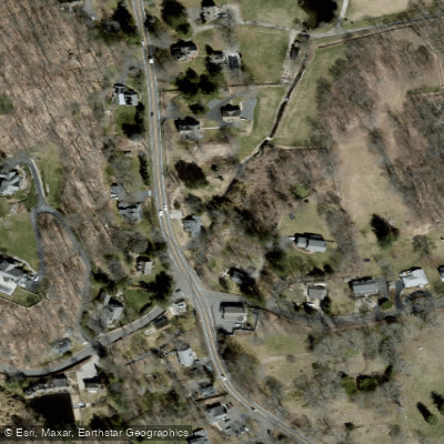
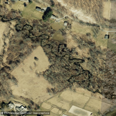
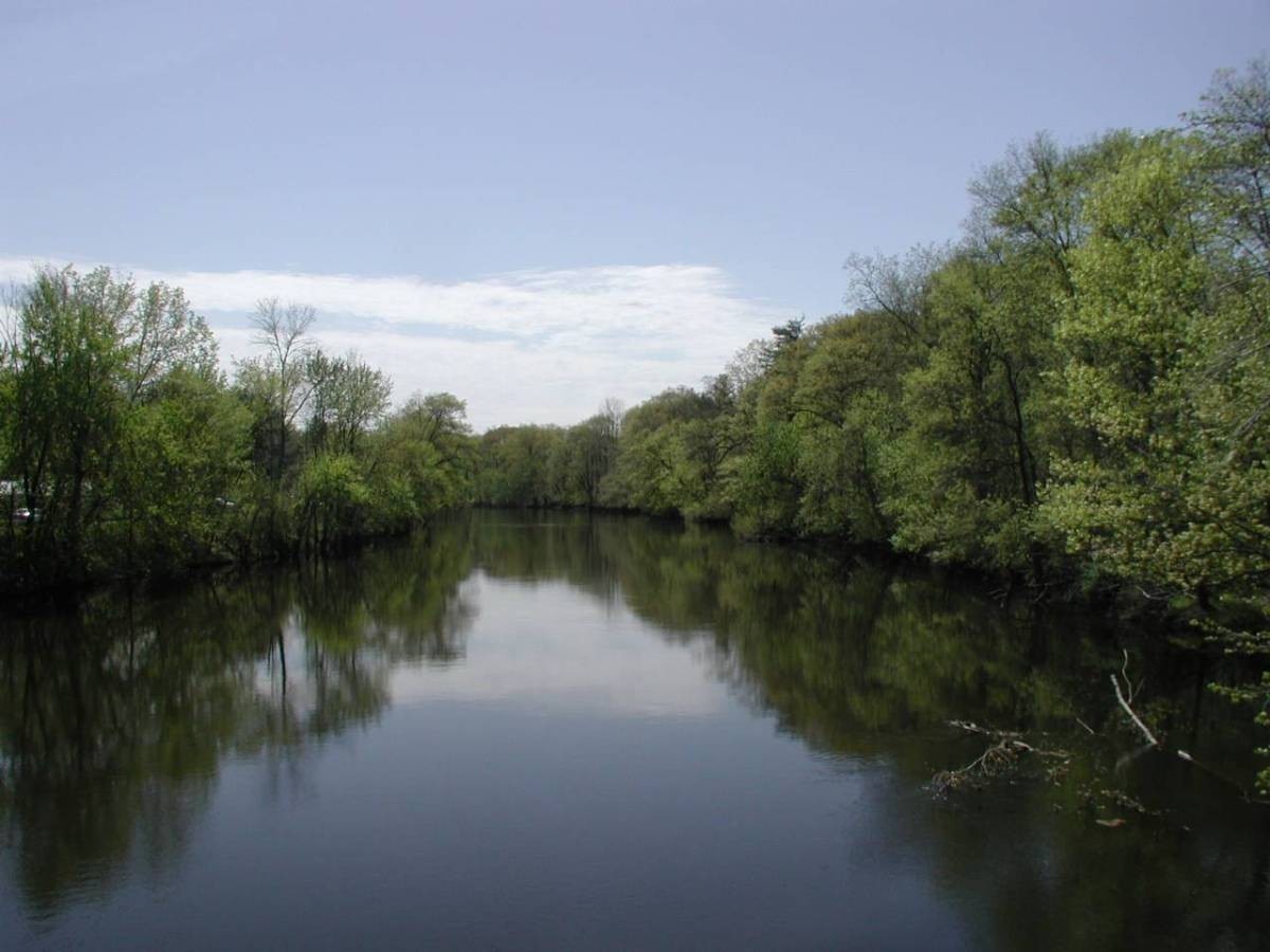
The Titicus River is a small but scenic waterway that flows through southwestern Connecticut and southeastern New York. Originating in Ridgefield, Connecticut, the river flows southwest for 8.5 miles before emptying into the Titicus Reservoir in North Salem, New York. About half a mile from its source, the Titicus joins with Kiahs Brook, its main tributary.
This river offers a peaceful paddling experience suitable for beginners and intermediate paddlers. The entire length can be paddled as a day trip, with the river divided into two main sections - the longer Connecticut portion and the shorter New York stretch. The river is primarily flatwater, making it ideal for canoes and recreational kayaks. Paddlers can expect a tranquil journey through beautiful New England countryside. The river's course closely follows Route 116, providing easy access points. While not known for whitewater features, the Titicus offers a serene float through forested areas and pastoral landscapes.
The best paddling season is typically spring through fall, with consistent flow provided by natural springs ensuring year-round opportunities. However, paddlers should check water levels, especially during dry summer months. Wildlife enthusiasts may spot various bird species and potentially deer or small mammals along the wooded banks. The river is also known for its trout population, making it popular among fly fishers.
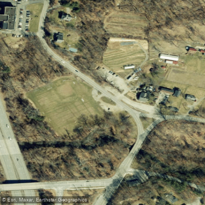
Key access points include put-ins near the river's source in Ridgefield, CT, and take-outs at the Connecticut-New York border or the Titicus Reservoir. The towns of Ridgefield, CT and North Salem, NY are the nearest population centers.
As part of New York City's water supply system, the Titicus River and Reservoir are subject to specific regulations. Paddlers should be aware of water quality monitoring efforts, particularly for E. coli levels. A New York State Fishing License and a free New York City DEP Watershed permit are required for fishing in the New York section.
While primarily a day-trip destination, adventurous paddlers could potentially arrange a multi-day journey by combining the Titicus with nearby waterways or exploring the reservoir. Safety considerations include being aware of other river users, particularly anglers, and respecting private property along the banks. As always, paddlers should wear appropriate safety gear and be prepared for changing weather conditions.
The Titicus River, while small, plays a significant role in the region's water supply and offers a delightful paddling experience through a picturesque slice of the Northeast.
Curated routes
Hand-picked by the PaddleWays team, with put-ins, take-outs, paddle times and the hazards along the way.
RouteFlatwater
Hazards
No paddler has reported a hazard here yet, so these are the dams, falls and big rapids on our map. Hazards change with flows and storms, so check them before you launch.
From the community
Nobody has shared a trip on Titicus River yet. Paddle it, then tell the next paddler how it went.
See exactly where the public can get on and off the river. Launch points and boat ramps are paired with PaddleWays' public land data so you know where you can legally land.
Public shoreline
1%of the river's shoreline is public
Most of the riverbank is private. Launch, land and camp only at public access points.
Flows, weather and a route-by-route verdict, so you know which stretch of the Titicus River is worth paddling today.
All Flow Stations
Live flows, marked hazards and fresh trip reports from paddlers who were just on the water, all in one place.





Every user gets free access to launch points, boat ramps, and public property parcels.

Loading popular cities...
PaddleWays gives you everything you need to plan smarter, paddle better, and own every trip from first launch to takeout.