Curated by PaddleWays
RouteFlatwater
- Distance
- 5.7 mi
- Paddle time
- ~2 hrs
- Best for
- Beginners, experienced paddlers
- Put-in → take-out
- Merchants Millpond Access → Gatesville Creekside Park Access
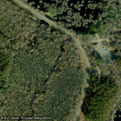
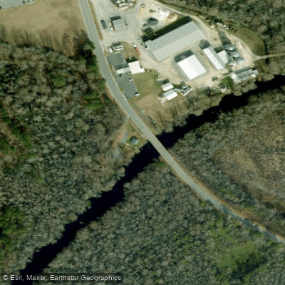
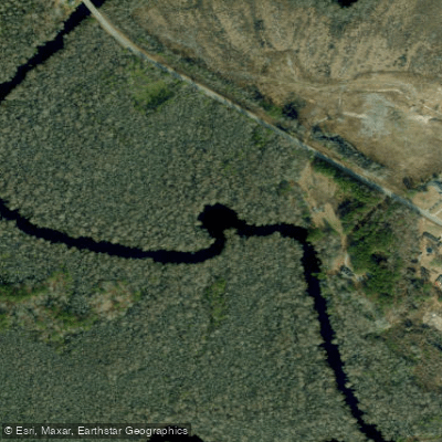
Bennett's Creek flows through the Albemarle region of northeastern North Carolina, originating just below the dam at Merchants Millpond State Park and traveling approximately 21 miles to its confluence with the Chowan River. This blackwater creek system winds through Gates County and the surrounding lowland areas, characterized by mature tree canopies, swamp environments, and the distinctive tannin-stained waters typical of North Carolina's coastal plain rivers.
The Bennett's Creek Paddle Trail represents one of the region's premier flatwater paddling experiences, managed in part by Merchants Millpond State Park. The established trail begins at the canoe launch site below Merchants Millpond dam and extends downstream through Lassiter Swamp before reaching the town of Gatesville, where an eastern put-in at the Gatesville dock provides an alternative access point. Paddlers can continue beyond Gatesville to reach camping platforms on Holladay Island in the Chowan River or access Cannon's Ferry Heritage Park.
The creek transitions from the upper swamp sections near Lassiter Swamp into more defined channels as it approaches Gatesville. The state park manages several camping platforms along the route, including structures built over the water and elevated platforms on high ground a few miles north of Gatesville. These facilities support multi-day expeditions, with canoe-in campers required to check in at the Merchants Millpond State Park Visitor Center at least four hours before park closing.
Paddling difficulty remains consistently easy throughout the system, suitable for beginners seeking extended flatwater trips. The creek's calm waters flow beneath canopies of mature hardwoods, past beaver lodges, and through pristine swamp environments that shelter diverse wildlife. The surrounding landscape includes both natural wetland areas and views of neighboring farmland, reflecting the region's agricultural heritage.
Access points include the primary launch below Merchants Millpond dam on SR 1403 (Millpond Road) and the Gatesville dock in Gates County. Trip durations vary widely depending on the chosen segment, ranging from half-day paddles to multi-day camping expeditions utilizing the platform system. The creek connects paddlers to the broader Albemarle Regional Paddle Trail network, which encompasses ten counties and 22 camping platforms across three counties.
Rocky Hock Creek and Bennett's Millpond, located in Chowan County approximately seven miles from Edenton, represent additional paddling opportunities in the Bennett's Creek watershed. This millpond area maintains historical significance as the site of the original mill operations that gave Merchants Millpond its name.
For platform reservations in Chowan County, including those on Holladay Island where Bennett's Creek meets the Chowan River, paddlers contact the Edenton-Chowan Recreation Department.
Curated routes
Hand-picked by the PaddleWays team, with put-ins, take-outs, paddle times and the hazards along the way.
RouteFlatwater
Hazards
No paddler has reported a hazard here yet, so these are the dams, falls and big rapids on our map. Hazards change with flows and storms, so check them before you launch.
From the community
Nobody has shared a trip on Bennetts Creek yet. Paddle it, then tell the next paddler how it went.
See exactly where the public can get on and off the river. Launch points and boat ramps are paired with PaddleWays' public land data so you know where you can legally land.
Public shoreline
35%of the river's shoreline is public
Most of the riverbank is private. Launch, land and camp only at public access points.
Flows, weather and a route-by-route verdict, so you know which stretch of the Bennetts Creek is worth paddling today.
No forecast data available.
Live flows, marked hazards and fresh trip reports from paddlers who were just on the water, all in one place.





Every user gets free access to launch points, boat ramps, and public property parcels.
Loading popular cities...
PaddleWays gives you everything you need to plan smarter, paddle better, and own every trip from first launch to takeout.