Nottoway River
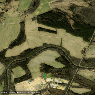
Nottoway River
- Boat Ramps
- 7
- Access Points
- 8
- Campsites
- 2
The Nottoway River is a scenic blackwater river that flows through southeastern Virginia. Originating in Nottoway County, it travels approximately 130 miles southeast before joining the Blackwater River at the Virginia-North Carolina border to form the Chowan River. The Nottoway is part of the larger Chowan River Basin, which ultimately drains into Albemarle Sound. Paddlers can enjoy a variety of experiences on the Nottoway, from whitewater sections near its headwaters to peaceful flatwater stretches as it meanders through Virginia's coastal plain. The river's difficulty ranges from Class I-III rapids in the upper sections to flatwater paddling in the lower reaches, suitable for beginners to intermediate paddlers.
The Fall Line Section, located about 40 miles downstream from Nottoway Falls, offers the most challenging whitewater. Here, paddlers encounter Class II-III rapids requiring solid boat control and the ability to read water. Downstream, the river transitions to a serene blackwater stream, ideal for leisurely paddling and fishing. Spring and fall are optimal paddling seasons, with moderate water levels and comfortable temperatures. Summer can be enjoyable for flatwater sections, while winter offers unique opportunities for experienced paddlers and anglers targeting larger fish.
The Nottoway's ecosystem supports diverse wildlife, including various fish species like Roanoke bass, smallmouth bass, and redear sunfish. Bald cypress trees line the banks, creating a stunning backdrop, especially in the Cypress Bridge Natural Area Preserve. Key landmarks include Nottoway Falls Park, a picturesque spot near the river's headwaters, and the Cypress Bridge Natural Area, known for its ancient cypress trees. The river passes through several small towns, with notable access points at Courtland, Sebrell, and near McKenney.
Historically, the Nottoway River played a crucial role in the region's development, serving as a transportation route and power source for mills. Today, it's valued for its recreational opportunities and as a vital part of Virginia's Scenic Rivers program. Safety considerations include being aware of water levels, especially in the upper sections where rapids can become dangerous at high flows. Fallen trees and submerged obstacles are common, particularly in the lower reaches. Paddlers should also be mindful of tidal influences in the lower sections.
For those seeking multi-day adventures, the lower Nottoway offers excellent opportunities for extended trips, with primitive camping available along the banks. A popular multi-day route runs from Hercules Landing to Courtland, covering about 20 miles of scenic, isolated river. Access points are available throughout the river's course, with notable put-ins at Route 609 bridge, Hercules Landing, and the Old Bridge ramp near Courtland. These access points are typically within a short drive of small Virginia towns, providing convenient logistics for day trips or longer expeditions.
Water access, boat ramps & amenities
Learn how to get on Nottoway River. Uncover great paddling access points, boat ramps, and all the facilities you need for an unforgettable day on the water. Some locations shown may border or include private property. Always check property boundaries and applicable regulations before visiting. PaddleWays's Public & Private Land layer can help you plan your access with confidence.
Paddle smarter with real-time insights
Whether you're en route and conditions shift or you're looking for the best spot based on current flows, we enable you to make informed decisions on the fly.








Find Places to Paddle

Over 400,000 Places to Paddle
Every user gets free access to launch points, boat ramps, and public property parcels.


Water and weather conditions (10 day forecast)
See the best times to paddle Nottoway River and check the forecast before you go.
NOTTOWAY RIVER NEAR RAWLINGS, VA
All Flow Stations
Paddling near Nottoway River

James River
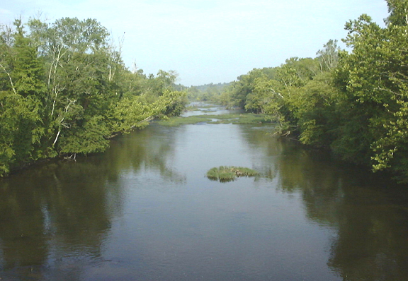
Appomattox River
Old Town Creek
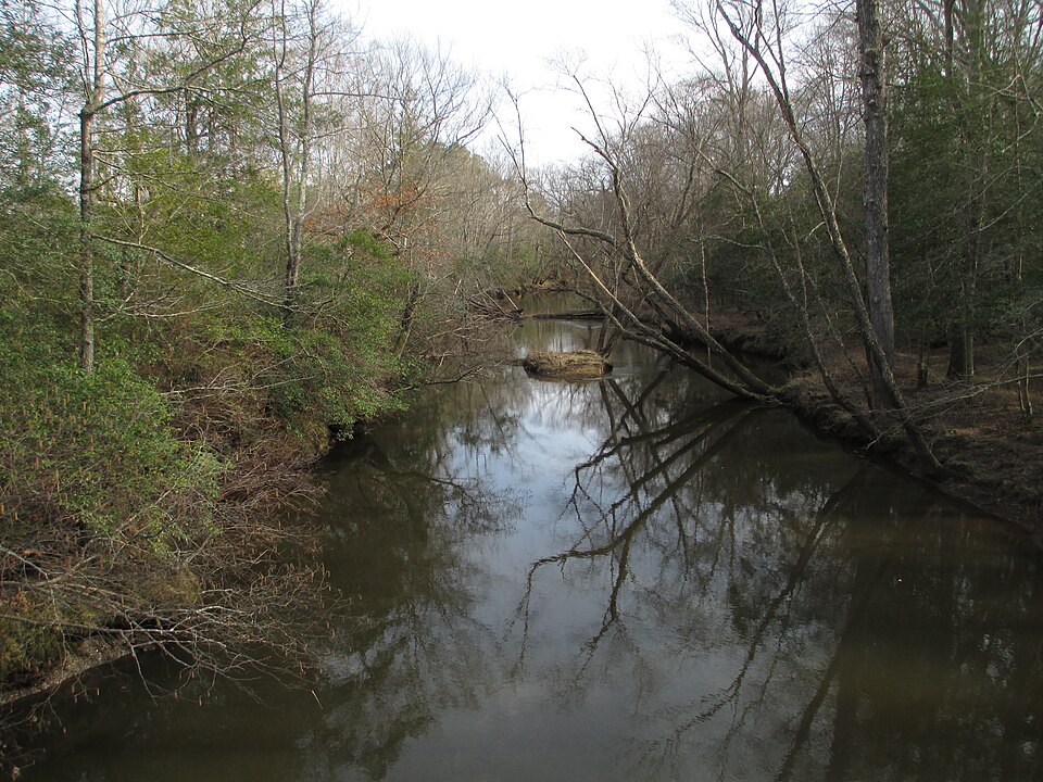
Mattaponi River
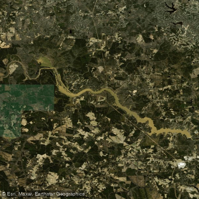
Lake Chesdin
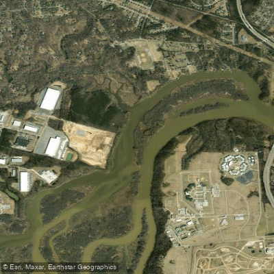
Port Walthall Channel
Blackwater River
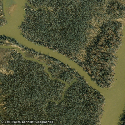
Pye Alley
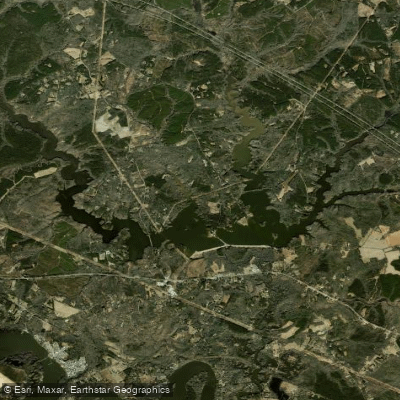
Diascund Creek Reservoir
Explore North Carolina waters
Top paddling waters
Popular Cities
Loading popular cities...
Explore near Nottoway River
Access points
Nearby waters
More in North Carolina

Smarter Paddling Starts in the App.
Paddleways gives you everything you need to plan smarter, paddle better, and own every trip from first launch to takeout.