Nansemond River
- Saltwater
- Tidal river
Nansemond River
- Saltwater
- Tidal river
- Sq. miles
- 8
- Boat Ramps
- 2
- Access Points
- 1
- Campsites
- 0
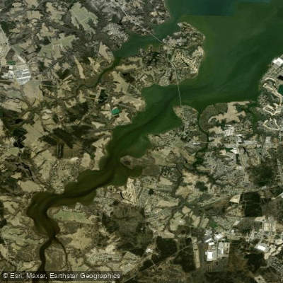
The Nansemond River is a tidal river in Suffolk, Virginia, offering several developed public access points for paddlers. Key launch sites include Constant’s Wharf Park & Marina, which provides a kayak launch for exploring the upper river approximately 23 miles from its mouth. Sleepy Hole Park features a 371-foot-long pier with a floating canoe and kayak launch, providing direct access to the river less than two miles from its mouth; this area is being shallow, which can be advantageous for novice paddlers. Bennett’s Creek Park offers a boat ramp and a kayak dock, accessing the river via Bennett's Creek about two miles from the mouth. Access to the river is also possible via tributaries like Cedar Creek and Chuckatuck Creek from Lone Star Lakes Park, though Cedar Creek is very shallow at low tide. The river is subject to tidal influence, and paddlers should plan accordingly, especially in the shallow feeder creeks. The open water of the Nansemond River itself can get choppy, indicating exposure to wind and potential for boat wake. The river holds historical significance as part of the Captain John Smith Chesapeake National Historic Trail, and paddlers may pass historical sites such as the former home of Planter’s Peanuts founder Amedeo Obici. Facilities at the parks typically include parking, restrooms, and picnic areas. An annual or daily boating permit from the Cities of Portsmouth or Norfolk is required for kayaks on these waters, though it excludes the Lone Star Lakes area. The river is the focus of an annual cleanup event, suggesting ongoing community efforts to maintain its health.
Water access, boat ramps & amenities
Learn how to get on Nansemond River. Uncover great paddling access points, boat ramps, and all the facilities you need for an unforgettable day on the water. Some locations shown may border or include private property. Always check property boundaries and applicable regulations before visiting. PaddleWays's Public & Private Land layer can help you plan your access with confidence.
Paddle smarter with real-time insights
Whether you're en route and conditions shift or you're looking for the best spot based on current flows, we enable you to make informed decisions on the fly.








Find Places to Paddle

Over 400,000 Places to Paddle
Every user gets free access to launch points, boat ramps, and public property parcels.


Tides, wind & water conditions (10 day forecast)
On open water, wind and tide matter as much as the weather. See the best times to paddle Nansemond River and check the marine forecast before you launch.
Loading tide predictions…
Paddling near Nansemond River

James River

Hampton Roads
Stumpy Lake
Harwoods Mill Reservoir
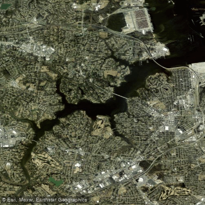
Western Branch
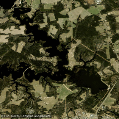
Western Branch Reservoir
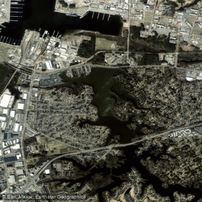
Little Creek Reservoir
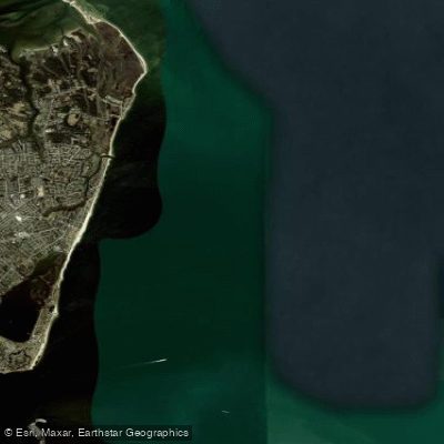
Horseshoe
Eustis Lake
Explore Virginia waters
Top paddling waters
Popular Cities
Loading popular cities...
Explore near Nansemond River

Smarter Paddling Starts in the App.
Paddleways gives you everything you need to plan smarter, paddle better, and own every trip from first launch to takeout.