Western Branch
- Saltwater
- Bay
Western Branch
- Saltwater
- Bay
- Sq. miles
- 2.6
- Boat Ramps
- 2
- Access Points
- 0
- Campsites
- 1
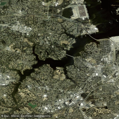
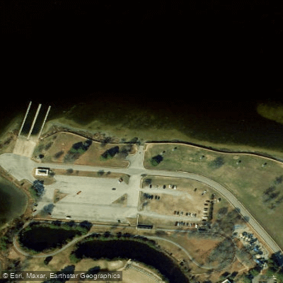
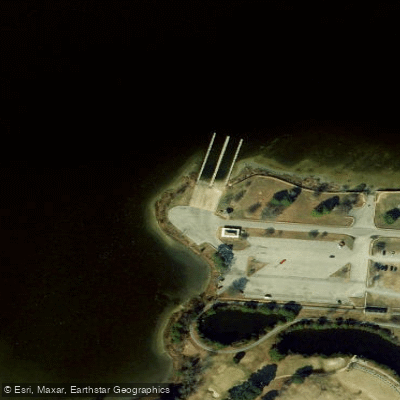
Western Branch refers to a segment of the Elizabeth River in the Tidewater area of Virginia. The primary public access point for paddlers is at Portsmouth City Park, which features a dedicated small-craft launch area. This launch consists of an asphalt ramp leading to a sandy, pebble beach, providing an easy portage of about twenty feet to the water. Paddlers should be cautious of the gravel potentially scratching hulls. The river at this point is wide, with clearer and cleaner water compared to its more western sections. A significant consideration for paddlers is the presence of motorboat traffic, which is fair to heavy, especially during the summer months. While the river is wide enough to steer clear of the main channel, staying aware of boat traffic is necessary for safety. A popular day trip route from this launch involves paddling east towards Norfolk. Key landmarks along this route include the High Street bridge approximately one mile from the put-in and the Western Freeway bridge about two miles further east, beyond which the river diverges. The scenery transitions from residential homes and small marinas to views of industrial terminals on the horizon. The overall character is an urban and industrial river paddle with convenient access. Separately, there is a Western Branch Reservoir located in Suffolk, Virginia. This 1,265-acre lake requires a boat permit from the City of Norfolk for access, which must be obtained ahead of time as they are not sold on-site. The reservoir has a boat ramp off Girl Scout Drive but is largely inaccessible except by boat.
Water access, boat ramps & amenities
Learn how to get on Western Branch. Uncover great paddling access points, boat ramps, and all the facilities you need for an unforgettable day on the water. Some locations shown may border or include private property. Always check property boundaries and applicable regulations before visiting. PaddleWays's Public & Private Land layer can help you plan your access with confidence.
Paddle smarter with real-time insights
Whether you're en route and conditions shift or you're looking for the best spot based on current flows, we enable you to make informed decisions on the fly.








Find Places to Paddle

Over 400,000 Places to Paddle
Every user gets free access to launch points, boat ramps, and public property parcels.


Tides, wind & water conditions (10 day forecast)
On open water, wind and tide matter as much as the weather. See the best times to paddle Western Branch and check the marine forecast before you launch.
Loading tide predictions…
Paddling near Western Branch

James River
Hampton Roads
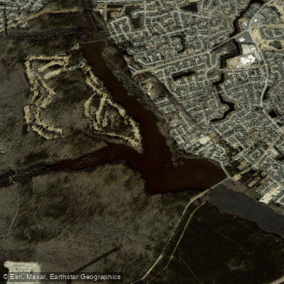
Stumpy Lake
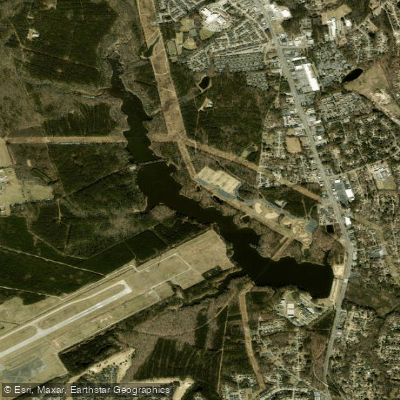
Harwoods Mill Reservoir
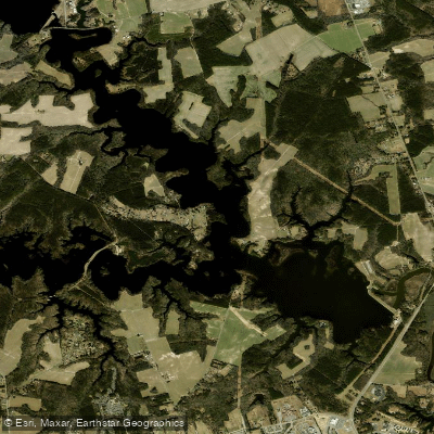
Western Branch Reservoir
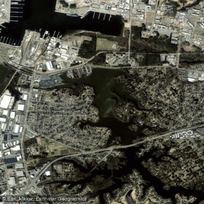
Little Creek Reservoir
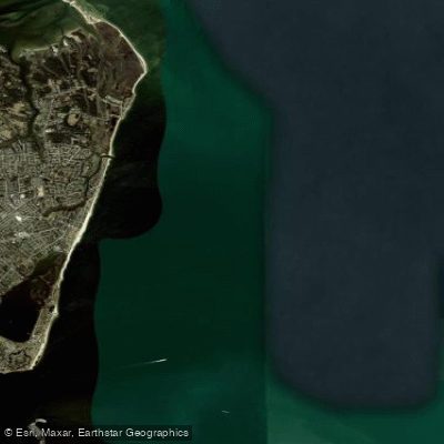
Horseshoe
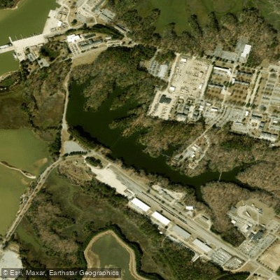
Eustis Lake
Explore Virginia waters
Top paddling waters
Popular Cities
Loading popular cities...
Explore near Western Branch

Smarter Paddling Starts in the App.
Paddleways gives you everything you need to plan smarter, paddle better, and own every trip from first launch to takeout.