Blossie Creek
- Saltwater
- Tidal creek
Blossie Creek
- Saltwater
- Tidal creek
- Sq. miles
- 0
- Boat Ramps
- 0
- Access Points
- 0
- Campsites
- 1
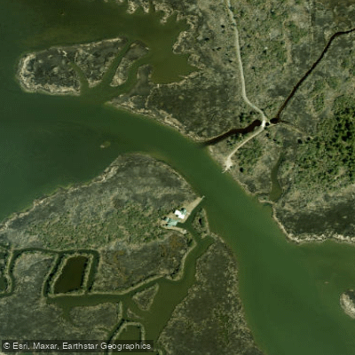
Blossie Creek is a tidal creek located behind the Bodie Island Lighthouse on the Outer Banks of North Carolina. It is part of the Roanoke Sound system and connects to the same body of water as the area behind the Oregon Inlet Coast Guard Station. The creek is a deep cut channel, providing a defined waterway for paddlers. Access for launching is available via a gated access road off the paved entrance road to the Bodie Island Lighthouse. This area features a crushed gravel road leading down to the creek. The lighthouse grounds offer facilities including restrooms and a wheelchair-accessible wood boardwalk from the lighthouse to an observation deck. The paddling environment is a coastal saltwater system with significant exposure to wind and tidal currents, given its proximity to Oregon Inlet and the open sounds. Paddlers share these waters with boat traffic, particularly near the inlet and the channel connecting to Off Island. The area is part of an active shellfish leasing region, so paddlers should be mindful of marked aquaculture gear. The surrounding landscape is typical of the Outer Banks, with marsh grasses and maritime forest near the lighthouse. Wildlife sightings may include various coastal bird species. The water body is classified for shellfishing, indicating specific water quality standards are maintained.
Water access, boat ramps & amenities
Learn how to get on Blossie Creek. Uncover great paddling access points, boat ramps, and all the facilities you need for an unforgettable day on the water. Some locations shown may border or include private property. Always check property boundaries and applicable regulations before visiting. PaddleWays's Public & Private Land layer can help you plan your access with confidence.
Paddle smarter with real-time insights
Whether you're en route and conditions shift or you're looking for the best spot based on current flows, we enable you to make informed decisions on the fly.








Find Places to Paddle

Over 400,000 Places to Paddle
Every user gets free access to launch points, boat ramps, and public property parcels.


Tides, wind & water conditions (10 day forecast)
On open water, wind and tide matter as much as the weather. See the best times to paddle Blossie Creek and check the marine forecast before you launch.
Loading tide predictions…
Paddling near Blossie Creek
Lake Mattamuskeet
Pamlico Sound
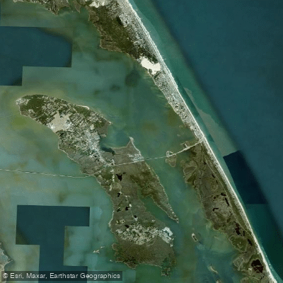
Roanoke Sound
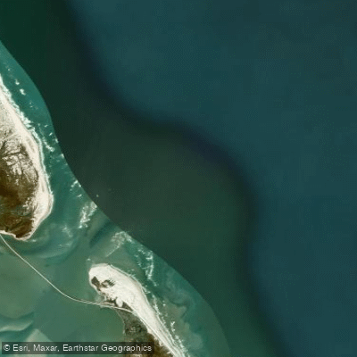
Oregon Inlet
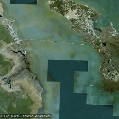
Croatan Sound
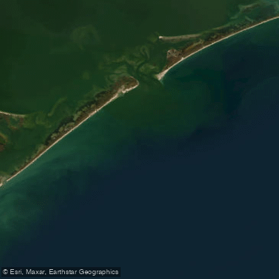
Raleigh Bay
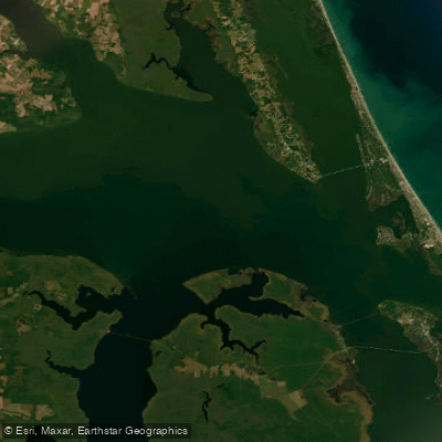
Albemarle Sound
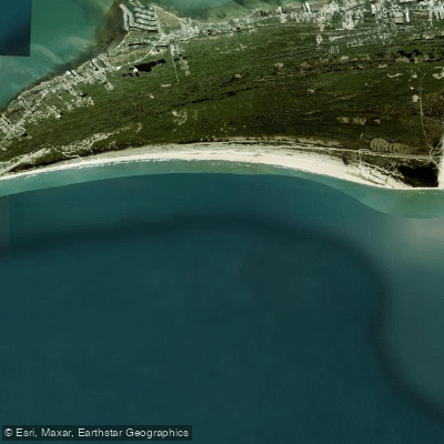
Hatteras Bight
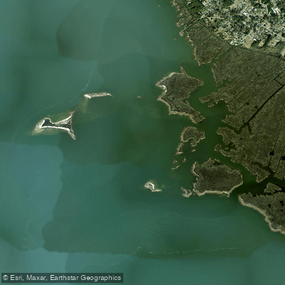
Cedar Bush Bay
Explore North Carolina waters
Top paddling waters
Popular Cities
Loading popular cities...
Explore near Blossie Creek

Smarter Paddling Starts in the App.
Paddleways gives you everything you need to plan smarter, paddle better, and own every trip from first launch to takeout.