Cedar Bush Bay
- Saltwater
- Bay
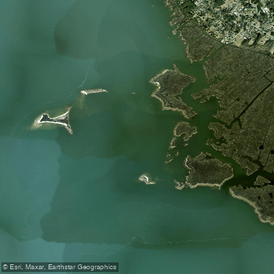
Cedar Bush Bay
- Saltwater
- Bay
- Sq. miles
- 0.4
- Boat Ramps
- 0
- Access Points
- 0
- Campsites
- 1
Cedar Bush Bay is a saltwater bay located on the western side of Roanoke Island in North Carolina's Outer Banks, within the larger Roanoke Sound and Croatan Sound system. It is a coastal feature with direct tidal influence. The bay is situated near other named features such as Broad Creek, Ballast Point, and the Cut Through, a man-made channel. The area is characterized by extensive marshland. For paddlers, access points are not explicitly detailed, but the bay is in proximity to developed areas like Manteo and Manns Harbor, suggesting potential public launches nearby. The bay experiences significant tidal currents, "predator-rich currents," which are a key consideration for trip timing. Paddlers should plan to move with or against the tide to manage effort, as these currents can be strong. The area is also noted for bustling boat traffic, particularly near structures like the Ballast Point docks, requiring vigilance and caution when crossing channels or navigating near marinas. Given its location within the sounds, the bay can be exposed to wind and fetch, especially from the west and south, which can generate chop. There is no surf zone, as it is a protected bay within the sound system. The water body is classified for shellfish harvesting. The aesthetic is typical of the Outer Banks marshes, with grassy wetlands and a mix of open water and narrower creeks. Wildlife likely includes birds and marine species common to the region. The bay's size is quantified as 207.8 acres. There are no indicated restrictions specific to paddling, but general navigation rules and awareness of fishing and powerboat activity are essential for safety.
Water access, boat ramps & amenities
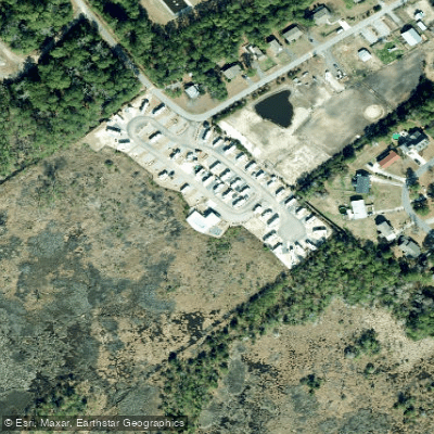
Learn how to get on Cedar Bush Bay. Uncover great paddling access points, boat ramps, and all the facilities you need for an unforgettable day on the water. Some locations shown may border or include private property. Always check property boundaries and applicable regulations before visiting. PaddleWays's Public & Private Land layer can help you plan your access with confidence.
Paddle smarter with real-time insights
Whether you're en route and conditions shift or you're looking for the best spot based on current flows, we enable you to make informed decisions on the fly.








Find Places to Paddle

Over 400,000 Places to Paddle
Every user gets free access to launch points, boat ramps, and public property parcels.


Tides, wind & water conditions (10 day forecast)
On open water, wind and tide matter as much as the weather. See the best times to paddle Cedar Bush Bay and check the marine forecast before you launch.
Loading tide predictions…
Paddling near Cedar Bush Bay
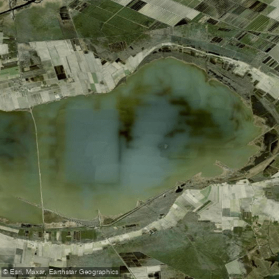
Lake Mattamuskeet
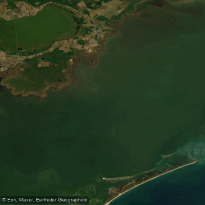
Pamlico Sound
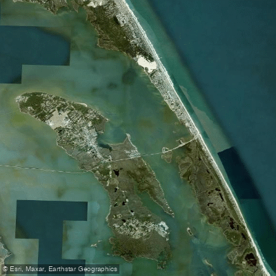
Roanoke Sound
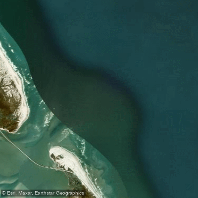
Oregon Inlet
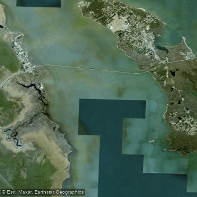
Croatan Sound
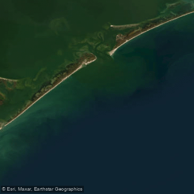
Raleigh Bay
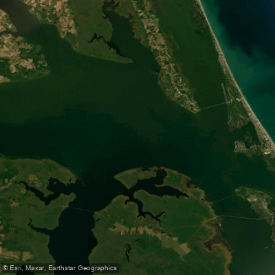
Albemarle Sound
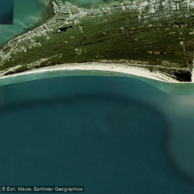
Hatteras Bight
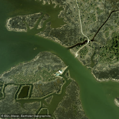
Blossie Creek
Explore North Carolina waters
Top paddling waters
Popular Cities
Loading popular cities...
Explore near Cedar Bush Bay

Smarter Paddling Starts in the App.
Paddleways gives you everything you need to plan smarter, paddle better, and own every trip from first launch to takeout.