Conetoe Creek
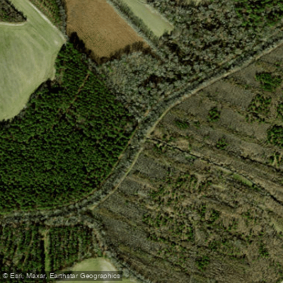
Conetoe Creek
- Boat Ramps
- 0
- Access Points
- 0
- Campsites
- 0
Conetoe Creek, pronounced ka-nee-ta, is a small waterway nestled in the coastal plains of eastern North Carolina. This tributary of the Tar River flows through Edgecombe County, offering a glimpse into the region's unique ecosystems. The creek meanders through the rural landscape before joining the Tar River, contributing to the larger Tar-Pamlico River Basin.
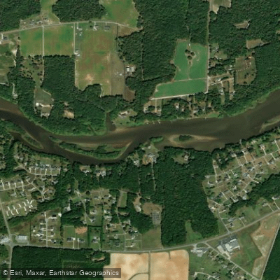
The Conetoe Creek Trail, a 1.9-mile stretch popular among paddlers, provides an intimate flatwater paddling experience characteristic of eastern North Carolina's coastal rivers. This section terminates at its confluence with the Tar River, nearly opposite the NC Highway 222 North Carolina Wildlife Resources Commission (NCWRC) boat ramp.
While there aren't any notable rapids or challenging features, paddlers should anticipate a gentle current and potentially varying water levels typical of coastal plain streams. Suitable for beginners to intermediate paddlers, Conetoe Creek offers a tranquil environment for those seeking a peaceful day on the water. The creek's difficulty is generally low, making it accessible to a wide range of skill levels. However, as with any waterway, conditions can change based on recent rainfall and seasonal patterns.
Spring and fall are likely the most pleasant seasons for paddling Conetoe Creek, when temperatures are moderate and wildlife is most active. Summer paddling is possible but may require early starts to avoid the intense heat of North Carolina's coastal plain.
The creek's ecosystem supports a variety of flora and fauna typical of eastern North Carolina's blackwater streams. Paddlers may encounter cypress trees, various wading birds, and possibly river otters or turtles basking on logs. The tannin-stained waters, a hallmark of coastal plain streams, create a mirror-like surface reflecting the surrounding vegetation.
Access to Conetoe Creek is limited, with the specific put-in location not widely publicized. Local knowledge is essential for finding suitable launch points. The town of Conetoe, after which the creek is named, is the nearest settlement, though it's a small, rural community with limited services.
Historically, the area around Conetoe Creek has been important for agriculture, particularly tobacco farming. The creek itself may have played a role in early settlement and transportation in Edgecombe County, though detailed historical information is scarce.
Safety considerations include checking water levels and weather forecasts before embarking, as coastal plain streams can be affected by upstream rainfall. Paddlers should be prepared for limited cell phone coverage and bring appropriate safety gear.
While multi-day trips on Conetoe Creek itself are not feasible due to its short length, the creek's connection to the Tar River opens up possibilities for extended paddling adventures in the broader Tar-Pamlico river system. For those seeking to explore the quieter waterways of eastern North Carolina, Conetoe Creek offers a serene paddle through a landscape steeped in the natural beauty of the coastal plain.
Water access, boat ramps & amenities
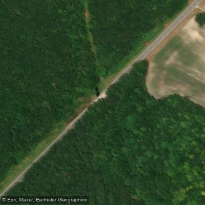
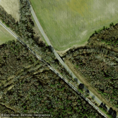
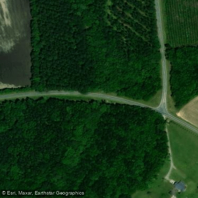
Learn how to get on Conetoe Creek. Uncover great paddling access points, boat ramps, and all the facilities you need for an unforgettable day on the water. Some locations shown may border or include private property. Always check property boundaries and applicable regulations before visiting. PaddleWays's Public & Private Land layer can help you plan your access with confidence.
Paddle smarter with real-time insights
Whether you're en route and conditions shift or you're looking for the best spot based on current flows, we enable you to make informed decisions on the fly.








Find Places to Paddle

Over 400,000 Places to Paddle
Every user gets free access to launch points, boat ramps, and public property parcels.


Water and weather conditions (10 day forecast)
See the best times to paddle Conetoe Creek and check the forecast before you go.
No forecast data available.
Paddling near Conetoe Creek

Neuse River
Tar River
Pamlico River
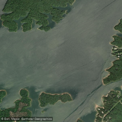
Roanoke River
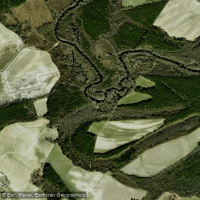
Contentnea Creek
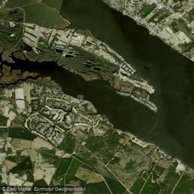
Chocowinity Bay
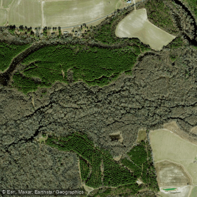
Tranters Creek
Trent River
Blounts Bay
Northeast Cape Fear River
Explore North Carolina waters
Top paddling waters
Popular Cities
Loading popular cities...
Explore near Conetoe Creek
Access points
Nearby waters
More in North Carolina

Smarter Paddling Starts in the App.
Paddleways gives you everything you need to plan smarter, paddle better, and own every trip from first launch to takeout.