Kennedy Creek
- Saltwater
- Tidal creek
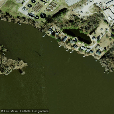
Kennedy Creek
- Saltwater
- Tidal creek
- Sq. miles
- 0
- Boat Ramps
- 0
- Access Points
- 0
- Campsites
- 1
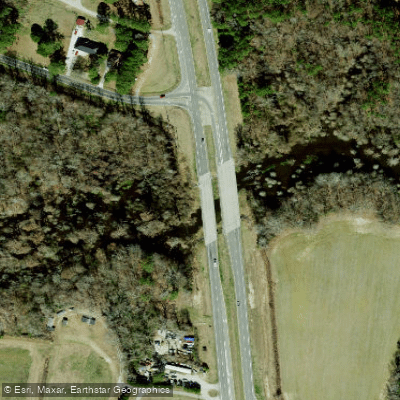
Kennedy Creek is a tidal creek flowing into Oyster Bay and Totten Inlet within the southern Puget Sound near Shelton, Washington. The paddling experience is characterized by extensive intertidal mudflats and salt marshes, making tidal planning paramount. A high tide of at least 14 feet is strongly recommended for launching to avoid mud wallowing; a popular put-in is on the north side of the creek at a small turnout where SE Old Olympic Highway meets northbound US 101. This access involves a very steep trail down to the water, requiring careful boat handling, and parking is limited. A common one-way route involves paddling the length of Totten Inlet, taking out at the Arcadia Boat Ramp, a distance of approximately 12 kilometers. The creek and inlet offer calm, sheltered waters suitable for sea kayaking, with shellfish growing operations and wooded shorelines defining the scenery. Wildlife is abundant, with harbor seals, cormorants, Great Blue Herons, and significant concentrations of migratory shorebirds, including thousands of dunlin in winter. The area is part of the Kennedy Creek Natural Area Preserve, protecting critical salt marsh ecosystems. The primary hazards are the extensive mudflats at low tide and a potentially overgrown trail at the main launch. Facilities at the launch are minimal, with no amenities beyond the steep trailhead. The water is part of a productive shellfish habitat, so paddlers should be mindful of local operations. Wind conditions are typically light, but a light northeasterly wind can develop. The best seasons for paddling are not explicitly defined, but trips are planned around high tides regardless of season.
Water access, boat ramps & amenities
Learn how to get on Kennedy Creek. Uncover great paddling access points, boat ramps, and all the facilities you need for an unforgettable day on the water. Some locations shown may border or include private property. Always check property boundaries and applicable regulations before visiting. PaddleWays's Public & Private Land layer can help you plan your access with confidence.
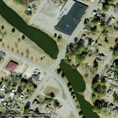
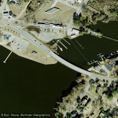
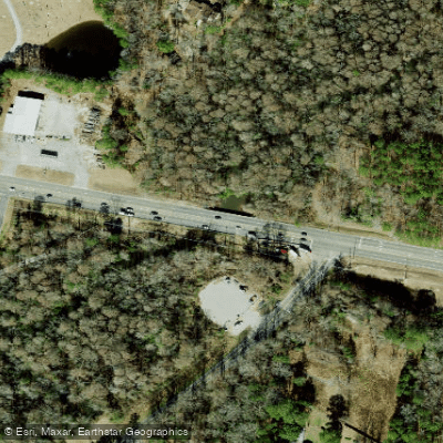
Paddle smarter with real-time insights
Whether you're en route and conditions shift or you're looking for the best spot based on current flows, we enable you to make informed decisions on the fly.








Find Places to Paddle

Over 400,000 Places to Paddle
Every user gets free access to launch points, boat ramps, and public property parcels.


Tides, wind & water conditions (10 day forecast)
On open water, wind and tide matter as much as the weather. See the best times to paddle Kennedy Creek and check the marine forecast before you launch.
Loading tide predictions…
Paddling near Kennedy Creek

Neuse River
Tar River
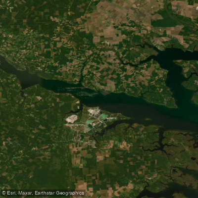
Pamlico River
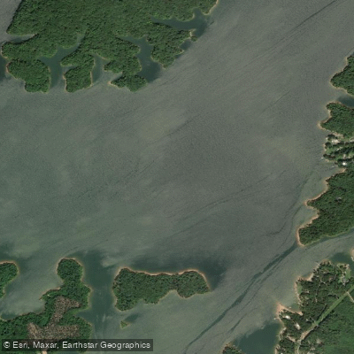
Roanoke River
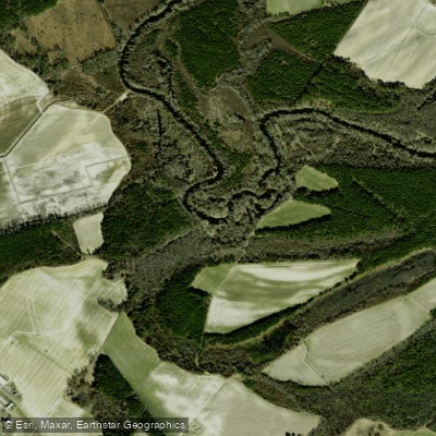
Contentnea Creek
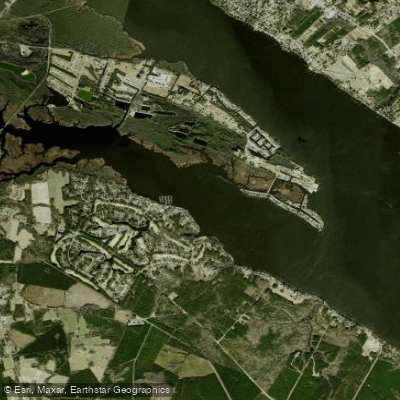
Chocowinity Bay
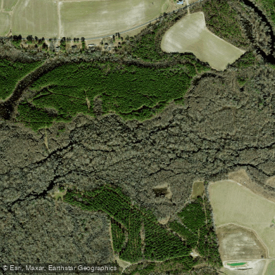
Tranters Creek
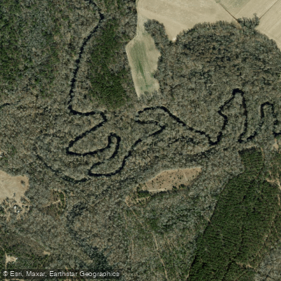
Trent River
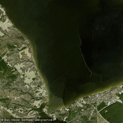
Blounts Bay
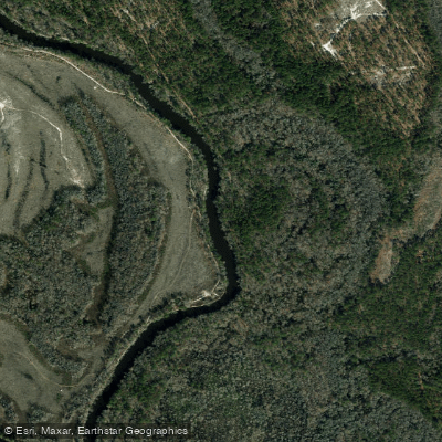
Northeast Cape Fear River
Explore North Carolina waters
Top paddling waters
Popular Cities
Loading popular cities...
Explore near Kennedy Creek
Access points
Nearby waters
More in North Carolina

Smarter Paddling Starts in the App.
Paddleways gives you everything you need to plan smarter, paddle better, and own every trip from first launch to takeout.