Little River Inlet
- Saltwater
- Inlet
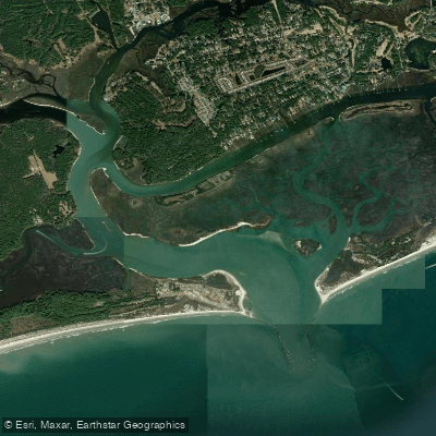
Little River Inlet
- Saltwater
- Inlet
- Sq. miles
- 1.3
- Boat Ramps
- 0
- Access Points
- 0
- Campsites
- 2
Little River Inlet is a coastal inlet forming part of the border between South Carolina and North Carolina, connecting the Intracoastal Waterway to the Atlantic Ocean. The primary access point is the Cherry Grove Boat Landing, a concrete ramp facility. Cricket Cove Marina, located directly on the Intracoastal Waterway, is the closest marina to the inlet and offers amenities including a fuel dock, a ship's store, and restrooms, though it is a commercial marina primarily for powerboats. The inlet area is characterized by significant boat traffic, including fishing charters and personal watercraft, particularly near the marina and the inlet mouth. Paddlers should expect strong tidal currents flowing through the inlet itself, which connects to the ocean, and must be prepared for potential ocean swell and a surf zone at the inlet's mouth. The surrounding waters include the Intracoastal Waterway, back bay areas, and marshes, providing a mix of open water and more protected creeks. The area is part of a developed coastal region known for fishing and tourism, with a mix of natural marsh views and waterfront infrastructure. Wildlife sightings, including dolphins, are common on trips that venture toward the ocean. Given the exposure to open ocean conditions at the inlet and the high volume of motorized boat traffic, this area is best suited for experienced paddlers with proper safety gear and knowledge of right-of-way rules. Paddling during weekdays or outside peak tourist seasons may result in less congestion.
Water access, boat ramps & amenities
Learn how to get on Little River Inlet. Uncover great paddling access points, boat ramps, and all the facilities you need for an unforgettable day on the water. Some locations shown may border or include private property. Always check property boundaries and applicable regulations before visiting. PaddleWays's Public & Private Land layer can help you plan your access with confidence.
Paddle smarter with real-time insights
Whether you're en route and conditions shift or you're looking for the best spot based on current flows, we enable you to make informed decisions on the fly.








Find Places to Paddle

Over 400,000 Places to Paddle
Every user gets free access to launch points, boat ramps, and public property parcels.


Tides, wind & water conditions (10 day forecast)
On open water, wind and tide matter as much as the weather. See the best times to paddle Little River Inlet and check the marine forecast before you launch.
Loading tide predictions…
Paddling near Little River Inlet
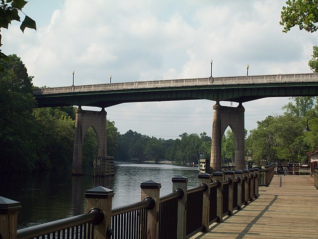
Waccamaw River
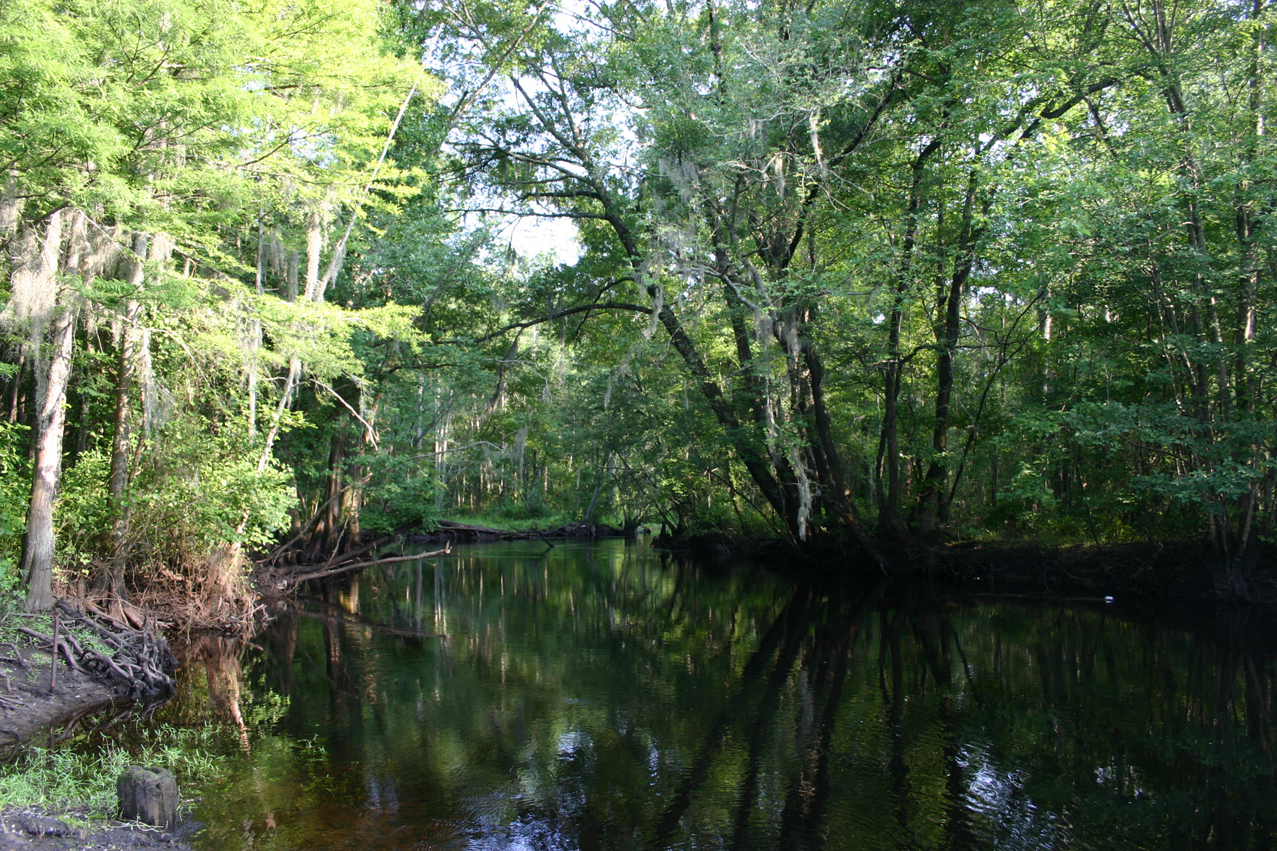
Little Pee Dee River
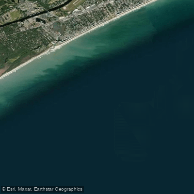
White Point Swash
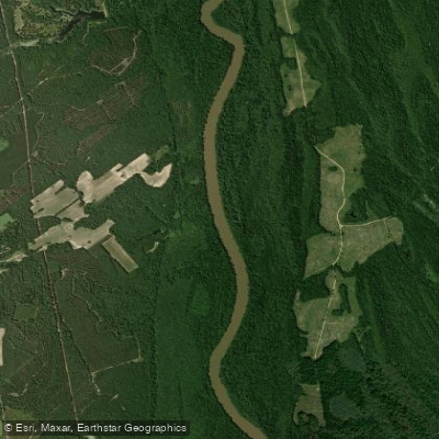
Great Pee Dee River
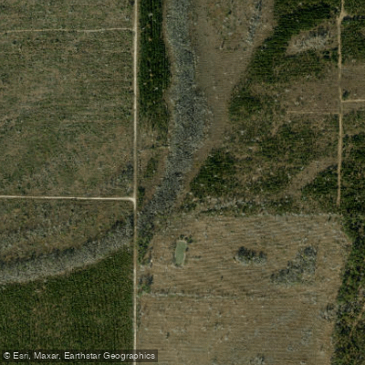
Intracoastal Waterway
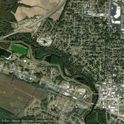
Lumber River
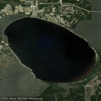
Lake Waccamaw
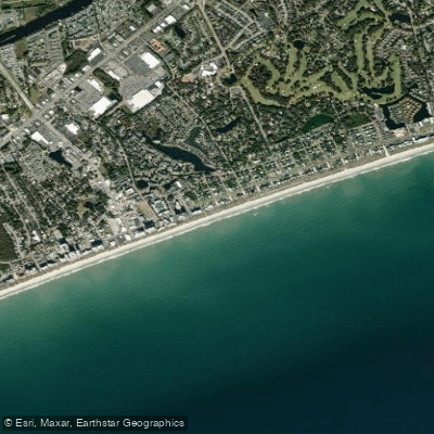
Ocean Drive Beach
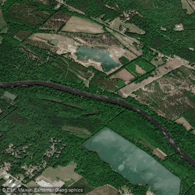
Cape Fear River
Explore North Carolina waters
Top paddling waters
Popular Cities
Loading popular cities...
Explore near Little River Inlet
Access points
Nearby waters
More in North Carolina

Smarter Paddling Starts in the App.
Paddleways gives you everything you need to plan smarter, paddle better, and own every trip from first launch to takeout.