Great Pee Dee River
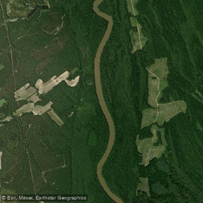
Great Pee Dee River
- Boat Ramps
- 12
- Access Points
- 12
- Campsites
- 0
The Great Pee Dee River is a major waterway in South Carolina, flowing approximately 175 miles through the eastern part of the state before emptying into Winyah Bay near Georgetown. Originating at the confluence of the Yadkin and Uwharrie Rivers in North Carolina, it enters South Carolina near Cheraw and flows southeastward. Major tributaries include the Little Pee Dee River and Lynches River.
The Great Pee Dee offers diverse paddling opportunities, from serene flatwater stretches to more challenging sections. The river is generally classified as flatwater, making it suitable for canoes, kayaks, and other small watercraft. Paddlers of various skill levels can enjoy the river, with many sections appropriate for beginners and families.
Several notable paddling sections include: 1. Dewitts Bluff to Bostics Landing (5.2 miles) 2. Allison's Landing to Dunham's Bluff (15 miles) 3. Highway 34 to Dewitt Bluff 4. The Revolutionary Rivers National Water Trail (66 miles, including part of the Lynches River)
The best paddling times are typically spring and fall, when water levels are favorable and temperatures are moderate. Summer can be hot and humid, while winter paddling requires cold-water precautions.
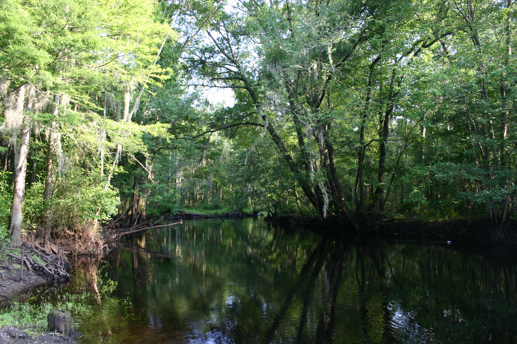
The river's ecosystem supports a rich variety of flora and fauna. Cypress and tupelo trees line the banks, creating a scenic backdrop. The free-flowing, unaltered river system in South Carolina serves as an important habitat for both resident and migratory fish species.
Key access points include Dewitts Bluff, Bostics Landing, Allison's Landing, and Dunham's Bluff. Nearby towns like Johnsonville and Conway provide services for paddlers.
The Great Pee Dee River holds significant historical importance, particularly related to the American Revolution. The Revolutionary Rivers National Water Trail, designated in 2022, highlights the river's role in the Southern Campaign and the exploits of General Francis Marion, the Swamp Fox.
Safety considerations include being aware of water levels, which can fluctuate due to upstream dam releases. Paddlers should also be prepared for long stretches without developed access points.
For those interested in multi-day trips, the river offers excellent opportunities. Camping is available on sandbars (when water levels permit) and at designated sites within the Woodbury Wildlife Management Area and Heritage Preserve.
The Great Pee Dee River provides a unique blend of natural beauty, historical significance, and paddling adventure, making it a premier destination for water enthusiasts in South Carolina.
Water access, boat ramps & amenities
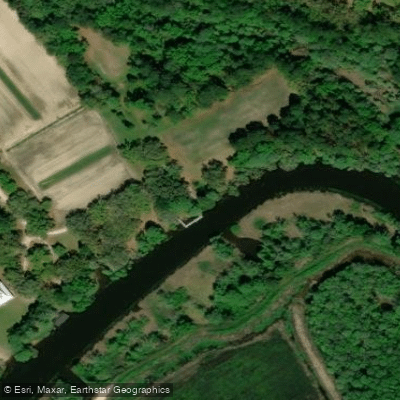
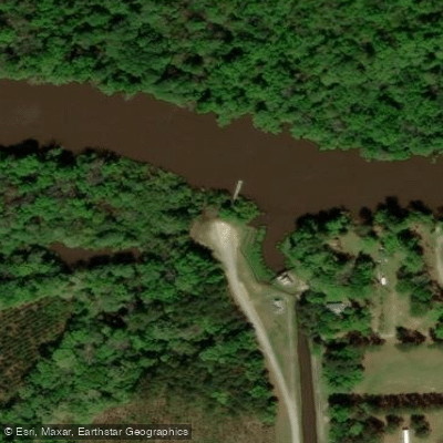
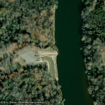
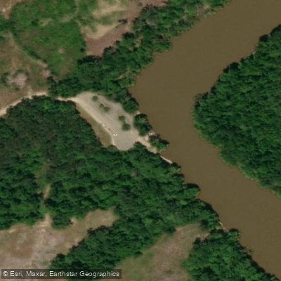
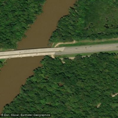
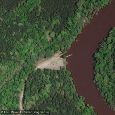
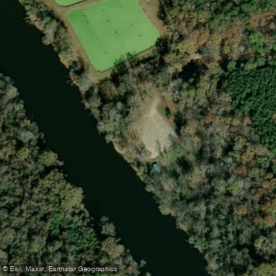
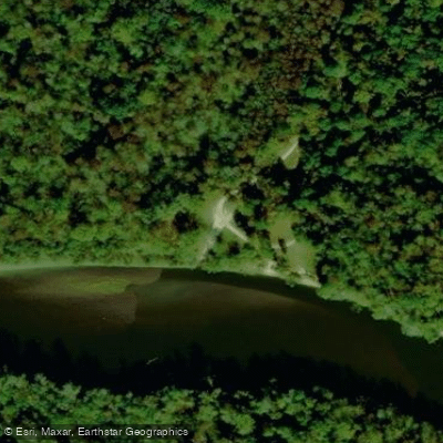
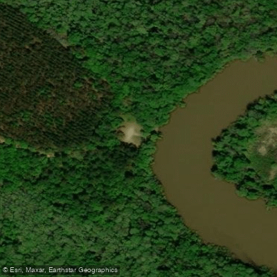
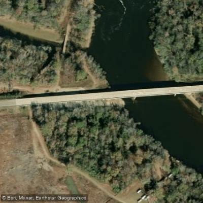
Learn how to get on Great Pee Dee River. Uncover great paddling access points, boat ramps, and all the facilities you need for an unforgettable day on the water. Some locations shown may border or include private property. Always check property boundaries and applicable regulations before visiting. PaddleWays's Public & Private Land layer can help you plan your access with confidence.
Paddle smarter with real-time insights
Whether you're en route and conditions shift or you're looking for the best spot based on current flows, we enable you to make informed decisions on the fly.








Find Places to Paddle

Over 400,000 Places to Paddle
Every user gets free access to launch points, boat ramps, and public property parcels.


Water and weather conditions (10 day forecast)
See the best times to paddle Great Pee Dee River and check the forecast before you go.
PEE DEE RIVER AT CHERAW, SC
All Flow Stations
Paddling near Great Pee Dee River
Little Pee Dee River
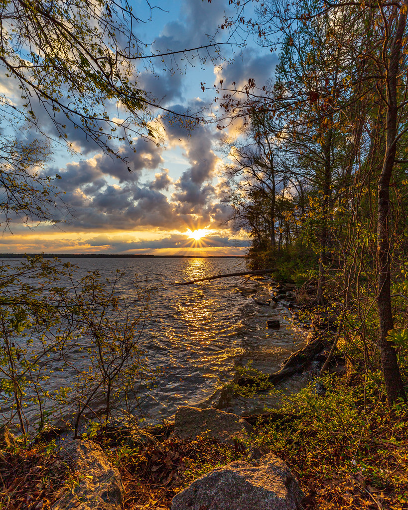
Lake Marion
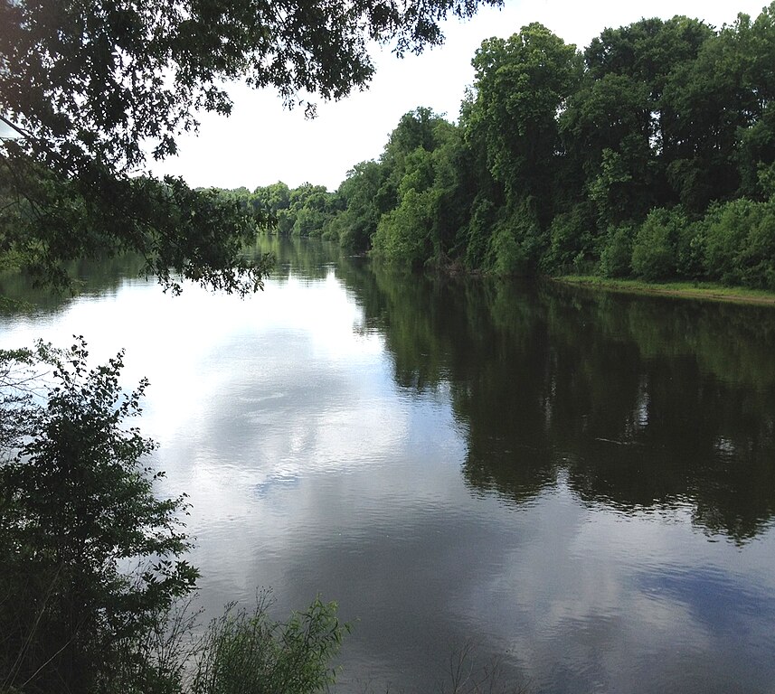
Wateree River
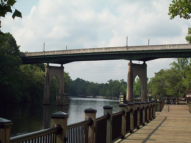
Waccamaw River
Lynches River
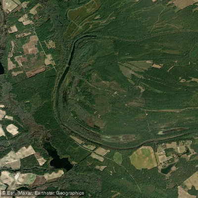
Lowthers Lake
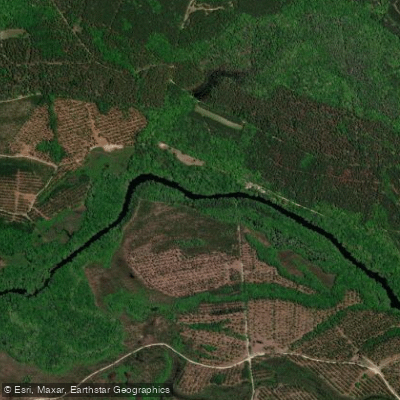
Black River
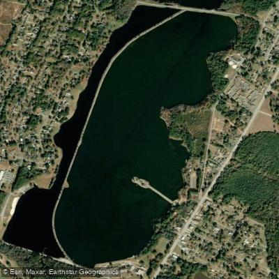
Lake Wallace
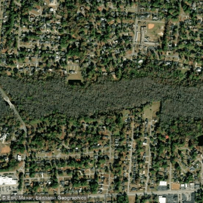
Jeffries Creek
Explore South Carolina waters
Top paddling waters
Popular Cities
Loading popular cities...
Explore near Great Pee Dee River
Access points
Nearby waters
More in South Carolina

Smarter Paddling Starts in the App.
Paddleways gives you everything you need to plan smarter, paddle better, and own every trip from first launch to takeout.