Oconaluftee River
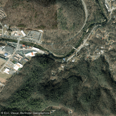
Oconaluftee River
- Boat Ramps
- 1
- Access Points
- 10
- Campsites
- 14
The Oconaluftee River, known locally as the Luftee, is a scenic mountain waterway that originates high in the Great Smoky Mountains of western North Carolina. It flows generally southeast for approximately 30 miles before joining the Tuckasegee River near Bryson City. The river and its tributaries, including Raven Fork and Bradley Fork, drain a significant portion of the southern Smoky Mountains.
Paddling opportunities on the Oconaluftee range from calm float trips to challenging whitewater. The most popular section for whitewater enthusiasts is the 11.5-mile stretch from Smokemont Campground to Birdtown, featuring continuous Class II-III rapids. For a more relaxed experience, the 2-mile Cherokee Tubing Section offers Class I-II waters perfect for families and beginners. The river's difficulty varies from easy Class I floats to expert-level Class V+ rapids in the Raven Fork Gorge. Most sections are suitable for intermediate paddlers, while the gorge should only be attempted by experts with extensive experience in extreme whitewater.
Spring and early summer typically offer the best water levels for paddling, though the river is often runnable year-round. Fall colors provide spectacular scenery for autumn trips. The Oconaluftee's banks are home to diverse Appalachian flora and fauna. Paddlers may spot black bears, white-tailed deer, and even elk, which have been reintroduced to the area. The river is also known for its excellent trout fishing.
Key landmarks include the Great Smoky Mountains National Park, the Oconaluftee Visitor Center, and the Mountain Farm Museum. The river flows through Cherokee, NC, offering access to cultural attractions like the Museum of the Cherokee Indian. Primary access points include Smokemont Campground, Cherokee, and various spots along US-441. The nearby towns of Cherokee and Bryson City serve as convenient bases for river trips.
Historically, the Oconaluftee holds great significance for the Eastern Band of Cherokee Indians, whose ancestral lands encompass the river valley. Today, much of the river flows through the Qualla Boundary, the tribe's sovereign territory.
Safety considerations include being aware of rapidly changing water levels, especially after heavy rains. Paddlers should respect private property along the banks and be mindful of regulations within the national park and tribal lands. For those seeking a multi-day adventure, it's possible to combine the Oconaluftee with the Tuckasegee River for an extended trip, though this requires careful planning and logistics.
The Oconaluftee River offers a quintessential Smoky Mountain paddling experience, combining natural beauty, rich cultural heritage, and diverse whitewater challenges in one of the most scenic regions of the Southern Appalachians.
Water access, boat ramps & amenities
Learn how to get on Oconaluftee River. Uncover great paddling access points, boat ramps, and all the facilities you need for an unforgettable day on the water. Some locations shown may border or include private property. Always check property boundaries and applicable regulations before visiting. PaddleWays's Public & Private Land layer can help you plan your access with confidence.
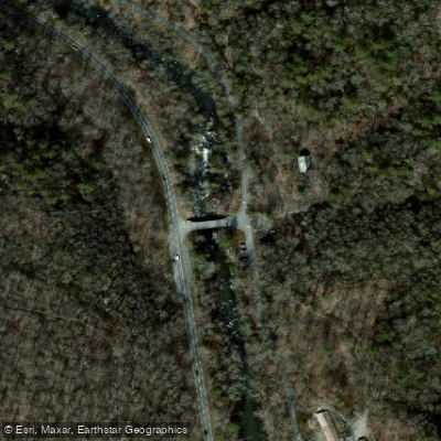
Smokemont Bridge Access
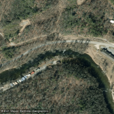
Birdtown Access
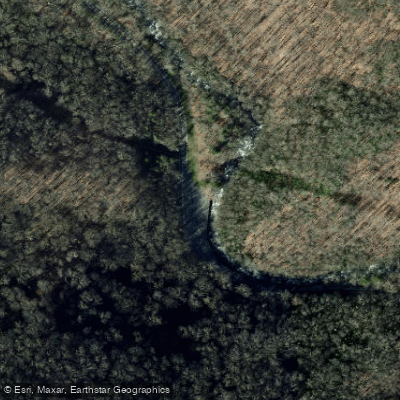
Rock Wall Curve Access
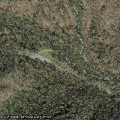
Kephart Trail Bridge Access
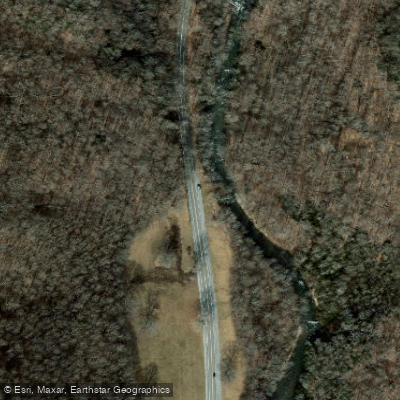
Oconaluftee River Pullout Access
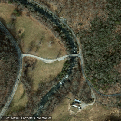
Tow String Road Access
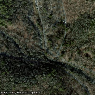
Smokemont Loop Trailhead Access
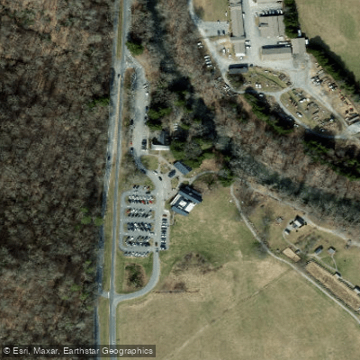
Oconaluftee River Trailhead Access
Mile Post 27 Pullout Access
Paddle smarter with real-time insights
Whether you're en route and conditions shift or you're looking for the best spot based on current flows, we enable you to make informed decisions on the fly.








Find Places to Paddle

Over 400,000 Places to Paddle
Every user gets free access to launch points, boat ramps, and public property parcels.


Water and weather conditions (10 day forecast)
See the best times to paddle Oconaluftee River and check the forecast before you go.
OCONALUFTEE RIVER AT BIRDTOWN, NC
Paddling near Oconaluftee River
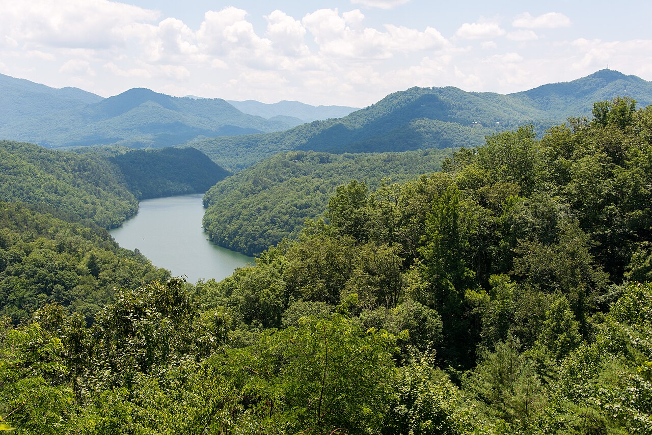
Tuckasegee River

Little Tennessee River
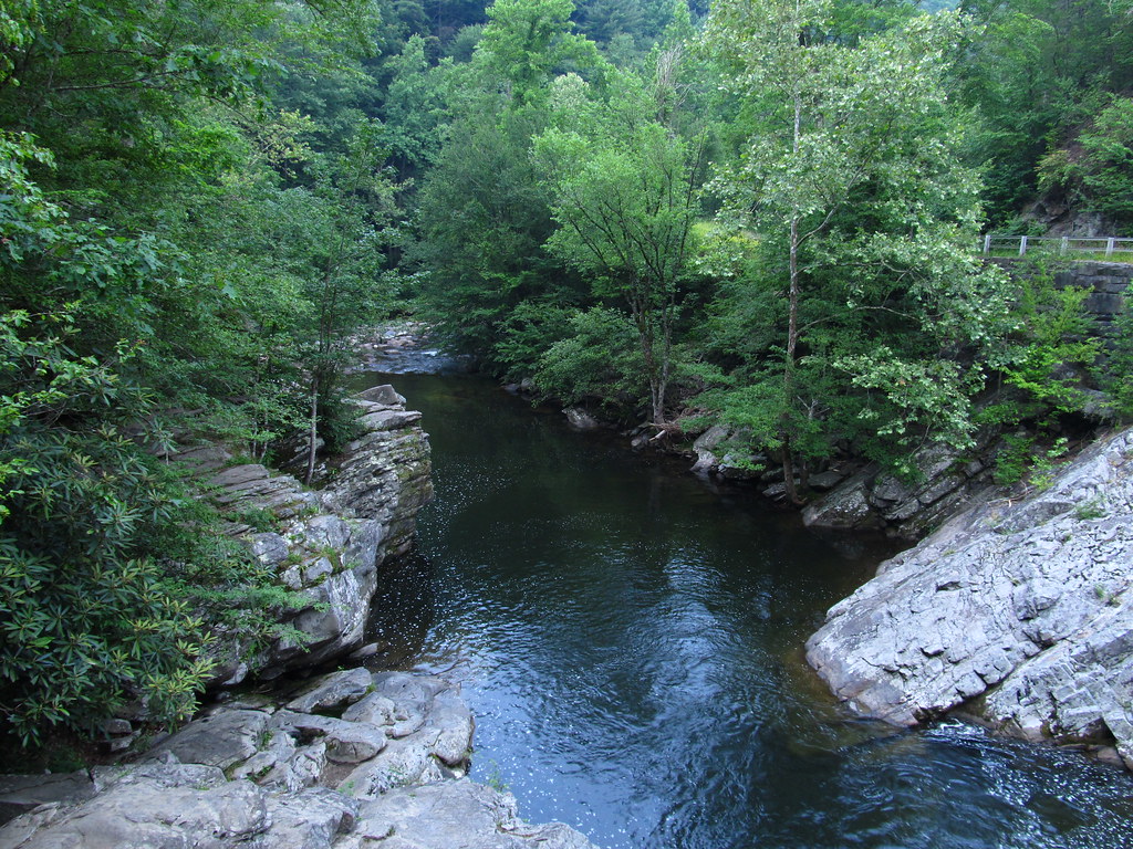
Little River
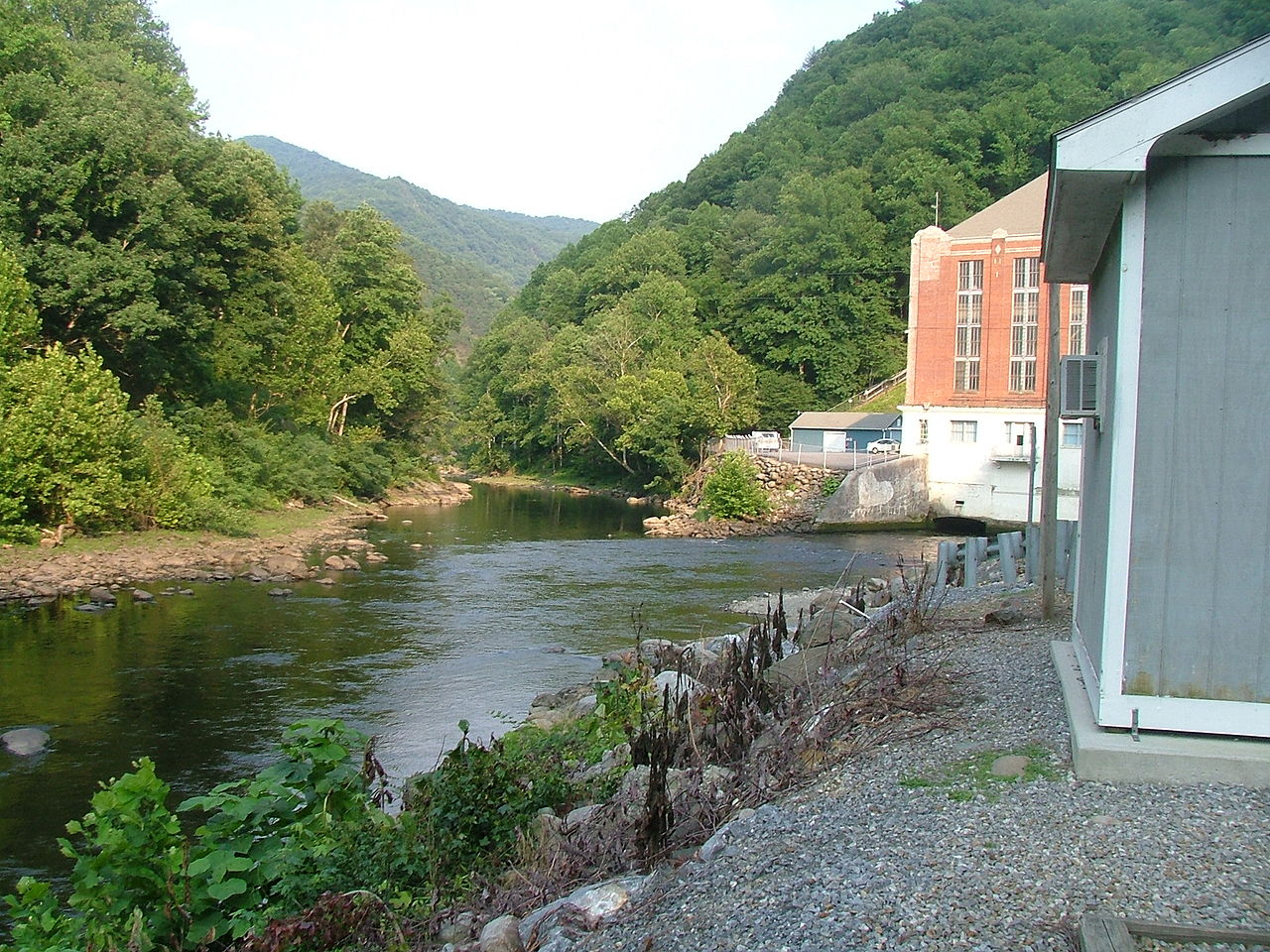
Pigeon River
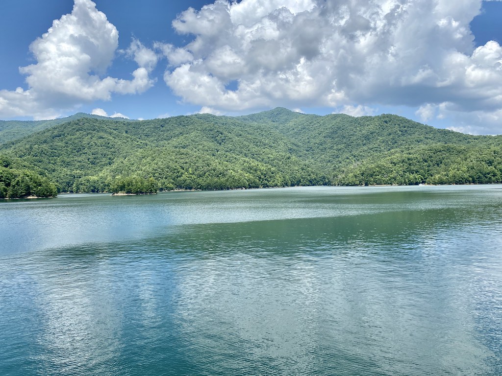
Fontana Lake

French Broad River
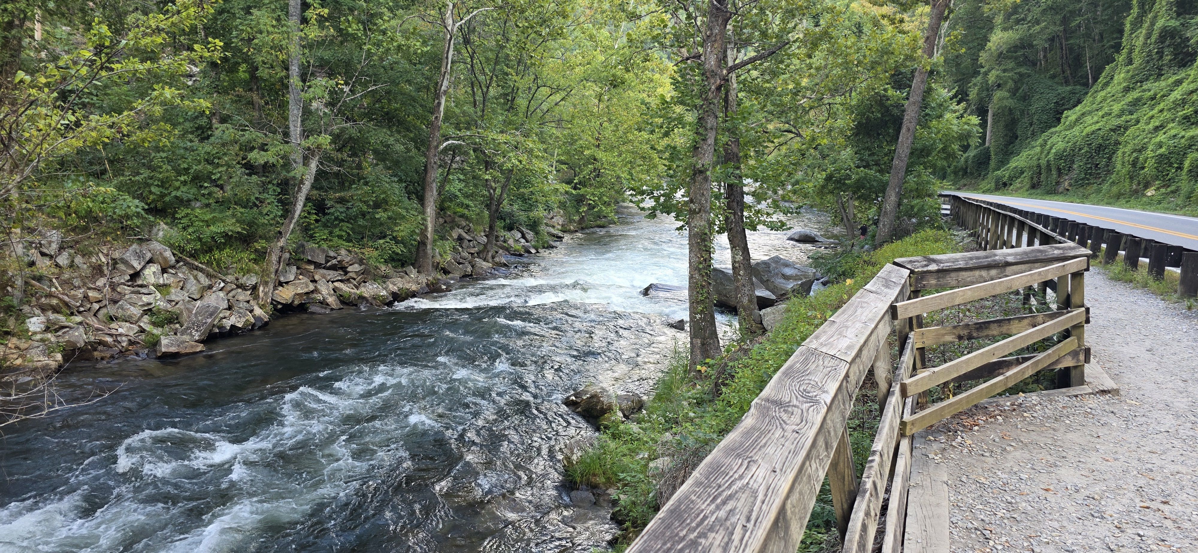
Nantahala River
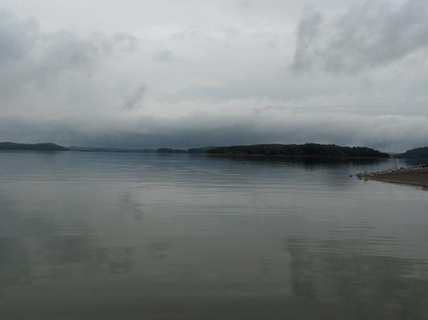
Douglas Lake

Tennessee River
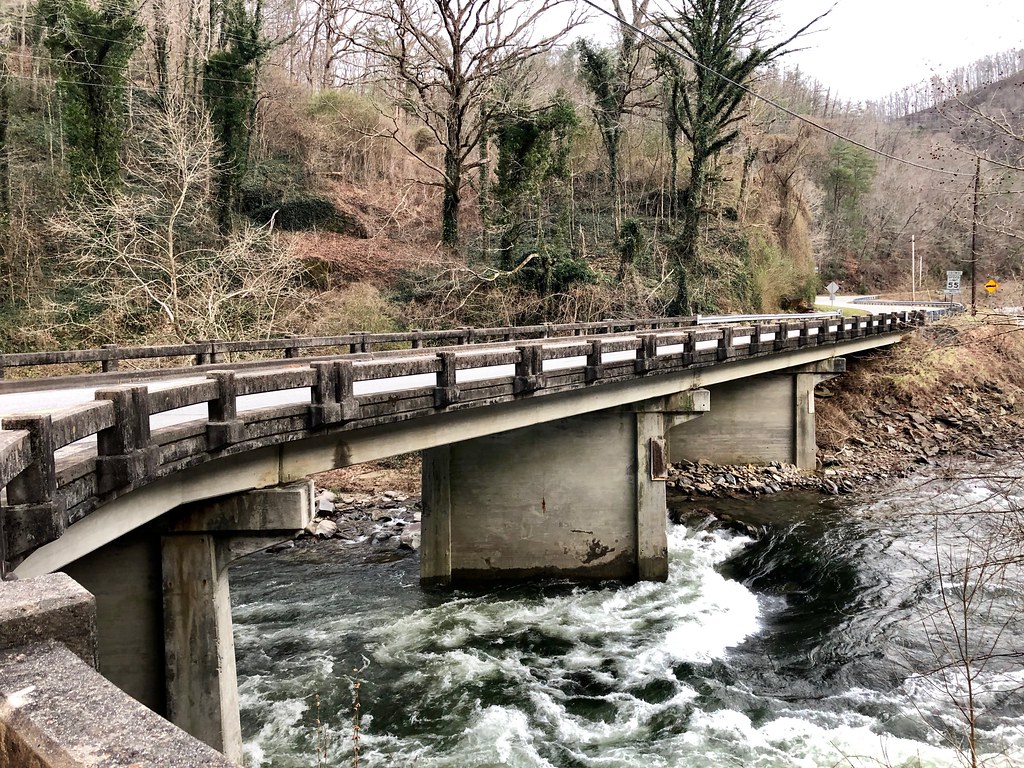
Cheoah River
Explore North Carolina waters
Top paddling waters
Popular Cities
Loading popular cities...
Explore near Oconaluftee River
Access points
- Bryson Trailrace Access
- Smokemont Bridge Access
- Birdtown Access
- Rock Wall Curve Access
- Kephart Trail Bridge Access
- Oconaluftee River Pullout Access
- Tow String Road Access
- Smokemont Loop Trailhead Access
- Oconaluftee River Trailhead Access
- Mile Post 27 Pullout Access
- Oconaluftee River Bridge
- Oconaluftee River & Big Bridge
- All 99 spots
Nearby waters
More in North Carolina

Smarter Paddling Starts in the App.
Paddleways gives you everything you need to plan smarter, paddle better, and own every trip from first launch to takeout.