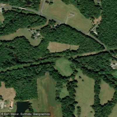
Curated by PaddleWays
RouteClass II–III
- Distance
- 1.8 mi
- Paddle time
- ~0.5 hrs
- Best for
- Experienced paddlers
- Put-in → take-out
- Upper Richland Creek Put-in → Upper Richland Creek Take-out
Ledge drops, one just before Riverside Road
Richland Creek flows through the heart of Randolph County, North Carolina, carving a distinctive path through the Uwharrie foothills before joining the Deep River. This tributary originates near the Randolph-Guilford county line and travels eastward through a landscape shaped by both ancient geology and industrial heritage, passing through communities like Asheboro and the historic mill village of Franklinville.
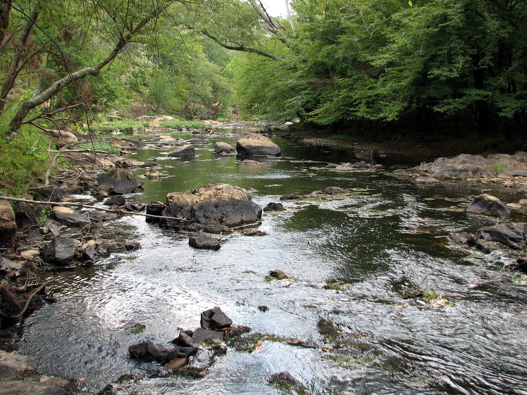
The creek's character shifts dramatically along its course. The upper sections near Picketts Mill Road feature technical boulder gardens and ledge drops, with gradient reaching approximately 41 feet per mile in the most concentrated stretch. A notable rapid exists where a large boulder nearly blocks the center channel, requiring precise boat control and a tight line hugged to river left. The Erect Road dam creates a spiraling Class II+ drop that serves as a natural gauge—exposed rocks signal low water, while robust flow indicates prime conditions. Downstream from Erect Road, the creek mellows into predominantly Class I-II water with occasional ledge drops interrupting longer flat sections.
Paddlers find the most rewarding whitewater between Picketts Mill Road and Erect Road, where the creek descends roughly 39 feet over less than a mile. This technical section demands scouting, particularly at lower flows when obstacles become more pronounced. The gradient softens considerably in the lower reaches toward the Deep River confluence, transitioning to a steadier glide punctuated by short boulder gardens.
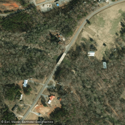
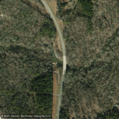
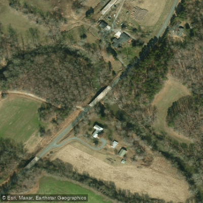
Access points include bridges at Little Beane Store Road, Picketts Mill Road, Erect Road, and Riverside Road, all offering parking close to the water. The creek typically requires significant recent rainfall to reach runnable levels—at least one to two inches depending on the season. The Erect Road bridge pier serves as a visual gauge; minimum flow shows about six inches of water against the pier.
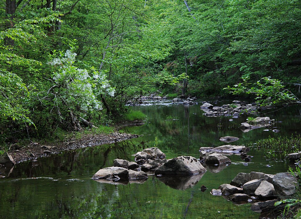
Richland Creek flows through a corridor marked by remnants of Randolph County's textile heritage. The creek once powered mills in Franklinville, and paddlers pass through landscapes where 19th-century industry shaped the waterway. The surrounding forests support typical Piedmont hardwoods—sycamore, oak, and river birch—along with wildlife including great blue herons, kingfishers, and occasional river otters.
The creek's narrow width and tree-lined banks create an intimate paddling experience, though this also means strainers present a constant concern. Paddlers should maintain vigilance and be prepared to portage when necessary. The technical nature of the upper sections makes this creek best suited for intermediate boaters comfortable reading water and maneuvering through tight channels. Spring and winter following substantial rainfall offer the most reliable conditions, as the underlying geology holds little groundwater to sustain summer flows.
Curated routes
Hand-picked by the PaddleWays team, with put-ins, take-outs, paddle times and the hazards along the way.
RouteClass II–III
RouteClass III–IV
Hazards
No hazards are marked on Richland Creek yet. That is not the same as none being there: if you find one, report it for the next paddler.
From the community
Nobody has shared a trip on Richland Creek yet. Paddle it, then tell the next paddler how it went.
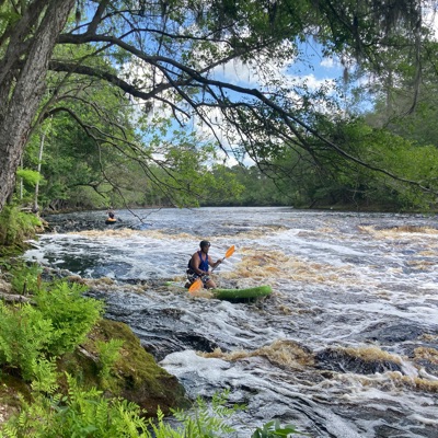
Zachariah S. •
Mendenhall Falls, sort of near the end may reach class 4 at high levels. The left line is a single slide, but with a pin rock on the right side of the outflow. The right line is 2 ledges about 3-3.5 ft each. The rapid immediately after might be heavy at high water as well, but seemed like the best route was a slide river left. There may be a blind boof line on the right.
Zachariah S. •
Really this is class 1-2 from little beane store to Picketts mill. Then from there to Erect Rd is class 2 with one 3 and the busted dam at erect rd is class 2+-3 depending on water level. After that it is class 1-2 till riverside rd. The run is sort of like the Rocky River (Deep Trib) and is one of the better creeks in central NC. No class 4 though in this section, at least the levels I’ve seen.
See exactly where the public can get on and off the river. Launch points and boat ramps are paired with PaddleWays' public land data so you know where you can legally land.
Public shoreline
4%of the river's shoreline is public
Most of the riverbank is private. Launch, land and camp only at public access points.
Flows, weather and a route-by-route verdict, so you know which stretch of the Richland Creek is worth paddling today.
No forecast data available.
Live flows, marked hazards and fresh trip reports from paddlers who were just on the water, all in one place.





Every user gets free access to launch points, boat ramps, and public property parcels.
Loading popular cities...
PaddleWays gives you everything you need to plan smarter, paddle better, and own every trip from first launch to takeout.