Curated by PaddleWays
RouteClass IV
- Distance
- 7.3 mi
- Paddle time
- ~2 hrs
- Best for
- Experienced paddlers
- Put-in → take-out
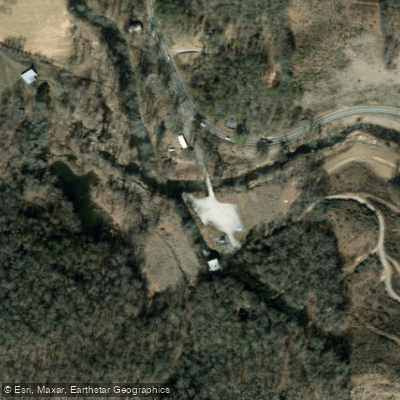
- put-in → Tuckasegee Powerhouse Access
The West Fork Tuckasegee River is a scenic and challenging waterway located in western North Carolina. It originates in the Nantahala National Forest and flows generally eastward, eventually joining the East Fork to form the main stem of the Tuckasegee River. The West Fork is part of the larger Tennessee River watershed.
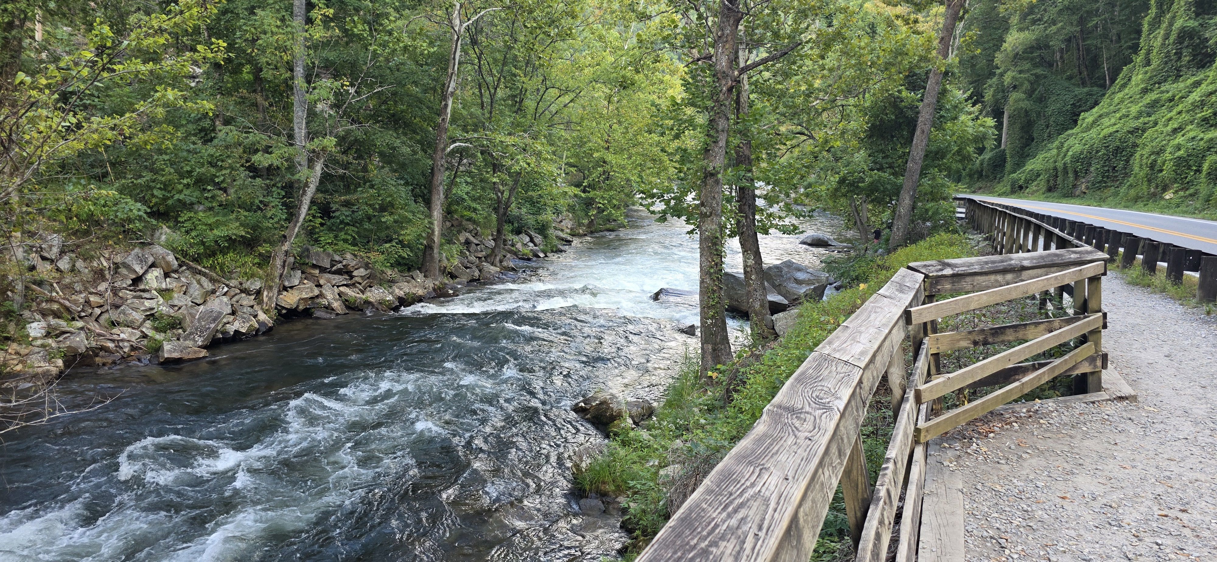
Paddling opportunities on the West Fork Tuckasegee vary from mild to wild. The most renowned section is the West Fork Tuckasegee Gorge, a 5.5-mile stretch of Class III-IV+ whitewater from Thorpe Dam to Thorpe Powerhouse. This section offers experienced paddlers a thrilling mix of slides, boulder gardens, and technical rapids. Access requires a mile-long hike from a parking area near Highway 107.
Downstream, the river mellows considerably. The section from Tuckasegee to Dillsboro provides a more relaxed 10-mile paddle suitable for beginners and intermediate paddlers, with Class II rapids and scenic views. Further downstream, the Tuckasegee River Gorge section from Dillsboro to Barkers Creek offers 4.4 miles of Class II-III whitewater, making it an excellent training ground for developing paddlers.
The West Fork Tuckasegee's difficulty ranges from Class II to IV+, requiring varying levels of skill depending on the section. Paddlers should always assess their abilities against current conditions and choose appropriate sections. The river is dam-controlled, with scheduled releases providing optimal paddling conditions. The best paddling typically occurs from spring through fall, with releases often happening on weekends. However, it's essential to check release schedules and water levels before planning a trip.
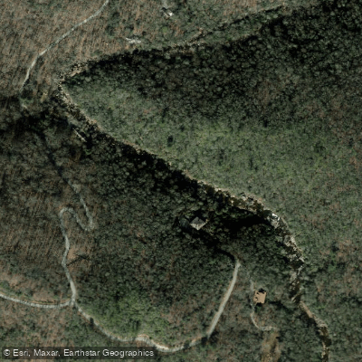
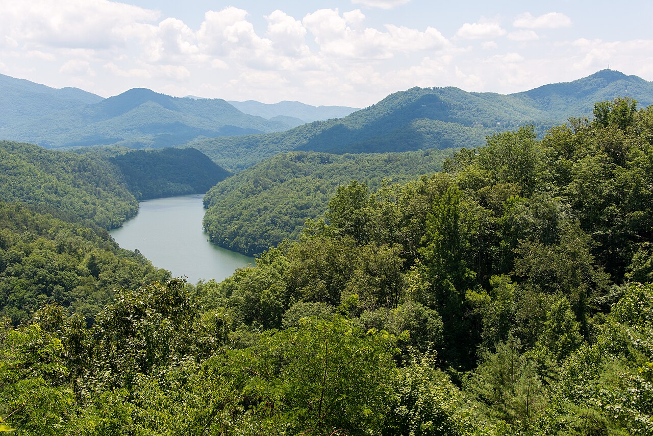
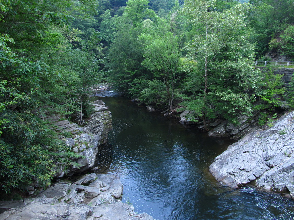
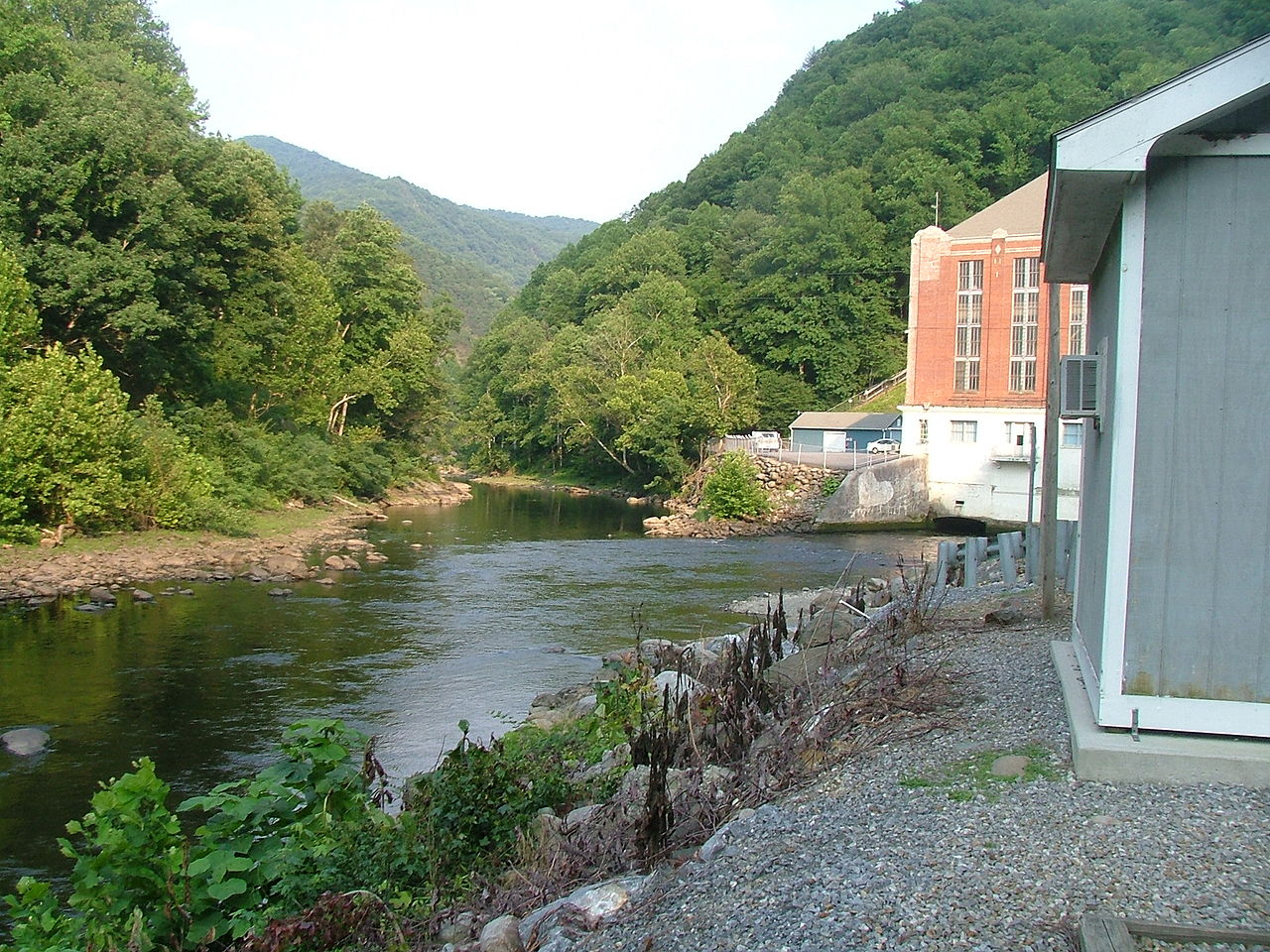
The West Fork Tuckasegee flows through a lush, forested landscape typical of the southern Appalachians. Paddlers may spot diverse wildlife, including various fish species, birds of prey, and occasionally black bears. Key landmarks include High Falls (also known as Cullowhee Falls), a massive double drop near the put-in for the Gorge section that is unrunnable and marks the beginning of the paddling route. The Thorpe Dam and Powerhouse are also significant features.
Access points include the put-in near Thorpe Dam for the Gorge section, and various points in the towns of Tuckasegee and Dillsboro for the lower sections. Sylva is the nearest major town, providing amenities for paddlers.
Safety is paramount on the West Fork Tuckasegee, especially in the Gorge section. Paddlers must be aware of potential hazards, including undercut rocks and strainers. It's crucial to scout unfamiliar rapids and always wear appropriate safety gear. While primarily used for day trips, the combination of the West Fork and main stem Tuckasegee can provide options for multi-day adventures for those looking to explore more of this beautiful North Carolina river system.
Curated routes
Hand-picked by the PaddleWays team, with put-ins, take-outs, paddle times and the hazards along the way.
RouteClass IV
Hazards
No paddler has reported a hazard here yet, so these are the dams, falls and big rapids on our map. Hazards change with flows and storms, so check them before you launch.
From the community
Nobody has shared a trip on West Fork Tuckasegee River yet. Paddle it, then tell the next paddler how it went.
See exactly where the public can get on and off the river. Launch points and boat ramps are paired with PaddleWays' public land data so you know where you can legally land.
Public shoreline
0%of the river's shoreline is public
Most of the riverbank is private. Launch, land and camp only at public access points.
Flows, weather and a route-by-route verdict, so you know which stretch of the West Fork Tuckasegee River is worth paddling today.
No forecast data available.
Live flows, marked hazards and fresh trip reports from paddlers who were just on the water, all in one place.





Every user gets free access to launch points, boat ramps, and public property parcels.
Loading popular cities...
PaddleWays gives you everything you need to plan smarter, paddle better, and own every trip from first launch to takeout.