Blanchard River
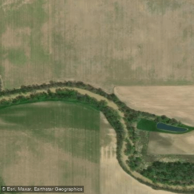
Blanchard River
- Boat Ramps
- 14
- Access Points
- 17
- Campsites
- 0
The Blanchard River is a significant waterway in northwestern Ohio, originating near Kenton and flowing westward through Findlay before joining the Auglaize River near Defiance. This 101-mile long river is part of the larger Maumee River watershed, which ultimately drains into Lake Erie. The Blanchard River Water Trail offers paddlers 37.6 miles of scenic flatwater paddling opportunities, with the most popular sections located near Findlay. The trail is generally considered easy to moderate difficulty, making it suitable for paddlers of various skill levels.
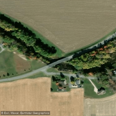
However, paddlers should be aware of potential obstacles like strainers (overhanging branches, log jams, and flooded islands) that may require portaging. Paddling is best from April through June when water levels are typically higher. A minimum river gage height of 1 foot 5 inches is recommended for safe paddling on many sections. The river flows through a mix of urban and rural landscapes, offering diverse scenery and wildlife viewing opportunities. Key landmarks along the river include the Findlay Country Club, downtown Findlay, the Great Karg Well, and several bridges including I-75. The river passes through Hancock and Putnam counties, with major access points in Findlay, Ottawa, and Gilboa.
Popular paddling sections include: 1. Liberty Landing to Blanchard Landing (9.3 miles) - A scenic half-day trip through Findlay 2. Eastpoint Area to Liberty Landing - Passes through the heart of Findlay 3. Reservoir Landing to Arrowhead Landing (4.2 miles) - An easy route near Ottawa
The Blanchard River has played a significant role in the region's history, supporting early settlements and industrial development. Today, it serves as an important recreational resource and natural habitat. Safety considerations include checking water levels before paddling, being prepared for portages, and watching for strainers. Life jackets are required by law. For longer adventures, paddlers can continue beyond the designated water trail, potentially making a multi-day trip from Findlay to Ottawa (approximately 37 miles).
Recent improvements, such as new launch sites in Ottawa completed in 2023, have enhanced access to the river. The Blanchard River Water Trail's designation as Ohio's 14th state water trail in 2022 highlights its recreational importance and the ongoing efforts to promote and preserve this valuable natural resource.
Water access, boat ramps & amenities
Learn how to get on Blanchard River. Uncover great paddling access points, boat ramps, and all the facilities you need for an unforgettable day on the water. Some locations shown may border or include private property. Always check property boundaries and applicable regulations before visiting. PaddleWays's Public & Private Land layer can help you plan your access with confidence.
Paddle smarter with real-time insights
Whether you're en route and conditions shift or you're looking for the best spot based on current flows, we enable you to make informed decisions on the fly.








Find Places to Paddle

Over 400,000 Places to Paddle
Every user gets free access to launch points, boat ramps, and public property parcels.


Water and weather conditions (10 day forecast)
See the best times to paddle Blanchard River and check the forecast before you go.
Blanchard River below Mt. Blanchard OH
All Flow Stations
Paddling near Blanchard River
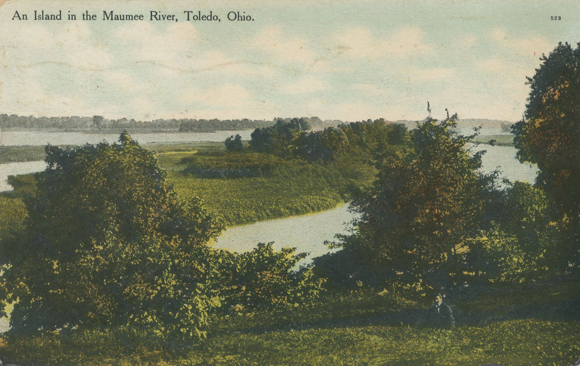
Maumee River
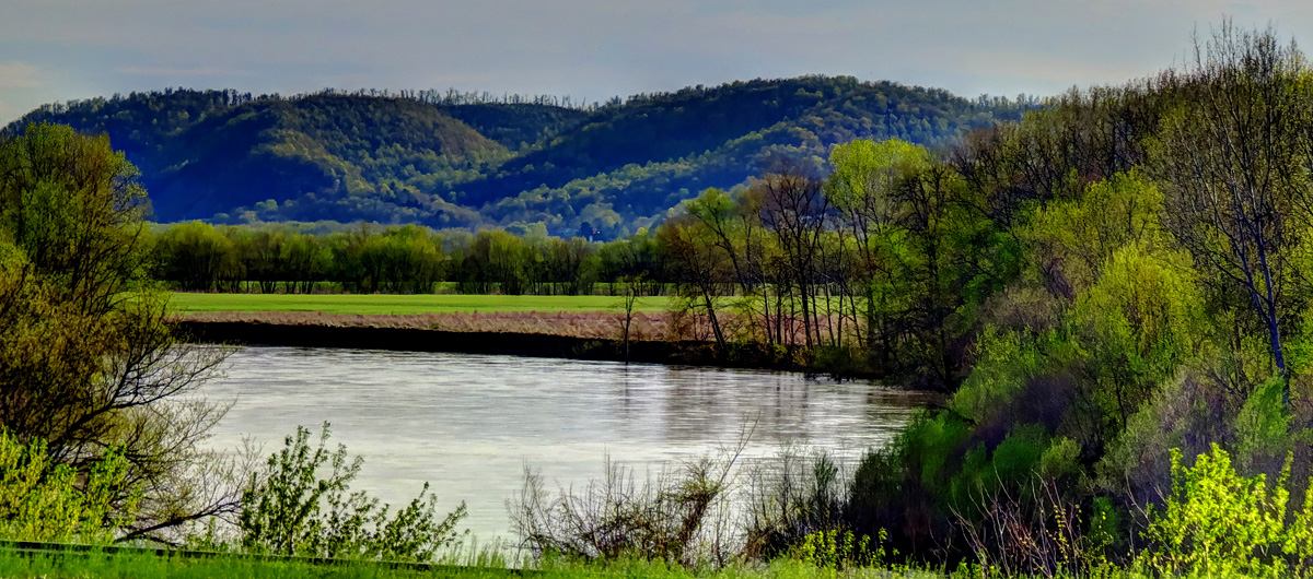
Scioto River
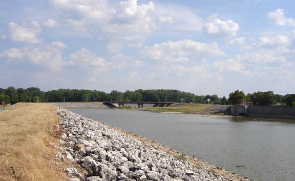
Sandusky River
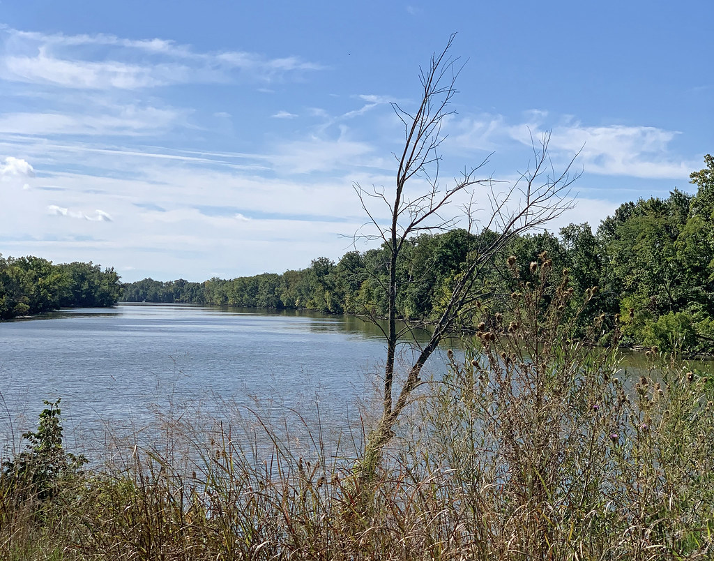
Auglaize River
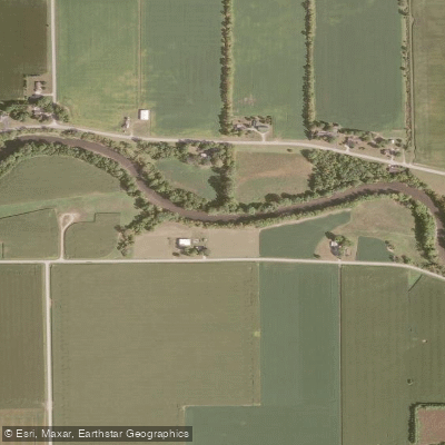
Portage River

Lake Erie
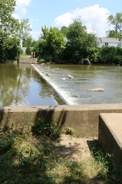
Olentangy River
Van Buren Lake
Findlay Reservoir
Explore Ohio waters
Top paddling waters
Popular Cities
Loading popular cities...
Explore near Blanchard River
Access points
- Blanchard River Canoe Launch
- Croy's Landing Boat Ramp
- Blanchard River Canoe Launch
- Blanchard River Canoe Launch
- Blanchard River Canoe Launch
- Blanchard River Canoe Launch
- Blanchard River Canoe Launch
- Blanchard River Canoe Launch
- Blanchard River Canoe Launch
- Blanchard River Canoe Launch
- Blanchard River Canoe Launch
- Blanchard River Canoe Launch
- All 225 spots
Nearby waters
More in Ohio

Smarter Paddling Starts in the App.
Paddleways gives you everything you need to plan smarter, paddle better, and own every trip from first launch to takeout.