Van Buren Lake
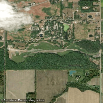
Van Buren Lake
- Boat Ramps
- 3
- Access Points
- 5
- Campsites
- 2
Van Buren Lake is a 45-acre impoundment located within Van Buren State Park in northwest Ohio, approximately 10 miles north of Findlay. The lake was created in 1939 when a dam was constructed over Rocky Ford Creek.
However, as of August 2025, the lake is currently not navigable due to an ongoing dam notching and water level lowering project as part of the Rocky Ford Creek Restoration initiative.
Under normal conditions, Van Buren Lake is restricted to electric motors only, making it ideal for quiet paddling experiences. The lake prohibits gasoline-powered watercraft, creating a peaceful environment for canoes and kayaks.
Ohio state regulations require all watercraft, including canoes and kayaks, to be properly registered, and paddlers must carry US Coast Guard-approved life jackets for each person onboard.
The lake sits within Ohio's till plains region, characterized by rich agricultural surroundings of corn, soybean, and wheat fields. The immediate area features remnant woodlands dominated by beech and sugar maple trees.
Wildlife commonly observed includes white-tailed deer, red fox, raccoon, and various bird species such as eastern bluebird, eastern meadowlark, and woodcock.
Van Buren Lake historically provided good fishing opportunities for largemouth bass, channel catfish, crappie, bullhead, bluegill, and carp.
The park offers multiple picnic areas and hiking trails that provide scenic views of the lake when water levels are normal.
The area holds historical significance as the former territory of the Shawnee tribe, with Indian Island located in the northwest section of the lake where artifacts and relics have been found.
The park was named after Martin Van Buren, the eighth President of the United States. Due to the current restoration project, paddlers should contact the park office at (419) 832-7662 before visiting to confirm water access availability and safety conditions.
Water access, boat ramps & amenities
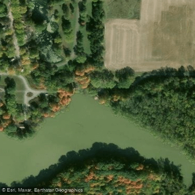
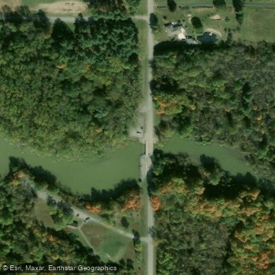
Learn how to get on Van Buren Lake. Uncover great paddling access points, boat ramps, and all the facilities you need for an unforgettable day on the water. Some locations shown may border or include private property. Always check property boundaries and applicable regulations before visiting. PaddleWays's Public & Private Land layer can help you plan your access with confidence.
Paddle smarter with real-time insights
Whether you're en route and conditions shift or you're looking for the best spot based on current flows, we enable you to make informed decisions on the fly.








Find Places to Paddle

Over 400,000 Places to Paddle
Every user gets free access to launch points, boat ramps, and public property parcels.


Water and weather conditions (10 day forecast)
See the best times to paddle Van Buren Lake and check the forecast before you go.
No forecast data available.
Paddling near Van Buren Lake
Maumee River
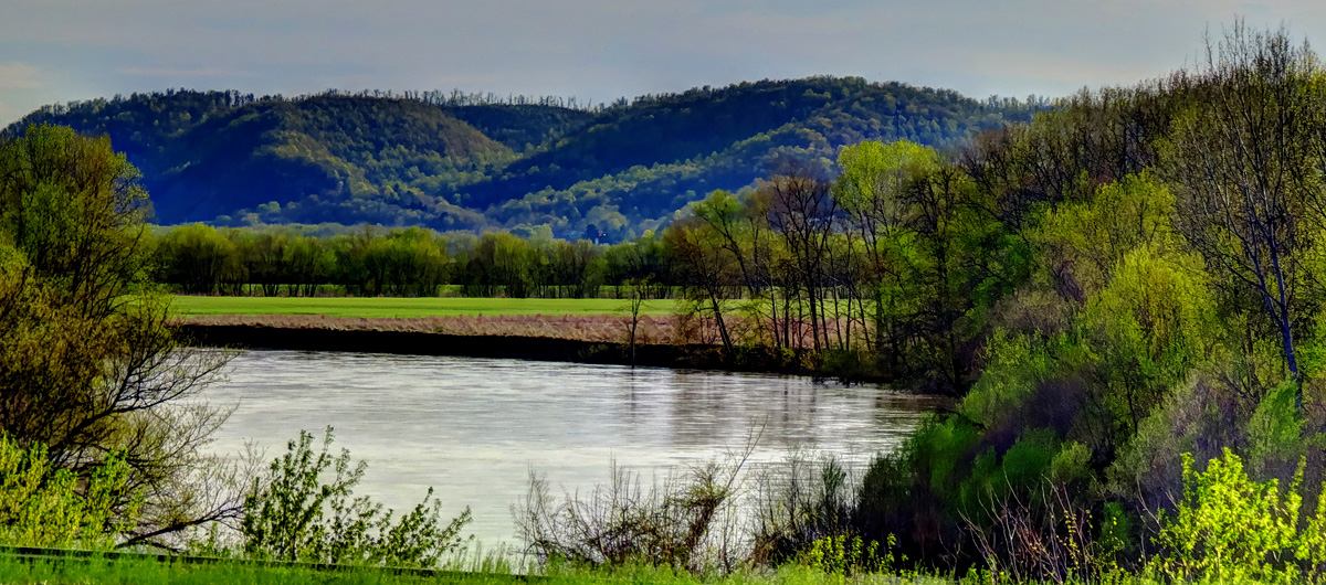
Scioto River
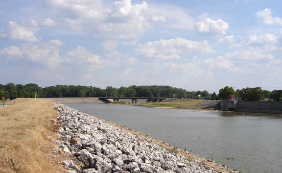
Sandusky River
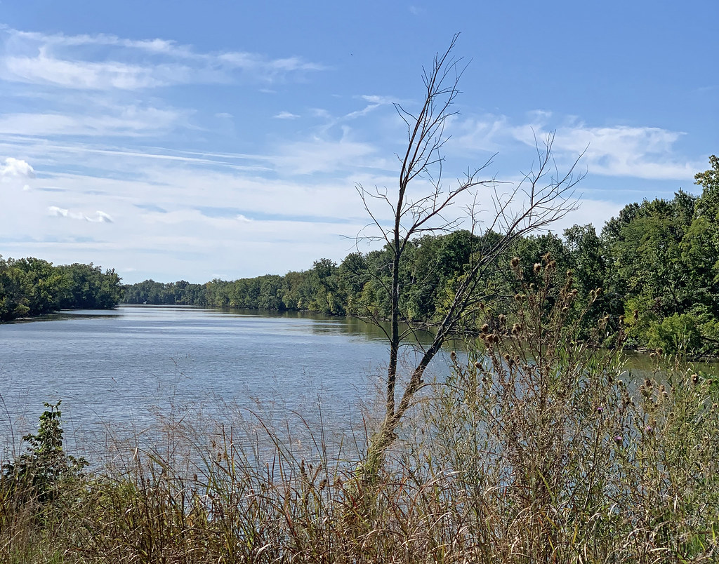
Auglaize River
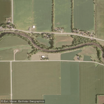
Portage River

Lake Erie
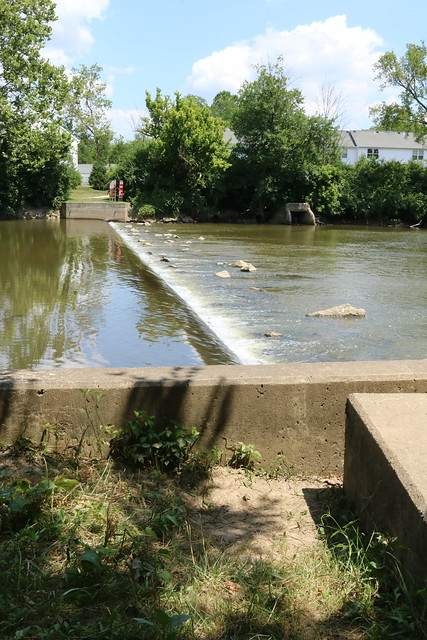
Olentangy River
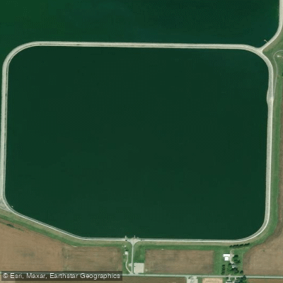
Findlay Reservoir
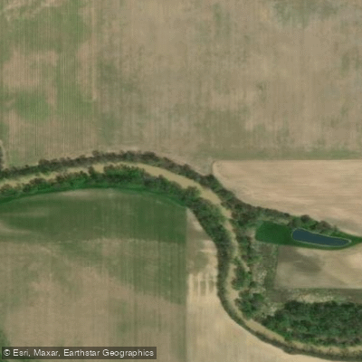
Blanchard River
Explore Ohio waters
Top paddling waters
Popular Cities
Loading popular cities...
Explore near Van Buren Lake
Access points
- Van Buren State Park Canoe Launch Area
- Van Buren State Park Ramp
- Van Buren State Park Boat Ramp
- Van Buren State Park Fishing Access
- Van Buren State Park Fishing Access
- Rocky Ford Creek Bridge
- Rocky Ford Creek Bridge
- Rocky Ford Br Portage Bridge
- Rocky Ford Creek Bridge
- Rocky Ford Creek Bridge
- Rocky Ford Creek Bridge
- Rocky Ford Creek Bridge
- All 21 spots
Nearby waters
More in Ohio

Smarter Paddling Starts in the App.
Paddleways gives you everything you need to plan smarter, paddle better, and own every trip from first launch to takeout.