Findlay Reservoir
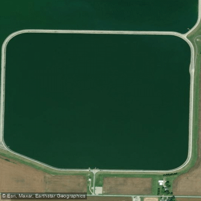
Findlay Reservoir
- Boat Ramps
- 2
- Access Points
- 2
- Campsites
- 0
Findlay Reservoir consists of two connected upground reservoirs southeast of Findlay, Ohio. Reservoir #1 covers 186 acres with depths of 20-28 feet, while Reservoir #2 spans 645 acres with depths of 16-33 feet. Both reservoirs feature limestone riprap-covered earthen dikes with 2:1 side slopes, creating a combined 5.3-mile perimeter.
Boat access is regulated with specific restrictions. Both reservoirs allow canoes, sailboats, rowboats, and approved inflatable watercraft. While kayaks were historically excluded, regulations now permit kayaks with a minimum length of 9 feet. Reservoir #1 allows only electric motors up to 6hp, while Reservoir #2 operates as a "No Wake Zone" with motors limited to 10hp.
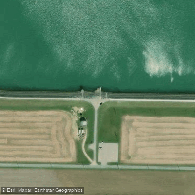
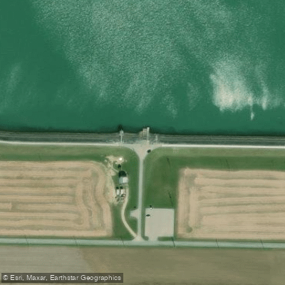
Each reservoir has a boat ramp, with Reservoir #2 featuring a floating fishing pier and restroom facilities. Five parking areas surround Reservoir #2, including accessible parking near both boat ramps. The Riverbend Recreation Area, less than a mile north, offers additional amenities including camping and picnic facilities.
The reservoirs serve as municipal water supplies, with water pumped in from the Blanchard River and local wells. The bottom terrain is relatively flat with minimal aquatic vegetation. Reservoir #2's conservation pool, covering approximately 160 acres, contains the deepest water at 33 feet.
Boating is permitted 24 hours a day, year-round, though all watercraft must meet size requirements: single-hull vessels between 10-20 feet and multi-hull vessels between 9-24 feet. Operators must be 18 years old or possess a valid driver's license. Sailboards and windsurfers are prohibited.
The reservoirs' primary function as drinking water sources influences regulations. These upground reservoirs, built in 1950 and 1968 respectively, represent significant water management infrastructure, with Reservoir #2 being one of Ohio's largest upground reservoirs at 5 billion gallons capacity.
Water access, boat ramps & amenities
Learn how to get on Findlay Reservoir. Uncover great paddling access points, boat ramps, and all the facilities you need for an unforgettable day on the water. Some locations shown may border or include private property. Always check property boundaries and applicable regulations before visiting. PaddleWays's Public & Private Land layer can help you plan your access with confidence.
Paddle smarter with real-time insights
Whether you're en route and conditions shift or you're looking for the best spot based on current flows, we enable you to make informed decisions on the fly.








Find Places to Paddle

Over 400,000 Places to Paddle
Every user gets free access to launch points, boat ramps, and public property parcels.


Water and weather conditions (10 day forecast)
See the best times to paddle Findlay Reservoir and check the forecast before you go.
No forecast data available.
Paddling near Findlay Reservoir
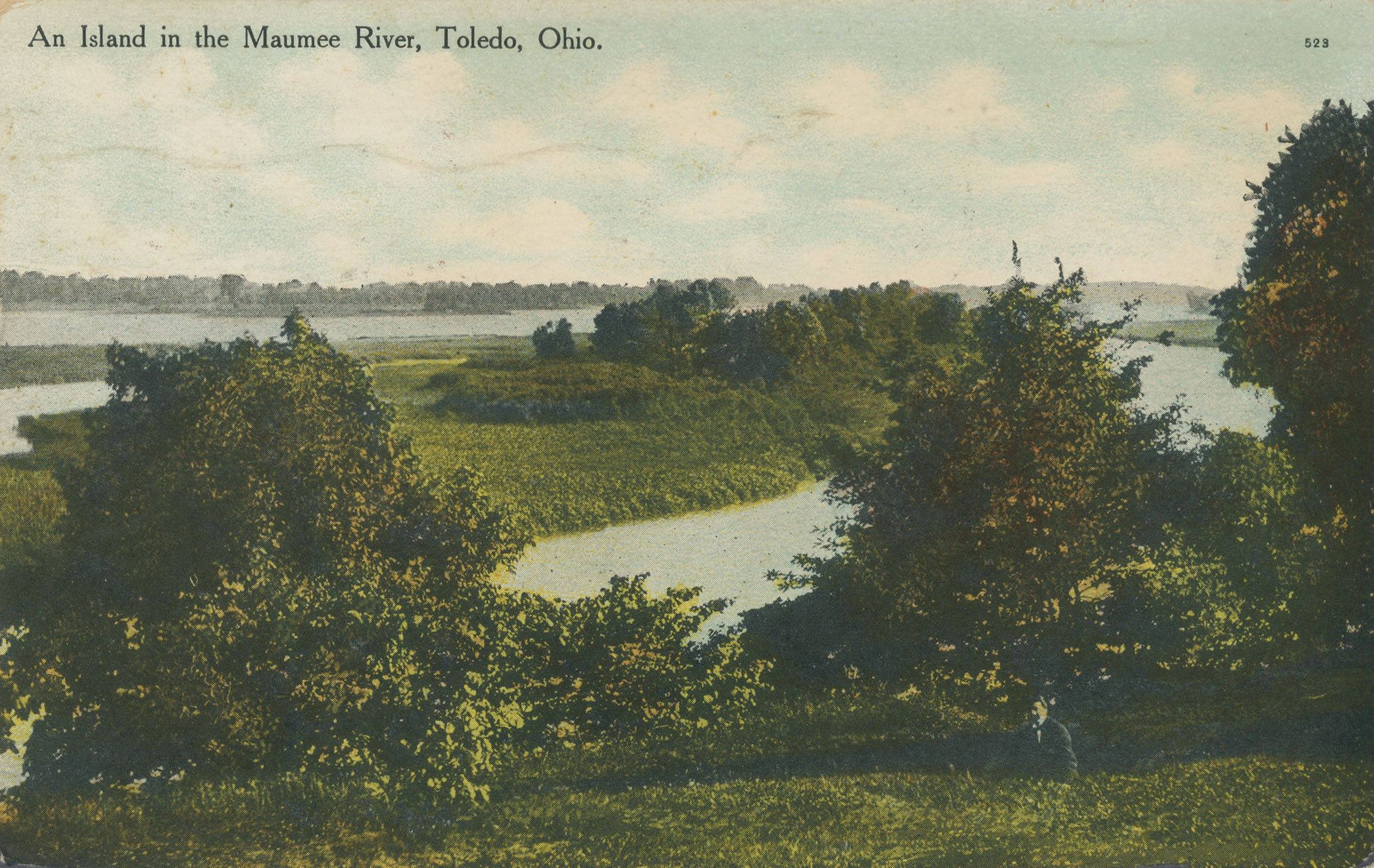
Maumee River
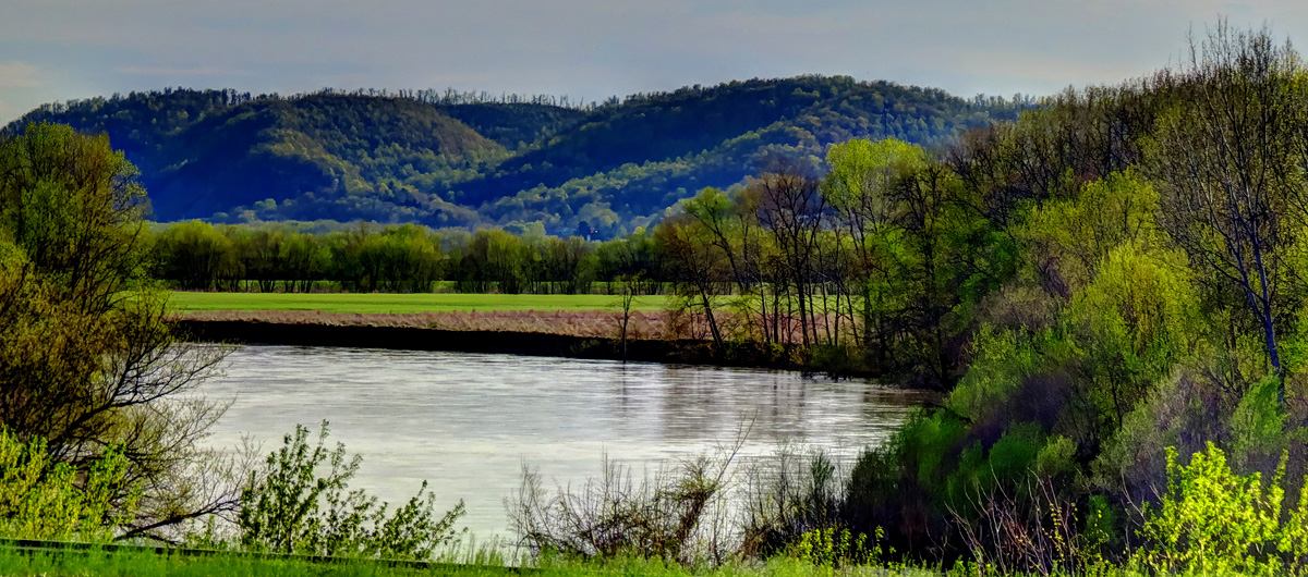
Scioto River
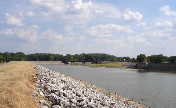
Sandusky River
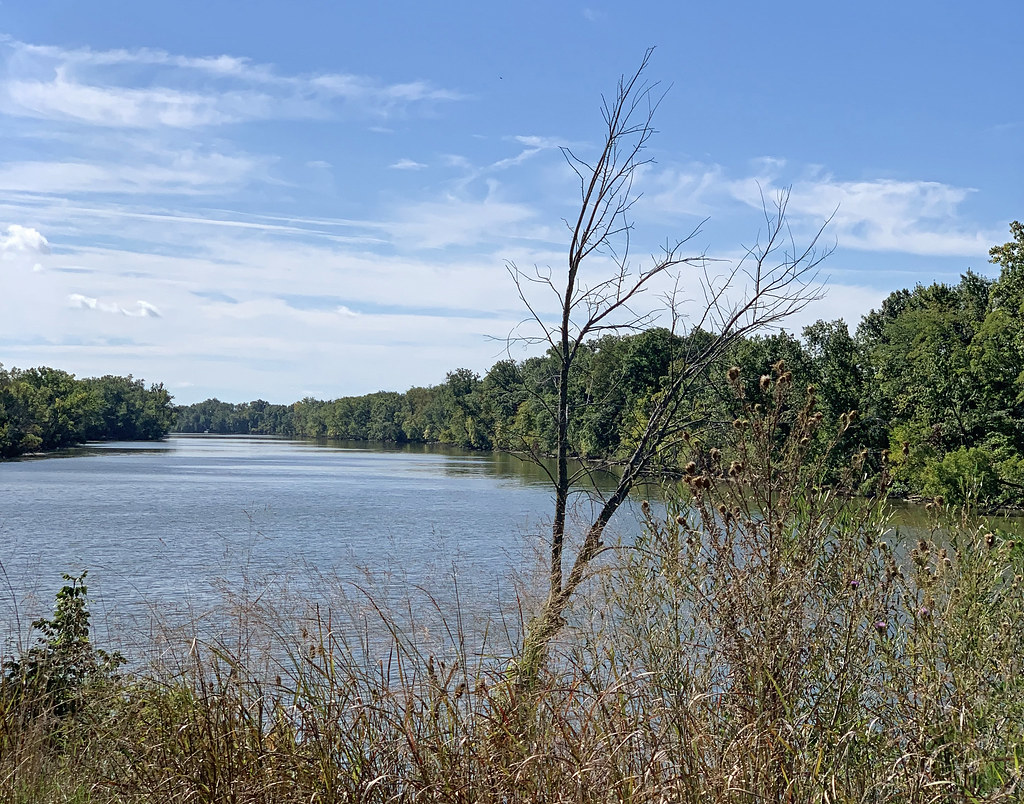
Auglaize River
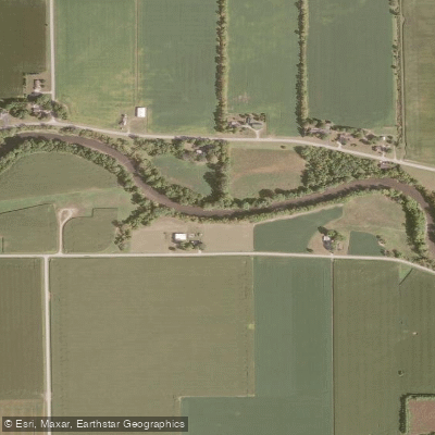
Portage River

Lake Erie
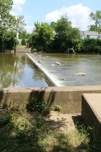
Olentangy River
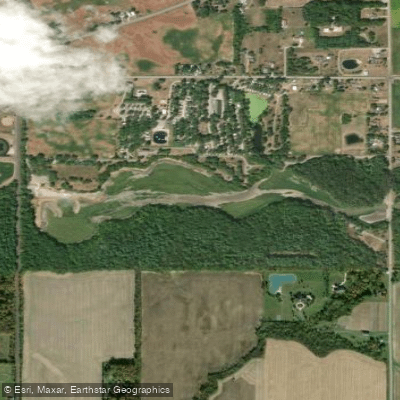
Van Buren Lake
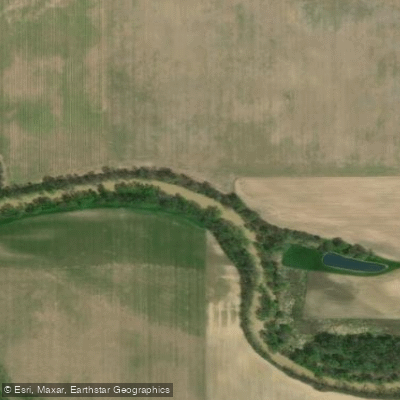
Blanchard River
Explore Ohio waters
Top paddling waters
Popular Cities
Loading popular cities...
Explore near Findlay Reservoir
Access points
Nearby waters
More in Ohio

Smarter Paddling Starts in the App.
Paddleways gives you everything you need to plan smarter, paddle better, and own every trip from first launch to takeout.