Portage River
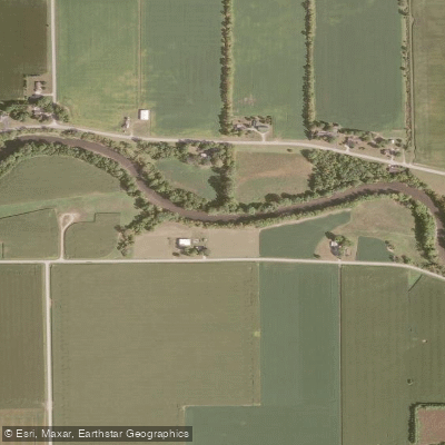
Portage River
- Boat Ramps
- 8
- Access Points
- 9
- Campsites
- 3
The Portage River is a scenic waterway in northwest Ohio, originating in Wood County and flowing northeast for approximately 36 miles before emptying into Lake Erie at Port Clinton. This slow-moving river meanders through a mix of rural farmland, small towns, and natural areas across Wood, Sandusky, and Ottawa counties. Recently designated as Ohio's 17th State Water Trail, the Portage River offers excellent paddling opportunities for kayakers and canoeists of various skill levels. The river is primarily flatwater with occasional riffles, making it suitable for beginners while still providing enough variety to keep experienced paddlers engaged.
The most popular paddling sections run from Pemberville to Port Clinton, with notable stops in Woodville, Elmore, and Oak Harbor. The Portage River Water Trail features several distinct sections: - Pemberville to Woodville: A peaceful stretch through farmland - Woodville to Elmore: More challenging with small islands and easy rapids - Elmore to Oak Harbor: A scenic 9-mile trip, considered the most picturesque - Oak Harbor to Port Clinton: A wider, slower section approaching Lake Erie
Paddling is best from late spring through early fall when water levels are optimal. The river's ecosystem supports diverse wildlife, including various fish species, waterfowl, and occasional bald eagles. Paddlers can explore natural areas like Little Portage Wildlife Area and Darby Marsh along the route.
Key access points include William Henry Harrison Park in Pemberville, Trail Marker Park in Woodville, Riverbend Park in Elmore, and multiple locations in Oak Harbor and Port Clinton. These towns offer amenities and glimpses into the region's history and culture.
Safety considerations include watching for low-head dams, particularly near Elmore, and being aware of water levels which can affect paddling conditions. Local outfitters like Portage River Paddling Company offer rentals and guided trips, making it easy for visitors to explore the river.
For those seeking a multi-day adventure, the full 36-mile trail from Pemberville to Port Clinton can be completed in 2-3 days, with camping options available along the route. This journey provides a comprehensive experience of northwest Ohio's landscapes and communities.
The Portage River, once vital for draining the Great Black Swamp in the 19th century, now serves as a recreational gem, offering a tranquil escape and a unique way to connect with Ohio's natural and cultural heritage.
Water access, boat ramps & amenities
Learn how to get on Portage River. Uncover great paddling access points, boat ramps, and all the facilities you need for an unforgettable day on the water. Some locations shown may border or include private property. Always check property boundaries and applicable regulations before visiting. PaddleWays's Public & Private Land layer can help you plan your access with confidence.
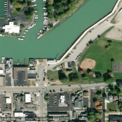
Paddle smarter with real-time insights
Whether you're en route and conditions shift or you're looking for the best spot based on current flows, we enable you to make informed decisions on the fly.








Find Places to Paddle

Over 400,000 Places to Paddle
Every user gets free access to launch points, boat ramps, and public property parcels.


Water and weather conditions (10 day forecast)
See the best times to paddle Portage River and check the forecast before you go.
Portage River at Woodville OH
All Flow Stations
Paddling near Portage River
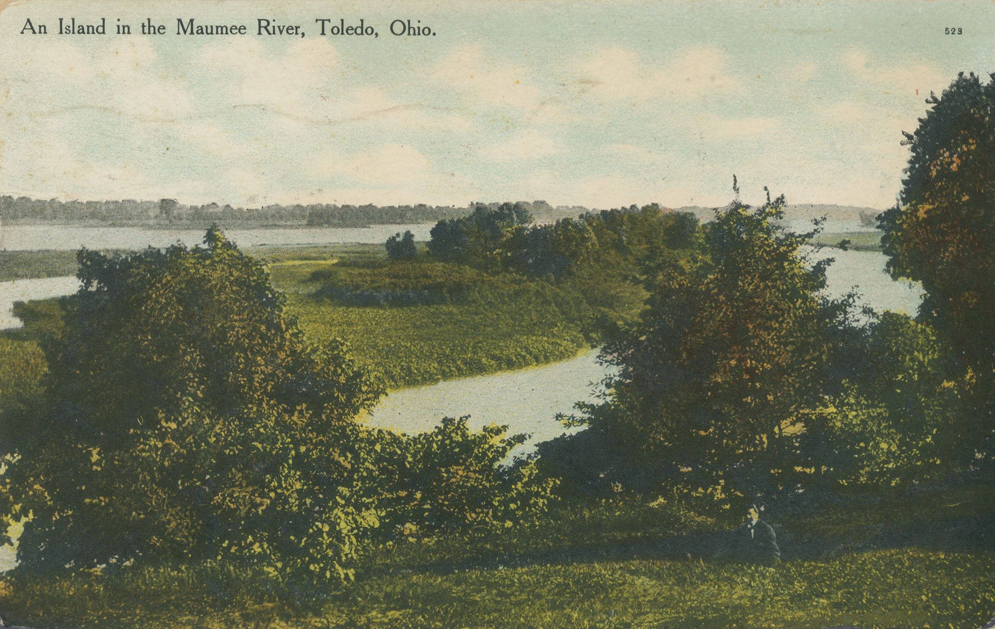
Maumee River

Lake Erie
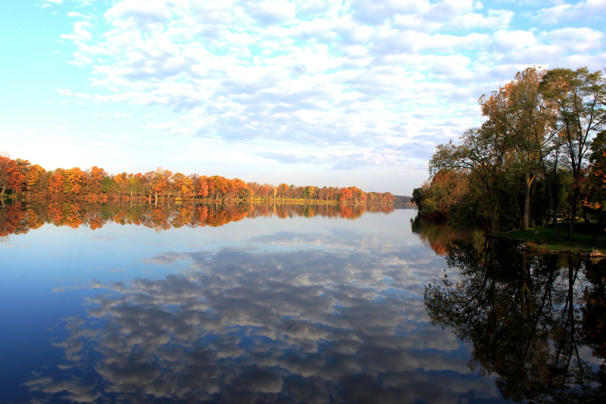
River Raisin
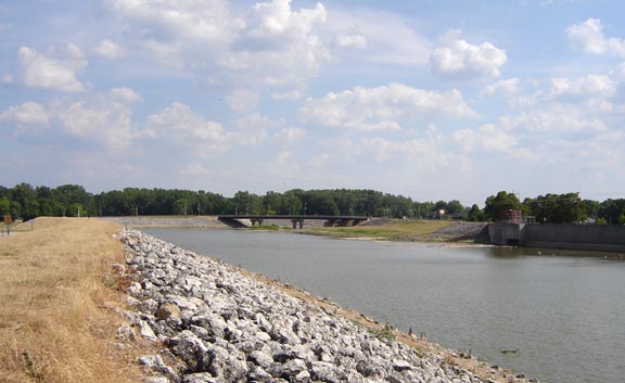
Sandusky River
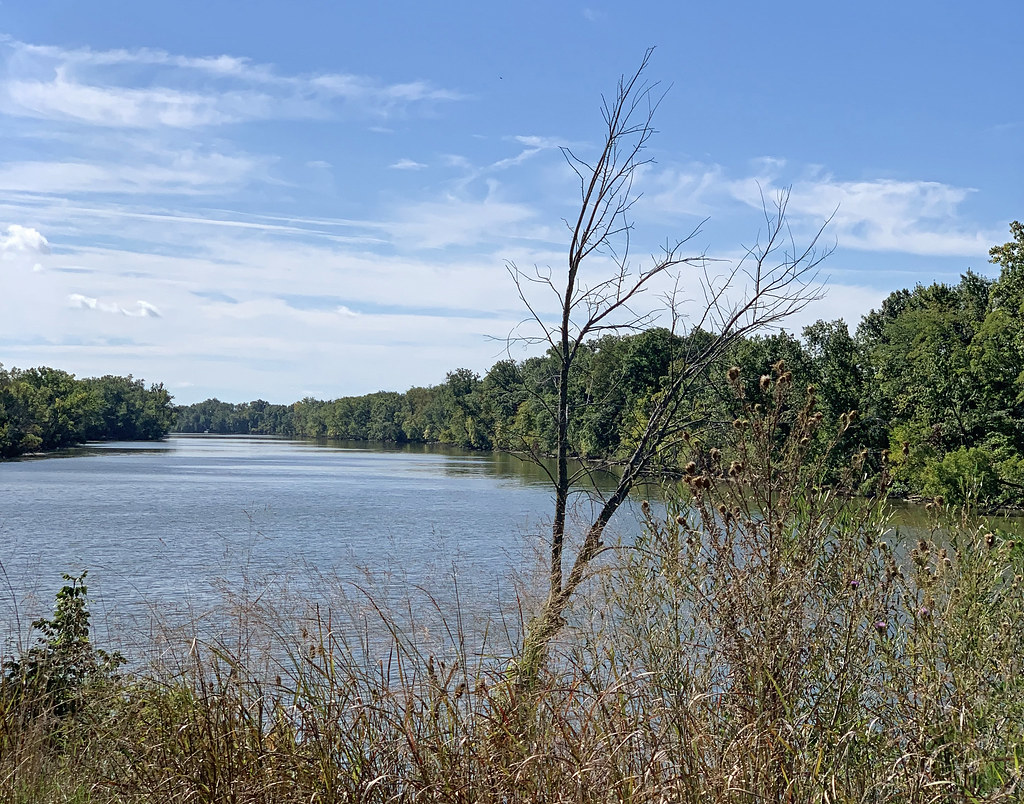
Auglaize River
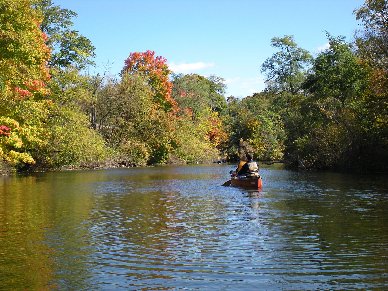
Huron River
Van Buren Lake
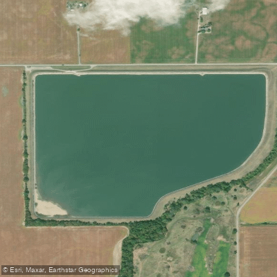
Fostoria Reservoir
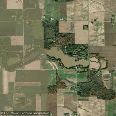
Harrison Lake
Explore Ohio waters
Top paddling waters
Popular Cities
Loading popular cities...
Explore near Portage River
Access points
- Portage River Boat Ramp
- Portage River Boat Ramp
- Portage River Boat Ramp
- Portage River Boat Ramp
- Main Branch Boat Ramp
- Portage River Boat Ramp
- Portage River, Main/middle Branch Boat Ramp
- Portage River Boat Ramp
- Waterworks Park Access
- Mid.br.prtg.ri.wayne.rd. Bridge
- Portage River Bridge
- Sugar Creek Bridge
- All 137 spots
Nearby waters
More in Ohio

Smarter Paddling Starts in the App.
Paddleways gives you everything you need to plan smarter, paddle better, and own every trip from first launch to takeout.