Curated by PaddleWays
RouteFlatwater
- Distance
- 1.2 mi
- Paddle time
- ~0.5 hrs
- Put-in → take-out
- Huron River Boat Ramp
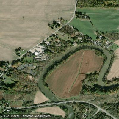
The Huron River in northern Ohio originates from the confluence of its East and West branches just west of Milan in Erie County. The East Branch stretches 30 miles from headwaters in Fitchville Township (Huron County), while the West Branch extends 50 miles from Blooming Grove Township (Richland County). From their meeting point, the main stem flows 14 miles northward through Erie County before emptying into Lake Erie at the city of Huron. The river drains a watershed of 403 square miles, descending from an elevation of 1,090 feet at its source to 573 feet at Lake Erie, averaging a fall of 8.6 feet per mile.
Paddling opportunities concentrate along the lower reaches of the river, primarily in Erie County. The most accessible sections flow through Milan and Huron townships, offering predominantly flatwater conditions suitable for novice paddlers. Coupling MetroPark at River Mile 9 provides small boat access from a 26-acre undisturbed floodplain, while the Huron River Greenway MetroPark offers linear trail access in two disconnected segments along the old Wheeling and Lake Erie Railway corridor. The most popular paddling experience runs from various inland access points downstream to the river's mouth, where paddlers can venture north to Huron Lighthouse on Lake Erie or explore south into the sheltered river environment.
The river's lower section is characterized by slack current, particularly where Lake Erie backwater influences flow patterns. Muddy embankments, marsh flats, and meandering channels define the landscape, bordered by floodplain forests that support diverse wildlife. Paddlers regularly observe bald eagles, great blue herons, egrets, and numerous waterfowl species. Spring brings spectacular displays of Virginia Bluebells along the riverbanks at Coupling MetroPark, creating vivid purple carpets across the floodplain.
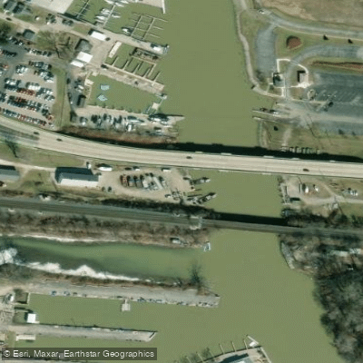
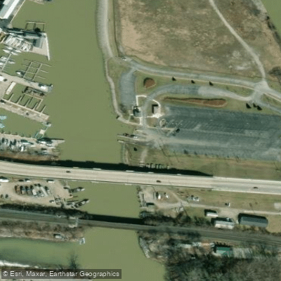
Access points include Coupling MetroPark on State Route 13 in Milan Township, Huron River Greenway MetroPark with trailheads at DuPont Marsh and downtown Milan, and Lake Erie Adventure Company in the city of Huron. The Huron Municipal Boat Basin provides access near the river's mouth between River Miles 0 and 1.
The river's name references the Huron people, though the term itself derives from French explorers. Milan's historic significance as a canal town is preserved along portions of the Greenway, which follows the old Milan Canal towpath. The river is rain-sensitive, requiring paddlers to monitor water levels carefully. Erie MetroParks manages several access points, providing trail networks and recreational facilities. The lower river's proximity to Lake Erie creates unique paddling opportunities combining sheltered river exploration with open-water lighthouse tours.
Curated routes
Hand-picked by the PaddleWays team, with put-ins, take-outs, paddle times and the hazards along the way.
RouteFlatwater
RouteFlatwater
RouteFlatwater
Hazards
No hazards are marked on Huron River yet. That is not the same as none being there: if you find one, report it for the next paddler.
From the community
Nobody has shared a trip on Huron River yet. Paddle it, then tell the next paddler how it went.
See exactly where the public can get on and off the river. Launch points and boat ramps are paired with PaddleWays' public land data so you know where you can legally land.
Public shoreline
11%of the river's shoreline is public
Most of the riverbank is private. Launch, land and camp only at public access points.
Flows, weather and a route-by-route verdict, so you know which stretch of the Huron River is worth paddling today.
Live flows, marked hazards and fresh trip reports from paddlers who were just on the water, all in one place.





Every user gets free access to launch points, boat ramps, and public property parcels.
Loading popular cities...
PaddleWays gives you everything you need to plan smarter, paddle better, and own every trip from first launch to takeout.