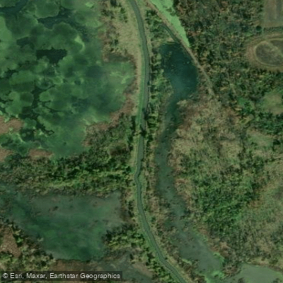
Curated by PaddleWays
RouteClass I
- Distance
- 6.7 mi
- Paddle time
- 2.3 hrs
- Best for
- Kayak, canoe
- Put-in & take-out
- Killbuck Creek Canoe Launch
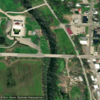
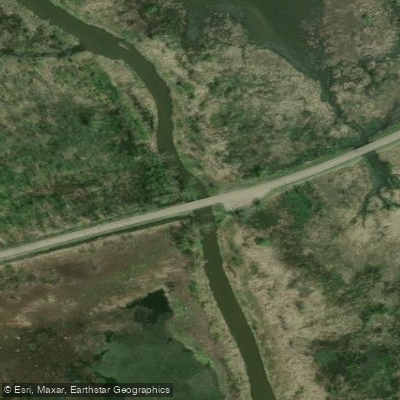
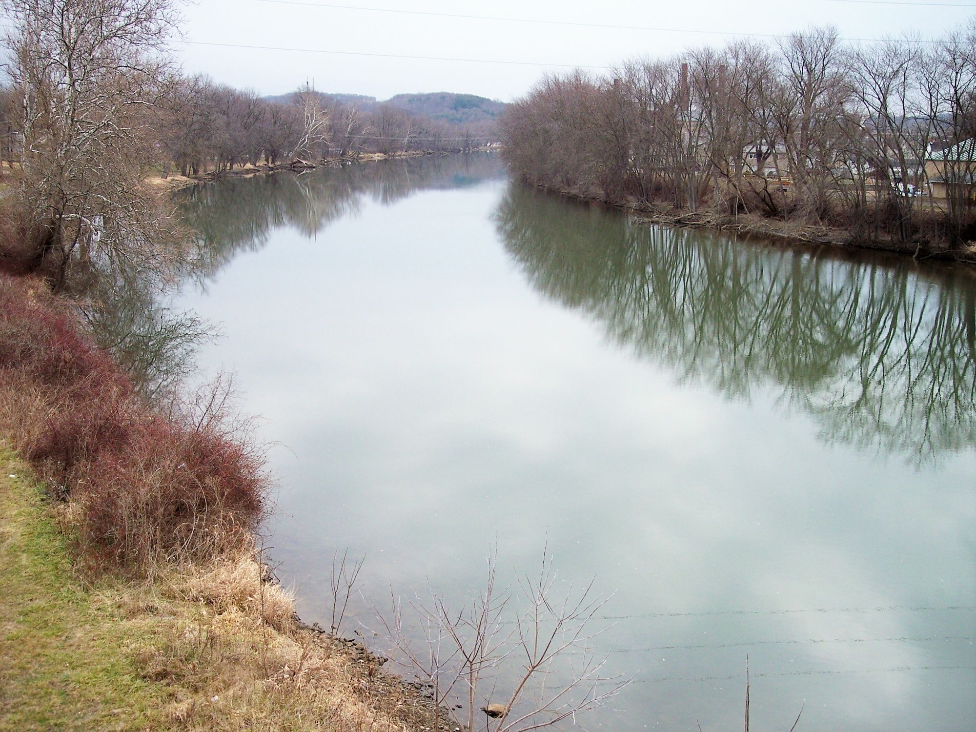
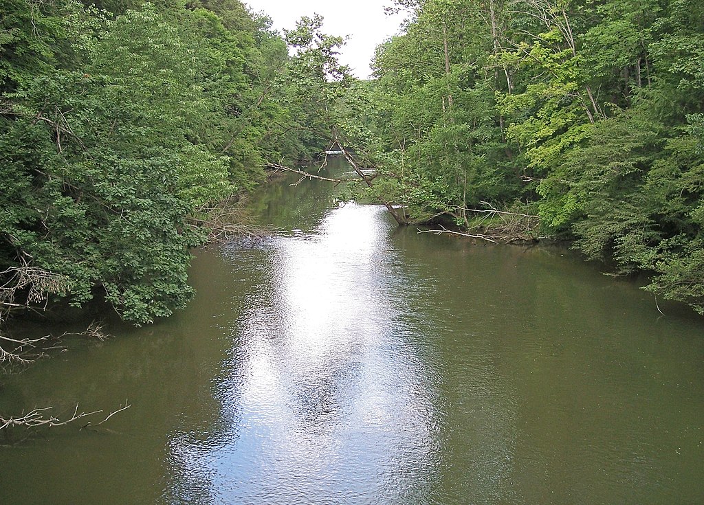
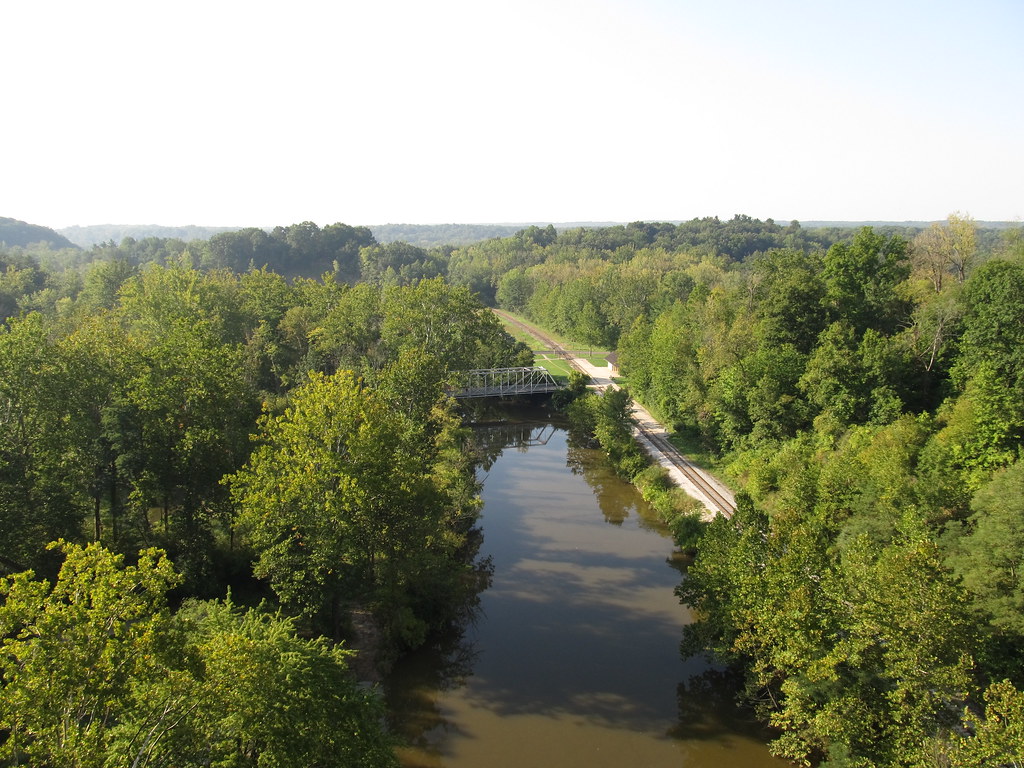
Killbuck Creek is an 81.7-mile long tributary of the Walhonding River in north-central Ohio. It originates near Burbank in Wayne County and flows southwest through Holmes County before joining the Walhonding River near Warsaw in Coshocton County. The creek drains a significant portion of Ohio's Amish country and glaciated region, creating a unique watershed rich in wetlands and wildlife.
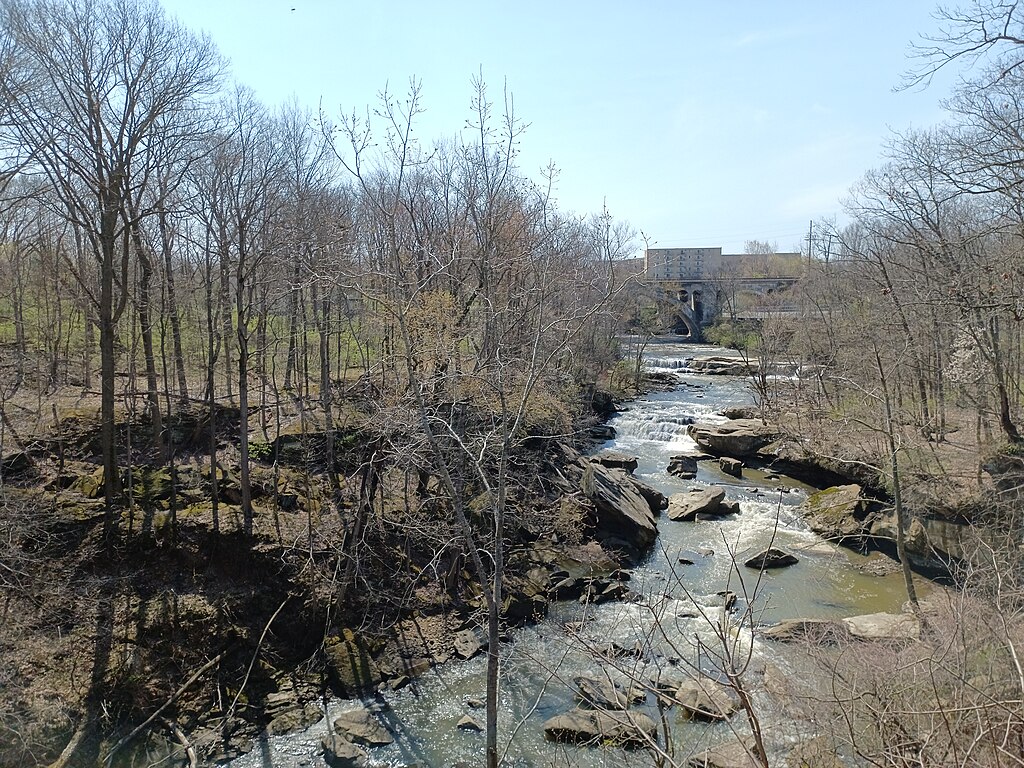
Paddling opportunities on Killbuck Creek range from short day trips to multi-day adventures covering its full length. The creek offers primarily flatwater paddling with occasional easy rapids, making it suitable for beginners and intermediate paddlers. Popular sections include the 15-mile stretch from Township Road 76 near Wooster to County Road 320 near Holmesville, and the 5.6-mile run from Holmes County Fairgrounds to Killbuck. The creek's difficulty is generally rated as Class I, with calm waters and minimal obstacles. However, paddlers should be prepared for potentially muddy banks and limited access points in some areas.
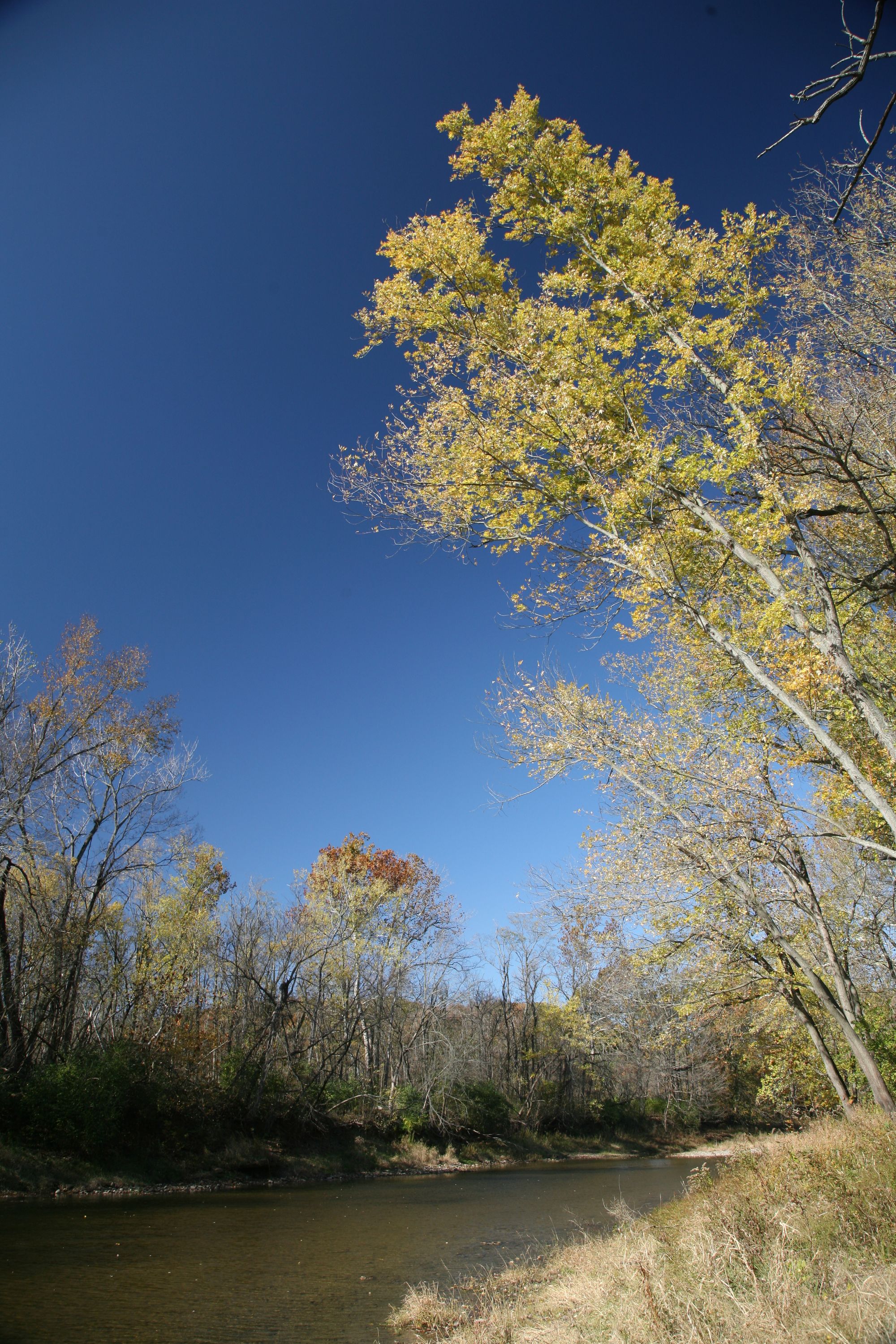
The best paddling season is typically spring through fall, with water levels being most reliable in spring and early summer. Killbuck Creek flows through scenic rural landscapes, offering excellent opportunities for wildlife viewing. The surrounding wetlands and riparian corridors support diverse plant and animal species, including various waterfowl. Paddlers may spot deer, beaver, and numerous bird species along the route.
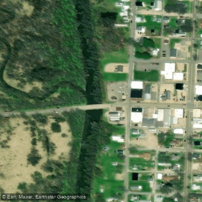
Key landmarks include the town of Killbuck, the Holmes County Fairgrounds, and the Lower Killbuck Creek Wildlife Area. The creek's journey through Ohio's Amish country adds cultural interest to paddling trips, with occasional sightings of horse-drawn buggies and traditional farms along the banks.
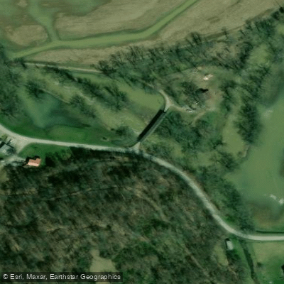
Access points are available at several bridges and public areas, including Burbank Park, Township Road 76 near Wooster, Holmes County Fairgrounds, and Front Street in Killbuck. Major nearby towns include Wooster, Millersburg, and Holmesville.
Historically, Killbuck Creek has played a significant role in the region's agriculture and settlement patterns. Today, it serves as an important recreational resource and is the focus of conservation efforts to protect its water quality and surrounding habitats.
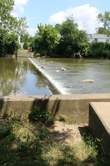
Safety considerations include watching for submerged obstacles, especially after high water events, and being aware of hunting seasons when paddling near wildlife areas. Paddlers should also respect private property along the banks and be prepared for limited facilities in some stretches.
For those interested in multi-day trips, the full 81-mile length of Killbuck Creek offers an extended adventure through the heart of Ohio's scenic countryside, though camping options may be limited and should be planned in advance.
Curated routes
Hand-picked by the PaddleWays team, with put-ins, take-outs, paddle times and the hazards along the way.
RouteClass I
RouteFlatwater
RouteFlatwater
Hazards
No hazards are marked on Killbuck Creek yet. That is not the same as none being there: if you find one, report it for the next paddler.
From the community
Nobody has shared a trip on Killbuck Creek yet. Paddle it, then tell the next paddler how it went.
See exactly where the public can get on and off the river. Launch points and boat ramps are paired with PaddleWays' public land data so you know where you can legally land.
Public shoreline
5%of the river's shoreline is public
Most of the riverbank is private. Launch, land and camp only at public access points.
Flows, weather and a route-by-route verdict, so you know which stretch of the Killbuck Creek is worth paddling today.
Live flows, marked hazards and fresh trip reports from paddlers who were just on the water, all in one place.





Every user gets free access to launch points, boat ramps, and public property parcels.
Loading popular cities...
PaddleWays gives you everything you need to plan smarter, paddle better, and own every trip from first launch to takeout.