Fostoria Reservoir
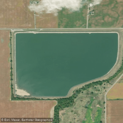
Fostoria Reservoir
- Boat Ramps
- 2
- Access Points
- 2
- Campsites
- 0
Fostoria Reservoir, also known as Lake LeComte (Reservoir #5), is a 128-acre upground reservoir located approximately 2.5 miles southwest of Fostoria, Ohio. Built in 1958 and named for Charles E. Lecomte, the first Fostoria airman killed in WWII, the reservoir has an average depth of 28 feet and obtains its water by pumping from the East Branch Portage River.
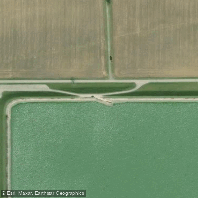
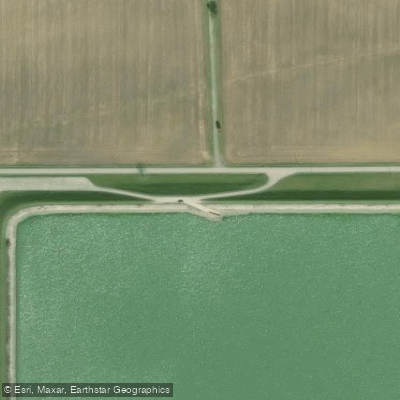
The primary boat access is via a concrete boat ramp on the northwest corner of the reservoir off Hancock County Road 23, approximately 3 miles north of State Route 224. The facility includes handicapped-accessible parking near the boat ramp. A 1.8-mile stone walking trail surrounds the reservoir.
Motorized boats are permitted with a 9.9 horsepower limit. During summer months, water temperatures can reach into the 80s Fahrenheit, with documented temperatures of 84 degrees in August. The reservoir features relatively open water with minimal shoreline development or natural features. The landscape is characterized by earthen dikes and limestone-covered shorelines designed to prevent erosion.
The reservoir tends to experience significant wave action, which paddlers should be prepared for. The surrounding area is primarily farmland and woods, offering little protection from wind. A notable feature is the absence of aquatic vegetation or underwater structure, creating an environment more suited to open-water paddling than exploration.
Veterans Memorial Reservoir (Reservoir #6), a 160-acre body of water, lies immediately north of Lake LeComte and can be accessed via a boat ramp on the northern edge off Washington Township Road 218. This connected reservoir system features a peninsula with prominent electric towers, providing one of the few notable landmarks for navigation.
Waterfowl hunting is permitted with appropriate permits obtained from the Fostoria Municipal Building. The reservoirs serve as part of Fostoria's municipal water supply system, highlighting their primary role as utility infrastructure rather than recreational facilities.
Water access, boat ramps & amenities
Learn how to get on Fostoria Reservoir. Uncover great paddling access points, boat ramps, and all the facilities you need for an unforgettable day on the water. Some locations shown may border or include private property. Always check property boundaries and applicable regulations before visiting. PaddleWays's Public & Private Land layer can help you plan your access with confidence.
Paddle smarter with real-time insights
Whether you're en route and conditions shift or you're looking for the best spot based on current flows, we enable you to make informed decisions on the fly.








Find Places to Paddle

Over 400,000 Places to Paddle
Every user gets free access to launch points, boat ramps, and public property parcels.


Water and weather conditions (10 day forecast)
See the best times to paddle Fostoria Reservoir and check the forecast before you go.
No forecast data available.
Paddling near Fostoria Reservoir
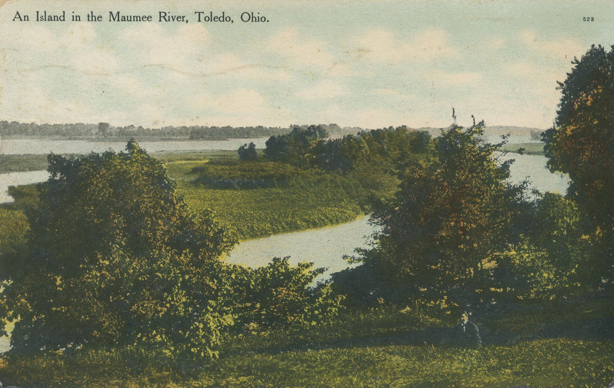
Maumee River
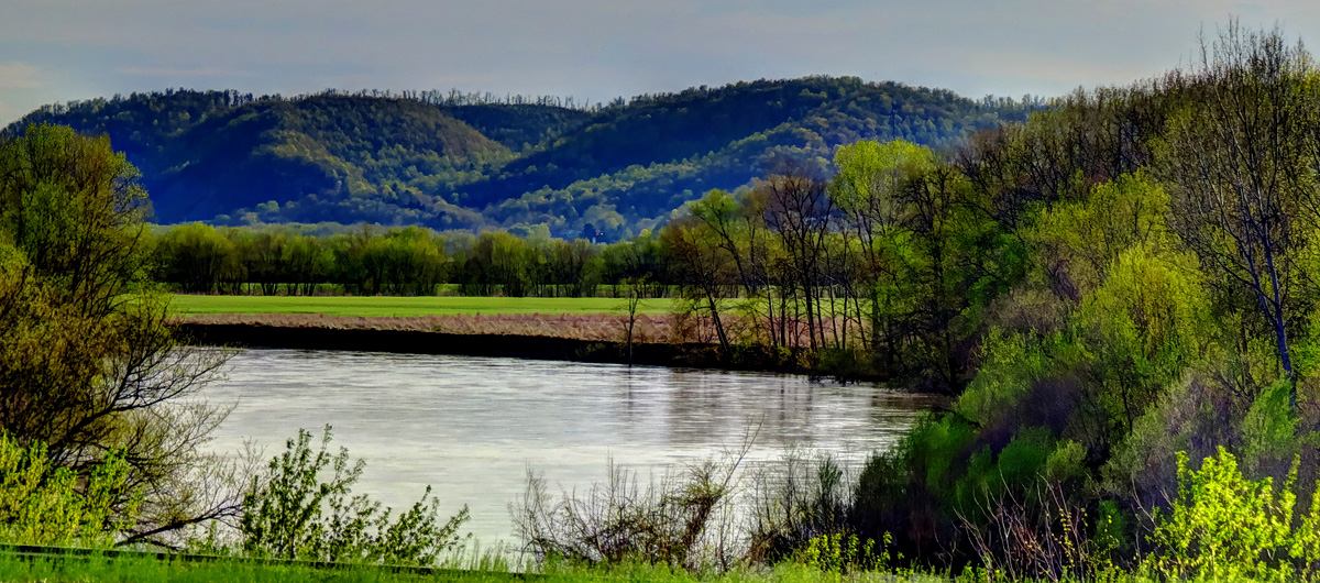
Scioto River
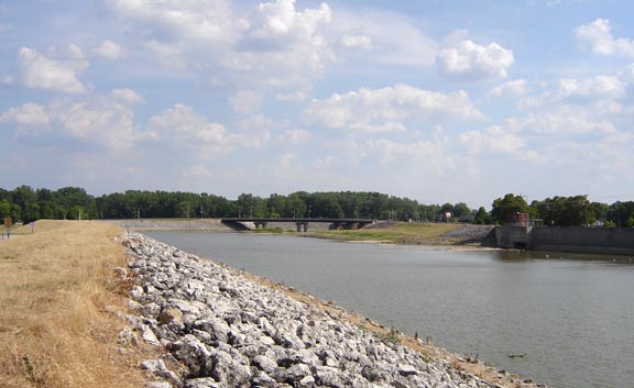
Sandusky River
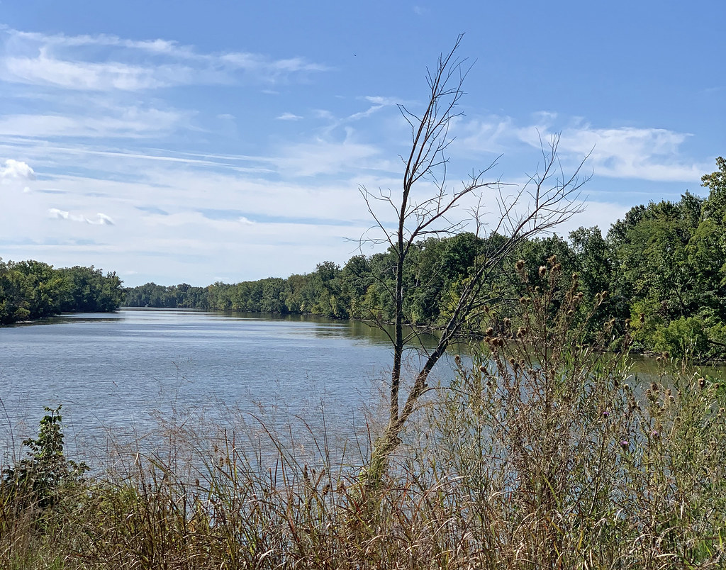
Auglaize River
Portage River

Lake Erie
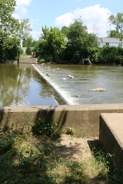
Olentangy River
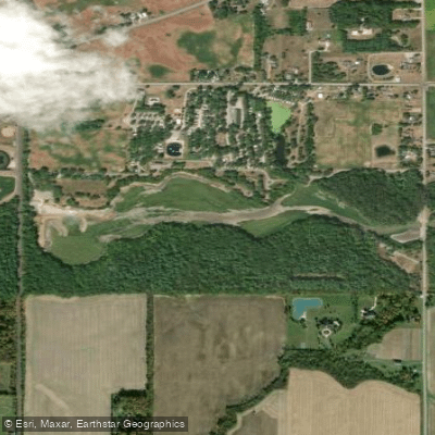
Van Buren Lake
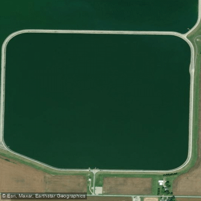
Findlay Reservoir
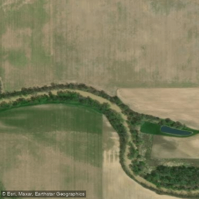
Blanchard River
Explore Ohio waters
Top paddling waters
Popular Cities
Loading popular cities...
Explore near Fostoria Reservoir
Access points
- Lake LaComte Boat Ramp
- Lake Lacomte Boat Ramp
- Tobias Martin Ditch Bridge
- Tobias Martin Jt Co Ditc Bridge
- Tobias Martin Ditch Bridge
- E. Br. Portage River # Bridge
- East Br Portage River Bridge
- E.branch Portage River Bridge
- Wolf Creek Bridge
- E. Br. Portage River # Bridge
- Streng Ditch Bridge
- Joseph Boley Bridge
- All 23 spots
Nearby waters
More in Ohio

Smarter Paddling Starts in the App.
Paddleways gives you everything you need to plan smarter, paddle better, and own every trip from first launch to takeout.