Applegate River
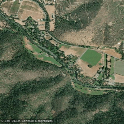
Applegate River
- Boat Ramps
- 3
- Access Points
- 19
- Campsites
- 6
The Applegate River is a 51-mile long tributary of the Rogue River in southern Oregon. Originating in the Siskiyou Mountains near the California border, it flows generally northwest until joining the Rogue River near Grants Pass. The river drains a watershed of approximately 698 square miles, with major tributaries including the Little Applegate River and Williams Creek.
The Applegate offers diverse paddling opportunities across several distinct sections. The Upper Applegate, above Applegate Lake, provides an excellent 4-mile Class III run through a scenic canyon with continuous rapids. Below Applegate Dam, a 13-mile stretch offers Class II-III whitewater with one Class V rapid typically portaged. The Middle Fork of the Applegate features a magical 6-mile Class III run through moss-covered gorges and old-growth forests. Overall, the river ranges from Class II to Class IV in difficulty, with some sections suitable for intermediate paddlers and others requiring advanced whitewater skills.
The paddling season is primarily spring to early summer, typically March through May, dependent on snowmelt and rainfall. The Applegate Valley is known for its lush vegetation, including towering old-growth trees, ferns, and mossy rock formations. Wildlife such as black bears, deer, and various bird species can be spotted along the river corridor. Key landmarks include Applegate Lake, formed by Applegate Dam, and the historic McKee Bridge. Primary access points are located near the towns of Ruch and Jacksonville, with various put-ins and take-outs along the river's course.
The Applegate River holds cultural significance for Native American tribes and played a role in early settlement and gold mining history of southern Oregon. Today, it's an important resource for irrigation, recreation, and wildlife habitat. Safety considerations include fluctuating water levels, potential wood hazards, and the presence of a dangerous Class V rapid below Applegate Dam. Commercial outfitters operate on certain sections, offering guided trips ranging from half-day to full-day experiences.
For those seeking a multi-day adventure, it's possible to combine paddling on the Applegate with camping at designated sites along the river or exploring the surrounding Rogue River-Siskiyou National Forest.
Water access, boat ramps & amenities
Learn how to get on Applegate River. Uncover great paddling access points, boat ramps, and all the facilities you need for an unforgettable day on the water. Some locations shown may border or include private property. Always check property boundaries and applicable regulations before visiting. PaddleWays's Public & Private Land layer can help you plan your access with confidence.
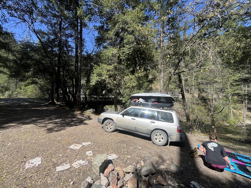
Put In
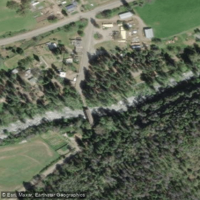
McKee Bridge Day Use Area and Community Kitchen access
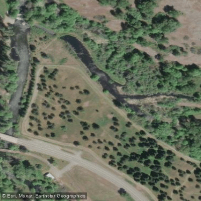
Access
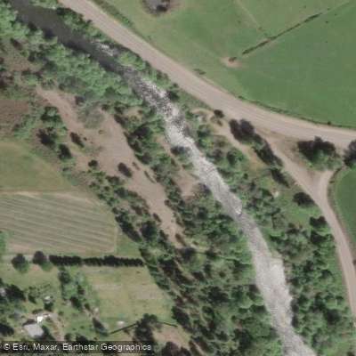
Public river access
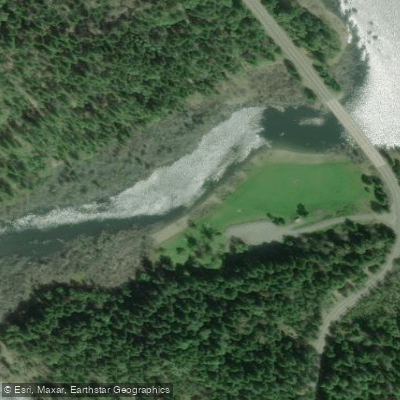
Take Out
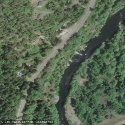
Public river access
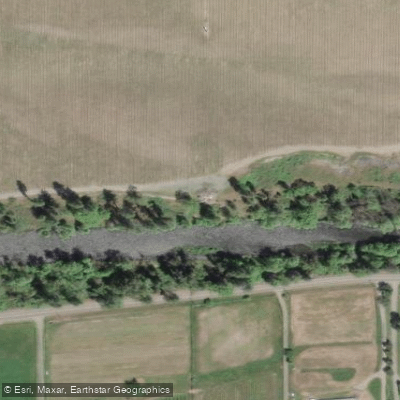
Public River access
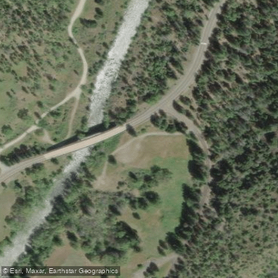
Fisherman's Trail access
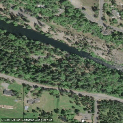
Access
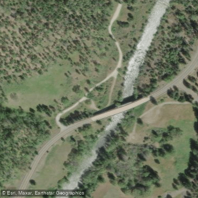
Public river access
Paddle smarter with real-time insights
Whether you're en route and conditions shift or you're looking for the best spot based on current flows, we enable you to make informed decisions on the fly.








Find Places to Paddle

Over 400,000 Places to Paddle
Every user gets free access to launch points, boat ramps, and public property parcels.


Water and weather conditions (10 day forecast)
See the best times to paddle Applegate River and check the forecast before you go.
APPLEGATE RIVER NEAR COPPER, OR
All Flow Stations
Paddling near Applegate River
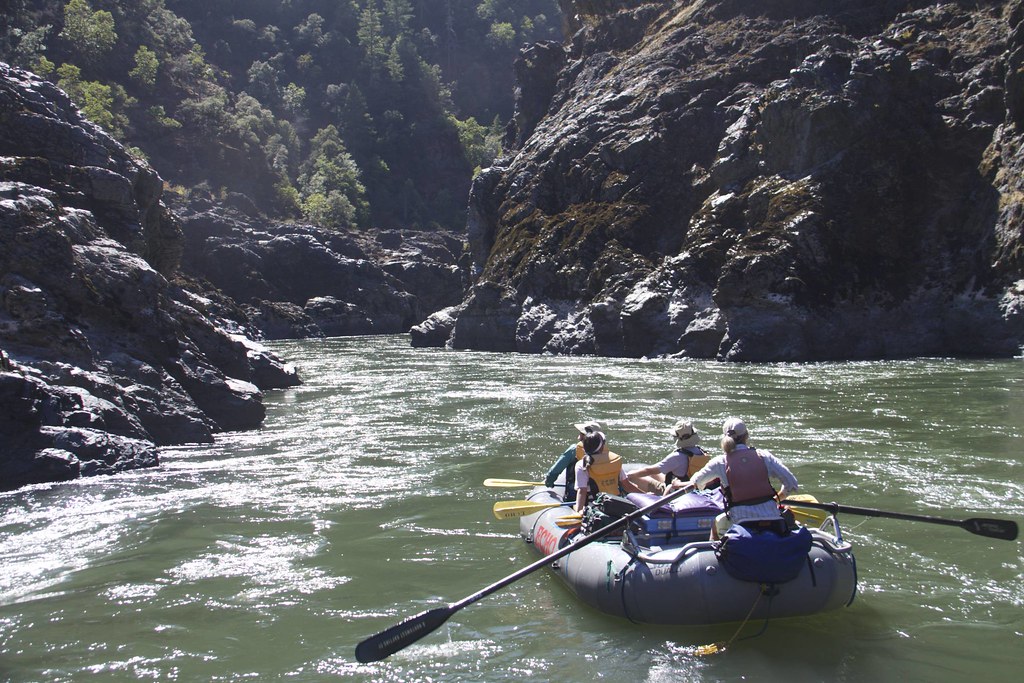
Rogue River
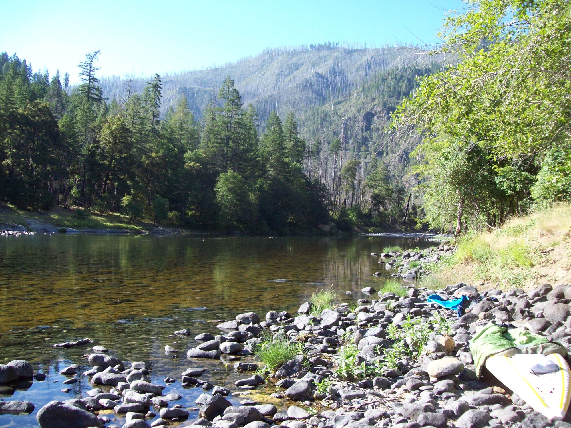
Illinois River

Klamath River
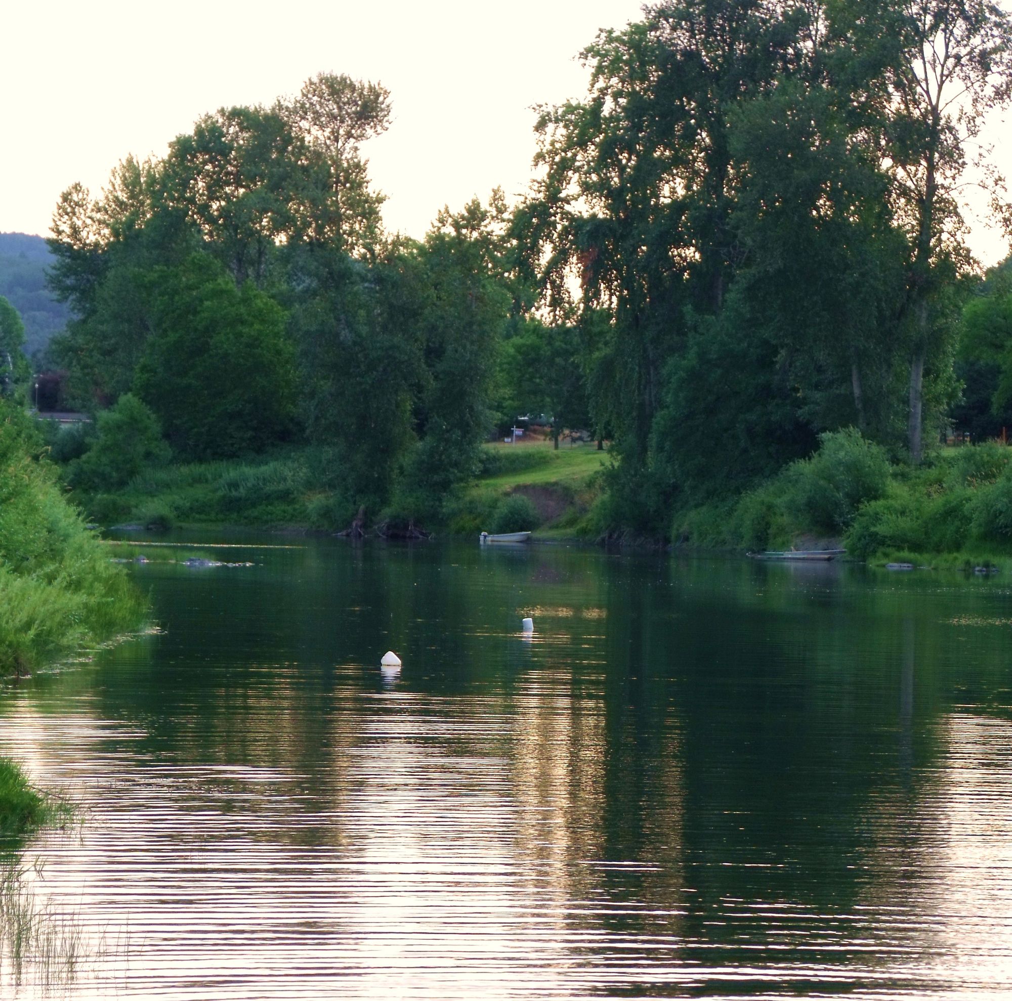
South Umpqua River
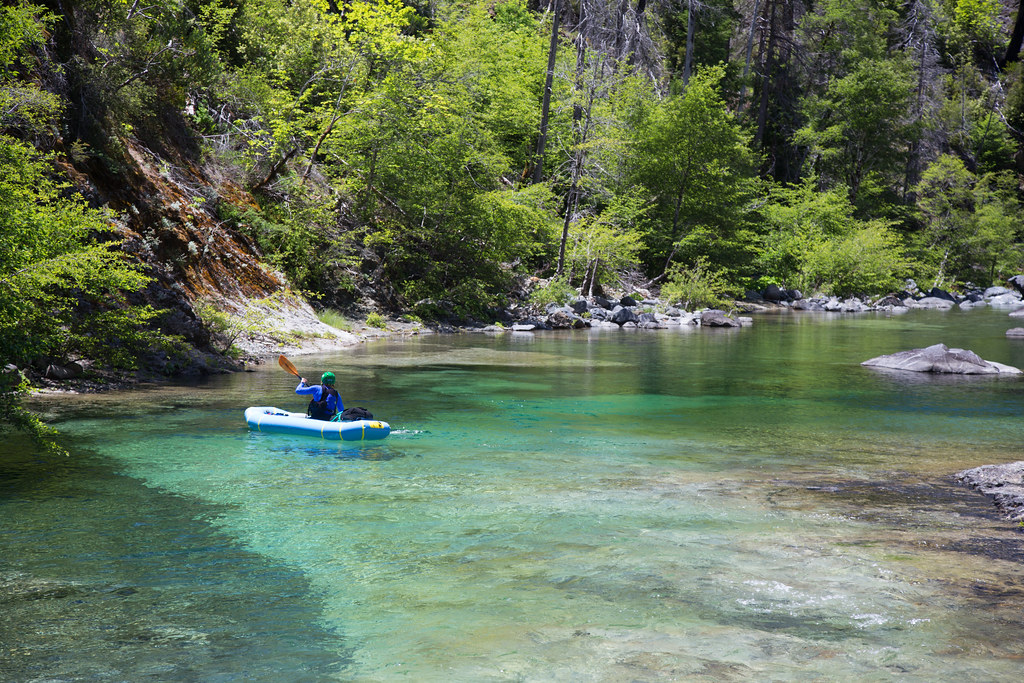
Chetco River
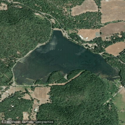
Lake Selmac
Grave Creek
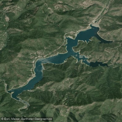
Applegate Lake
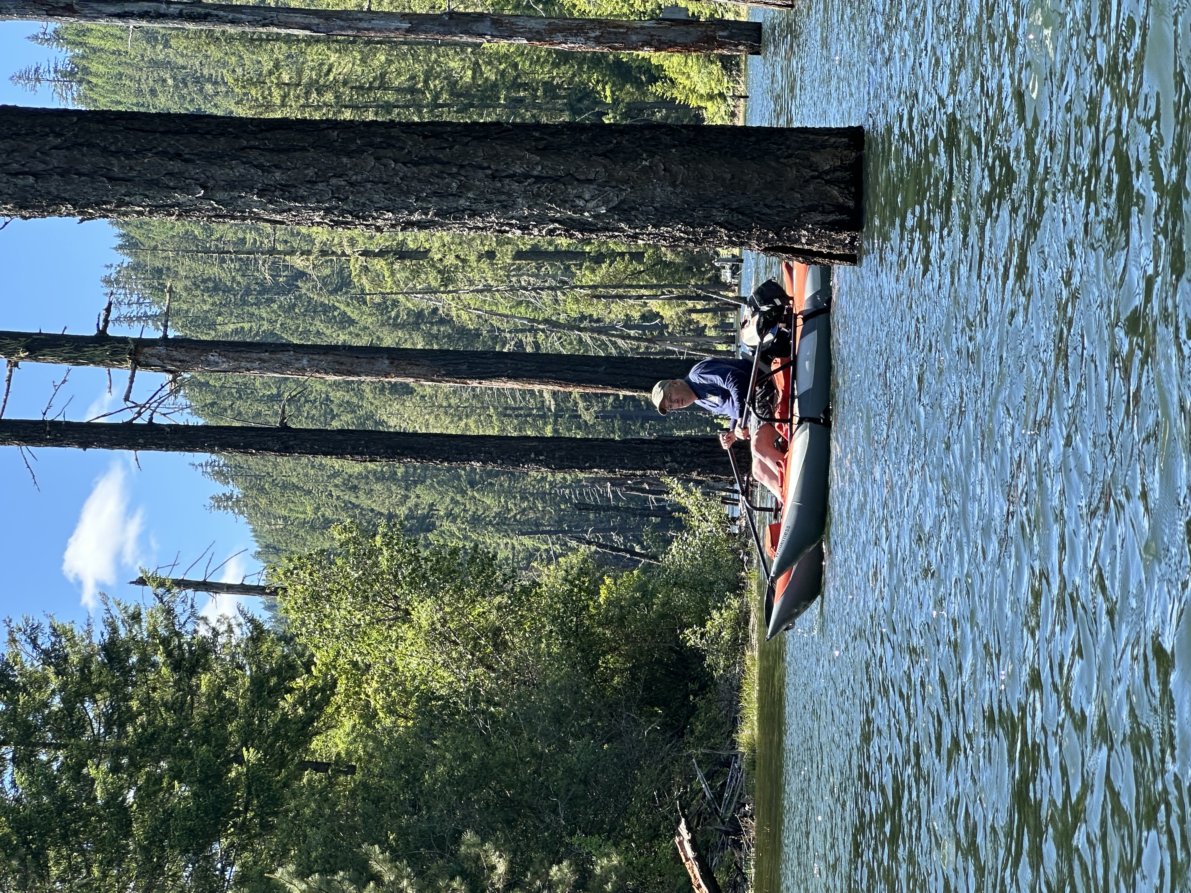
Galesville Reservoir
Explore Oregon waters
Top paddling waters
Popular Cities
Loading popular cities...
Explore near Applegate River
Access points
Nearby waters
More in Oregon

Smarter Paddling Starts in the App.
Paddleways gives you everything you need to plan smarter, paddle better, and own every trip from first launch to takeout.