Curated by PaddleWays
RouteClass III–IV
- Distance
- 6.6 mi
- Paddle time
- ~1.5 hrs
- Best for
- Experienced paddlers
- Put-in → take-out
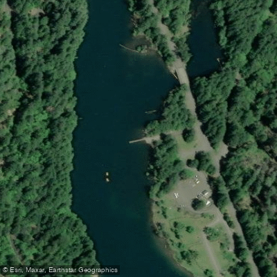
- Lookout Campground Boat Ramp → Forest Glen Boat Ramp
Significant logjam mid-run
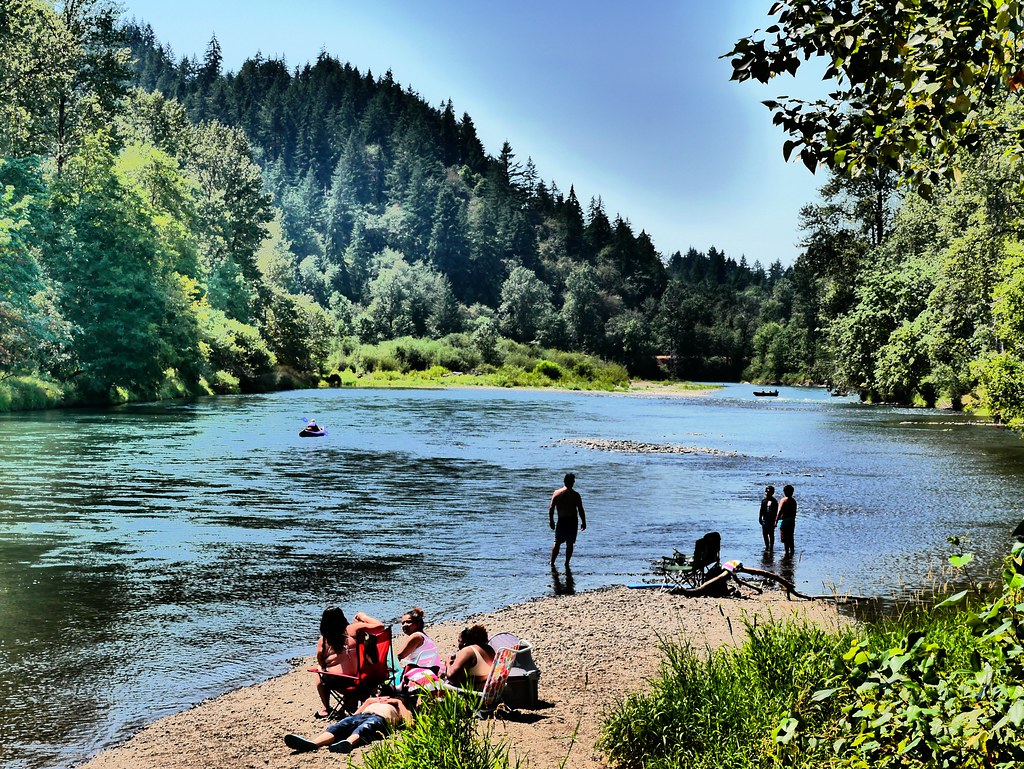
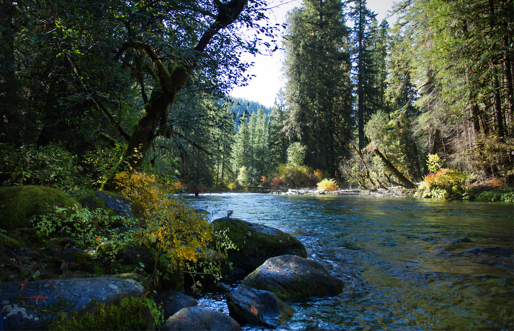
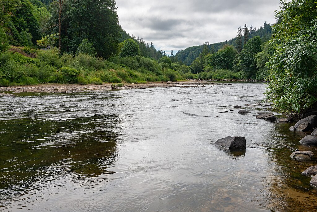
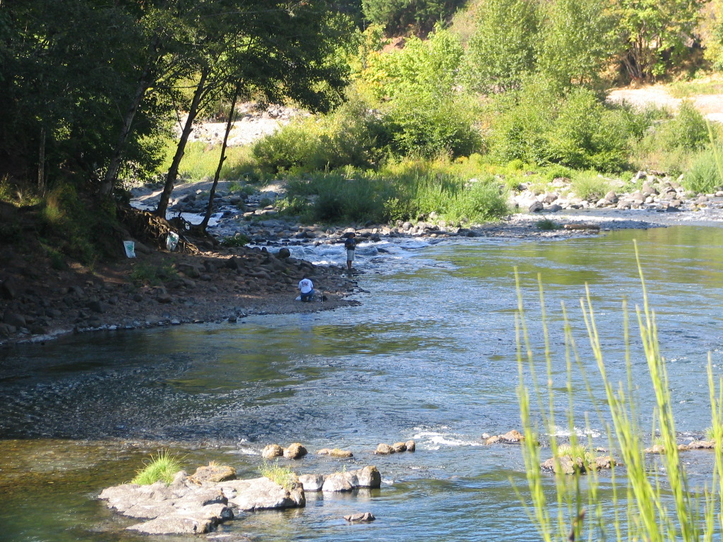
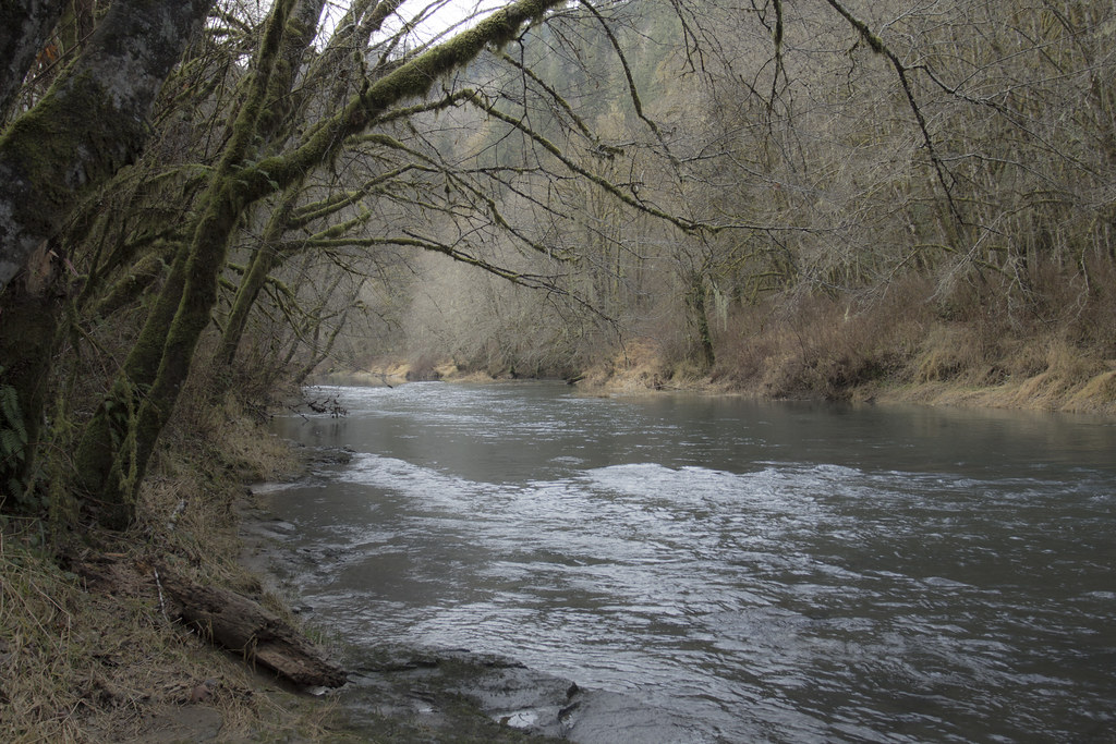
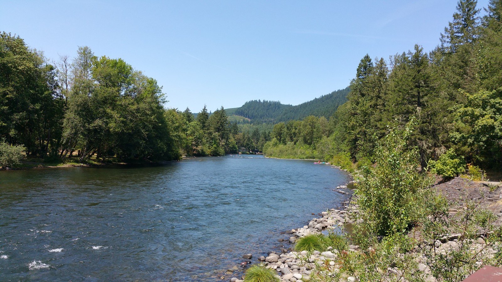
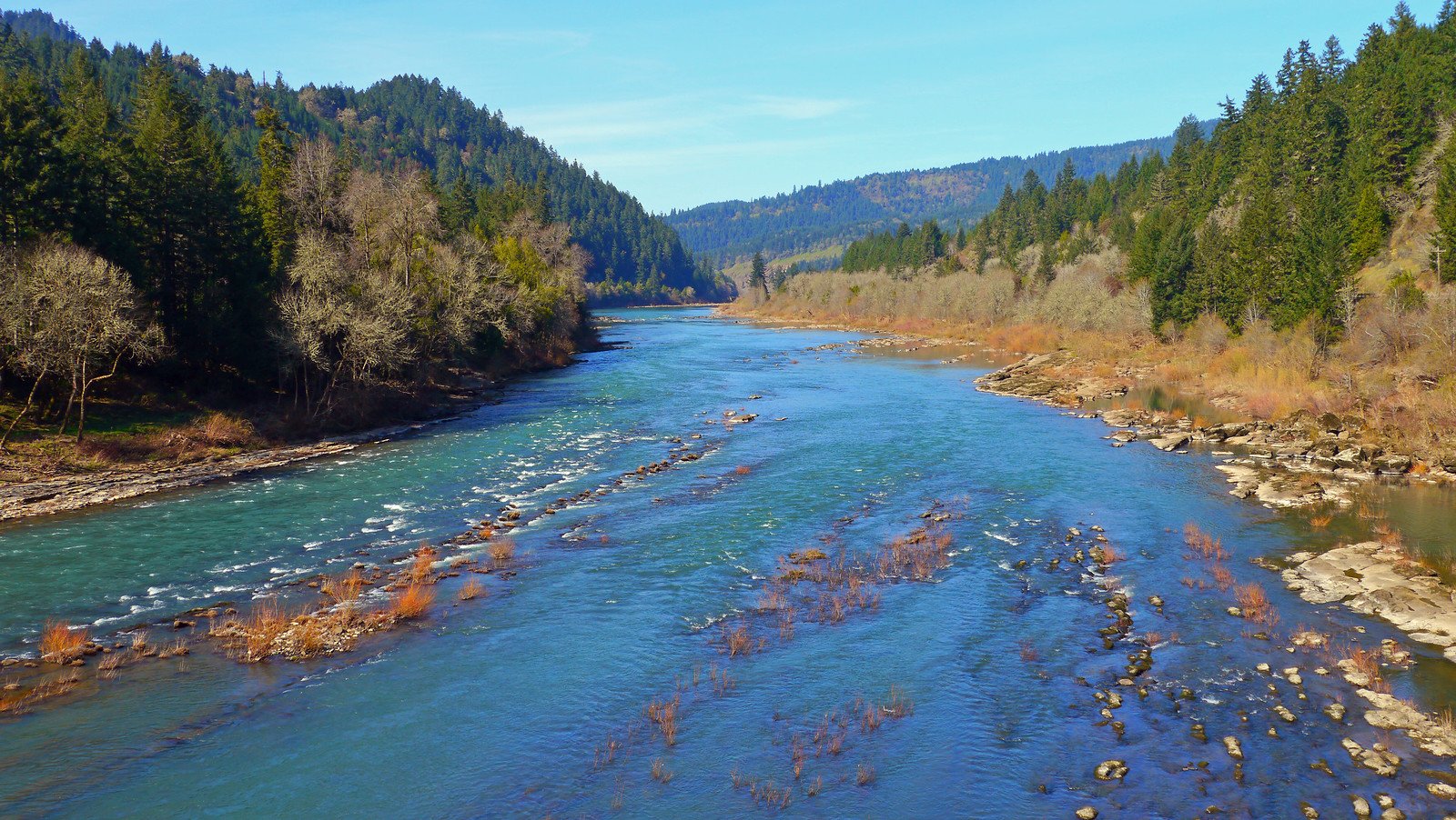
The Blue River is a dynamic waterway in western Oregon, originating in the Cascade Mountains and flowing westward to join the McKenzie River. This tributary of the McKenzie stretches approximately 15 miles through Lane County, draining a watershed characterized by dense forests and steep mountain terrain.
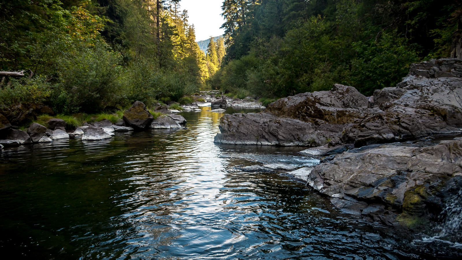
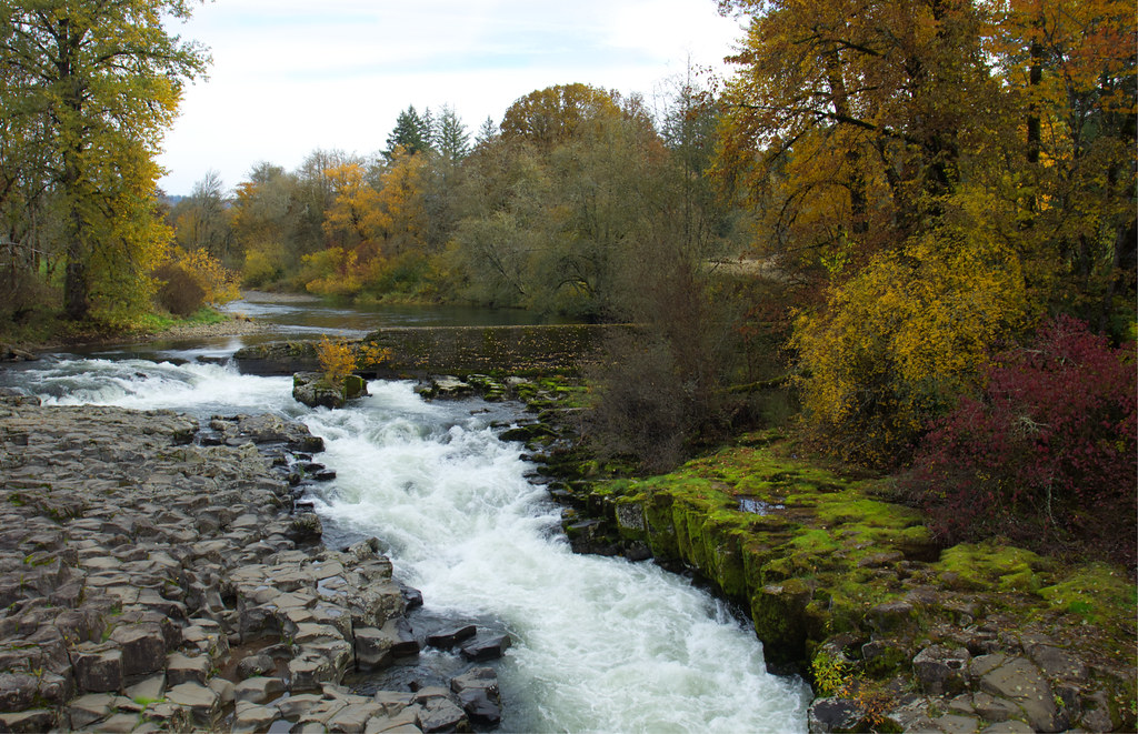
The river offers exciting whitewater opportunities for experienced paddlers, with the most popular run being the 4-mile section from Cook Creek bridge to Blue River Reservoir. This stretch features technical Class IV-V rapids cascading through a series of tight gorges, providing a thrilling creek-like experience. The river's character is defined by numerous fun drops, small waterfalls, and boulder gardens.
Lookout Creek, a key tributary, joins the Blue River just above the reservoir and offers an additional 2.5 miles of Class III-IV whitewater. Skilled paddlers often combine runs on both waterways, taking advantage of their shared take-out point at the head of Blue River Reservoir.
The Blue River's flow is highly dependent on rainfall, with the best paddling conditions typically occurring in late fall through early spring after periods of heavy precipitation. Paddlers should aim for flows around 800 cfs or higher on the Tidbits gauge for optimal conditions.
The river corridor supports a diverse ecosystem, with towering Douglas firs and western red cedars lining the banks. Wildlife sightings may include osprey, blue heron, and various native fish species.
Access to the main whitewater run is via Cook Creek bridge, while Lookout Creek can be accessed from forest roads. The small community of Blue River serves as the primary take-out point, located about 50 miles east of Eugene.
Safety is paramount on the Blue River due to its technical nature and remote setting. Paddlers should be prepared for cold water, potential wood hazards, and limited cell phone coverage. Local knowledge and proper equipment are essential.
For those seeking a longer adventure, the Blue River's confluence with the McKenzie opens up possibilities for multi-day trips combining both rivers. The McKenzie offers a more moderate Class II-III experience downstream, allowing paddlers to extend their journey through the scenic Cascade foothills.
The Blue River, while lesser-known than some of Oregon's iconic waterways, provides a quintessential Pacific Northwest paddling experience. Its challenging rapids, pristine surroundings, and relative seclusion make it a prized destination for whitewater enthusiasts seeking adventure in the heart of Oregon's mountain country.
Curated routes
Hand-picked by the PaddleWays team, with put-ins, take-outs, paddle times and the hazards along the way.
RouteClass III–IV
RouteClass IV–V
Hazards
No hazards are marked on Blue River yet. That is not the same as none being there: if you find one, report it for the next paddler.
From the community
Nobody has shared a trip on Blue River yet. Paddle it, then tell the next paddler how it went.
See exactly where the public can get on and off the river. Launch points and boat ramps are paired with PaddleWays' public land data so you know where you can legally land.
Public shoreline
72%of the river's shoreline is public
Flows, weather and a route-by-route verdict, so you know which stretch of the Blue River is worth paddling today.
All Flow Stations
Live flows, marked hazards and fresh trip reports from paddlers who were just on the water, all in one place.





Every user gets free access to launch points, boat ramps, and public property parcels.
Loading popular cities...
PaddleWays gives you everything you need to plan smarter, paddle better, and own every trip from first launch to takeout.