Canton Creek
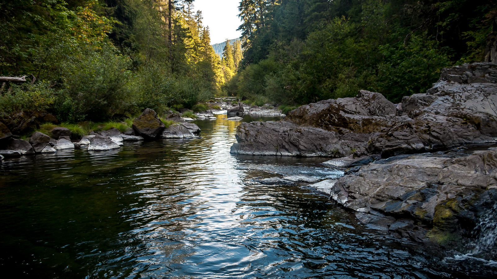
Canton Creek
- Boat Ramps
- 3
- Access Points
- 3
- Campsites
- 15
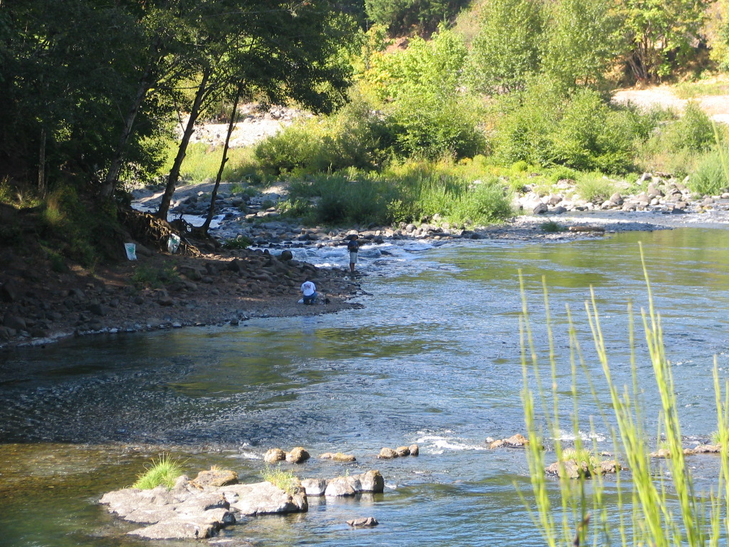
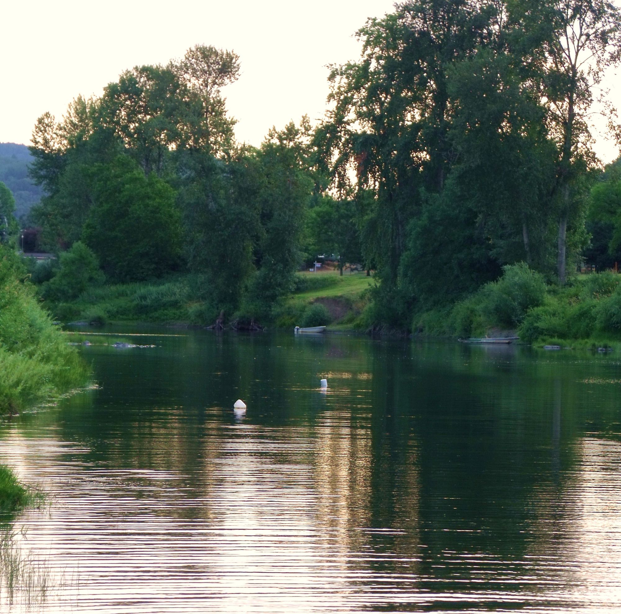
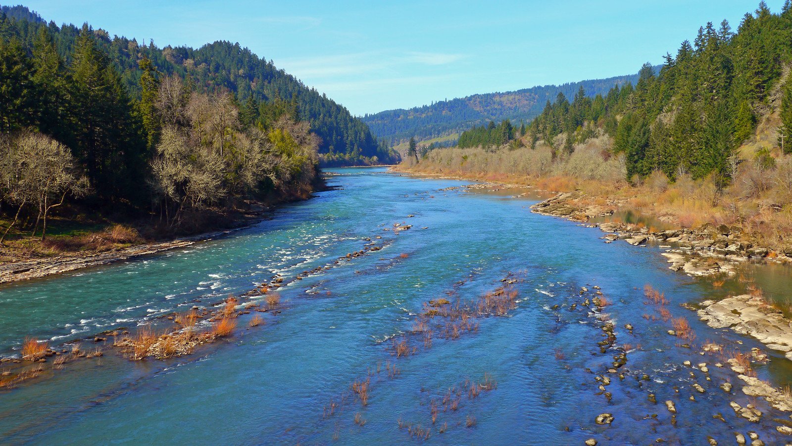
Canton Creek is a scenic waterway nestled in the heart of Oregon's Umpqua National Forest. Originating in the Cascade Mountains, it flows westward to join the North Umpqua River. This pristine creek carves its way through densely forested terrain, offering paddlers a quintessential Pacific Northwest whitewater experience.
The creek features several distinct paddling sections, each with its own character. The Upper Canyon Creek section, while less documented, is known for its intense whitewater and is suitable for expert paddlers only. The Lower Canyon Creek section, a moderate 5-mile run from Black Creek to the Highway 20 bridge, offers a mix of Class IV rapids and calmer stretches. This section is characterized by pool-drop features, ledge drops, and narrow slots, making it a favorite among intermediate to advanced paddlers.
Canton Creek's difficulty ranges from Class II to IV+, with the upper sections being more challenging. The lower sections provide a good balance of excitement and accessibility for skilled paddlers. Water levels are typically best in spring and early summer, fed by snowmelt from the Cascades, though autumn rains can also provide favorable conditions.
The creek flows through a lush ecosystem typical of the Pacific Northwest. Douglas fir, western red cedar, and big leaf maple line the banks, while osprey and bald eagles can often be spotted soaring overhead. The clear waters are home to native trout and occasionally salmon during spawning seasons.
A key landmark is the Canton Creek Campground, which serves as both a take-out point and a popular base for multi-day trips. The campground features a deep swimming hole surrounded by large rocks and ledges, offering a perfect spot for post-paddling relaxation.
Access to Canton Creek is primarily via Douglas County Roads 38 and 23. The nearest town of significance is Glide, Oregon, where paddlers can find supplies and information at the North Umpqua Ranger Station.
Historically, Canton Creek and the surrounding area have been important to local Native American tribes and later played a role in Oregon's logging industry. Today, it represents a vital part of the region's outdoor recreation economy.
Safety considerations include the remote nature of some sections and the cold water temperatures typical of mountain streams. Paddlers should be prepared for sudden changes in weather and water levels. While no special permits are required for paddling, adherents to Leave No Trace principles are expected to help preserve this natural treasure.
For those seeking a multi-day adventure, Canton Creek can be combined with runs on the North Umpqua River, allowing paddlers to experience a range of whitewater challenges while immersing themselves in the raw beauty of Oregon's backcountry.
Water access, boat ramps & amenities
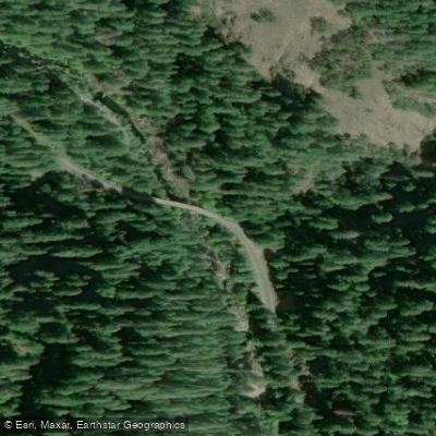
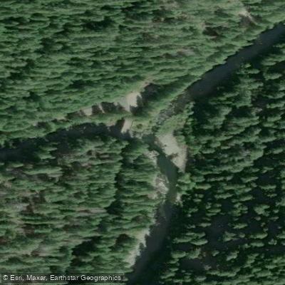
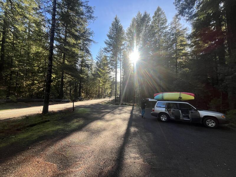
Learn how to get on Canton Creek. Uncover great paddling access points, boat ramps, and all the facilities you need for an unforgettable day on the water. Some locations shown may border or include private property. Always check property boundaries and applicable regulations before visiting. PaddleWays's Public & Private Land layer can help you plan your access with confidence.
Paddle smarter with real-time insights
Whether you're en route and conditions shift or you're looking for the best spot based on current flows, we enable you to make informed decisions on the fly.








Find Places to Paddle

Over 400,000 Places to Paddle
Every user gets free access to launch points, boat ramps, and public property parcels.


Water and weather conditions (10 day forecast)
See the best times to paddle Canton Creek and check the forecast before you go.
STEAMBOAT CREEK NEAR GLIDE, OR
Paddling near Canton Creek
Explore Oregon waters
Top paddling waters
Popular Cities
Loading popular cities...
Explore near Canton Creek
Access points
Nearby waters
More in Oregon

Smarter Paddling Starts in the App.
Paddleways gives you everything you need to plan smarter, paddle better, and own every trip from first launch to takeout.