Curated by PaddleWays
RouteClass III
- Distance
- 3.4 mi
- Paddle time
- ~1 hr
- Best for
- Intermediate paddlers, experienced paddlers
- Put-in → take-out
- Put In → Take Out
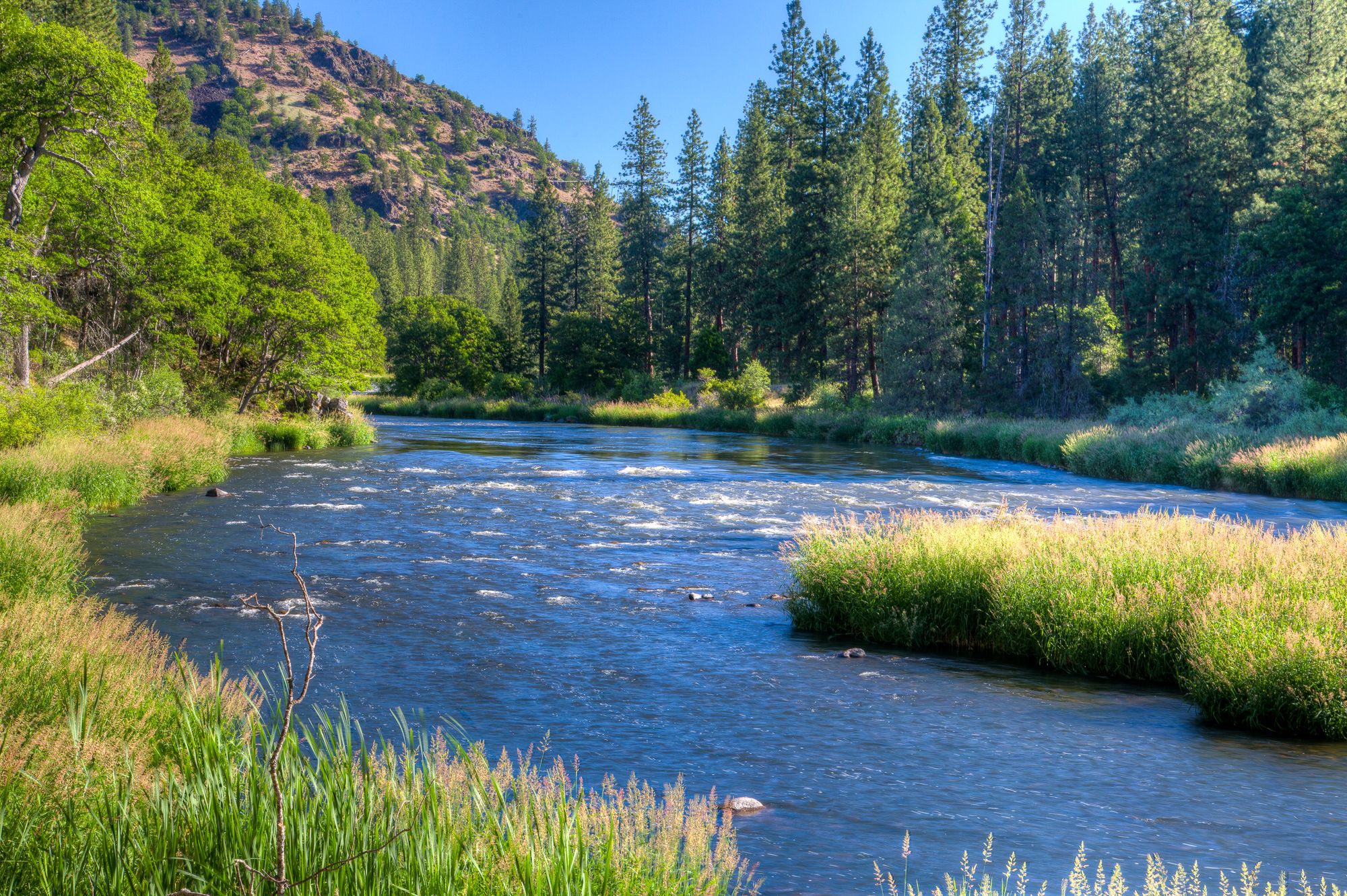
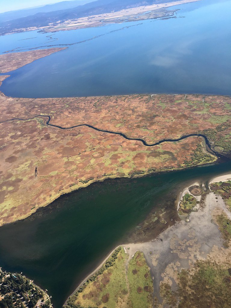
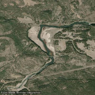
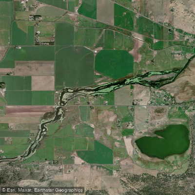
The Chewaucan River is a hidden gem in central Oregon's outback country, originating at the confluence of Elder and Dairy creeks in the Fremont-Winema National Forests. This 53-mile long river flows northward through a diverse landscape of high desert and forested canyons before eventually emptying into the Chewaucan Marshes near Paisley. The most popular paddling section is the Chewaucan River Canyon, also known as the Paisley Town Run. This thrilling 1.5-mile stretch offers class III-IV whitewater, characterized by swift currents and technical rapids through a narrow canyon just above the town of Paisley.
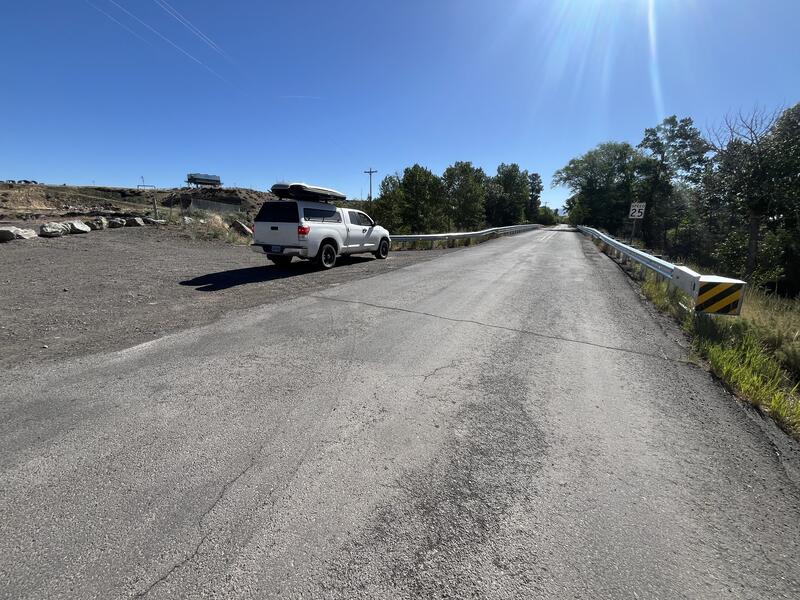
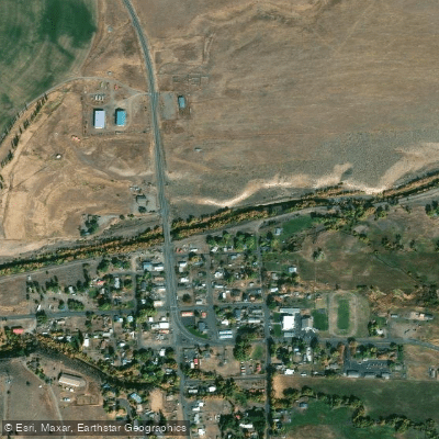
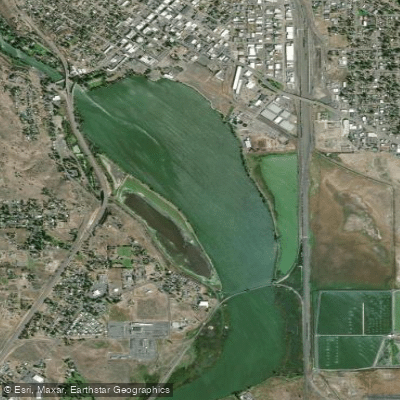
The put-in is located in Paisley itself, with the take-out approximately 1-1.5 miles downstream near a gauging station. Given its challenging nature, the Chewaucan is best suited for experienced paddlers comfortable with technical whitewater. The river's difficulty ranges from class III to IV, requiring solid boat control and the ability to read and navigate complex rapids. Spring snowmelt typically provides the best paddling conditions, usually from late April through early June. During this time, the river comes alive with the vibrant colors of early-blooming balsamroot lining its banks.
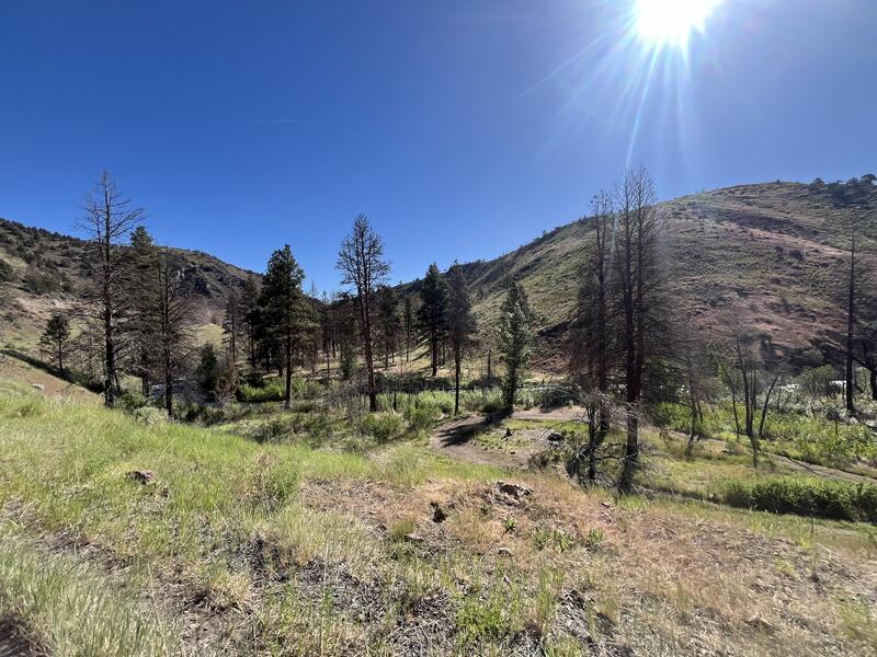
The Chewaucan's ecosystem supports a rich variety of wildlife, including native redband trout, which attract anglers to its waters. The river corridor is home to stately Ponderosa pines and offers excellent opportunities for wildlife viewing. Key landmarks include the town of Paisley, which serves as the primary access point for paddlers. The Fremont National Recreational Trail crosses the Chewaucan, providing additional opportunities for hikers to explore the river canyon.
For those interested in multi-day adventures, the Chewaucan can be combined with explorations of nearby natural attractions like Summer Lake or the Fremont-Winema National Forests. However, due to its short length, most paddling trips on the Chewaucan are day excursions. Paddlers should be aware of potential hazards such as strainers and swift currents, especially during high water periods. It's essential to check current flow levels and weather conditions before embarking on a trip. Additionally, respect for private property along the river corridor is crucial, as the Chewaucan flows through a mix of public and private lands.
The Chewaucan River holds cultural significance for indigenous peoples of the region and played a role in the early settlement of central Oregon. Today, it continues to be an important resource for local communities, supporting agriculture, recreation, and wildlife. For those seeking an off-the-beaten-path paddling experience in Oregon's high desert, the Chewaucan River offers a perfect blend of excitement, scenic beauty, and solitude.
Curated routes
Hand-picked by the PaddleWays team, with put-ins, take-outs, paddle times and the hazards along the way.
RouteClass III
Hazards
No paddler has reported a hazard here yet, so these are the dams, falls and big rapids on our map. Hazards change with flows and storms, so check them before you launch.
From the community
Nobody has shared a trip on Chewaucan River yet. Paddle it, then tell the next paddler how it went.
See exactly where the public can get on and off the river. Launch points and boat ramps are paired with PaddleWays' public land data so you know where you can legally land.
Public shoreline
32%of the river's shoreline is public
Most of the riverbank is private. Launch, land and camp only at public access points.
Flows, weather and a route-by-route verdict, so you know which stretch of the Chewaucan River is worth paddling today.
Live flows, marked hazards and fresh trip reports from paddlers who were just on the water, all in one place.





Every user gets free access to launch points, boat ramps, and public property parcels.
Loading popular cities...
PaddleWays gives you everything you need to plan smarter, paddle better, and own every trip from first launch to takeout.