Cleetwood Cove
- Saltwater
- Cove
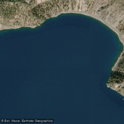
Cleetwood Cove
- Saltwater
- Cove
- Sq. miles
- 0.2
- Boat Ramps
- 0
- Access Points
- 0
- Campsites
- 1
Cleetwood Cove is the sole legal access point to the shoreline of Crater Lake in Crater Lake National Park, Oregon, USA. Private kayaks, canoes, paddleboards, and all other personal flotation devices are strictly prohibited on Crater Lake. The only boats permitted are the park's commercial tour vessels, which are transported to the lake by helicopter. The cove is a boulder-strewn section of shoreline on the north side of the lake, lacking a sandy beach. Access to the water is exclusively via the Cleetwood Cove Trail, a steep, strenuous 1.1-mile path that descends 700 feet from the rim to the shore. The trail surface is crushed pumice, which can be loose and slippery. The trail is closed for a major rehabilitation project for the 2026, 2027, and 2028 seasons, during which there will be no lake access or boat tours. When open, typically from mid-June to late October, the trail is extremely popular and crowded. The lake is renowned for its exceptional clarity and deep blue color, a result of its purity, with no rivers or streams feeding into it. Water temperature averages around 57°F (14°C). The lake is the deepest in the United States at 1,943 feet. From the cove, paddlers on the permitted tour boats can view notable formations like Wizard Island and Phantom Ship. There are no facilities for launching private craft; the only amenities are vault toilets at the trailhead and lakeshore. The overall experience is defined by the significant physical effort required for the hike and the stark, majestic beauty of the volcanic caldera, but it is not a destination for personal paddling.
Water access, boat ramps & amenities
Learn how to get on Cleetwood Cove. Uncover great paddling access points, boat ramps, and all the facilities you need for an unforgettable day on the water. Some locations shown may border or include private property. Always check property boundaries and applicable regulations before visiting. PaddleWays's Public & Private Land layer can help you plan your access with confidence.
Paddle smarter with real-time insights
Whether you're en route and conditions shift or you're looking for the best spot based on current flows, we enable you to make informed decisions on the fly.








Find Places to Paddle

Over 400,000 Places to Paddle
Every user gets free access to launch points, boat ramps, and public property parcels.


Tides, wind & water conditions (10 day forecast)
On open water, wind and tide matter as much as the weather. See the best times to paddle Cleetwood Cove and check the marine forecast before you launch.
Loading tide predictions…
Paddling near Cleetwood Cove
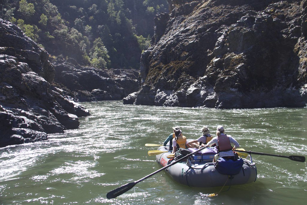
Rogue River
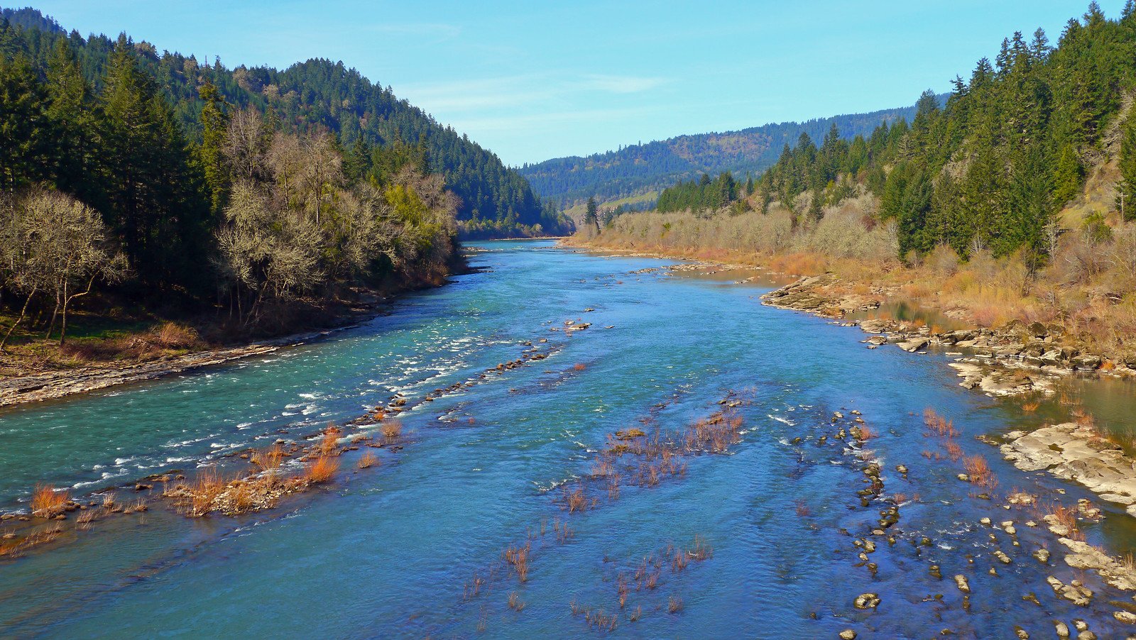
North Umpqua River
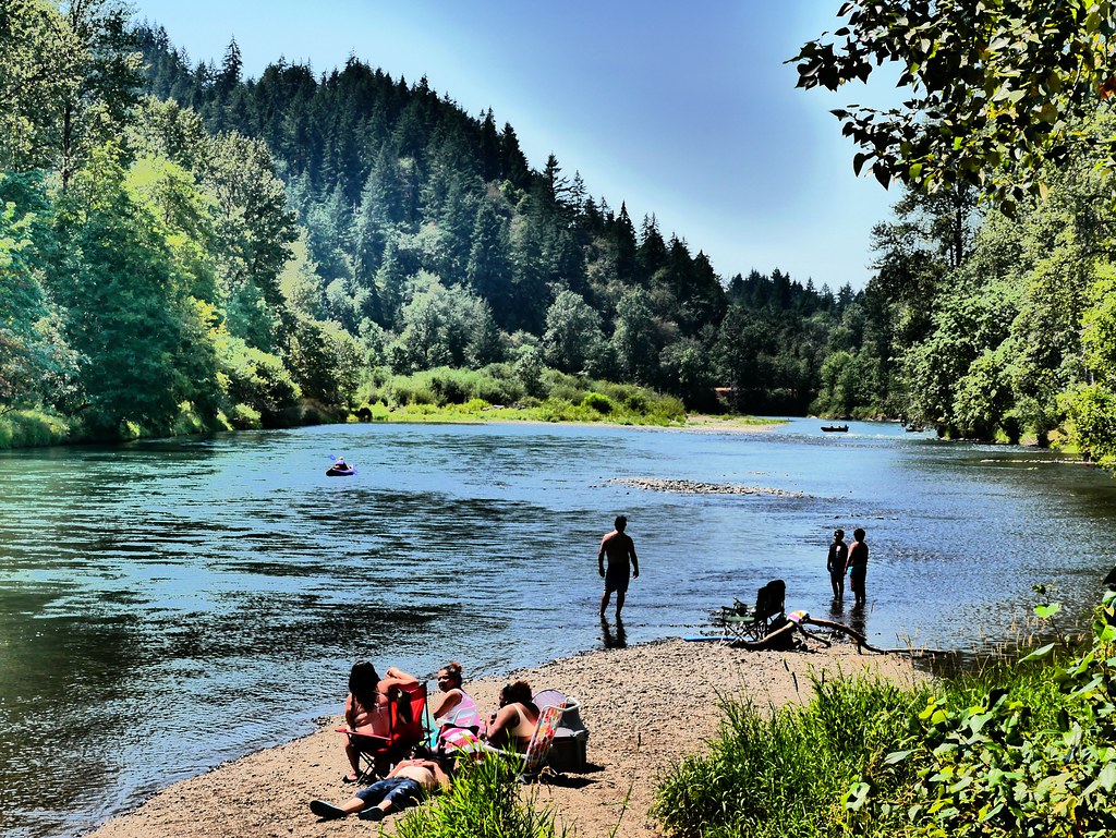
Middle Fork Willamette River
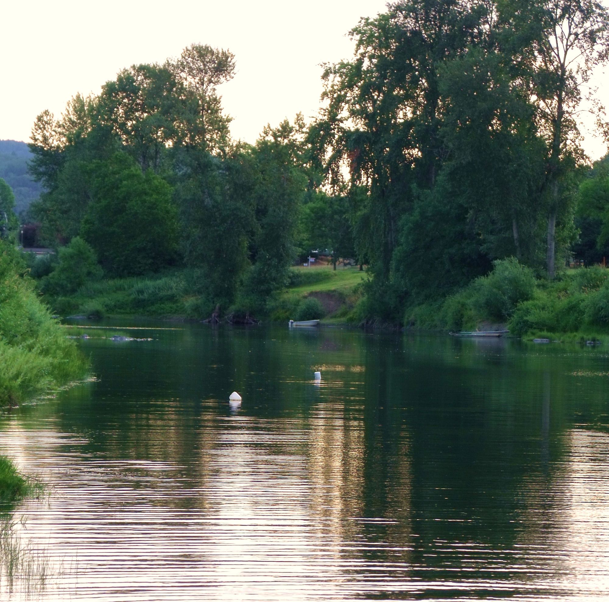
South Umpqua River
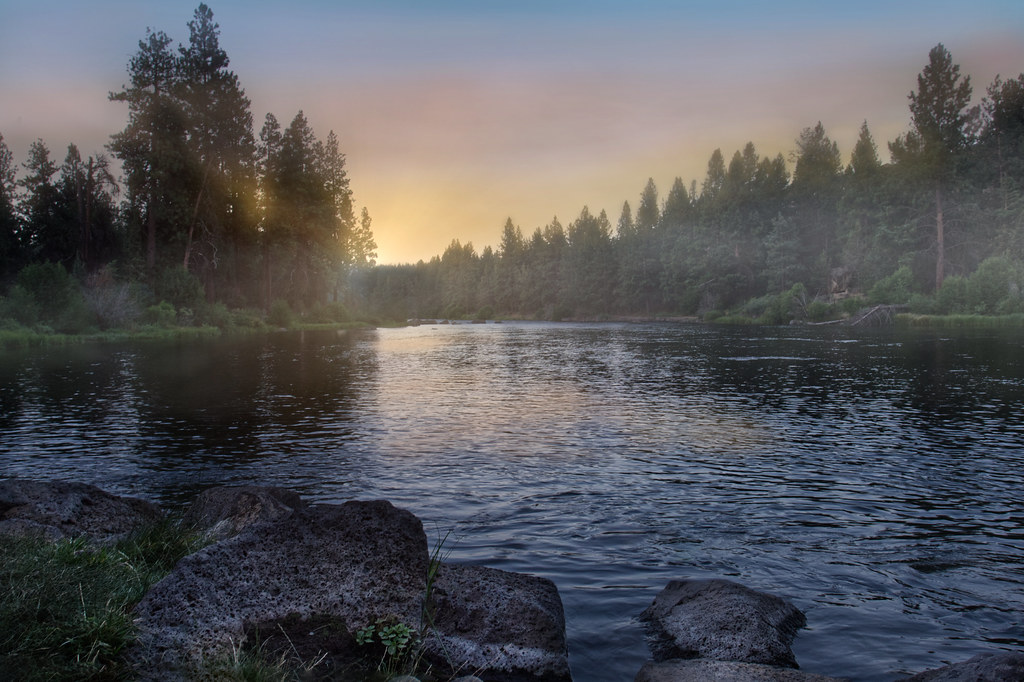
Deschutes River
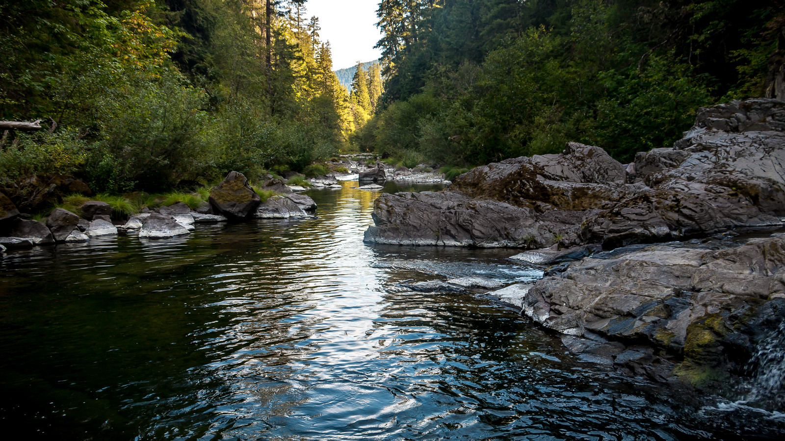
Canton Creek
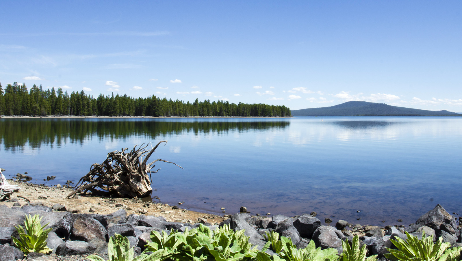
Wickiup Reservoir
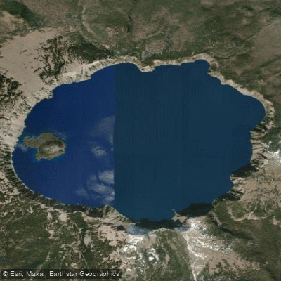
Crater Lake
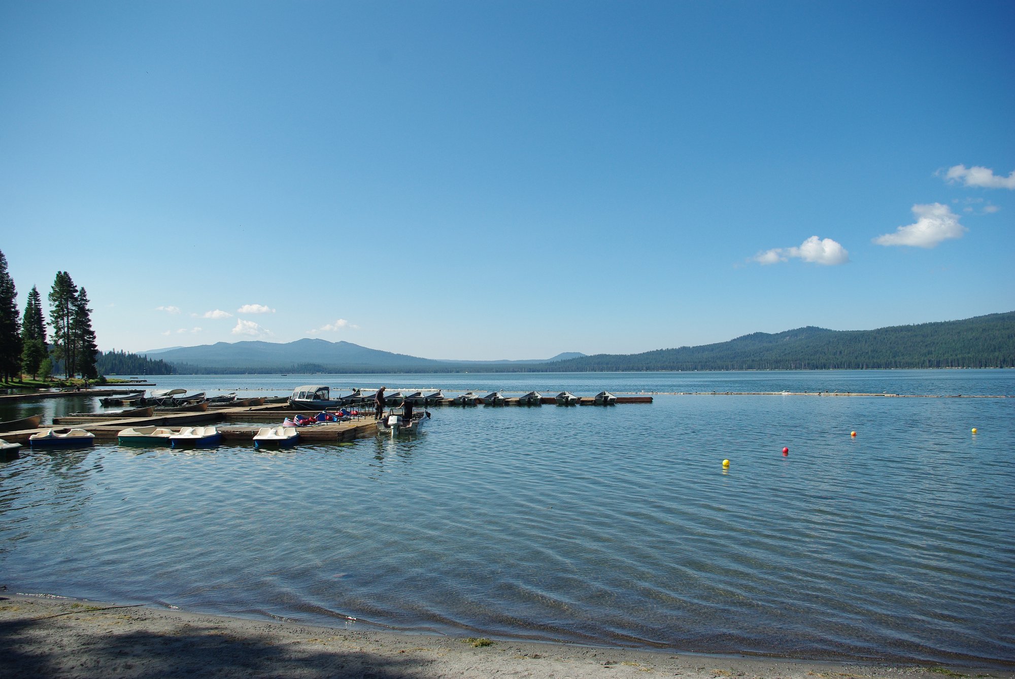
Diamond Lake
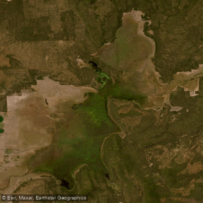
Klamath Marsh
Explore Oregon waters
Top paddling waters
Popular Cities
Loading popular cities...
Explore near Cleetwood Cove

Smarter Paddling Starts in the App.
Paddleways gives you everything you need to plan smarter, paddle better, and own every trip from first launch to takeout.