Curated by PaddleWays
RouteClass V
- Distance
- 2.2 mi
- Paddle time
- ~0.5 hrs
- Best for
- Experienced paddlers
- Put-in → take-out
- Put In → Take Out
Continuous blind brushy class IV-V
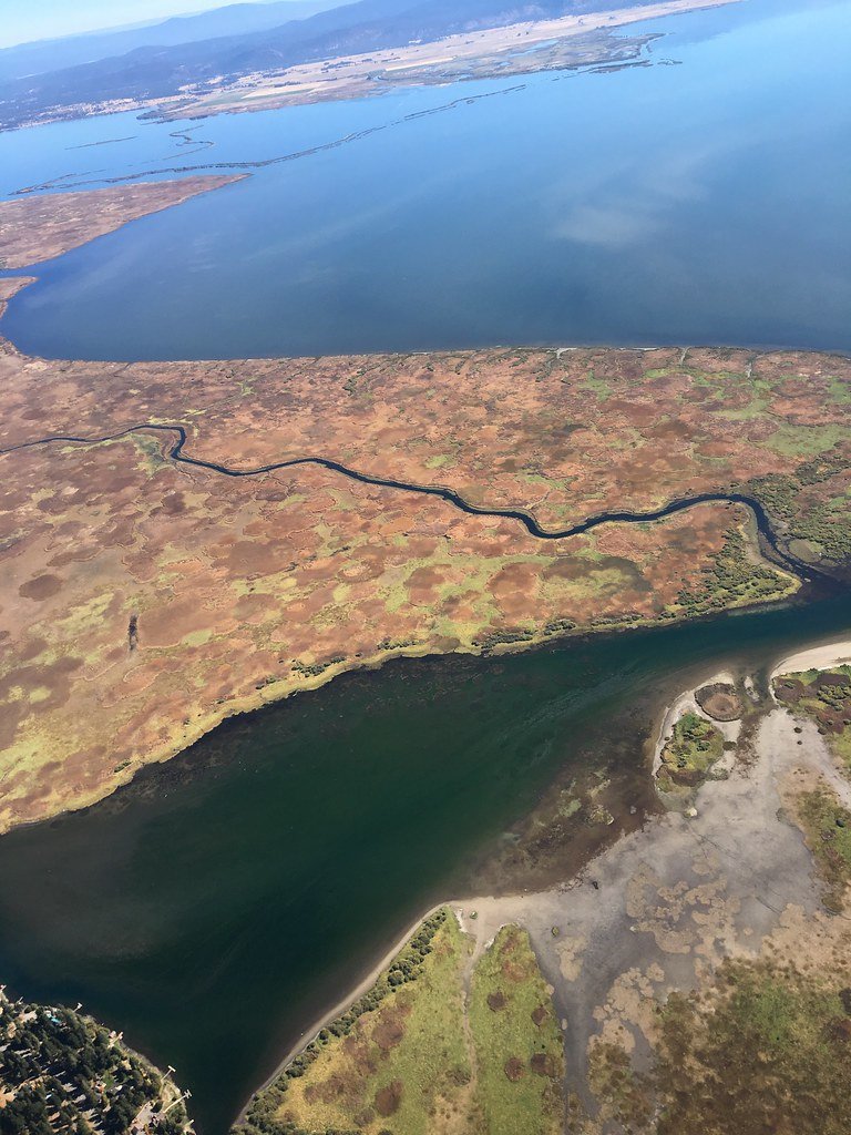
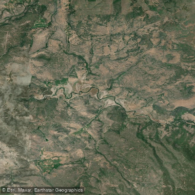
Deep Creek originates in the Warner Mountains of south-central Lake County, Oregon, flowing generally northward through high desert terrain before joining Twentymile Creek in the Warner Valley. This tributary of the Warner Lakes system drains approximately 62 square miles of volcanic uplands and sedimentary basins characteristic of the northern Great Basin.
The creek supports a self-sustaining population of Warner suckers, a federally listed endangered species found only in the Warner Basin. This endemic fish, along with Warner tui chub, speckled dace, and Warner Basin redband trout, makes Deep Creek critical habitat within one of Oregon's most isolated aquatic ecosystems. The presence of these species reflects the creek's role as one of the better-quality streams in a basin where water is scarce and connectivity between habitats is essential for species survival.
Deep Creek flows through a landscape dominated by Wyoming big sagebrush and low sagebrush communities, with scattered western juniper on adjacent slopes. Riparian vegetation remains limited along much of the creek, consisting primarily of sedges, grasses, and occasional willows.
The watershed experiences a snowmelt-dominated flow regime typical of eastern Oregon streams, with peak flows occurring from March through early summer and dramatically reduced flows by late summer. The creek has been identified as water quality limited under the Clean Water Act, primarily due to elevated stream temperatures.
Ongoing watershed restoration efforts focus on improving riparian conditions and maintaining adequate flows to support the Warner sucker's recovery. Livestock grazing has been excluded from portions of the creek to allow vegetation recovery and protect critical fish habitat.
Access to Deep Creek is limited, with much of the drainage crossing private ranch land interspersed with public Bureau of Land Management parcels. The nearest communities are Adel to the south and Plush to the north, both small ranching settlements serving the Warner Valley. The creek's remote location and the checkerboard land ownership pattern mean that public access requires careful navigation of property boundaries.
Historically, the Warner Basin, including Deep Creek, was used seasonally by Northern Paiute peoples who followed traditional rounds between valley floors and upland areas. The drainage later became part of the ranching economy that developed in Lake County during the late 1800s, with water diversions for irrigation affecting stream flows and fish passage.
Paddling opportunities on Deep Creek are extremely limited due to low flows, shallow conditions, and the presence of numerous diversions and barriers. The creek is not recognized as a recreational waterway and sees virtually no boating use. Its primary values lie in its ecological significance as habitat for rare native fish species within one of Oregon's most distinctive desert watersheds.
Curated routes
Hand-picked by the PaddleWays team, with put-ins, take-outs, paddle times and the hazards along the way.
RouteClass V
Hazards
No paddler has reported a hazard here yet, so these are the dams, falls and big rapids on our map. Hazards change with flows and storms, so check them before you launch.
Rapid · Class V
Class V- A 15-20 foot broken falls with a shallow pool. If you don't want to run the drop, put in below it rather than portaging.
Rapid · Class IV
Class IV A fun, bouldery rapid that weaves from center to left, then back to the right at the bottom and adjacent to an unstable wall on river-right.
Rapid · Class IV
Class IV-IV+ A long, winding boulder garden abruptly ends with a drop of about 5-10' over a sloping ledge that can develop a large hole at higher flows.
Rapid · Class IV
Class IV The bottom of To the Beat is steeper with some unfriendly rocks in the center. Make an active move from right to left for a rock free ride.
From the community
Nobody has shared a trip on Deep Creek yet. Paddle it, then tell the next paddler how it went.
See exactly where the public can get on and off the river. Launch points and boat ramps are paired with PaddleWays' public land data so you know where you can legally land.
Public shoreline
56%of the river's shoreline is public
Flows, weather and a route-by-route verdict, so you know which stretch of the Deep Creek is worth paddling today.
Live flows, marked hazards and fresh trip reports from paddlers who were just on the water, all in one place.





Every user gets free access to launch points, boat ramps, and public property parcels.
Loading popular cities...
PaddleWays gives you everything you need to plan smarter, paddle better, and own every trip from first launch to takeout.