Curated by PaddleWays
RouteClass I–II
- Distance
- 5.3 mi
- Paddle time
- ~2 hrs
- Best for
- Beginners, intermediate paddlers
- Put-in → take-out
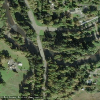
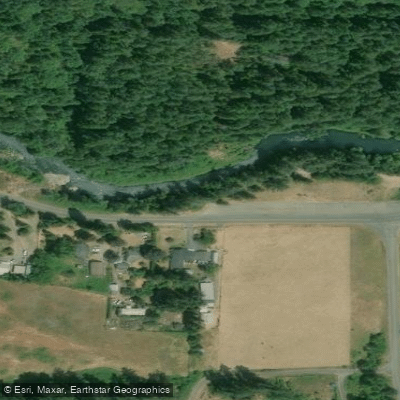
- Fall Creek Dam Tailwaters Access → Penga Road Access
Fall Creek originates in the Cascade Range near Sardine Butte within the Willamette National Forest at approximately 3,782 feet elevation. The creek flows generally westward for 34 miles through forested canyons before entering Fall Creek Reservoir, a 1,820-acre impoundment created by Fall Creek Dam in 1966. Below the dam, the creek continues another 7 miles to its confluence with the Middle Fork Willamette River near Jasper, southeast of Springfield and Eugene.
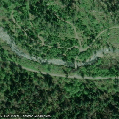
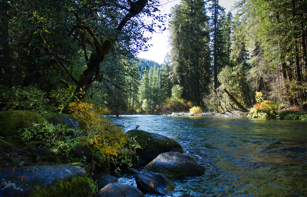
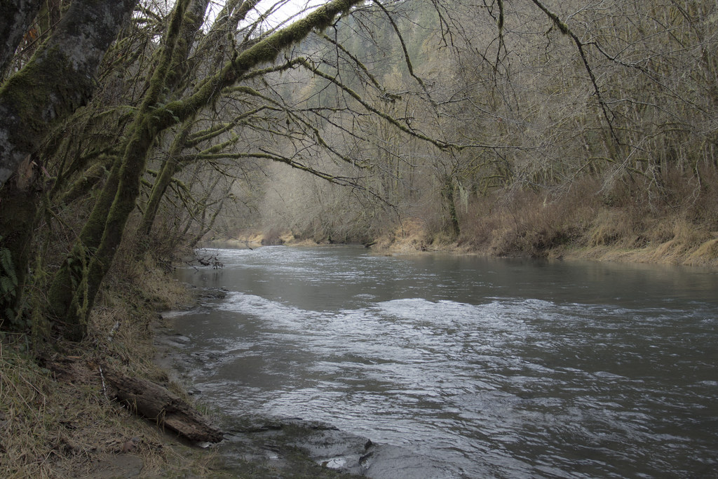
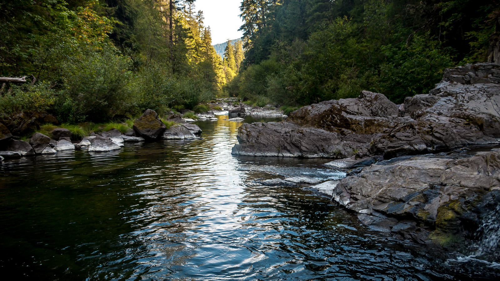
The upper 13-mile stretch above Fall Creek Reservoir offers exceptional paddling through a scenic corridor accessed by Forest Road 18. This section features numerous natural swimming holes, bedrock pools, and cascades that create Class I-II conditions suitable for intermediate paddlers. The Fall Creek National Recreation Trail parallels much of this reach, providing multiple access points at Forest Service campgrounds including Dolly Varden, Big Pool, Broken Bowl, Bedrock, and Puma Creek. The creek flows through old-growth Douglas fir forests with abundant ferns and moss-covered rock outcrops, creating an intimate paddling experience in a relatively undeveloped setting.
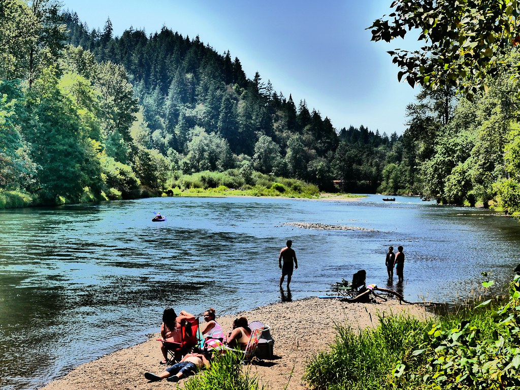
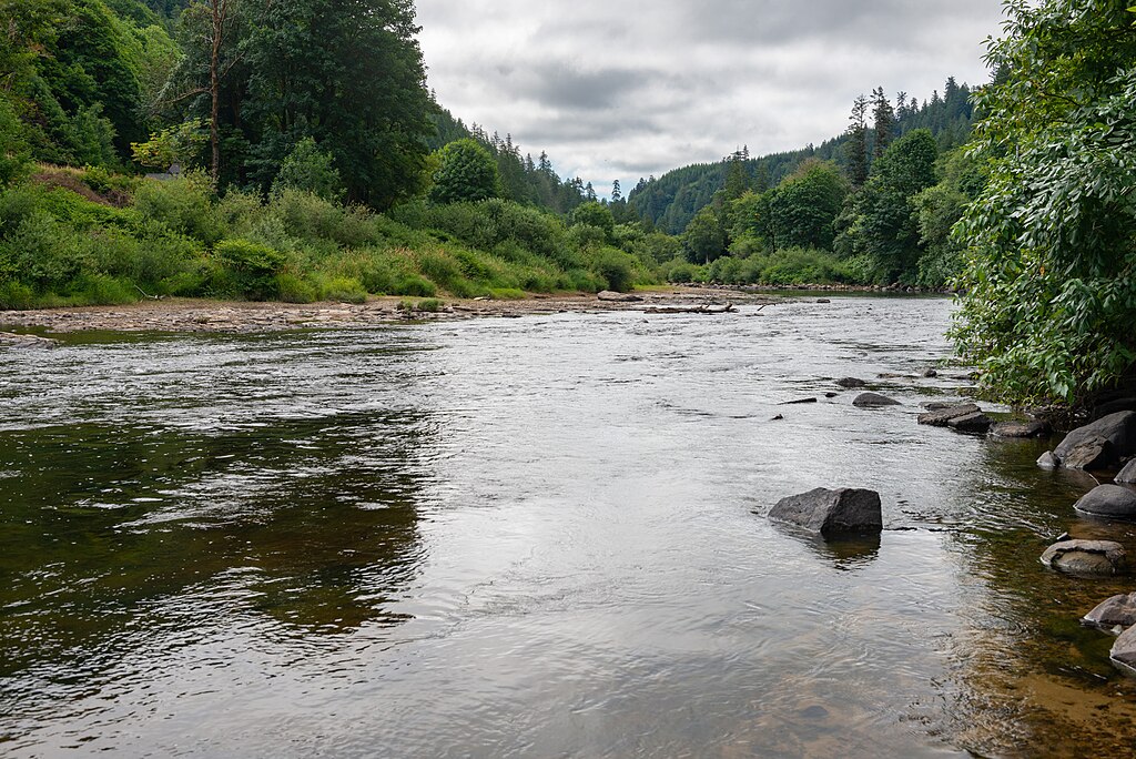
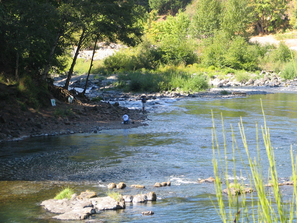
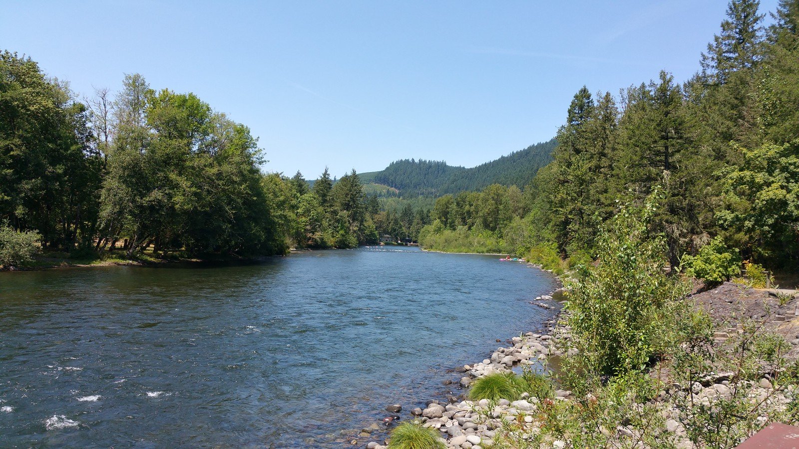
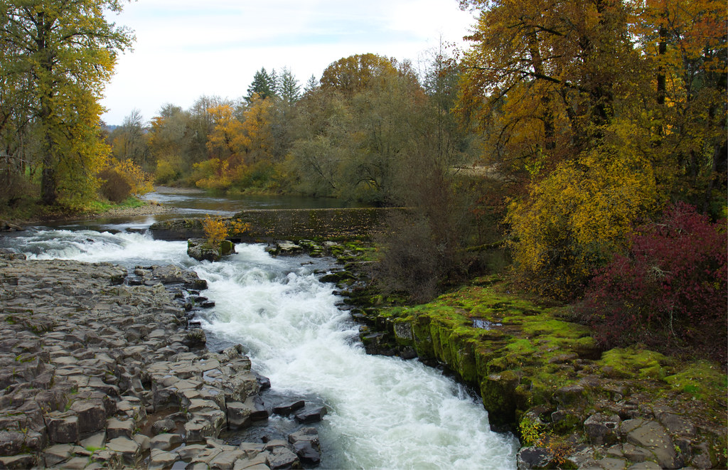
Below Fall Creek Reservoir, the creek transforms into a more placid waterway as it approaches its confluence with the Middle Fork Willamette. This lower section flows through mixed bottomland forests and historic floodplain, offering calm water suitable for novice paddlers and families. Access points include several state recreation sites managed by Oregon Parks and Recreation Department. The reservoir itself provides 1,852 acres of surface area at full pool, though water levels begin dropping in mid-summer as part of flood control operations. When full, the reservoir offers excellent flatwater paddling with numerous coves and arms to explore, particularly along the Winberry Creek and Fall Creek arms.
The creek supports populations of native cutthroat and rainbow trout, along with stocked rainbow trout in the upper reaches. The riparian corridor provides habitat for western pond turtles, red-legged frogs, and various bird species including great blue herons and belted kingfishers. Bald eagles nest in the vicinity, and black bears occasionally frequent the area.
The optimal paddling season runs from late spring through early fall, with May through June offering the most reliable flows above the reservoir. Winter and early spring flows can be dangerously high. The reservoir drawdown typically begins in mid-summer, limiting access by late August.
Access to the upper creek is via Highway 58 to Lowell, then following Big Fall Creek Road to Forest Road 18. The nearest services are available in Lowell, approximately 23 miles from Jasper and roughly midway to the uppermost access points.
Curated routes
Hand-picked by the PaddleWays team, with put-ins, take-outs, paddle times and the hazards along the way.
RouteClass I–II
RouteClass III–IV
Hazards
No paddler has reported a hazard here yet, so these are the dams, falls and big rapids on our map. Hazards change with flows and storms, so check them before you launch.
From the community
Nobody has shared a trip on Fall Creek yet. Paddle it, then tell the next paddler how it went.
See exactly where the public can get on and off the river. Launch points and boat ramps are paired with PaddleWays' public land data so you know where you can legally land.
Public shoreline
58%of the river's shoreline is public
Flows, weather and a route-by-route verdict, so you know which stretch of the Fall Creek is worth paddling today.
All Flow Stations
Live flows, marked hazards and fresh trip reports from paddlers who were just on the water, all in one place.





Every user gets free access to launch points, boat ramps, and public property parcels.
Loading popular cities...
PaddleWays gives you everything you need to plan smarter, paddle better, and own every trip from first launch to takeout.