Curated by PaddleWays
RouteFlatwater
- Distance
- 39.4 mi
- Paddle time
- Multi-day
- Best for
- Kayak, canoe
- Put-in → take-out
- Cottonwood Canyon / JS Burres State Park Boat Ramp → LaPage Park Boat Ramp
Tumwater Falls at river mile 10
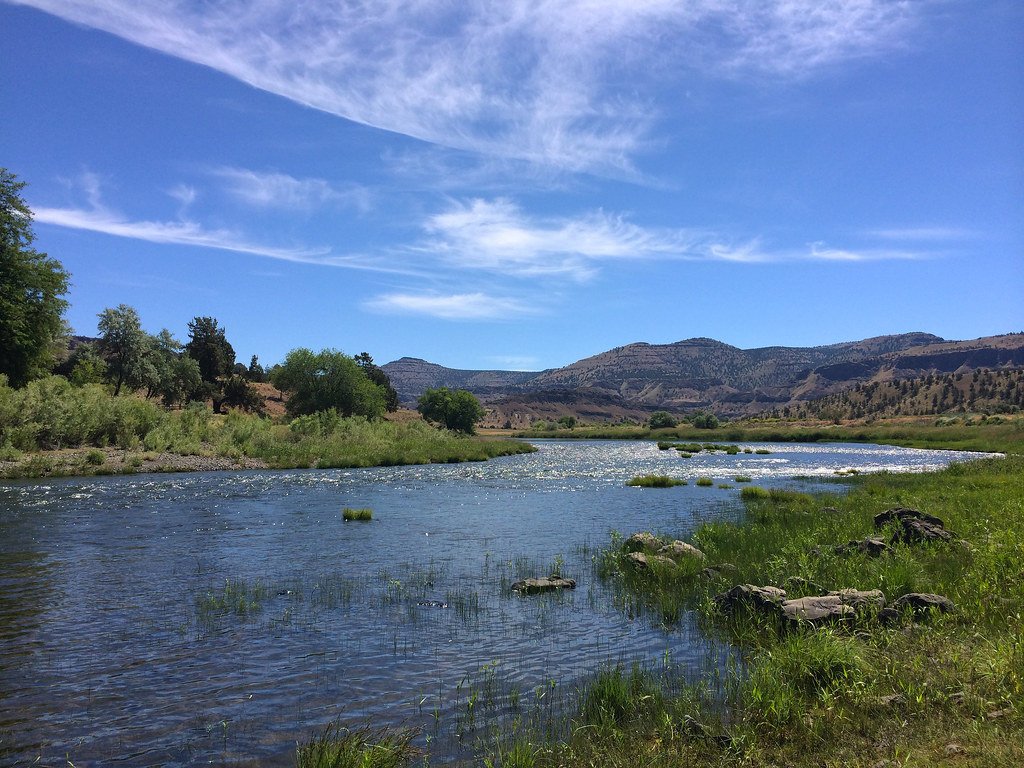
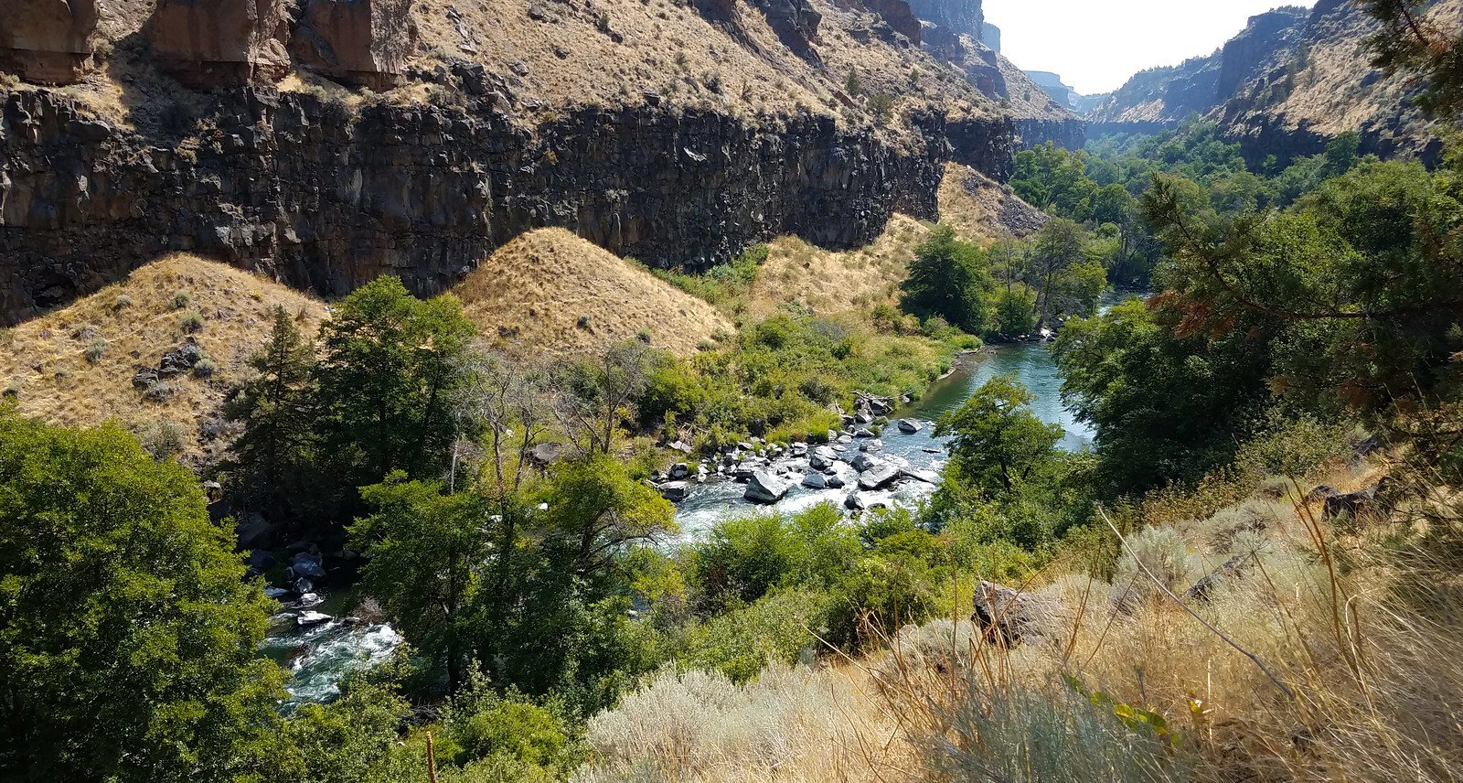
The John Day River flows 284 miles through north-central Oregon, making it one of the longest undammed rivers in the contiguous United States. Within the counties of Gilliam, Grant, Jefferson, Sherman, Wasco, and Wheeler, the river carves through dramatic basalt canyons, creating a remote corridor that showcases millions of years of geological history. The river enters this region from the east, winding westward through Wheeler and Grant counties before turning northward to meet the Columbia River near the border of Sherman and Gilliam counties.
Paddling opportunities concentrate on the 147-mile stretch from Service Creek (Wheeler County) downstream to Tumwater Falls (Sherman/Gilliam counties), designated as a National Wild and Scenic River in 1988. This section offers primarily Class I-II whitewater with notable exceptions including Russo Rapid, Burnt Ranch Rapid (Class II+), and the formidable Clarno Rapids (Class III-IV). The river's free-flowing nature means water levels fluctuate dramatically—optimal boating conditions typically occur from late March through June, with flows ranging from 1,000 to 6,000 cfs. By midsummer, the river often becomes too shallow for rafts, though canoes and kayaks may still navigate certain sections.
The canyon ecosystem supports California bighorn sheep, mule deer, elk, and one of the Columbia Basin's healthiest wild steelhead populations. Summer steelhead and spring Chinook salmon spawn in tributaries, while the main stem hosts excellent smallmouth bass fishing from June through August. Bald eagles winter along the corridor, and rattlesnakes are common in rocky areas.
Key landmarks include Picture Gorge near Dayville (Grant County), the Clarno Unit of John Day Fossil Beds National Monument, and the towering basalt formations between Thirtymile Creek and Cottonwood Canyon. Cottonwood Canyon State Park (Sherman/Gilliam counties) provides dramatic views of the lower canyon.
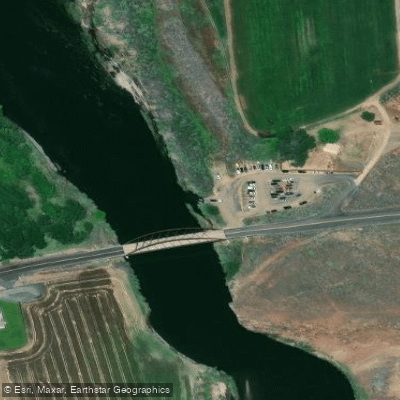
Primary river access points include Service Creek, Twickenham, Priest Hole, Burnt Ranch (all Wheeler County), Clarno (Wheeler/Wasco counties), and Cottonwood Bridge (Sherman County). The nearest substantial towns are Fossil (Wheeler County), Condon (Gilliam County), and Madras (Jefferson County). McDonald Ferry (Sherman County) serves as the final takeout before Tumwater Falls—an impassable Class VI waterfall.
Native American pictographs appear on canyon walls throughout the corridor, evidence of thousands of years of human presence. The Oregon Trail crossed the river at McDonald Ford in the 1840s-1860s.
Boaters must obtain self-issue permits year-round and carry portable toilets—human waste must be packed out. Firepans are required, and campfires are prohibited June 1 through October 1. Group size is limited to 16 people. The river corridor alternates between BLM-managed public lands (47% of riverfront) and private property, requiring careful attention to land ownership maps when camping.
Curated routes
Hand-picked by the PaddleWays team, with put-ins, take-outs, paddle times and the hazards along the way.
RouteFlatwater
RouteClass II–III
RouteClass I–II
Hazards
No paddler has reported a hazard here yet, so these are the dams, falls and big rapids on our map. Hazards change with flows and storms, so check them before you launch.
Rapid · Class III
We have no details on this rapid.
Rapid · Class V
We have no details on this rapid.
From the community
Nobody has shared a trip on John Day River yet. Paddle it, then tell the next paddler how it went.
See exactly where the public can get on and off the river. Launch points and boat ramps are paired with PaddleWays' public land data so you know where you can legally land.
Public shoreline
40%of the river's shoreline is public
Most of the riverbank is private. Launch, land and camp only at public access points.
Flows, weather and a route-by-route verdict, so you know which stretch of the John Day River is worth paddling today.
All Flow Stations
Live flows, marked hazards and fresh trip reports from paddlers who were just on the water, all in one place.





Every user gets free access to launch points, boat ramps, and public property parcels.
What you need to float or boat John Day River, and when to apply.
Service Creek to Tumwater Falls
Reservation permit · All boaters · Required year-round
Every boating day trip from Service Creek to Tumwater Falls needs a permit, limited only in the high season.
Checked Nov 4, 2026 with BLM Prineville District
Service Creek to Tumwater Falls
Reservation permit · Overnight trips · Required year-round
Every overnight boating trip from Service Creek to Tumwater Falls needs a permit, limited only in the high season.
Checked Nov 4, 2026 with BLM Prineville District
An online permit through Recreation.gov is required year-round to boat within the Wild and Scenic section of the John Day River (Service Creek to Tumwater Falls) for both day and overnight trips. For further information regarding Overnight Permits. please visit the link below.
When using any type of watercraft to access a body of water, it is important to follow all federal, state, and local rules and regulations. These rules and regulations include boat permitting and licensing, invasive species inspections and stamps, life jacket and PFD rules, motor size and horsepower restrictions, noise limitations, restrictions on personal watercraft, and many more. Visit the web link below for the most current rules and regulations for this body of water.
Loading popular cities...
PaddleWays gives you everything you need to plan smarter, paddle better, and own every trip from first launch to takeout.