Curated by PaddleWays
RouteClass IV
- Distance
- 6.1 mi
- Paddle time
- ~1.5 hrs
- Best for
- Kayak, raft
- Put-in → take-out
- Take Out → Lobster Boat Ramp
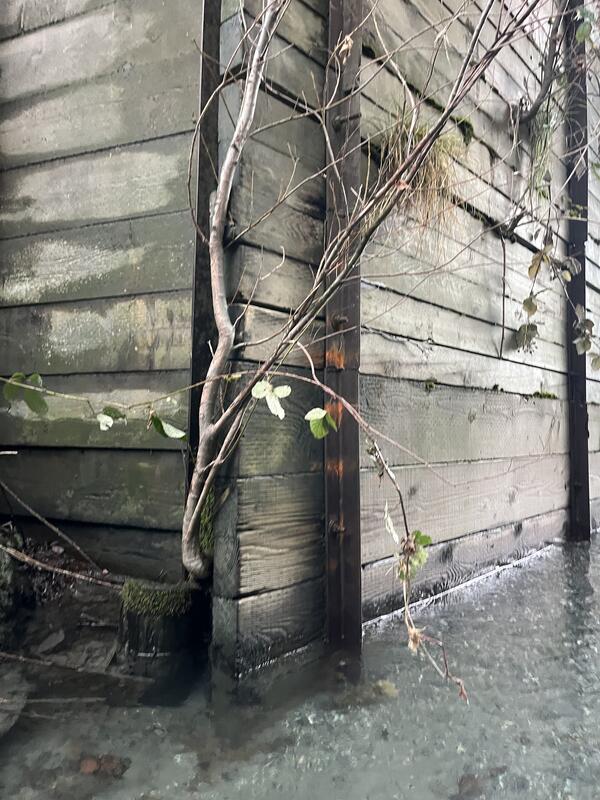
Mobile wood at high flows
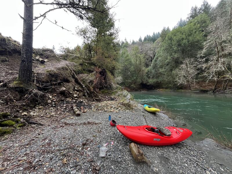
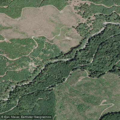
Lobster Creek flows through the rugged coastal mountains of Curry County, Oregon, entering the Rogue River approximately eleven miles upstream from Gold Beach. This tributary marks a significant geographic boundary in the region—the point where Lobster Creek enters the Rogue defines the downstream terminus of the federally designated Wild and Scenic River corridor that has protected the Rogue since 1968. The creek originates in the forested slopes of the Coast Range, carving through the rolling foothills and riparian meadows characteristic of this portion of southwestern Oregon.
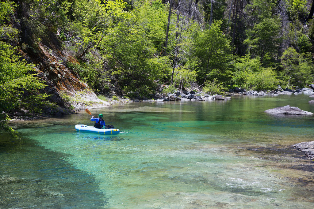
Its pristine waters provide essential coldwater habitat for native salmonids, making it one of the region's most productive spawning tributaries. Fall chinook salmon, coho salmon, and winter steelhead all utilize Lobster Creek, with the creek's exceptional water quality significantly benefiting downstream conditions in the Rogue River itself.
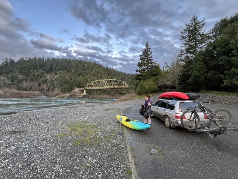
Near its confluence with the Rogue, Lobster Creek hosts a U.S. Forest Service campground that serves as a popular access point for river users. The campground features basic amenities including restrooms with flush toilets, picnic tables, and a boat ramp, providing convenient river access for both paddlers and anglers. This location sits at approximately 150 feet elevation, where the Rogue has widened considerably from its wild upstream sections.
The surrounding landscape features upland and riparian forests managed as late successional reserves, maintaining mature and old-growth forest stand conditions. Lobster Creek Road parallels the waterway, offering ready access to this relatively quiet corner of the Rogue River watershed. Visitors seeking solitude will find the area generally lightly traveled compared to more popular sections upstream.
Historically, Lobster Creek gained its name from gold mining activities in the area. Ten miles east of Gold Beach, the creek's "Old Diggins" still produces nuggets and fine gold, though most productive areas are now claimed and require permission for prospecting. The creek was part of the extensive placer mining operations that characterized the region during the late 1800s and early 1900s.
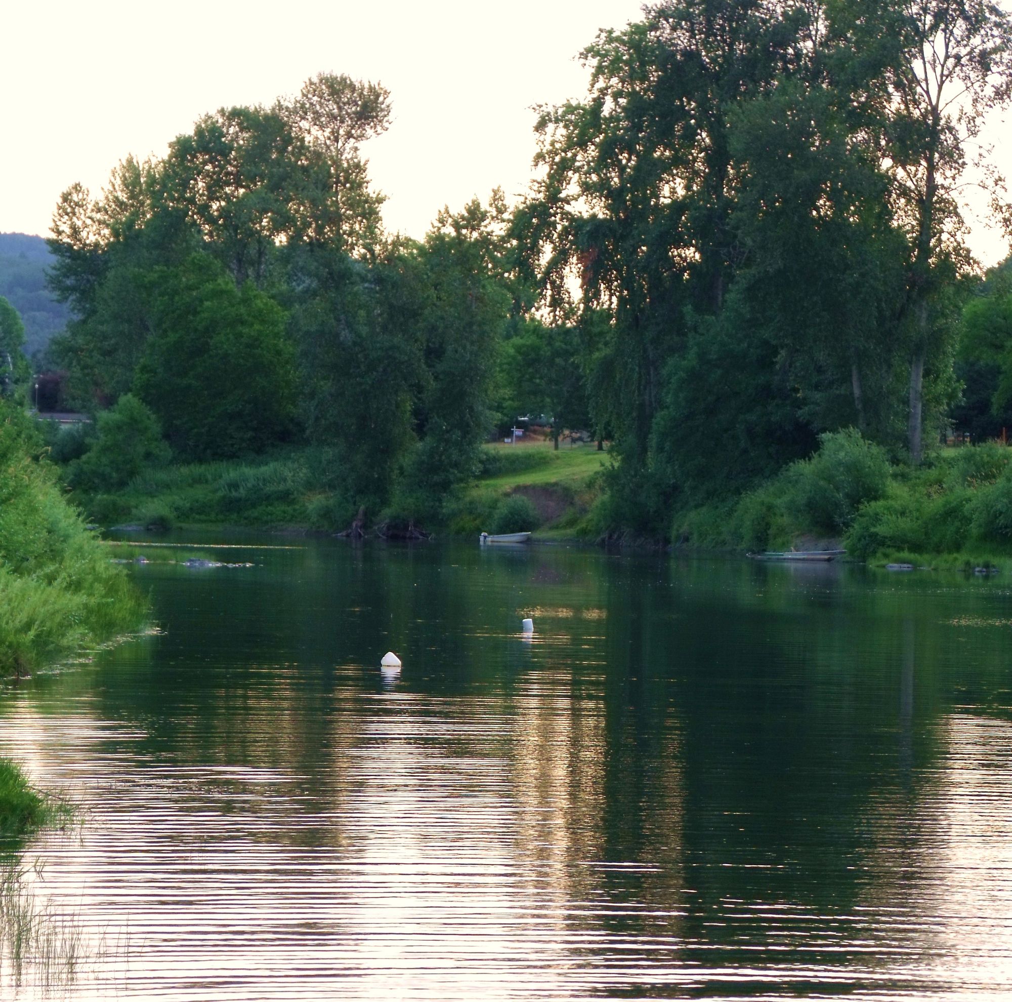
Below Lobster Creek Campground, numerous roadside gravel bars along the Rogue provide easy put-in and take-out opportunities for paddlers. The river section here offers flatwater paddling suitable for beginners, with the tidal influence from the Pacific Ocean extending upstream during higher tides. This lower reach attracts paddlers seeking calm water exploration, wildlife viewing opportunities including river otters, ospreys, and black bears, and access to one of Oregon's most storied river systems without the permit requirements or whitewater challenges found upstream.
Curated routes
Hand-picked by the PaddleWays team, with put-ins, take-outs, paddle times and the hazards along the way.
RouteClass IV
RouteClass IV
Hazards
No hazards are marked on Lobster Creek yet. That is not the same as none being there: if you find one, report it for the next paddler.
From the community
Nobody has shared a trip on Lobster Creek yet. Paddle it, then tell the next paddler how it went.
See exactly where the public can get on and off the river. Launch points and boat ramps are paired with PaddleWays' public land data so you know where you can legally land.
Public shoreline
14%of the river's shoreline is public
Most of the riverbank is private. Launch, land and camp only at public access points.
Flows, weather and a route-by-route verdict, so you know which stretch of the Lobster Creek is worth paddling today.
No forecast data available.
Live flows, marked hazards and fresh trip reports from paddlers who were just on the water, all in one place.





Every user gets free access to launch points, boat ramps, and public property parcels.
Loading popular cities...
PaddleWays gives you everything you need to plan smarter, paddle better, and own every trip from first launch to takeout.