Wilson River
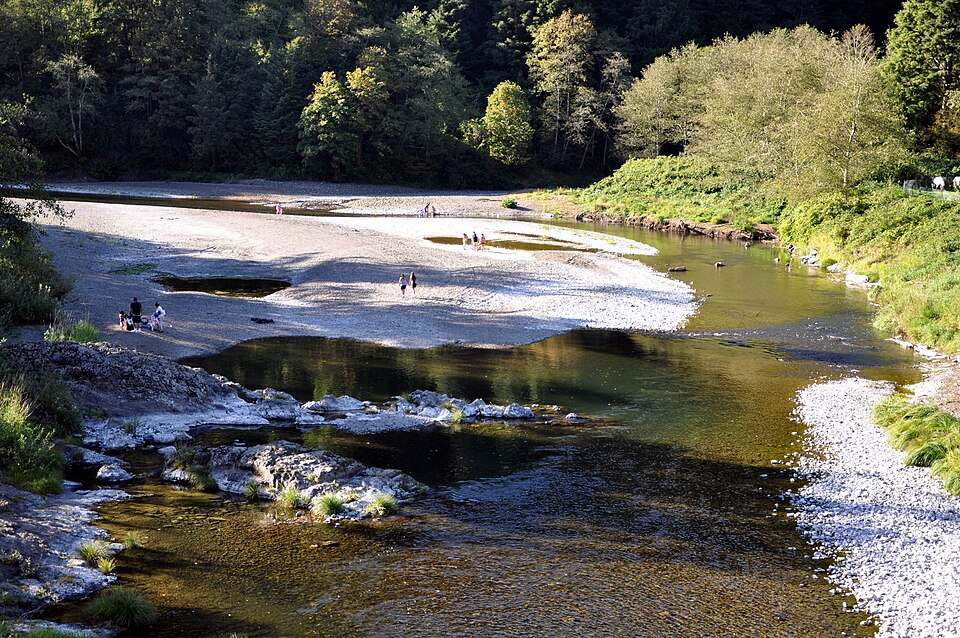
Wilson River
- Boat Ramps
- 4
- Access Points
- 12
- Campsites
- 6
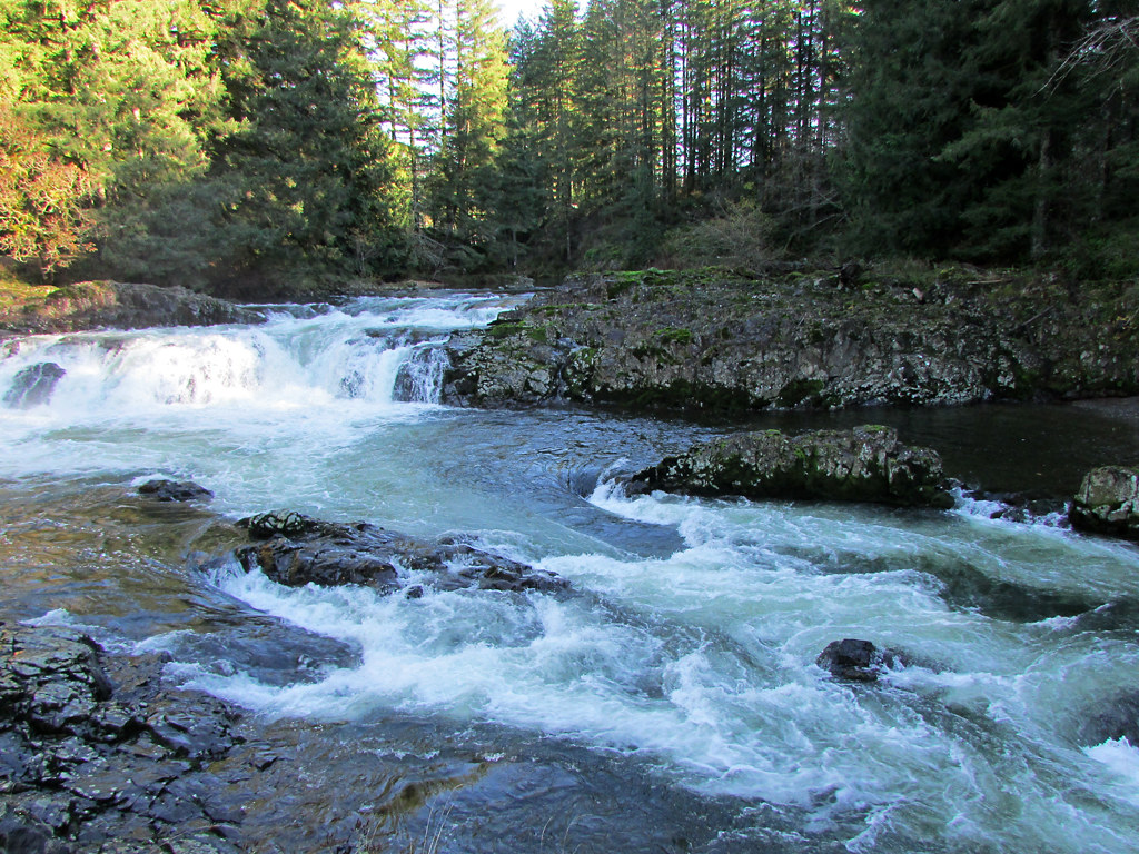
The Wilson River is a scenic 33-mile waterway originating in the Northern Oregon Coast Range and flowing westward through Tillamook State Forest to empty into Tillamook Bay. Its major tributaries include the North Fork Wilson River, South Fork Wilson River, and Devil's Lake Fork. The Wilson offers excellent whitewater paddling opportunities, with sections ranging from Class II to IV in difficulty. Popular runs include the 8-mile Jones Creek to Milepost 15 stretch (Class III), the challenging 6-mile Narrows section (Class III-IV), and the 7-mile Milepost 15 to Milepost 8 run (Class II-III). The river's clear waters reveal a sculpted basalt riverbed, adding to its scenic appeal.
Paddlers should have solid whitewater skills, as many sections feature continuous rapids, wave trains, and technical maneuvering. The best paddling conditions typically occur from late fall through spring during the rainy season, with ideal flows between 1,000 and 3,000 cfs. Summer levels can be too low for enjoyable paddling on many sections.
The Wilson River corridor supports diverse flora and fauna typical of Oregon's Coast Range, including Douglas fir forests, sword ferns, and various water birds. Wildlife enthusiasts may spot elk, deer, or even black bears along the forested banks. Key landmarks include the Tillamook Forest Center, Wilson Falls, and the historic Smith Homestead. The river passes through Jones Creek Day Use Area, a popular swimming hole, and runs alongside the Wilson River Trail, offering hikers scenic views of the water.
Primary access points are found along Highway 6, with the towns of Tillamook to the west and Banks to the east serving as gateways to the river. Put-ins and take-outs are available at various mileposts, campgrounds, and day-use areas along the highway. The Wilson River played a significant role in the logging history of the region and continues to be an important recreational resource. Today, it's a favorite destination for anglers, paddlers, and outdoor enthusiasts.
Safety considerations include swift currents, cold water, and the presence of woody debris. Paddlers should always check current conditions, wear appropriate safety gear, and be prepared for remote stretches with limited cell coverage. While primarily used for day trips, multi-day adventures are possible by combining different sections and utilizing campgrounds along the river, such as Jones Creek Campground.
Water access, boat ramps & amenities
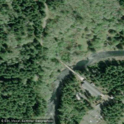
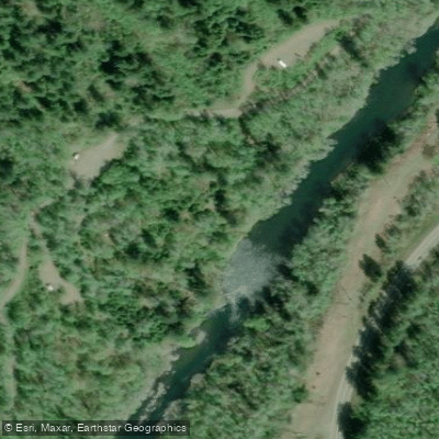
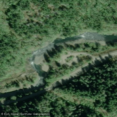
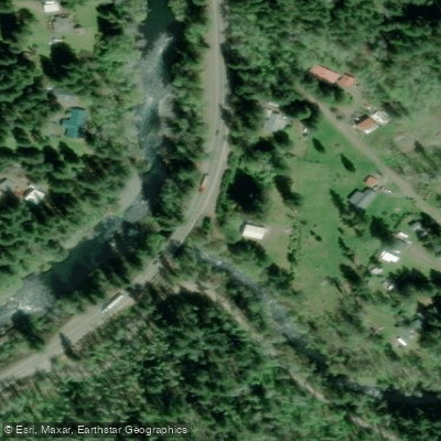
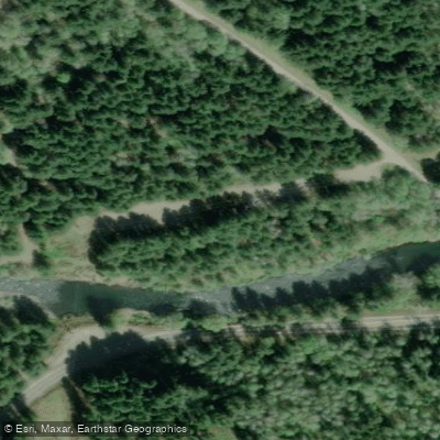
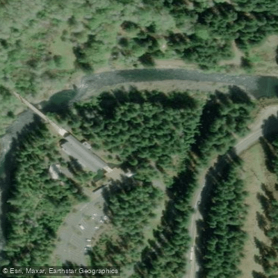
Learn how to get on Wilson River. Uncover great paddling access points, boat ramps, and all the facilities you need for an unforgettable day on the water. Some locations shown may border or include private property. Always check property boundaries and applicable regulations before visiting. PaddleWays's Public & Private Land layer can help you plan your access with confidence.
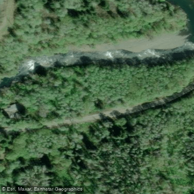
Paddle smarter with real-time insights
Whether you're en route and conditions shift or you're looking for the best spot based on current flows, we enable you to make informed decisions on the fly.








Find Places to Paddle

Over 400,000 Places to Paddle
Every user gets free access to launch points, boat ramps, and public property parcels.


Water and weather conditions (10 day forecast)
See the best times to paddle Wilson River and check the forecast before you go.
WILSON RIVER NEAR TILLAMOOK, OR
All Flow Stations
Paddling near Wilson River
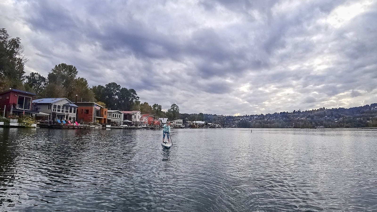
Willamette River

Columbia River
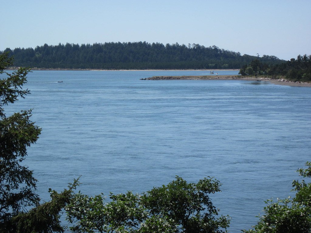
Tillamook Bay
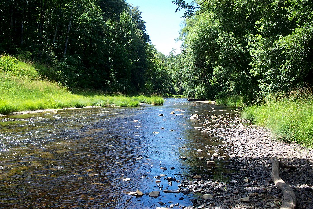
Nehalem River
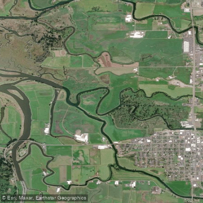
Hoquarten Slough
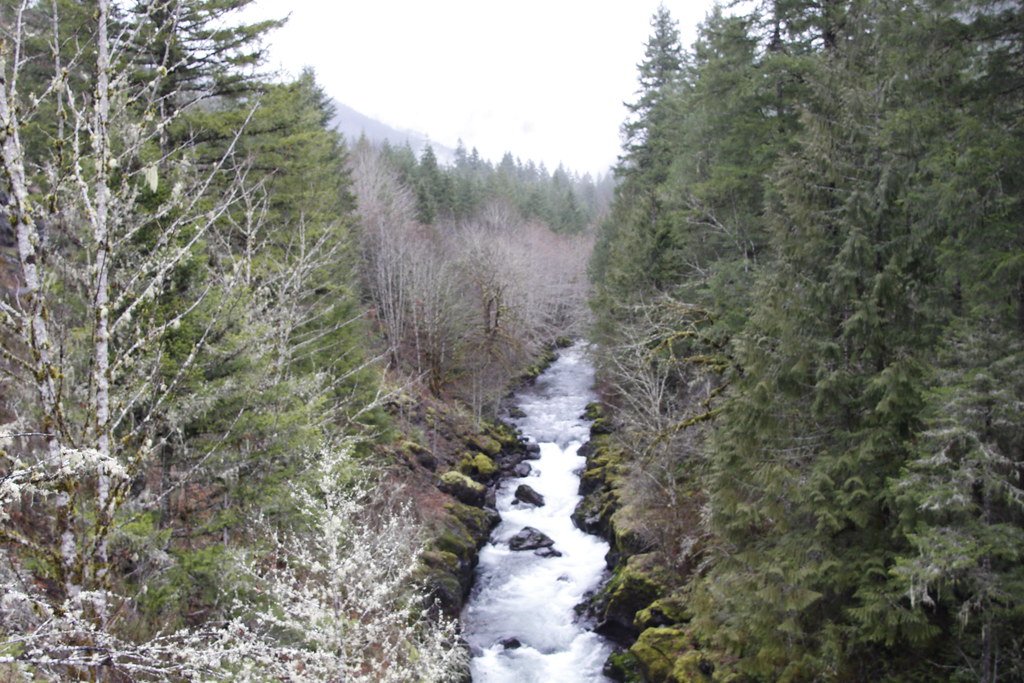
Molalla River
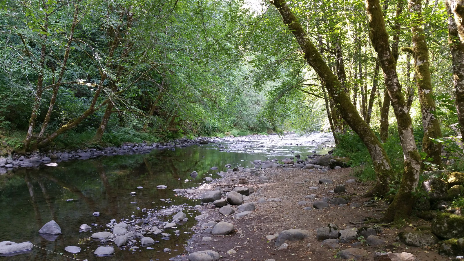
Nestucca River
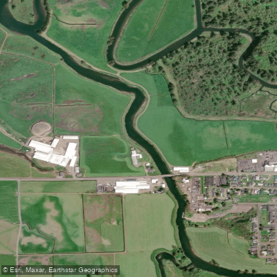
Trask River
Lewis River
Explore Oregon waters
Top paddling waters
Popular Cities
Loading popular cities...
Explore near Wilson River
Access points
Nearby waters
More in Oregon

Smarter Paddling Starts in the App.
Paddleways gives you everything you need to plan smarter, paddle better, and own every trip from first launch to takeout.